Posts

Day 120, October 20: The Guillotine and 10,315 feet of elevation change

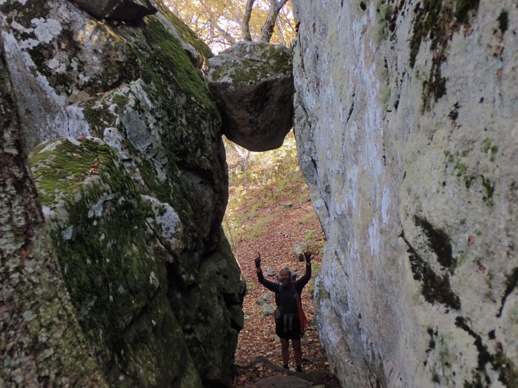
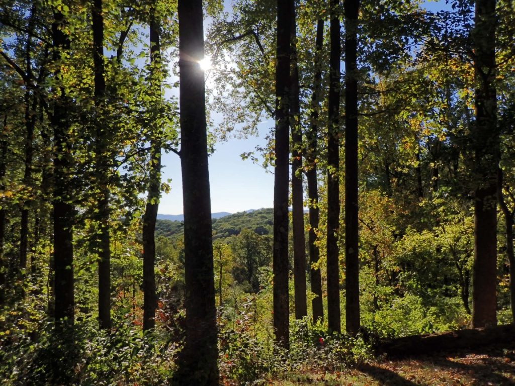
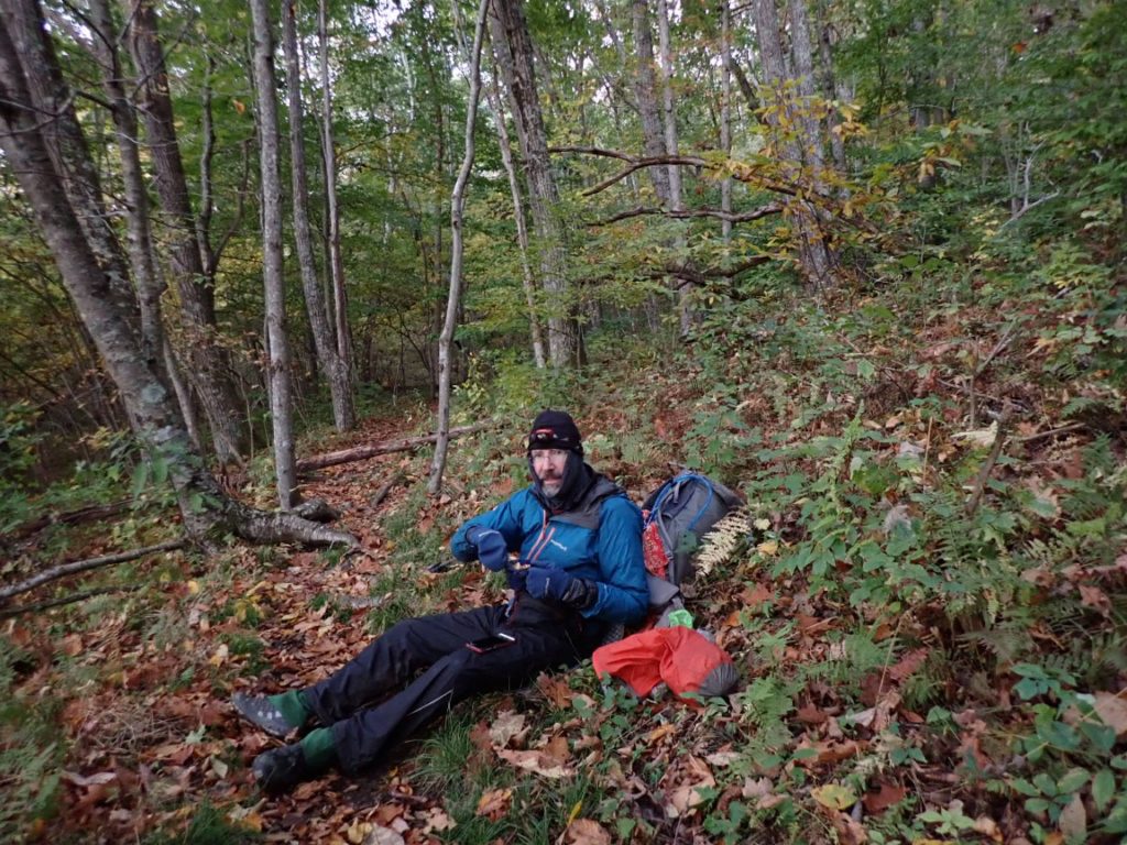
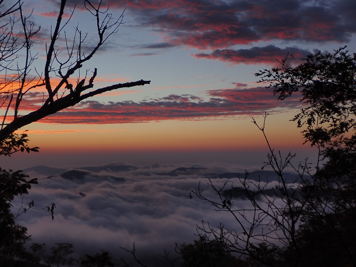
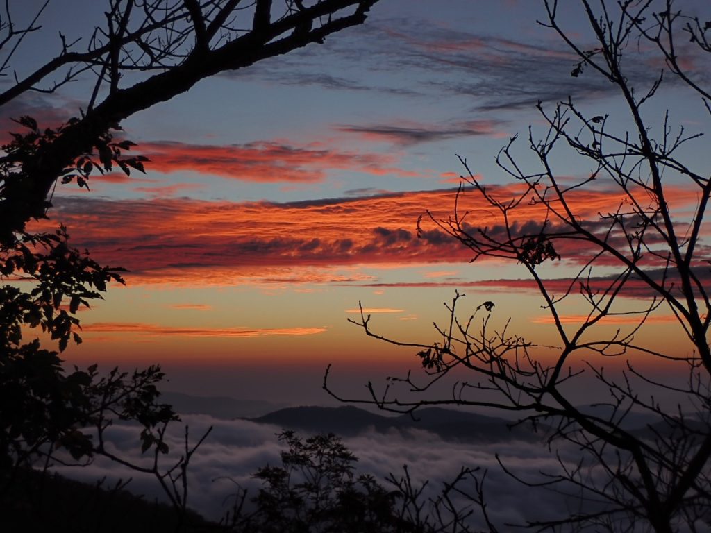
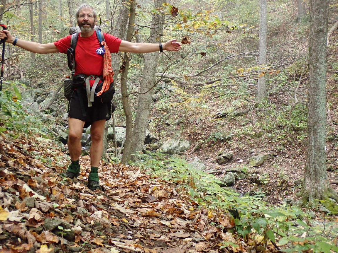
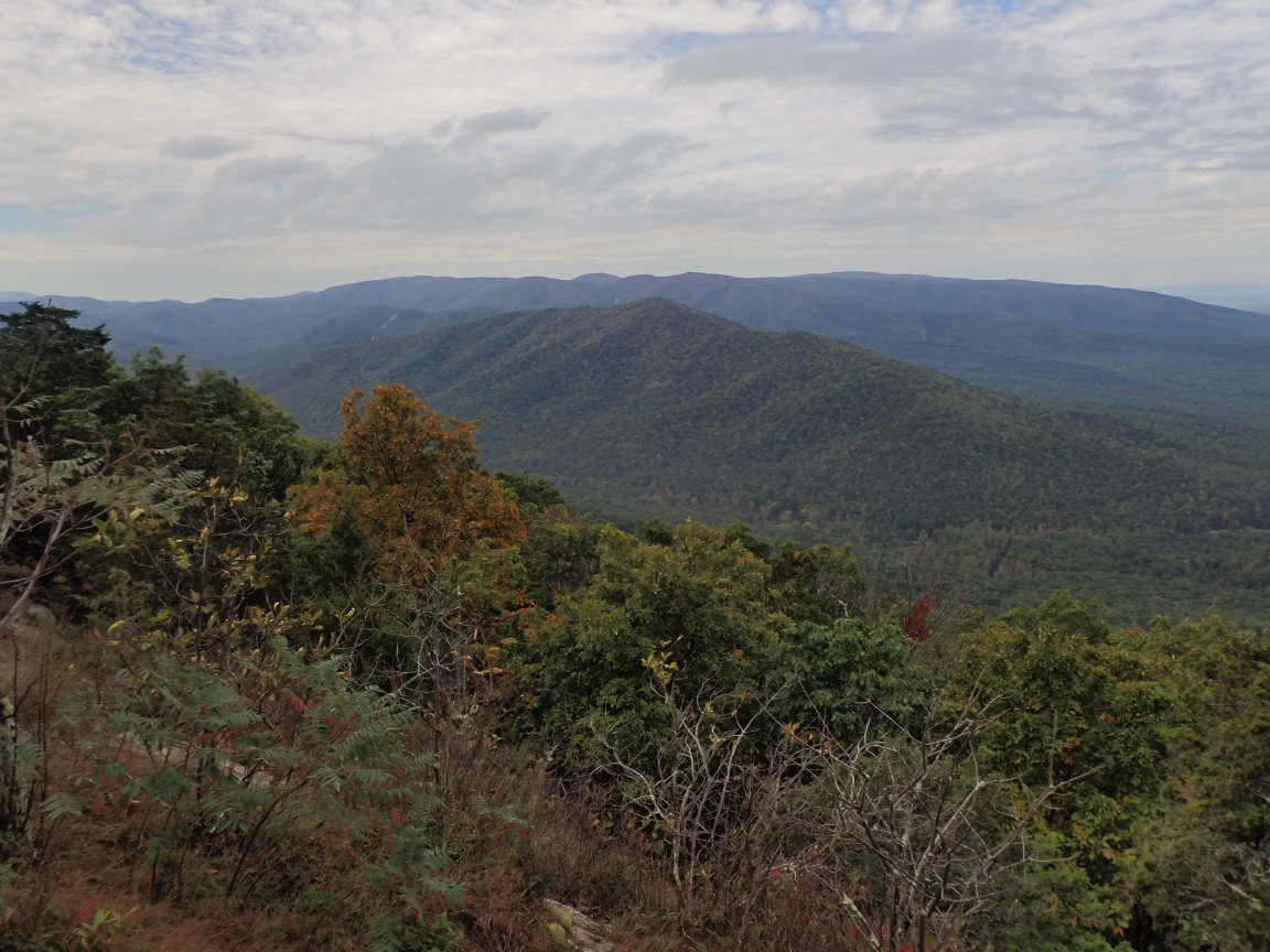
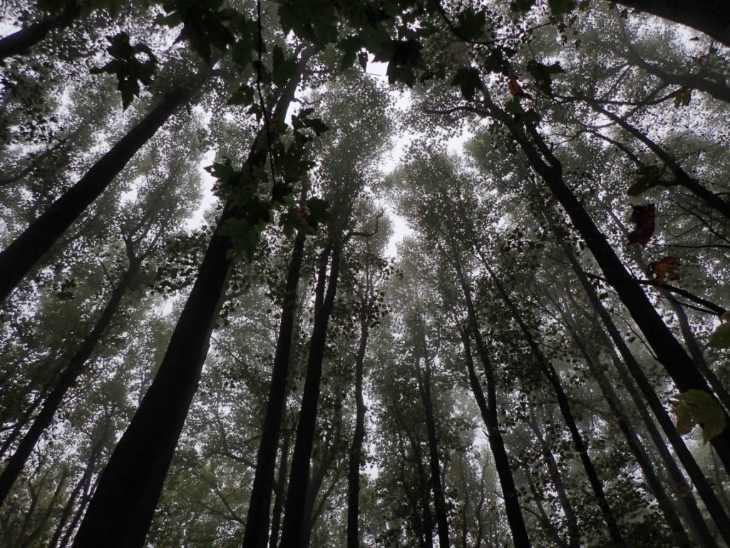
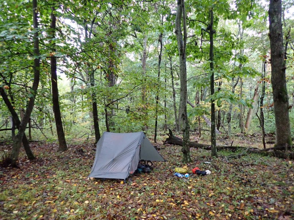
Day 120, 20-Oct.  Milepost: 1432.9 milrd, Daily: 19.4. Ascent: 4985′, Descent: 5330′, Highest: 4250′. Camp: Ridgetop between North and Middle Creeks, Jefferson National Forest, 2025′.  Cool weather and awesome hike over Apple Orchard Mtn (4,200′) and other ridgetops. Walked through deep layers of crisp, dry leaves on the trail.  Camped alone on nice ridgetop.  65.3% completed, 760 miles to Springer Mountain!

The Guillotine Rock on the AT
Continue reading “Day 120, October 20: The Guillotine and 10,315 feet of elevation change”

Days 118-119, October 18-19: Enjoying the Shenandoah and Virginia

Day 118, 18-Oct. Milepost: 1405.8 miles, Daily: 15.0, Ascent: 3820′, Descent: 4110′  Highest: 3350′.  Town: Glasgow (Stanimal’s 328 Hostel).  Great views from ridgetops on a chilly, windy morning. Warmed nicely for descent to James River.  Joined three section hikers for Mexican dinner in Buena Vista.  Nice, relaxing place to begin planning for colder weather into November and early December.

Day 119, 19-Oct. Milepost: 1413.5 miles, Daily: 7.7. Ascent: 2325′, Descent: 580′, Highest: 2610′.  Camp: Marble Spring, James River Face Wilderness,  2350′.  Excellent warm weather for climb above James River to a stealth camp in James River Face Wilderness. Short day on the trail after resupplying in Glasgow.

Continue reading “Days 118-119, October 18-19: Enjoying the Shenandoah and Virginia”

Day 117, October 17: 21 miles in the Shenandoah

Day 117, 17-Oct. Milepost: 1390.8 miles, Daily: 20.9. 64.1% completed!  Ascent: 2810′, Descent: 5685′, Highest: 4050′.  Camp: Lynchburg Reservoir Rd area, Blue Ridge Mtns, 1000′. 40 degrees in early morning! Great hiking weather with great sunny views from Cole Mtn. Long descent to 1000′ out of the wind.  Met the Sutton family who thru-hiked the AT this year with their 5-year old boy.

Cold morning!
Continue reading “Day 117, October 17: 21 miles in the Shenandoah”

Day 116, October 16: Shenandoah Sunrise

Day 116, 16-Oct.  Milepost: 1369.9 miles,  Daily: 17.4, Ascent: 5010′, Descent: 5210′, Highest: 4080′. Camp: Seeley-Woodworth Shelter, Washington National Forest, 3770′. Awesome sunrise while descending Three Ridges, followed by 3000′ ascent to The Priest ridge. 25 mph wind gusts and much cooler temperature. 62.5% of AT miles hiked.

It was the most scenic sunrise I have witnessed on the AT hike so far. Starting the days hike before sunrise gives me opportunities to watch the sun rise if I have a view through trees or on overlooks. The weather has been clear and cold in the mornings lately.

I enjoyed feeling the cool breeze while during a warm afternoon climb. But soon after this the rain and wind happened!

Days 114-115, October 14-15: Three Ridges Summit

It’s starting to feel like autumn in Virginia and the cooler, crisp days are also getting shorter as sunset becomes a little later every day. This makes it difficult for me to write on the blog every day. Satisfying my need for calories and sleep are taking over the days! But that means I am hiking strong and continue to be healthy. You will notice a change in the content of the blog. My posts written in my tent will be very brief. When I am staying overnight in towns with better bandwidth I will add more color.

Continue reading “Days 114-115, October 14-15: Three Ridges Summit”

Days 111-113, October 11-13: Shenandoah National Park, Part 2

The Shenandoah National Park is one of my favorite places along the AT. I say this despite the rain and clouds that obscured most the views of distance ridges and valleys. I continue to make good progress on the trail largely because of excellent trail and cool weather. The only problem I had involves my feet, which have grown larger beyond the shoe size 13-wide. Both big toes were bleeding. I will soon switch to size 14-wide. Yikes! Growing feet is common among long distance hikers. The temperature has been mild and only slightly chilly in the evening, night and early mornings even when it rained. On October 13 the weather changed and it became warmer especially in the afternoon as I hiked 20.7 miles to Rockfish Gap.  This was the end of the section through Shenandoah National Park.  I was sad to leave it because the mountains and forest were such a pleasure to walk through. 

Continue reading “Days 111-113, October 11-13: Shenandoah National Park, Part 2”

Days 108-110, October 8-10: Shenandoah National Park, Part 1

The AT in Shenandoah National Park is known for great trail conditions, amazing views of the mountains and valleys, waysides and lodges along the Skyline Drive where hikers can indulge in treats such as black raspberry milkshakes. Late in the afternoon on the third day of my hike through Shenandoah the forest was foggy and misty. Light rain had fallen much of the day making the trail a muddy and slick. I had already slipped on a wet rock that afternoon with a bruise on my right thigh to show for it. It was 5pm and time to look for a campsite scanning the leafy forest floor for flat, clear areas sufficient to set up the tent. Before crossing the Skyline Drive one more time I noticed a large area on the left side of the trail looked promising. My forage for a tent site did not take long, and just before I lowered my backpack to the soft, moist, leafy ground I spotted a deer slowly moving away from the vicinity of my home for the night.

Campsite in the forest on October 10, a misty, rainy day.
Continue reading “Days 108-110, October 8-10: Shenandoah National Park, Part 1”

Days 105-107, October 5-7: First days in Virginia

On October 5 I woke up in West Virginia at the David Lesser Shelter, which is about eight trail miles from the Virginia border. I looked forward to entering Virginia because it is the only Appalachian Trail state I once lived it (1962 in Lynchburg). But the border crossing was not the first thing I considered when getting a pre-dawn start with my headlamp beam pointed down toward my footsteps. Before entering Virginia the AT becomes a so-called “roller coaster” with numerous ups and downs which could be steep. I did not know if the 14-mile segment of roller coaster would be challenging or slow my progress toward my goal for the day 21 miles ahead. Yes, that is 21 miles, including 14 on a roller coaster!

Entering Virginia along the “roller coaster”.
Continue reading “Days 105-107, October 5-7: First days in Virginia”

Day 104, October 4: West Virginia

See my current, real-time location and daily trail log.

According to the Appalachian Trail Conservancy the West Virginia portion of the AT is only 25 miles. After hiking 9 miles today I expect my stay in the state will end tomorrow! Virginia, the next state going southbound, has the most distance of all 14 states along the trail.

Shenandoah River from a highway bridge near Harpers Ferry.
Continue reading “Day 104, October 4: West Virginia”

Days 101-103, October 1-3: Maryland

The area near the border with Pennsylvania and Maryland is called Penn-Mar. The border is also considered the Mason-Dixon line. It is one of many historically significant points of interest along the AT. Because I camped only one mile from the Penn-Mar border the previous night I reached it very early in the morning. Thus, my short journey through Maryland began on October 1.

Penn-Mar border at the Mason-Dixon Line.
Continue reading “Days 101-103, October 1-3: Maryland”