Hiking the CDT is to “embrace the brutality.”
The CDT reaches the high, snowy country just north of Cumbres Pass in little time. I added a lot of weight to my backpack in Chama: snowshoes, microspikes an ice ax and a a seven day supply of food.
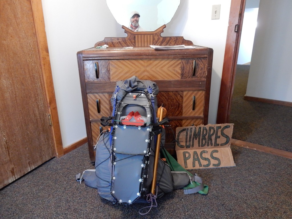
With all the added gear and food it was no surprise that I burned out by the end of each of the six days it took to hike this 65 mile section. Those days included long distances of level terrain with nearly 100% snowcover, removing the snowshoes and putting on the microspikes on steep, icy terrain and sometimes carrying the ice ax when a slip could result in injury below, or worse. “Embrace the Brutality” is a very appropriate slogan for the CDT in this section.
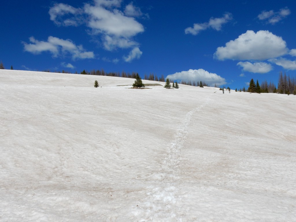
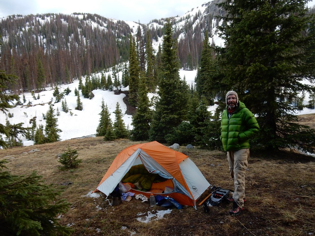
On Friday, June 3 I departed Cumbres Pass with Paul and Chantal, and after some tedious snow traverses in the trees we made what was the most scenic camp so far.
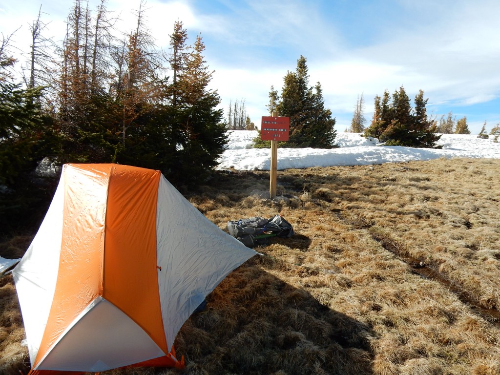
The next morning, June 4, we were surprised to see the glow of another hiker’s headlamp. It was Freebird, who started from Cumbres Pass several hours after the three of us, and arrived at our campsite long past lights out time. At 5:15 am all four of us started hiking together and quickly encountered snow that was still hardened from the nighttime cold temperature. The only problem, and this was typical in the entire section, the hard snow was only a wind-crust near the surface.
My boots plunged through the crust often, and the snowshoes became the better hiking tool. Changing the snowshoes on and off was a daily ritual. Walking on flat terrain over rocks, mud and boggy meadows with snowshoes happened more than I would like, but the snow was melting fast and exposing intermittent snow-free areas. Some spots had inches of water under the crusty snow.
On the third day of the section, June 5, the four of us agreed to take a lower alternate route to avoid what was reported as avalanche danger on the higher CDT. The reports were posted on Facebook by hikers who proceeded us. To me, however, the lower route seemed very tedious as the trail descended through a densely forested river valley, required a very risky river ford, and ascended through an equally tedious and tiring ascent back to the official CDT up high at 12000 feet. Under the trees the snow melts slower and is inconsistent in depth, and those conditions require many ups, downs and around the remaining piles.
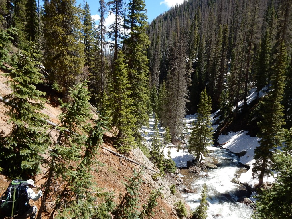
I looked forward to climbing out of the trees. But before reaching the higher, snowy ridges we made an early camp due to the ominous dark clouds fast approaching the valley. The decision was a good one…marble-size hail and rain fell strongly on my tent as I napped in the cozy confines of my tent. And stopping early on day 3 was wise…I was very tired after the up and down hike into the valley and the frequent mounds of snow.
June 6, the fourth day from Cumbres Pass, was the day I won’t forget. Freebird did a great job keeping us on the route, climbing over 1000 feet to reach the tree line to rejoin, finally, the official CDT route. We had to move with a sense of urgency because there were about 12 miles of very challenging, maybe hazardous, terrain before good campsites could be found past the extremely steep traverses of Summit and Montezuma Peaks. The likelihood of thunderstorms made the drama even more interesting!
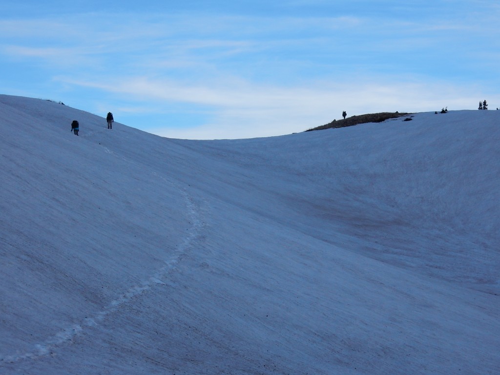
I had read the accounts of several CDT hikers who had passed through this area one to two weeks previous. Their descriptions included words such as, “avalanche risk”, “dicey”, “beyond tolerance for safety”, “cracks in the snow”, “exposure”, and “had to bail”.
I thought of those words while approaching Summit Peak. While gripping my ice ax tighter and tighter on the increasing steepness of the snow-packed mountain, I was optimistic that conditions had improved since the other hikers traversed here. Their snowshoe and footprints in the icy snow added to my sense of confidence that slow, careful steps would get me and my friends across Summit Peak and Montezuma Peak safely.
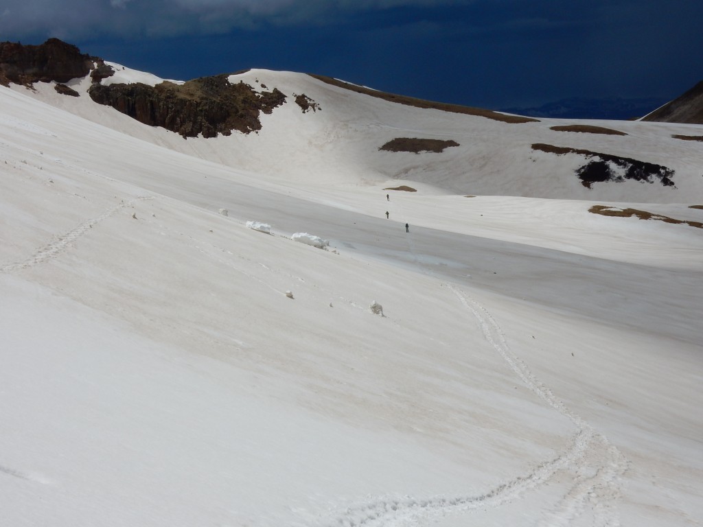
The drama was even more acute when the dark clouds produced some rain & wind, and later when Freebird’s snowshoe had a grommet failure that will need repair in Pagosa Springs. We pressed forward until we reached a point along Long Trek Mountain that was so steep the only reasonable option was to drop onto the steep, somewhat soft, snow and glissade about 100 feet lower where we could continue our trek to a flat, snow-free area where our three tents could be set up as our alpine home for the night.
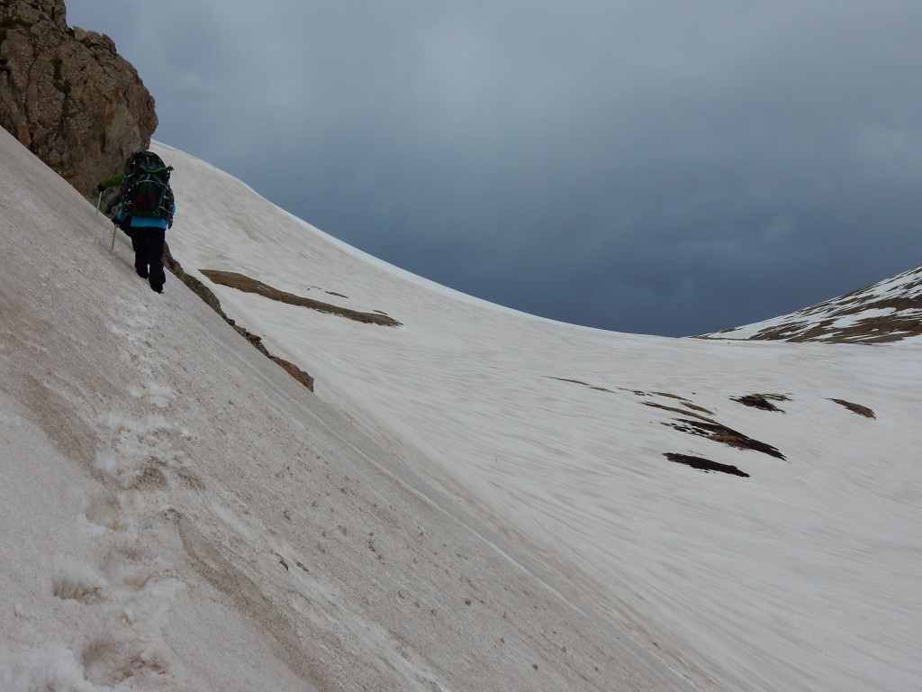
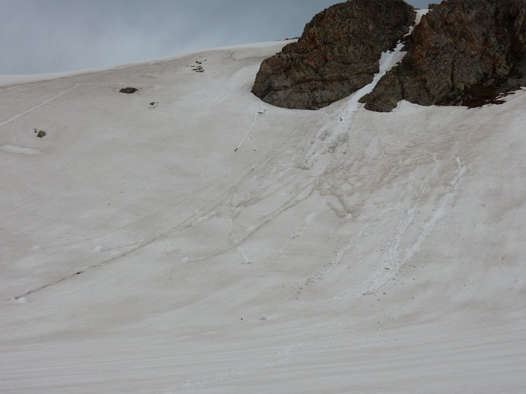
What a day…one of the most memorable in my 36 years of backpacking! I congratulated Paul, Chantal and Freebird for doing what we set out to do safely and adventurously.
Two days later, on June 8, I arrived at Wolf Creek Pass to complete the six day, 65-mile section in southern Colorado. Carrying snowshoes, microspikes, ice ax and using them on the challenging terrain in places that were often above 12000 feet challenged my stamina and, at times, steadiness. I loved meeting the challenges and the rewards of passing through some of the finest wilderness Colorado offers to long distance hikers. The experience forced me to assess how I will approach to trail north of Wolf Creek Pass. I am reminded of something my friend and Triple Crown hiker, Bruce Hammack, told me about how I can rely on my maturity to make good decisions on the Continental Divide Trail. That is exactly what I decided during the last few miles leading to Wolf Creek Pass. Make no mistake, I will continue north from the pass on Saturday, June 11. The last 65 miles taught me a few things about myself, about safely making my way to Canada and enjoying this experience to the fullest, and appreciating the support from home by my lovely wife, Cindy!
Link to my InReach tracking map (see where I have hiked, updated hourly): Tracking map
The stats:
Day 47, June 3: 10 miles; Gain 2760 ‘ / Loss -930’
Day 48, June 4: 12 miles, G 1980’ / L -1910
Day 49, June 5: 14 miles, G 1270’ / L -2290’
Day 50, June 6: 12 miles, G 3890’ / L -2480’
Day 51, June 7: 14 miles, G 2120’ / L -3400’
Day 52, June 8: 7 miles, G 600’ / L -820’
Highest elevation: 12710’ on Day 50.
Total miles to date: 728 (26% completed)

It is hard to imagine hiking on that crusty snow. I am thankful that you took a route that kept you out of avalanche danger! Stay safe!
Yikes! I’m sure glad I didn’t see these photos until you had made it safely to Wolf Creek Pass. I knew I’d married the bold and courageous type, but wowza! You deserve a soak in the hot springs and all the other comforts that Pagosa Springs has to offer. : )
Looking good with the beard Roger. Stay safe 🙂
I’m keeping track of your progress on the Delorme link. What breathtaking scenery! I am proud of you!
Woohoo!!!!
Pretty treacherous climb; sounds like you made some good decisions. What an adventure you are having. Thank goodness you had the right tools available. I found I was holding my breath while reading. Stay safe. PS Seattle beginning to fade. Bob/Marian
Quite a feat, I’d say. Congratulations on making it through this part of your journey!