NOTE: My previous blog post was sent out incomplete. Read the full post here: https://elkpass.com/2022/07/30/cdt-montana-idaho-days-14-15-july-22-23/
On the morning of July 24 I wished for a high energy level, at least for a 68 year-old hiker. I ate well the day before but I anticipated the terrain would be more challenging. Moreover, I wanted to complete the 220 mile hike on the 27th, the day I would run out of food. I wanted to feel good about this hike when it was over. Early in the morning I knew my first wish was granted!
With a heavy heart I waited for Ronnie to pick me up for the drive from Salmon to Chief Joseph Pass. The nearby Moose Creek fire had expanded to over 20,000 acres and two helicopter pilots died in a crash while fighting the wildfire. My complaints of breathing smoke and watery eyes were trivial. The effort to hike on the first day back on the trail was easy compared to the tough and dangerous work done by fire crews.
Day 11, July 19: 17 miles (arrived in Salmon, Idaho)
Previous to arriving in Jackson, where I took a rest day off the trail, the annoyingly steep trail and oxygen starved high elevation encouraged me to slow down, stop and breath deeply. After the zero day I had hoped the rest would propel me up and down the CDT with renewed vigor. But, no.
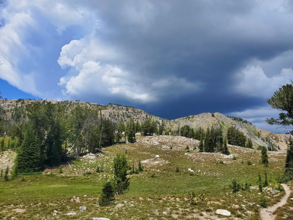
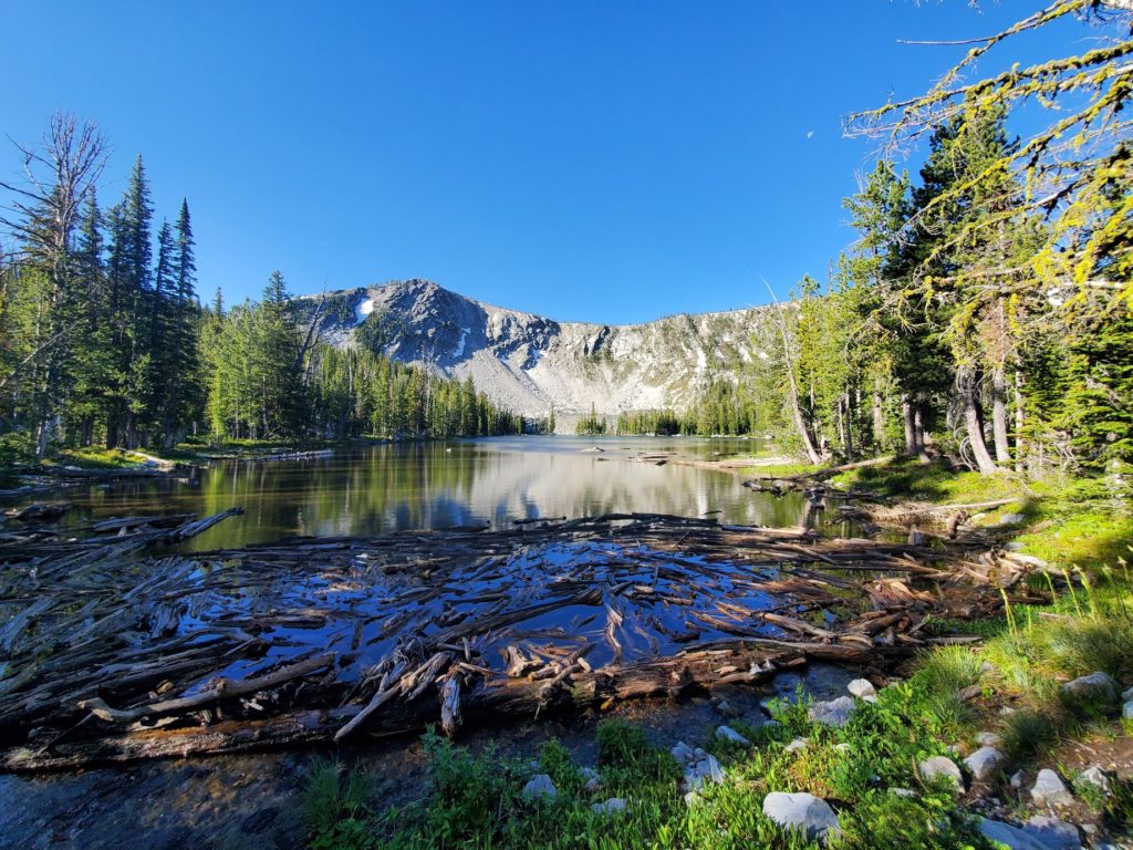
After leaving a campsite near Rock Island Lake I slowly climbed to a high saddle at 9227 feet while fending off mosquitoes that never really went to bed last night. The route on the downhill side was not obvious, so I took time to enjoy the view. I kept reminding myself that I am in no hurry, thanks to avoiding over 60 miles of trail I hiked two years before.
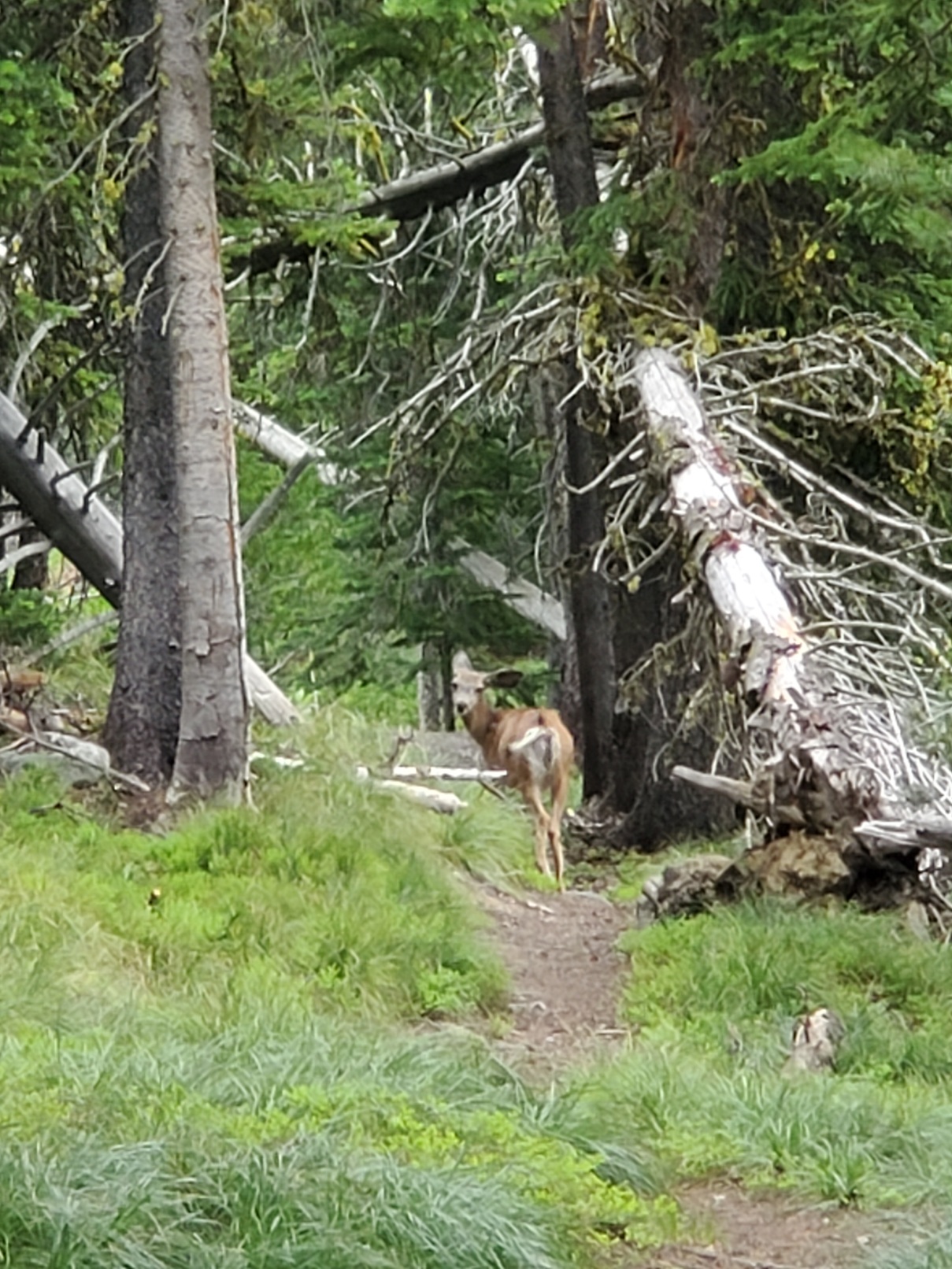
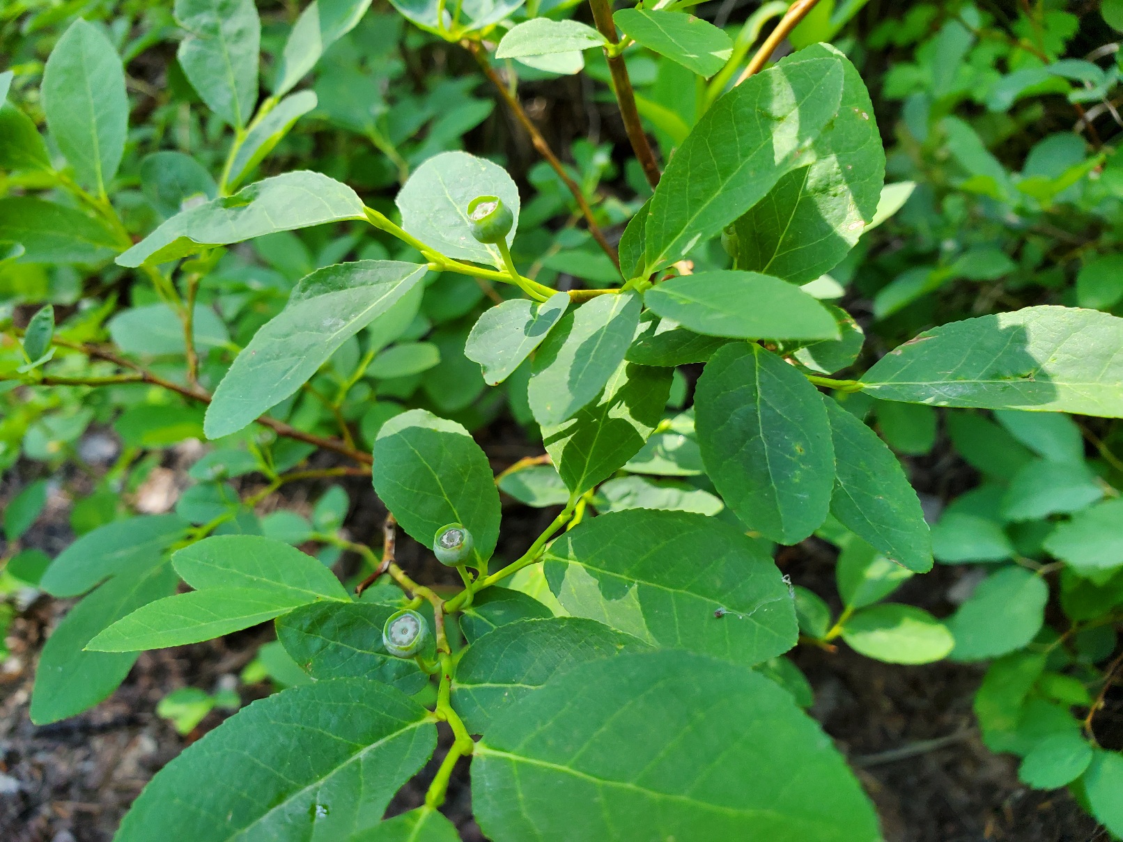
With the peaks of the Divide on my left and meadows and small lakes ahead I let gravity assist my downhill progress northbound. I was not feeling my best, though. However, the day off from the trail was an excellent mental break, and I viewed this part of the CDT with enthusiasm. Getting a good look at a mule deer helped, and meeting day hikers was nice. It was Sunday and trail users ranged from hikers to ATV users. During a short rest I noticed a huckleberry bush with tiny, green berries. In a month or so bears will come here to feed on the berries. For now, I was happy to have no bear encounters.
I have been very careful storing my food at night. I have an Ursack that is designed to prevent a bear from getting at the food, although the contents might be crushed beyond recognition. The purpose is to avoid bear from becoming habituated to human food. Grizzlies can’t climb trees, so the best storage technique is to get the bag above the ground.
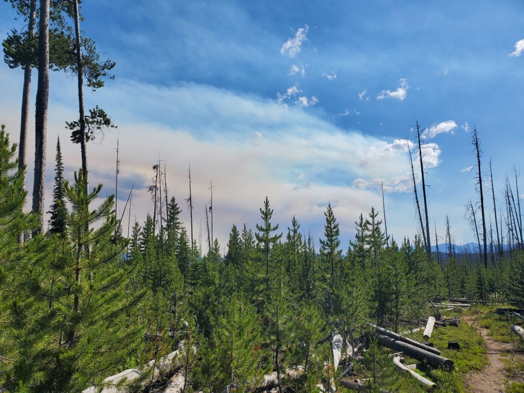
I became concerned about the air, which turned smoky even to the point of casting a reddish hue on almost everything. A day-hiker told me a fire started northwest of Salmon, the town I would go to within a couple of days. Yikes! I could see the plume of smoke rising at times, and a look into a GPS map app confirmed what the hiker told me.
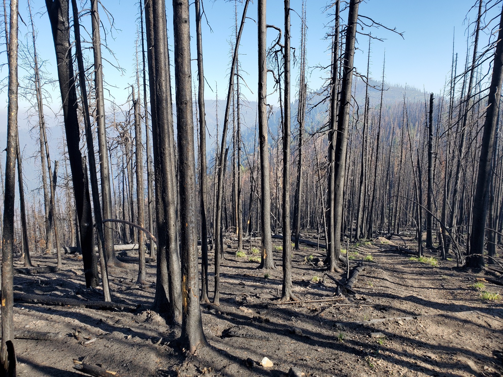
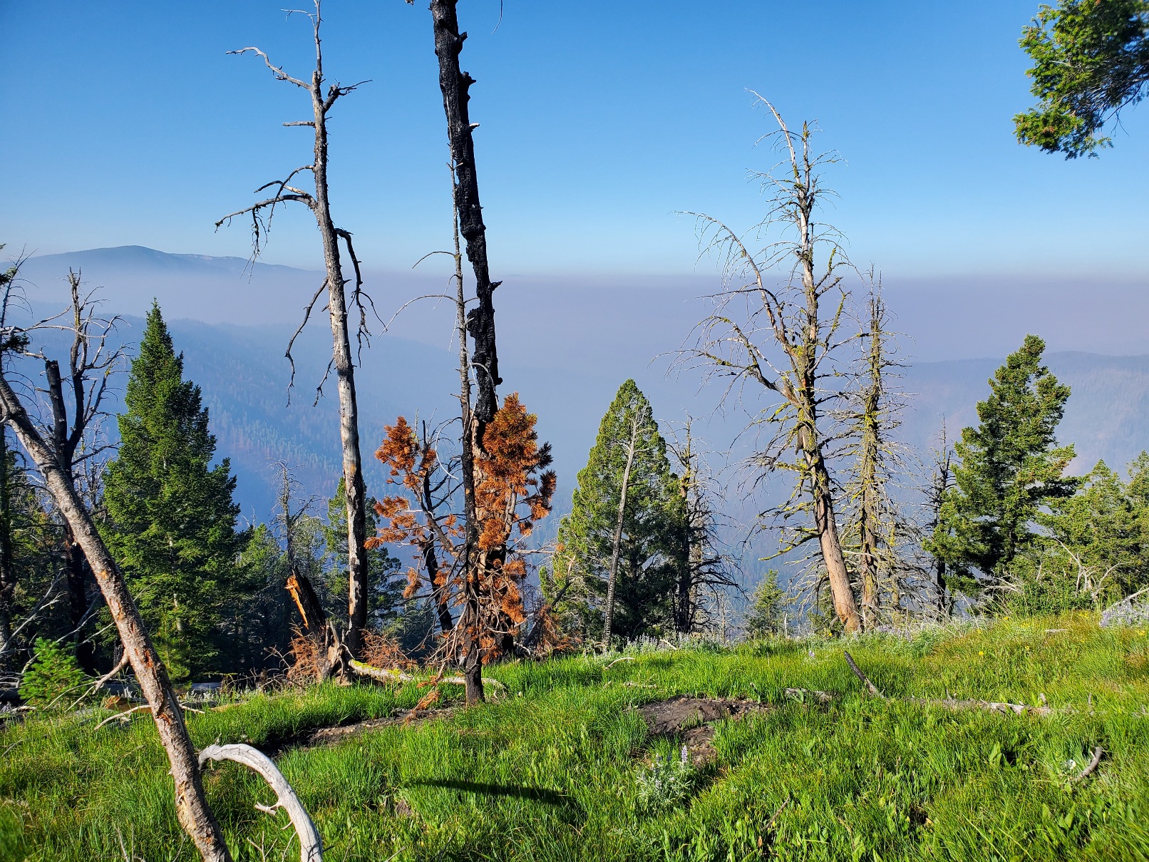
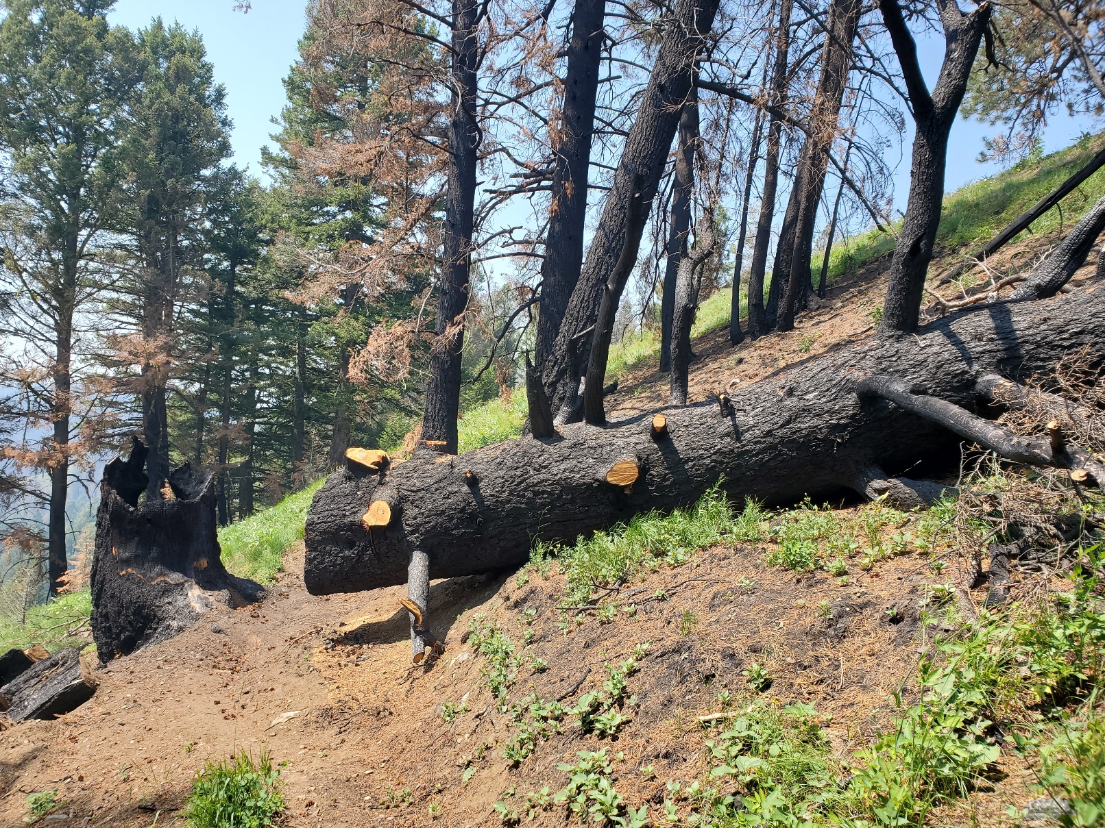
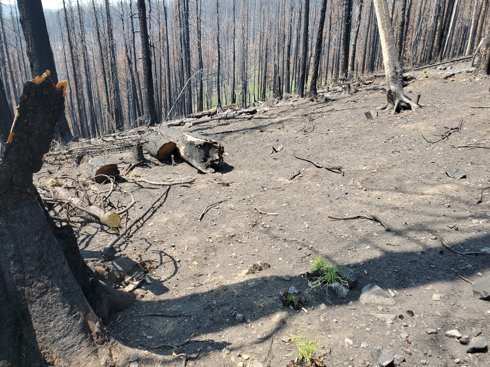
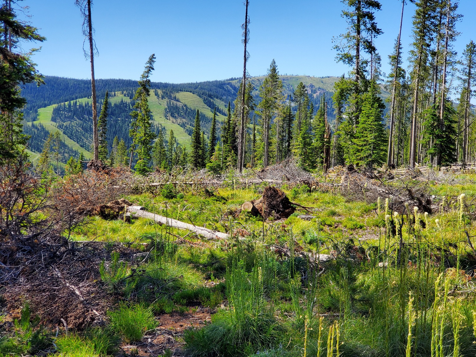
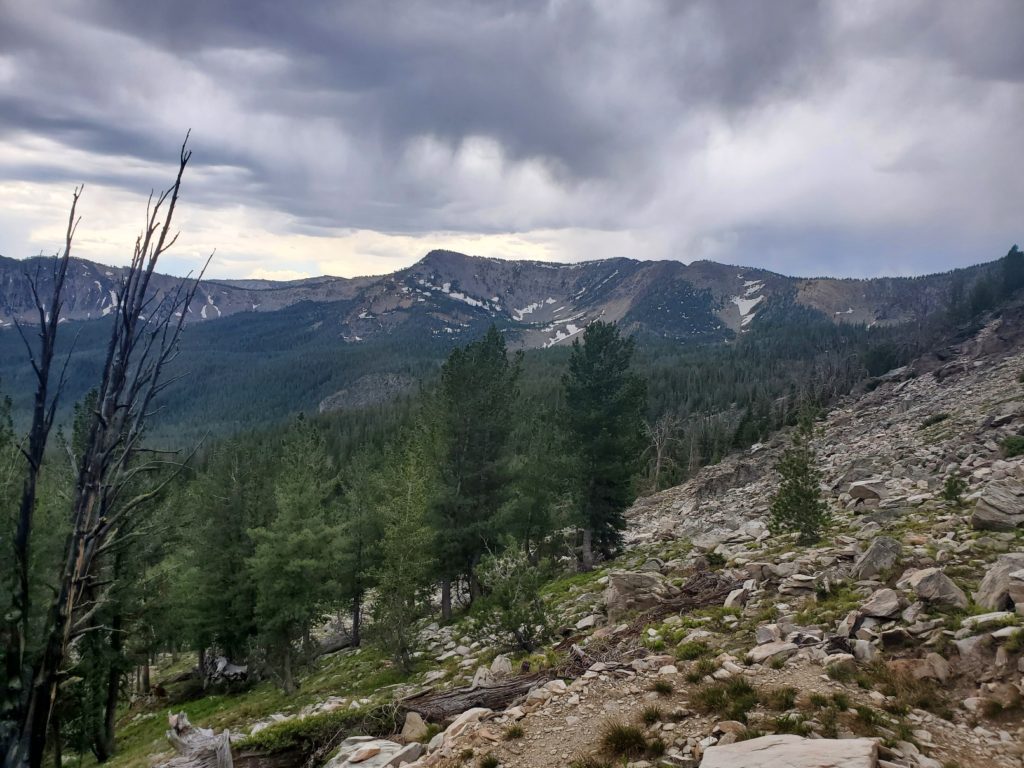
Moreover, the trail beyond Big Hole Pass is affected by several large burned areas. Wildfires are always a significant concern, but in the past decade or two the fires have become more severe. The extended drought in the mountain west has left trees compromised with bark beetles, weakened roots and tinder dry conditions. In the burned areas I observed the stark contrast with the greener, healthier areas I walked through. In some places the forest floor was nearly devoid of any vegetation. Some beargrass and lupin have managed to survive a sparse existence among mostly barren land. A huge, old growth tree burned and toppled to the ground. Trail crews cut the trunk to clear the path for hikers. The diameter of the trunk was greater than the length of my trekking pole.
Life still does exist even in among the dead trees. While resting on a rare and tiny patch of green ground cover that was spared from the recent fire I noticed a woodpecker doing its work on the blackened remnants of the standing trees above me. I used my smartphone to record this sign of life, which I appreciated while eating nuts and dried fruit.
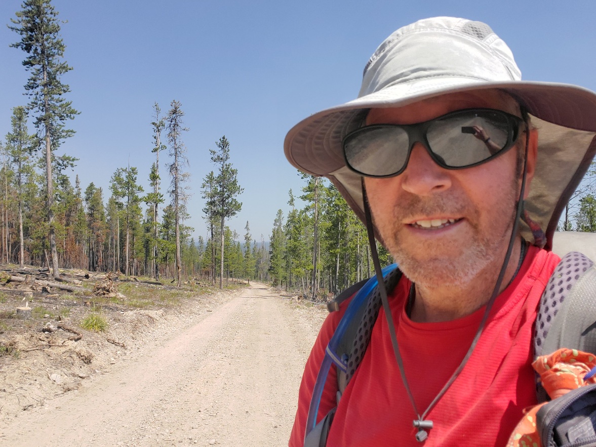
The area between Big Hole Pass and Chief Joseph Pass was hot, steep and a challenge to hike on a hot, low humidity day with the not-so-subtle hints of wildfire smoke entering my respiratory system. I committed to reaching Chief Joseph Pass late that afternoon so I could hitch a ride and sleep on a bed in Salmon rather than under the smoky sky of the Continental Divide. I did it, and it was fun despite the discouraging environment of climate change. Hike on!
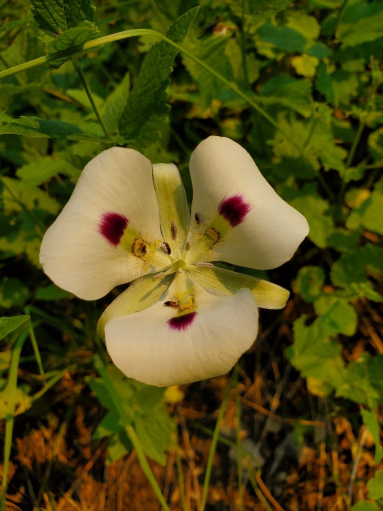
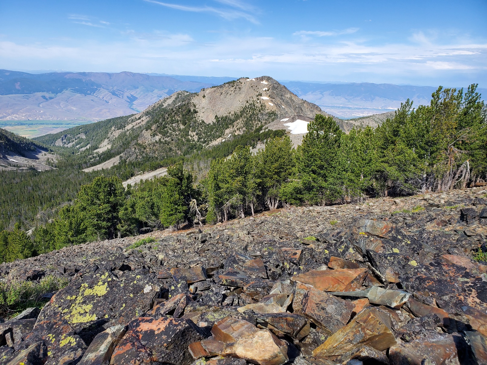
Ajax Peak: look up Hank Williams, Jr.Mule deer.Huckleberry. White Mariposa Lilly.Old growth tree killed by drought and fire.Dead.On the road to Chief Joseph Pass. Lost Trail Pass where Lewis & Clark lost their way temporarily.
Day 6, July 14: 14 miles to Miner Lake and trail town Jackson, Montana.
After two previous tries I was so happy to finally hike to and across Lemhi Pass, where the Lewis & Clark Corp of Discovery reached the Continental Divide on their way to the Pacific Ocean. I was apprehensive about starting uphill over 1500 feet from the pass with 4 liters of water because the next water source at Goldstone Pass was 19 miles away! It went well! I camped about 5 miles south of Goldstone Pass.
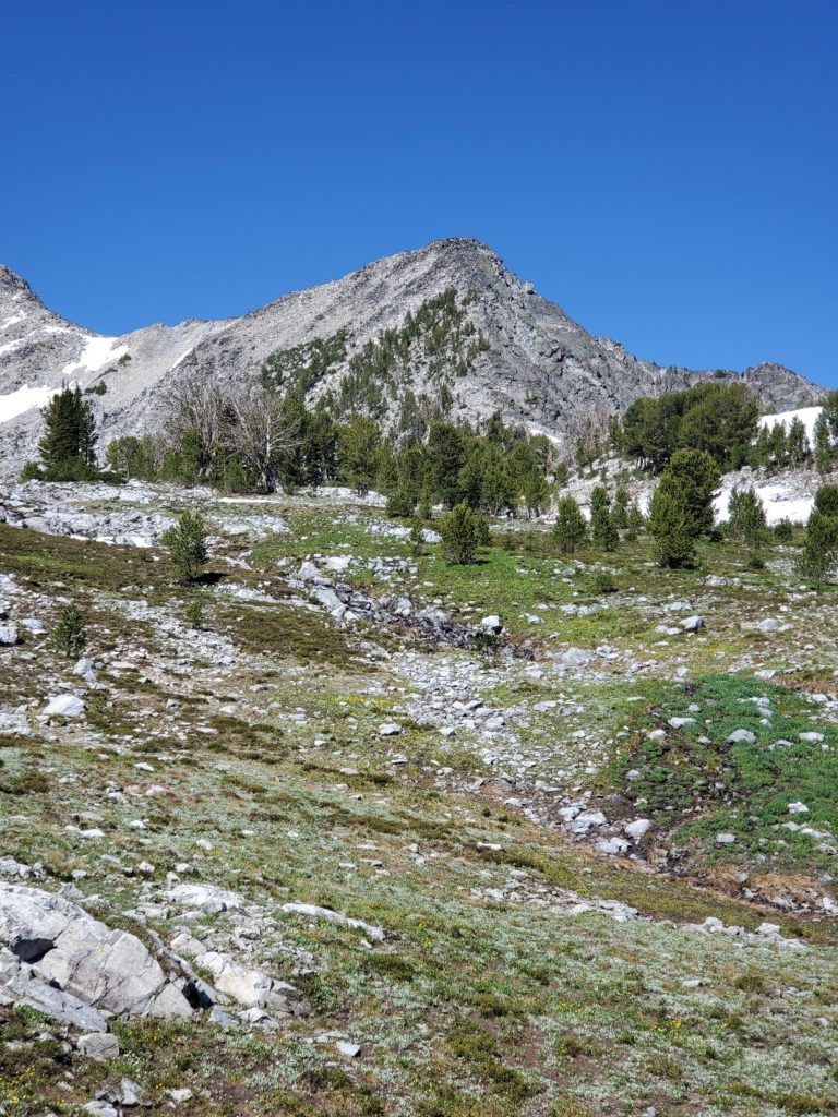
Resting and rehydrating at Goldstone Pass. After climbing above Goldstone Pass I stopped at 9000 feet to check nearby lightning risks.It looked safe to proceed after lightning.
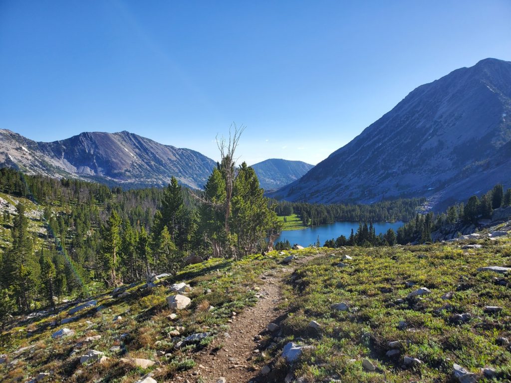
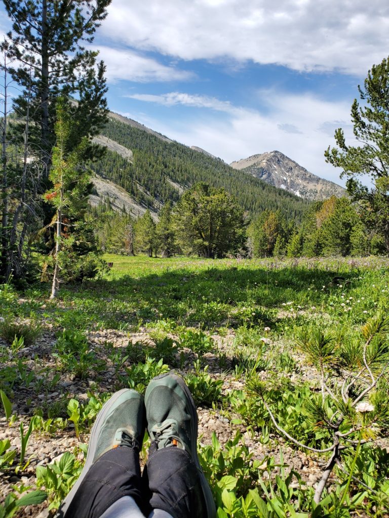
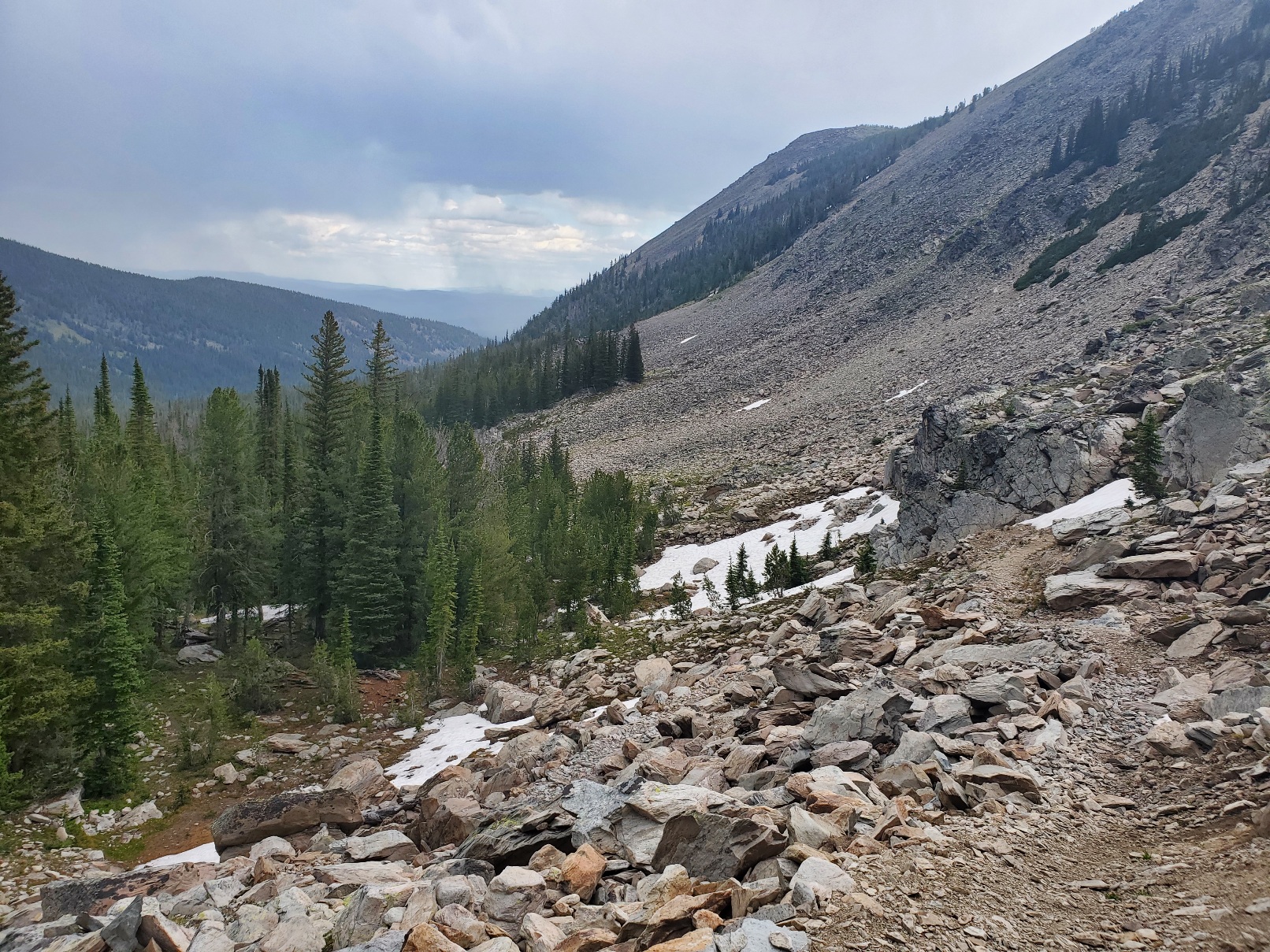
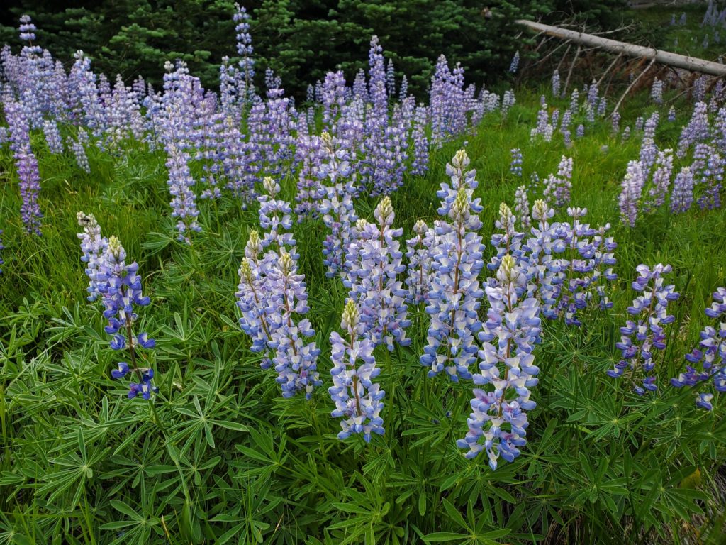
The next morning I reached the spring near the pass where I rested a drank plenty of water. Thunderstorms were in the area as I climbed over the next ridge above 9000 feet. After taking shelter to asess the risk, I continued safely. A few lingering snow patches remained from the heavy and much needed winter snowpack. The hike down into the next valley was exhilarating as I turned on the numerous, rocky switchbacks that were sometimes covered by snow. Lower, the amazing wildflowers, especially Lupine, graced the trail in the valleys. Hiking uphill at 9000 feet and above is still very tough, and the concept of Staying In My Own Lane works…slowly and steadily I will get along the trail!
Lupine
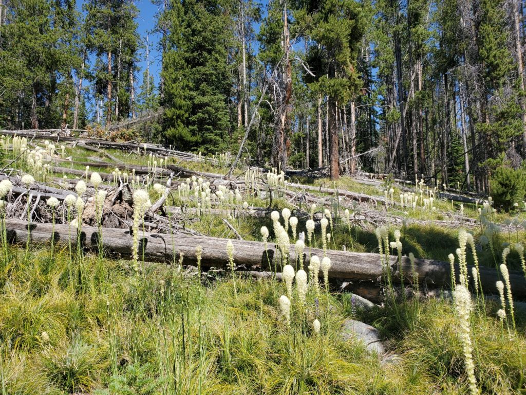
On Day 6, July 14 my goal was to reach Minor Creek where I would walk 3 miles to a campground and, hopefully, get a ride to the tiny town of Jackson. Along the way I enjoyed lush green meadows, wildflowers, ponds, streams flowing over the trail, two fords over knee-deep creeks and…mosquitoes! I really enjoyed seeing Beargrass in full bloom with tall, white stalks reaching toward the sky. Beargrass was an important resource for Native Americans, who used the strong grass-like blades to construct baskets and other containers. I think deer like the white petals. The hiking was easier, thanks to good trail conditions and no steep, rocky ascents.
Beargrass.
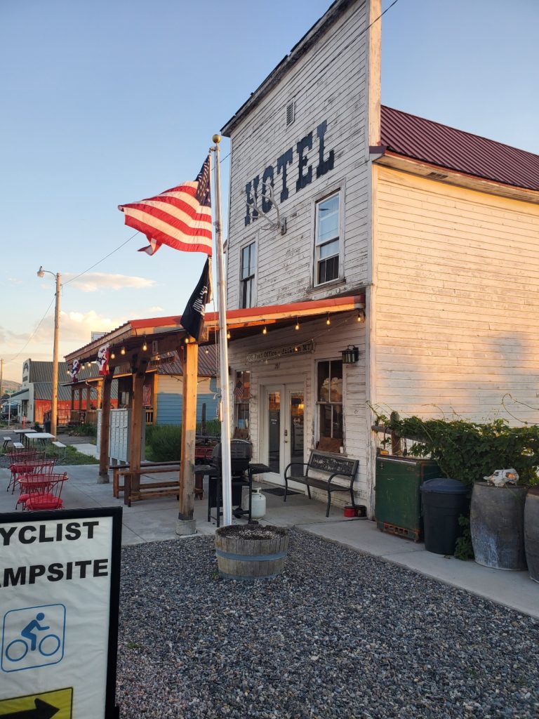
The walk to the Miner Creek Campground was hot, and I was hopeful to get a ride to town. There was not much traffic leaving the drive-in campground, and I was resigned to camping there and possibly yogiing some beer and food from a group of three men camped next to a campsite I was eyeing for the night. But, fortunately, I flagged down a vehicle along the dusty campground road just before it left me in the dust! By 7 pm I was eating a burger at the Jackson Hot Springs Restaurant! The historic Bunkhouse was a delight to stay for the night even though I camped comfortably on the grassy side yard.
When I blog on my hikes I do not create posts for every day because after hiking all day my strongest urges are to eat and sleep. And I assume the readers do not need to know every detail, like where I was when I ate lunch, the names of every hiker I met, etc. Although, they will get mentioned from time to time. Days blend together, and what seems less important one day may grow to be of greater significance later.
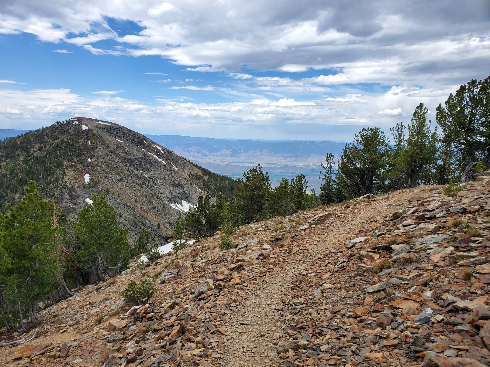
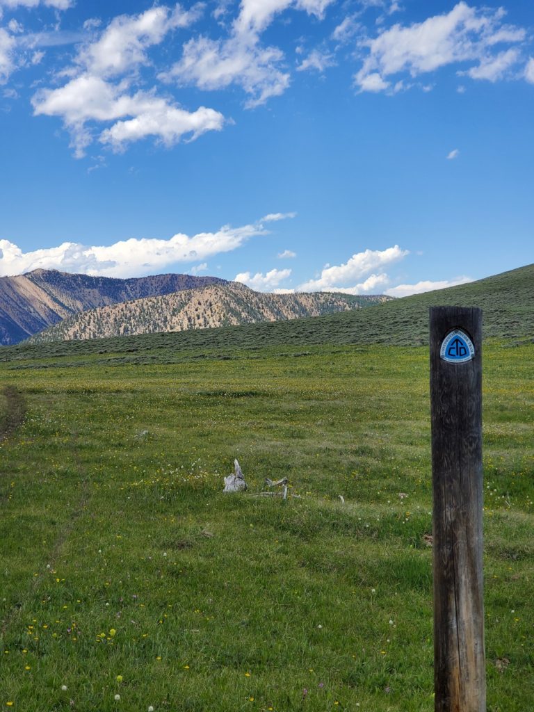
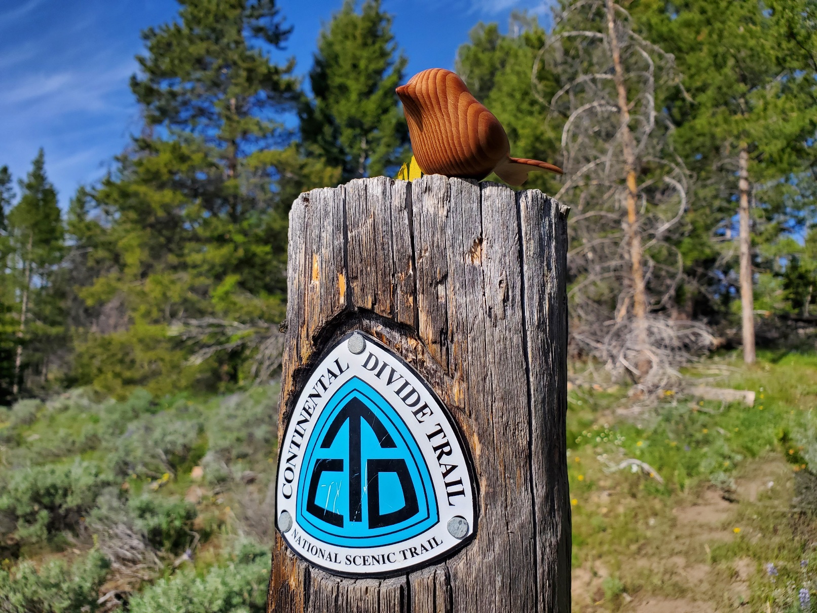
The CDT north of Bannock Pass, Montana
Day 1, July 9: 12.5 miles, ascent 3009 feet, descent 1870, high 9140.
Day 2, July 10: 14.2 miles, ascent 2050 feet, descent 3540, high 9460.
I chose to hike 221 miles of the Continental Divide Trail so that I can experience and see the official route that I bypassed in 2016 on my thru-hike of the CDT.