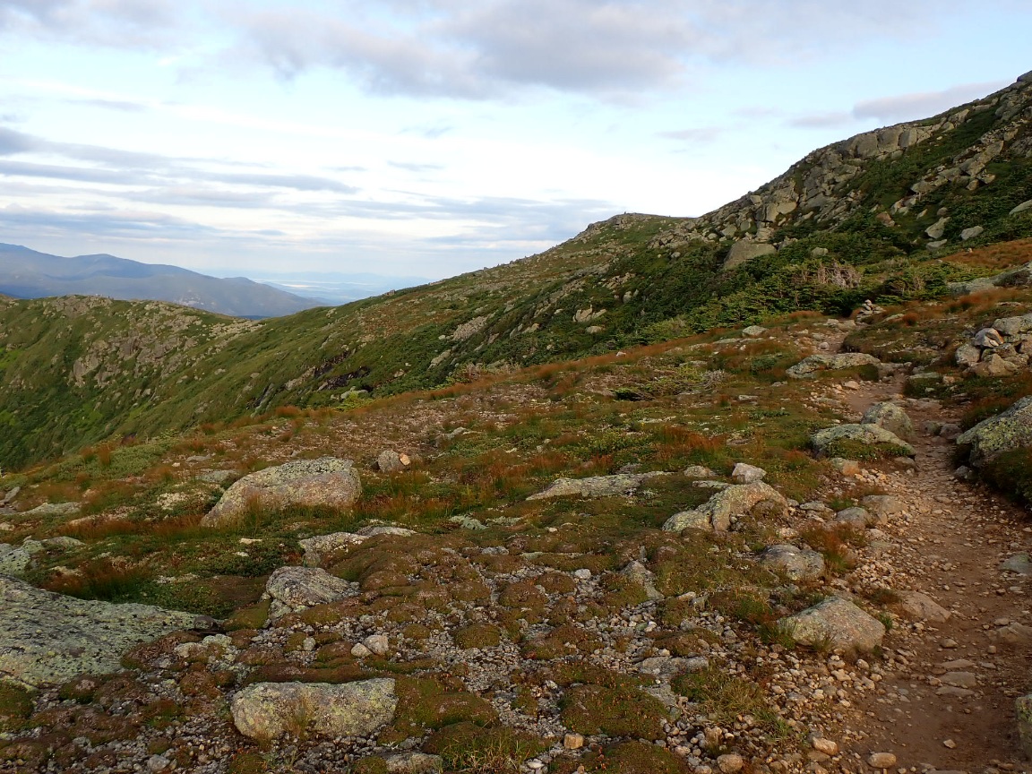
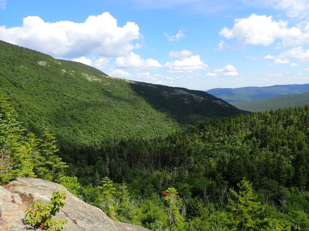
The light was excellent in the crisp, early morning and made photographing the Presidential peaks a pleasure. Unlike the evening before, the wind was calm and sun warmed me as I walked on a very nice trail. The first peak the AT traversed was Mt. Monroe. The views of the peaks ahead and the valleys were outstanding and helped me forget the forecasted rain late in the afternoon. I needed to keep moving to reach Highway 302 and Crawford Notch while it was dry.
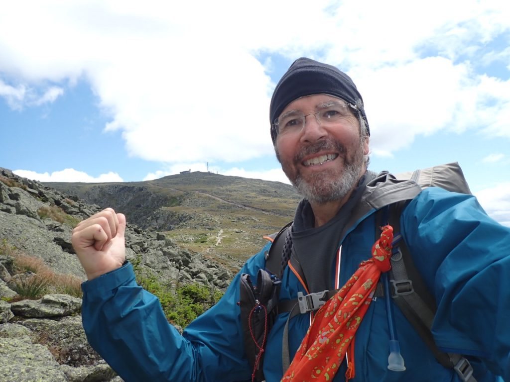
Good karma came in the outstanding weather for the hike up and beyond Mt. Washington. The photos tell the story. Sun, light winds and acceptably cool temperatures made this a special day on the AT. At the visitors center I celebrated by eating cookies made by my lovely wife Cindy (trail name Snake Maiden).
Day 34, July 26 is forgettable and I will not write about it except to say my knees took a beating on the torturous descent from 4,050’ Wildcat D Mountain to 2,090’ Pinkham Notch, which has an AMC Visitor Center. From there, the fun of following the AT high above treeline to the Presidential Range started in mild, calm, sunny weather. It was my good fortune to have such a day because hiking in the Presidentials in cold, rainy and windy conditions can be perilous.
I wanted to avoid hiking the steep ascent before rain started falling after 9 or 10 in the morning. At 6:00 am the air was still calm as I walked past the shelter, but the smell of cigarette smoke wafting from that area reaffirmed my preference for sleeping in my tent. I bolted from Imp Campsite back to the trail where I faced a series of five 4,000 foot-plus summits and rain in the forecast.
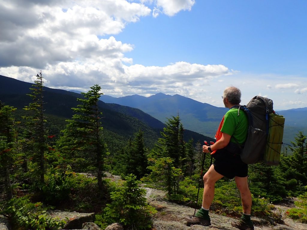
The summer-like weather was perfect for my first experience in the White Mountains. So many people I know who have hiked the AT told me how beautiful the Whites are and how challenging the AT will be there. The crown of the Whites is Mt. Washington (6,288’) which I expect to climb on July 28. Without hesitation, I walked an easy former road for a couple of miles before reasonably easy rock steps became a little more challenging and required some handholds to pull me up. Despite the ideal conditions I felt sluggish, perhaps from not enough sleep in Gorham. I was happy I planned a relatively short day, 8.1 miles, but it included over 3,600 feet of ascent. I had to be extra careful as I climbed toward Mt. Mariah, the 4,049’ Peak that was the high point of the day.
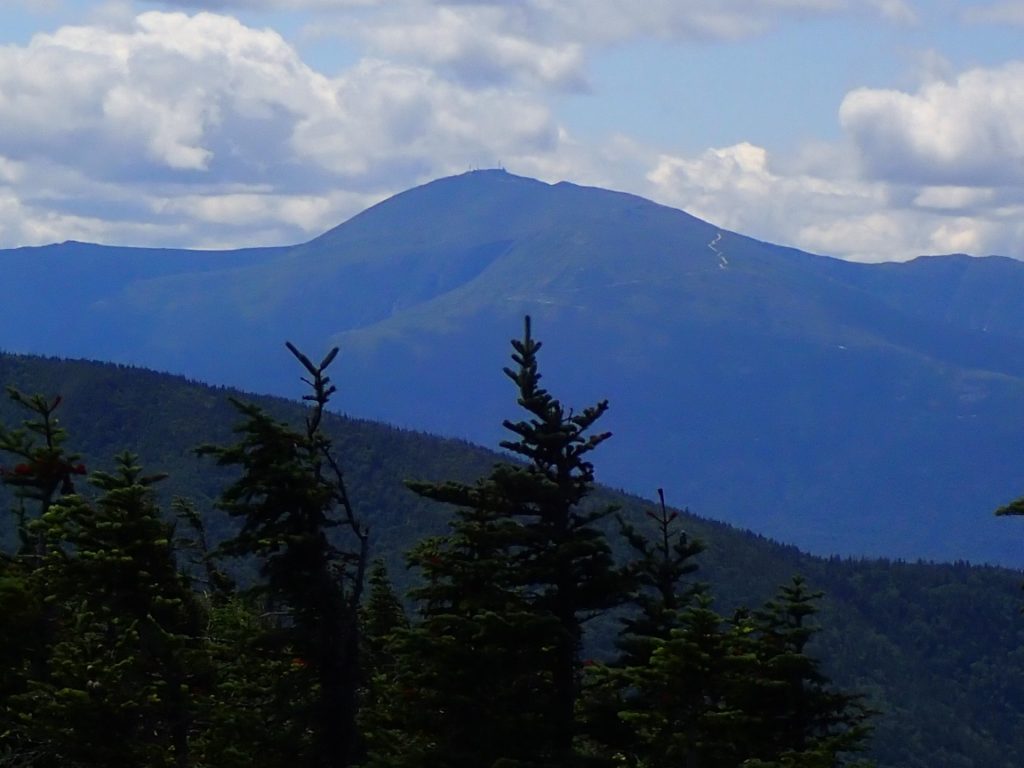
Near Mt. Moriah looking toward Mt. Washington in the White Mountains.
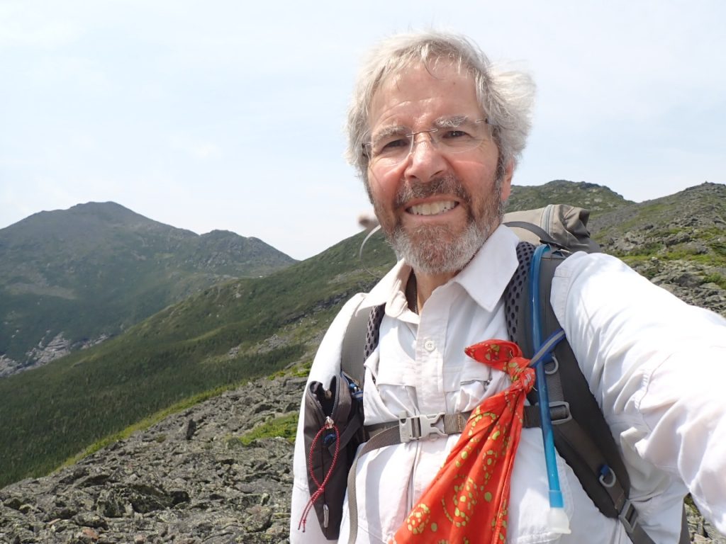
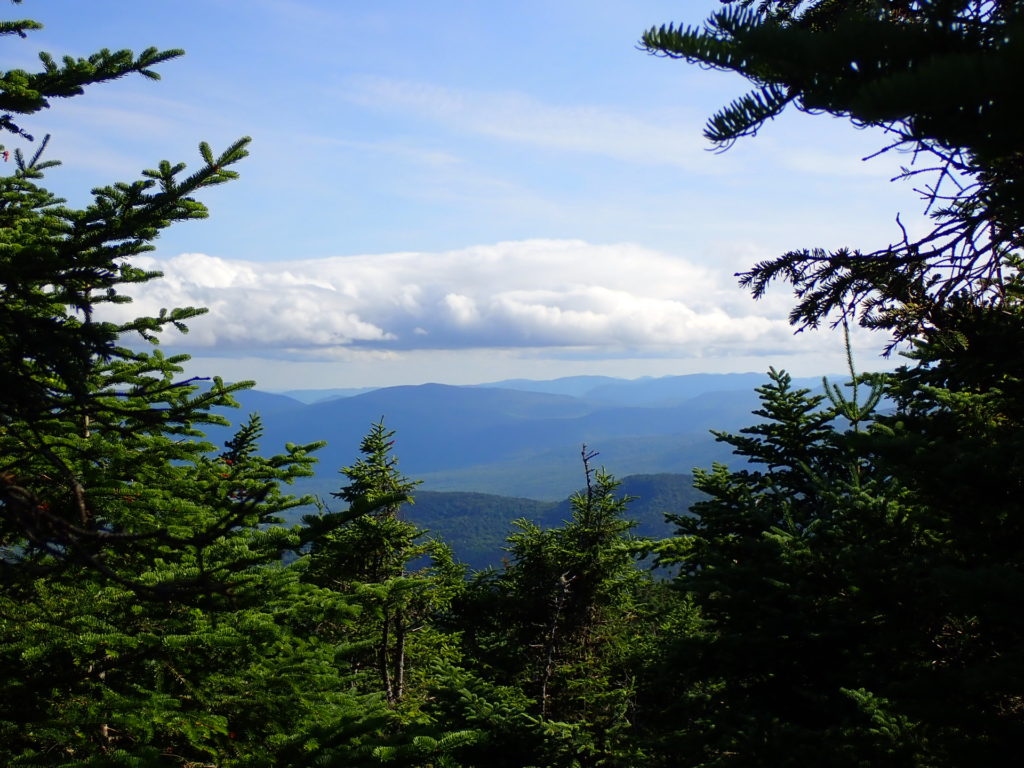
The views from Mt. Moriah included my first clear look at Mt. Washington, which appeals to tourists as much as AT hikers and climbers. Options to reach the summit include automobile, bus and a cog railway, and the AT! The road was visible from my vantage point near the summit of Mt. Moriah.
My first good view of Mt. Washington.A mostly sunny day that felt like summer.
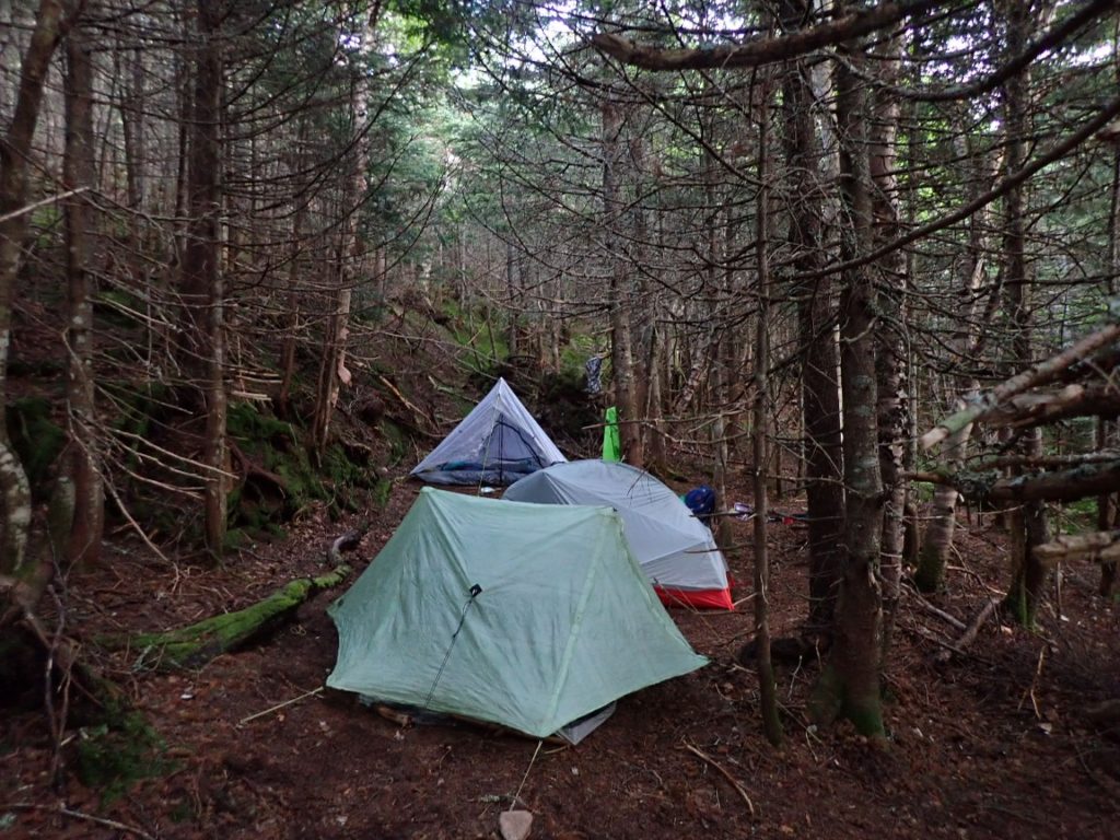
To reach my destination, Imp Campsite I descended about 900 feet in 2 miles and was very careful again. I reached camp at about 3:30 pm, which is quite early for a thru-hiker. But I needed a nap. The Imp camp host brought a couple of hikers to a space adjacent to my tent because there were more hikers than capacity for the campsite. Waken from my nap I got busy preparing my dinner and getting ready to go back to sleep after a tiring day. Just 8 miles but a lot of clumsy walking. Weather forecast for tomorrow is rain in the late morning, so I need to get an early start.
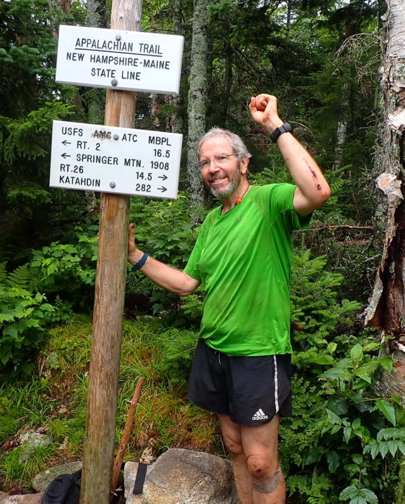
The rigors of hiking through the Mahoosuc Notch and the proud satisfaction of completing the state of Maine gifted me a high level of confidence that I can complete this hike of the AT all the way to Georgia. In Maine I experienced broken gear, lost items, slips, falls, scrapes, scratches, screams and the realization that any step, if not made carefully on the bouldery terrain, could end it in a lonely cry among the trees. There are no guarantees, but I will be one with trail as far as I am fortunate to continue while appreciating the opportunity to thru-hike this National Scenic Trail.
I was the first to leave the shelter at 5:30, motivated to get through the Mahoosuc Notch before the expected rain began to fall. On the 1500′ descent down the Mahoosuc I embraced every step and assumed anything less than intense focus could result in the same dangerous falls and slips I already experienced. Fortunately, rain was not falling but water ran across rocks and down the trail. It was a zen experience as I connected with the ground with every step. Fully aware, I reached the start of the one mile Mahoosuc Notch at 9:00.
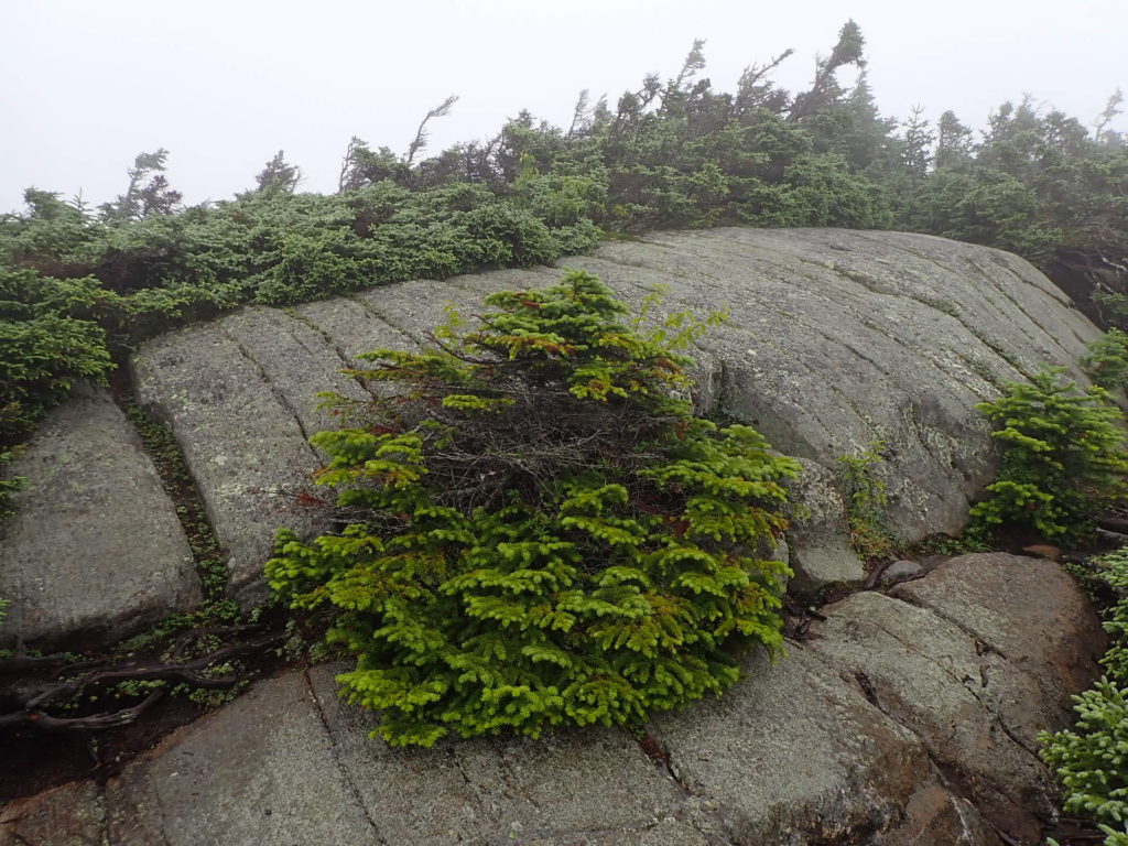
Today was a challenging because of the elevation changes going up and down the Baldpate Mountains and later ascending up to Old Speck Mountain. The anticipation of hiking through the famed Mahoosuc Notch the next day. The weather did not cooperate, though. As I hiked across the Baldpate Mountains the rain made the rocks extremely slick and the clouds removed any opportunities for nice photos from the summits.
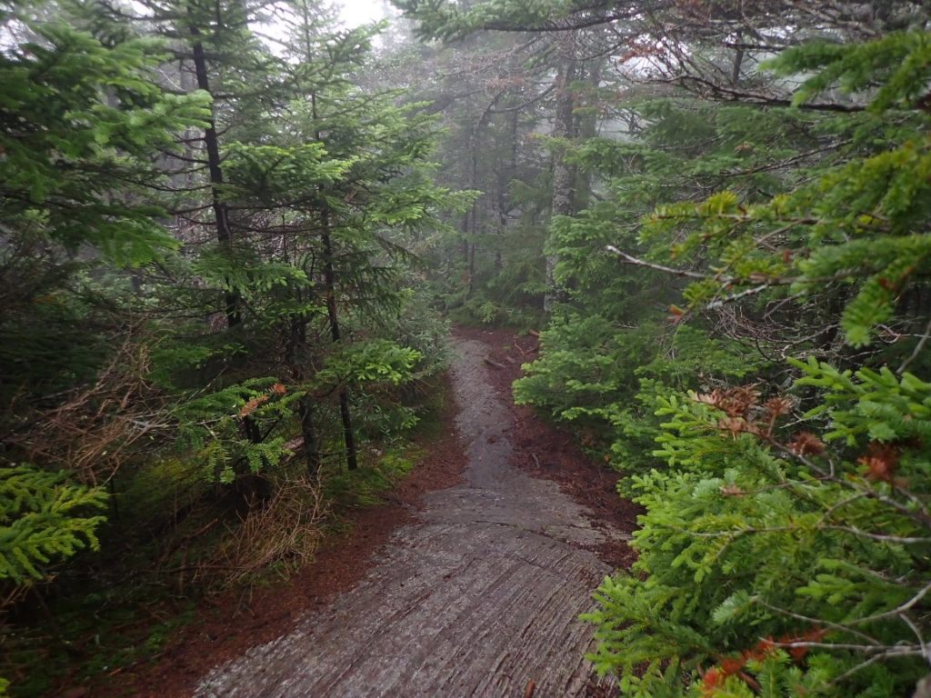
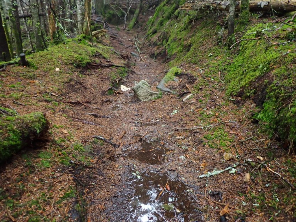
There is little to write about the short, rainy 4.5 miles I took on today. There were wet rocks, wet foliage brushing me even wetter, a few scary descents on more wet rocks, wet mud. Leaving The Cabin Hostel and my friends behind put me in a better position to hike fewer, more enjoyable miles over the next four days as I encounter the famous Mahoosuc Notch and the Mahoosuc Range peaks. I expect Tuesday to be one of the more interesting days on the hike. The wet, rainy day was worth the effort. The wet photos tell the story.
I returned to the trail on July 15 after a very restful zero day in the lovely lake resort town of Rangeley. Regardless, I felt sluggish from the previous days of tough hiking and was relieved the 13.8 miles ahead had much less elevation changes, although tedious as usual for the Maine AT. The most challenging day of this section was the second, July 16. Bemis Mountain and Old Blue were the highlight but did not provide the exceptional views I enjoyed on the Saddlebacks.
One of the nice views from Old Blue after the rain stopped.