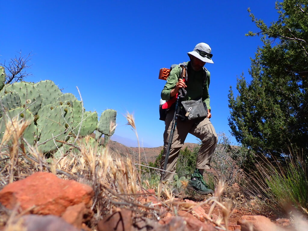
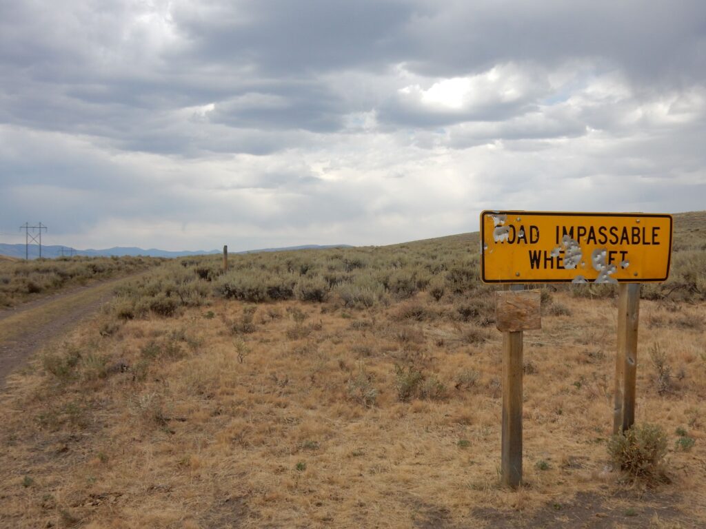
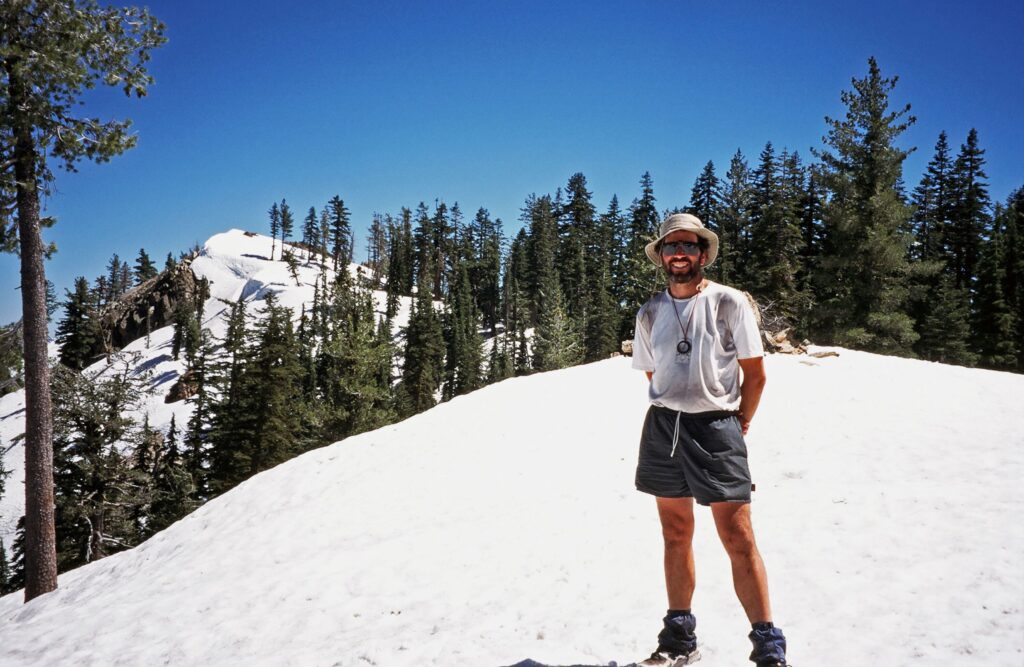
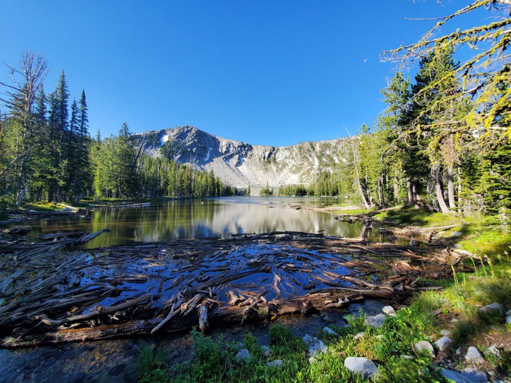
It was mile 332 of the Arizona Trail on April 5 when I stood on top of a large rock and looked down where I needed to take another step downhill. The sun had just risen, and the dawn light was enough to switch off my headlamp. Since leaving my campsite at 4:30 a.m. my feet had already skidded several times on the loose, sandy soil on steep downhill terrain that sometimes had little rollers that attached to the tread of my shoes like marbles. I was inside the Superstition Wilderness at 4,500 feet elevation, where trees were short and scrubby, or just black skeletal remains from the wildfires that burned in recent years. There is little foliage to absorb the infrequent rainfall, thus pushing rocks to resting places on the trail I was hiking on. Every step I had taken that morning was measured and cautious.
After carefully lowering my right foot about 18 inches down from the large rock, the sole of my shoe abruptly skidded forward while my butt landed hard on the ground. Gravity took over, sending my right leg further downhill. My trekking poles did nothing to stop the slide. In that same second, my left foot was still firmly planted on the rock I had stepped off of. Inertia dragged my left ankle abruptly off the rock in an awkward twisting motion. A shot of pain was accompanied by a subtle popping sound as my body came to rest on the gravely surface.
Late afternoon on March 31, a day I will call the “Day of the Rattlesnakes,“ I stopped to study the view and sounds in a valley between. tall, jagged, rocky mountains that formed a theater of brown and desert green. There were birds calling a sound like, “uh-waeh.” One bird would sound, then another. I saw none of them, and their calls carried far within the confines of the mountainous theater. It was, I think, the first perfect moment of the hike.
The recent weather forecast began to give me hope for cooler weather. After two zero days in Summerhaven at cooler77 I high elevation and another day off the trail to have my lacerated thumb treated, I started a four day hike of 64 miles to the small town of Kearny. The elevation through this area, that includes the Tortilla Mountains, was low at below 4,000 feet. I knew heat would be a problem.
The Rincon Mountains and Saguaro National Park, by Roger Carpenter / Greg in Wild
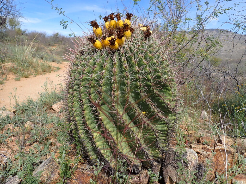
I reached mile 140 of the 800-mile AZT on March 17. There is much beauty in the desert if a hiker knows where to look. Before crossing under Interstate 10, the land where cattle had grazed was devoid of many of the trees and cacti I came here to see. When my friend / AZT hike supporter Alan and I left a campground in Colossal Cave Mountain Park to hike a couple of miles together, we enjoyed the blooms of wildflowers and cactus on an easy-going trail. I continued snapping images after Alan turned back to drive home. These are my favorite places, with no cows!
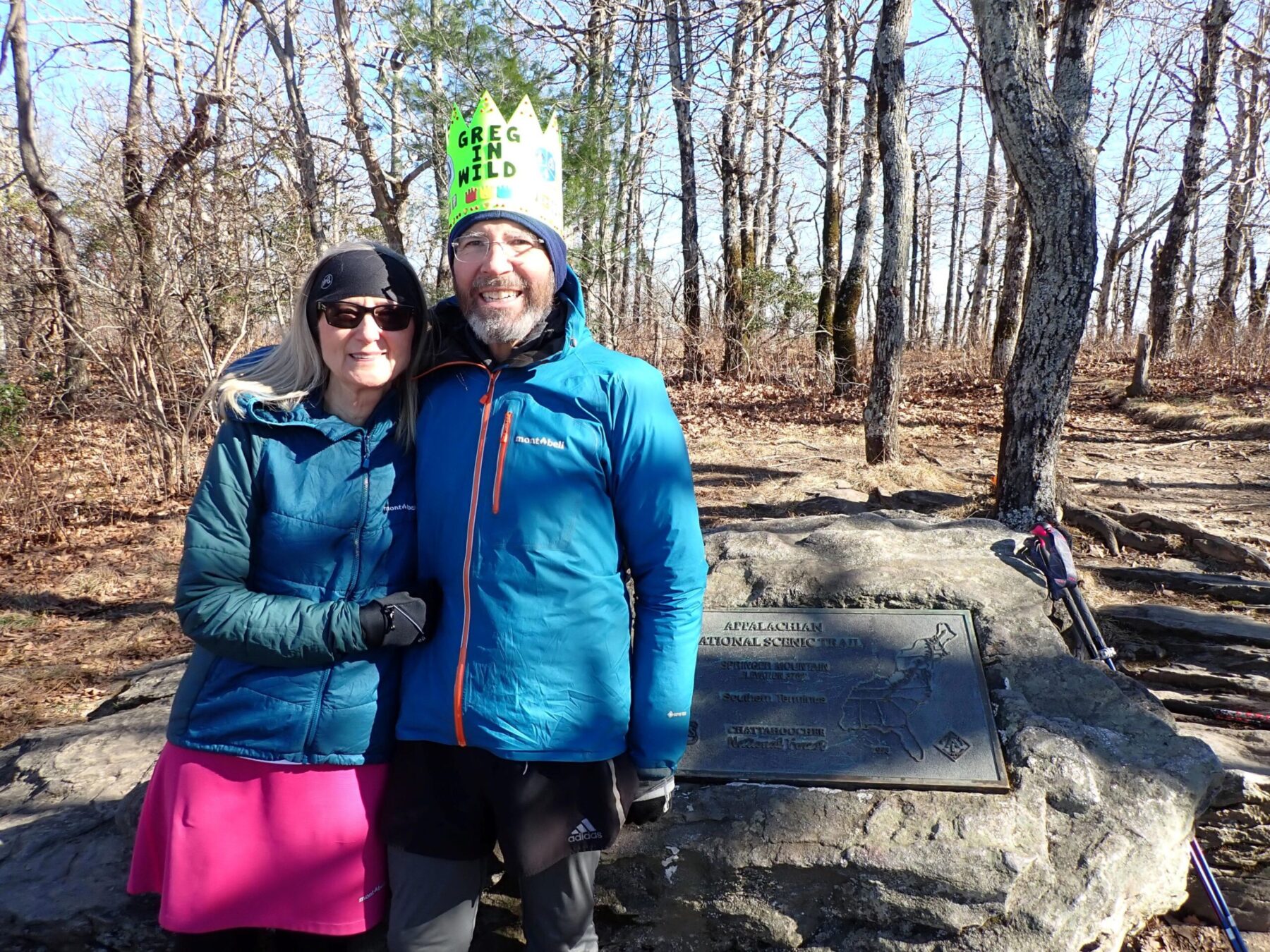
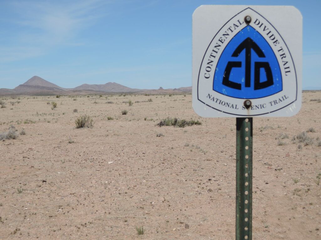
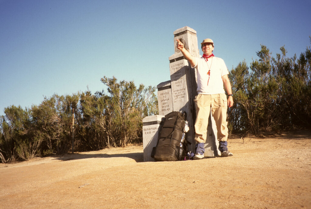
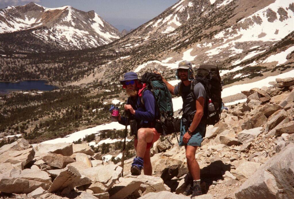
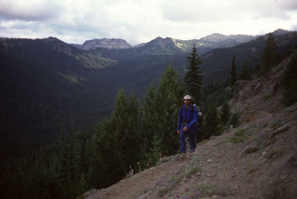
This is Post 3 of 3 about my pursuit of the Triple Crown of Long Distance Hiking and the Appalachian Trail. I started in 1995 with the Pacific Crest Trail, but finished far short that year. I hiked the entire Pacific Crest Trail in 1996 and the Continental Divide Trail in 2016. To read the previous posts look for the link “Triple Crown Hikes” or click here.
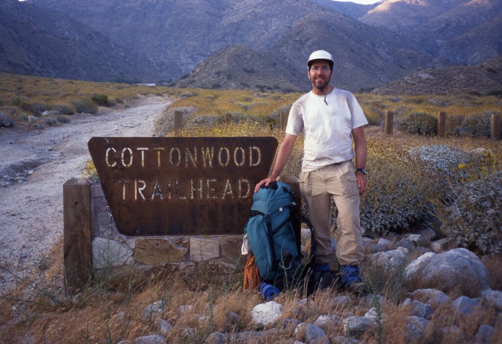
I was nervous about hiking the AT. “Welcome to New England hiking!” my friend Brownie wrote in an email. “Why the nerves?”, I blogged the night before climbing Katahdin. This was not the well-graded PCT I hiked in my 40s, and Brownie knew it. I was 67, and about to walk and sometimes crawl over steep, rocky terrain for 2,169 miles on the AT for the first time.
The five-hour hike up and down Mt. Katahdin was spectacular. In Maine I embraced the lush forests, ponds and lakes, but learned quickly how the steep, rocky terrain can beat up a SOBO hiker. My good friend Marmot had advice when our paths crossed in Maine. “This is the hardest state on the AT; take more zero days here!” I took the advice and ultimately loved hiking the White mountains and the Presidential range in New Hampshire in great weather. Thru-hiking southbound was a good choice for me.
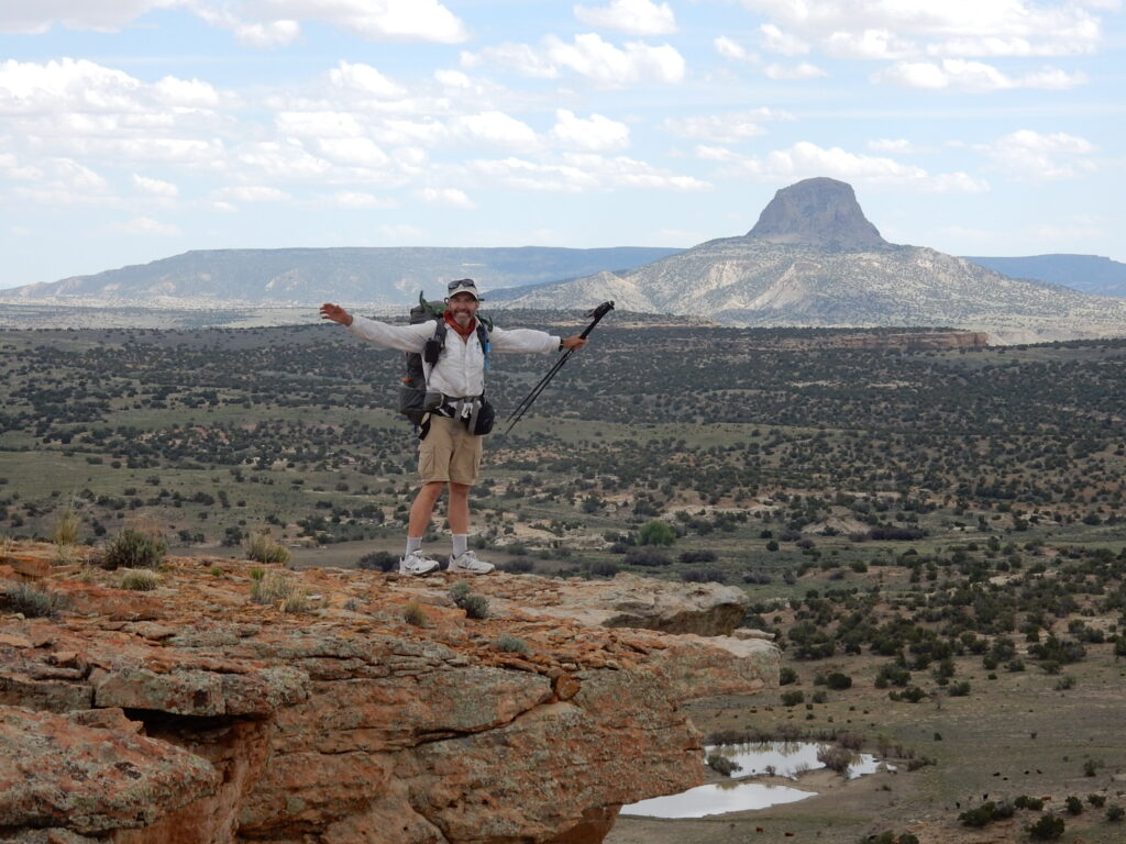
After hiking the PCT in 1996 I waited twenty years before I could begin a thru-hike on the CDT. Family obligations, a mortgage and an interesting but tumultuous career limited my hiking on the long trails to occasional section hikes. Getting laid off from my job of eleven years relieved me of the stresses or a corporate career. After I announced to my Facebook friends I would attempt the CDT in 2016 I received an invitation from Whitney “Allgood” Laruffa to join a group he named the “Portland Mafia,” a collection of our friends who planned to hike the CDT. I knew nothing about hiking in New Mexico, and attending CDT Trail Days in Silver City before starting the hike was an introductory course for hiking the state. The old mining town has a rich history and robust revival as an arts community, and I looking forward to hiking into town soon after embarking from the border with Mexico on April 18.
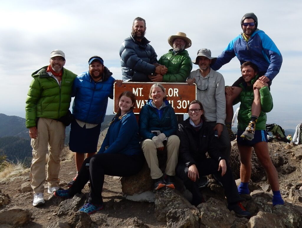
The “Portland Mafia” and friends on Mt. Taylor, New Mexico, May 14, 2016
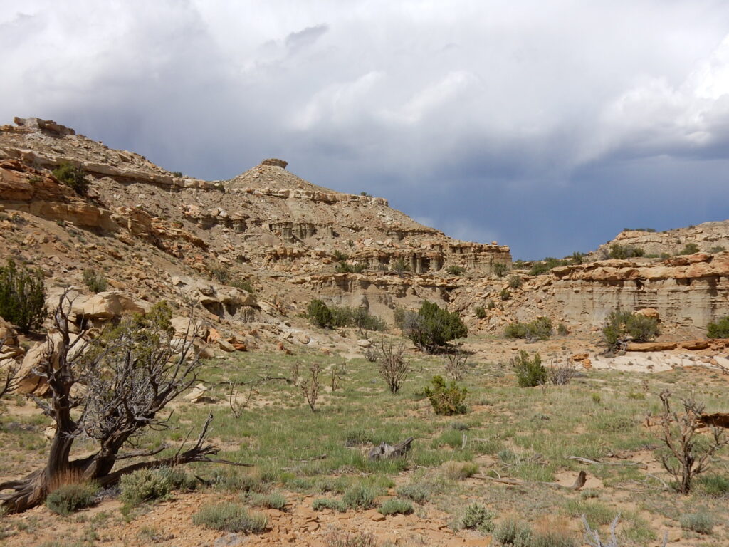
Mesa Portales, New Mexico, May 16, 2016
Mesa Portales, New Mexico, May 16, 2016
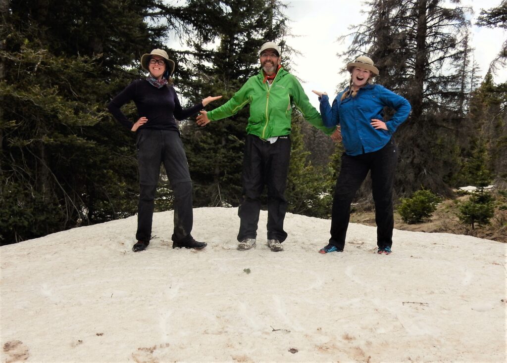
With Moni (Cheezy) and Emma having south of Chama, New Mexico, May 26, 2016
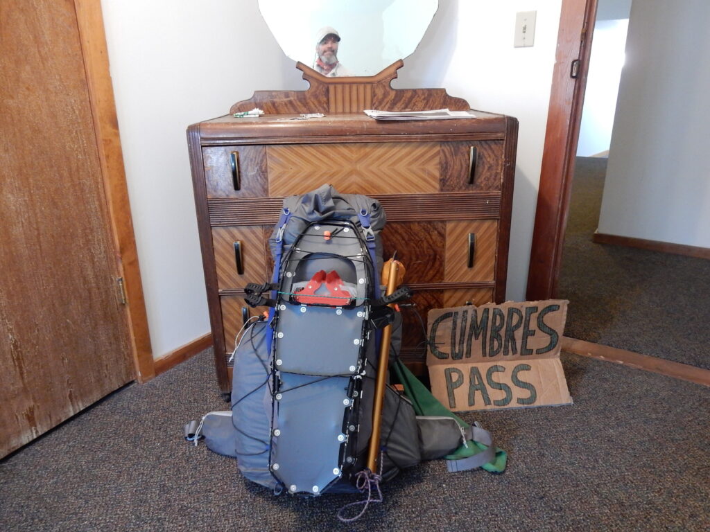
Packed and ready to head into the South San Juan Mountains, June 3, 2016
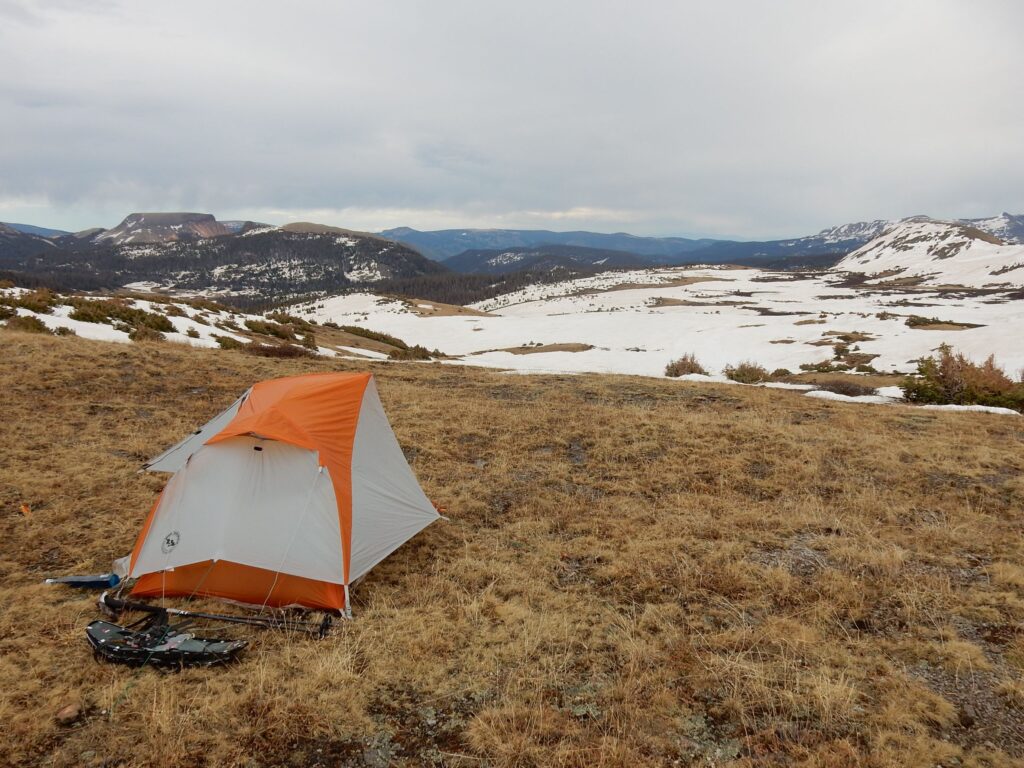
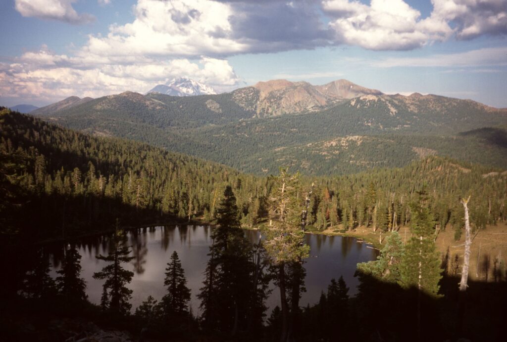
South San Juan Mountains, Colorado
South San Juan Wilderness, June 5, 2016
Traversing in the South San Juan Mountains, Colorado
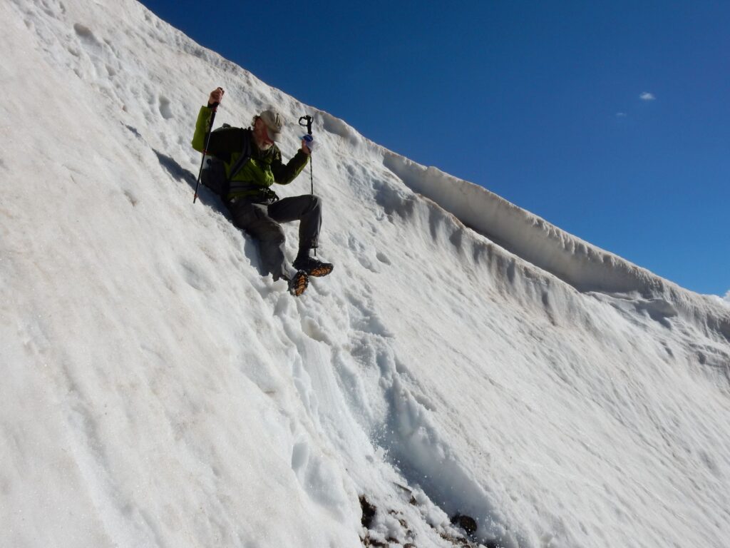
CDT hiker Elusive takes a precision slide at Lake Ann Pass, Colorado
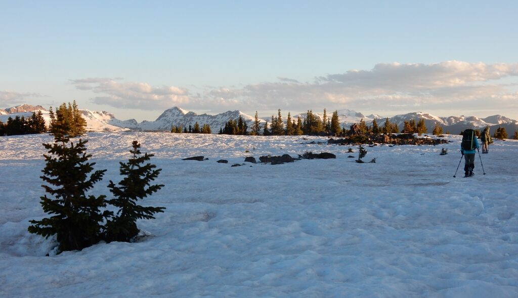
Hope Pass, south of Twin Lakes, Colorado, June 27, 2016
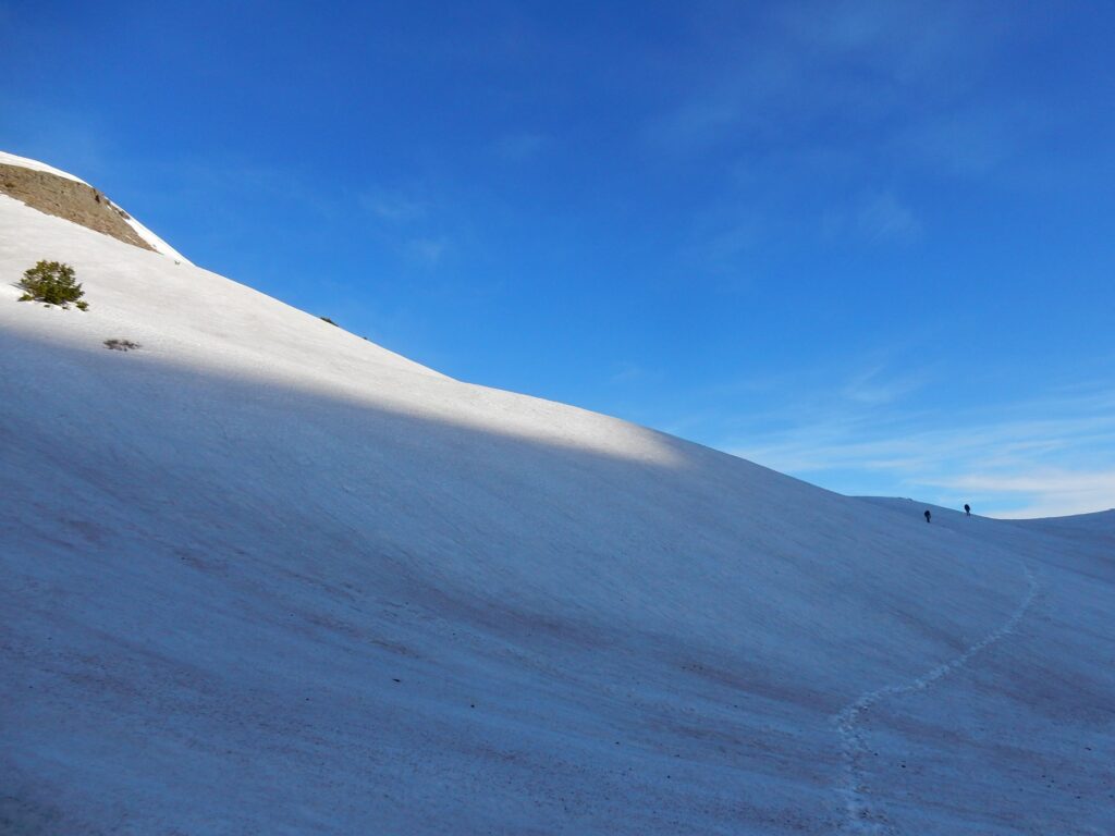
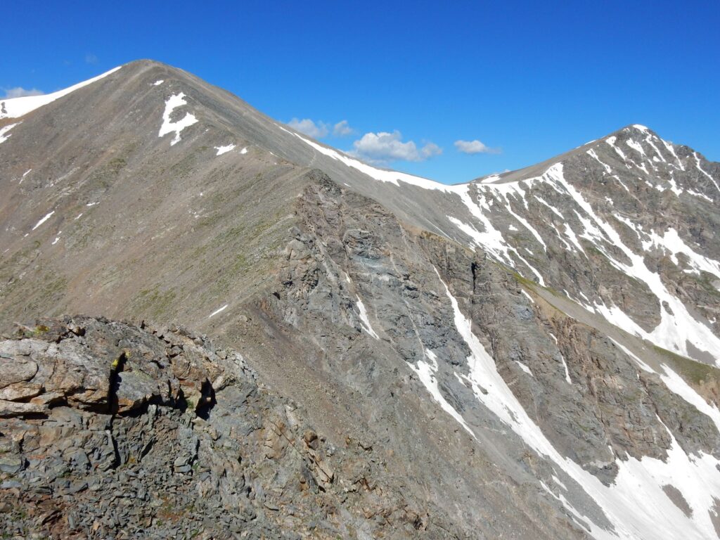
Footprint and Stormrunner near 14,270′ Gray Peak, Colorado on July 6, 2016
Grays Peak (left) is on the official route of the CDT, July 6, 2016.
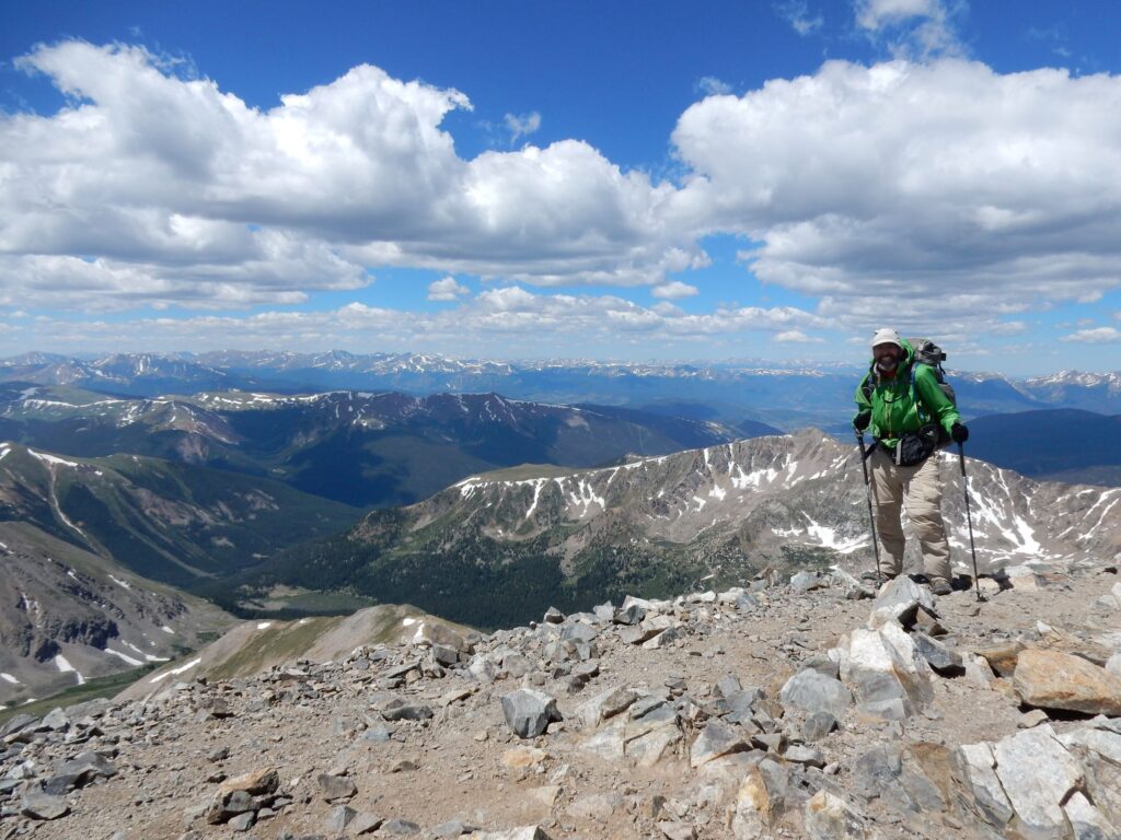
On the summit of Grays Peak (14,270′) on July 6, 2016
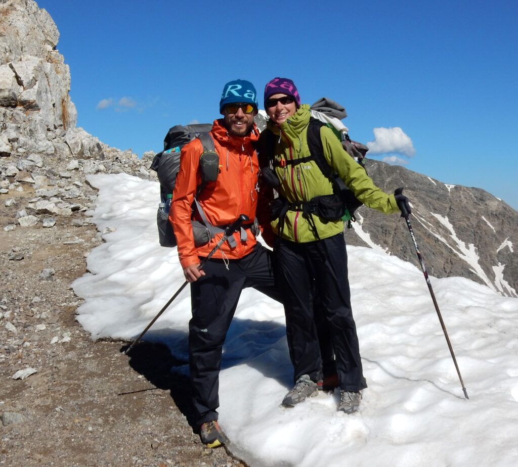
Cindy and I celebrated our wedding anniversary on the CDT next to Herman Lake, Colorado, July 6, 2016
On the Rocky Mountain N.P loop, July 15, 2016
On the summit of Flattop Mountain (12,329′) in Rocky Mountain National Park, the place of my first wilderness hike in 1977.
Elk along the Rocky Mountain N.P. loop, July 15, 2016
View from Sheep Mountain (11,825′) back towards Rocky Mountain N.P., July 19, 2016
Not a great camp, along Hwy 14 south of Steamboat Springs, Colorado, July 19, 2016
Encampment, Wyoming for a short, unplanned stop to rest the injured knee on July 26, 2016
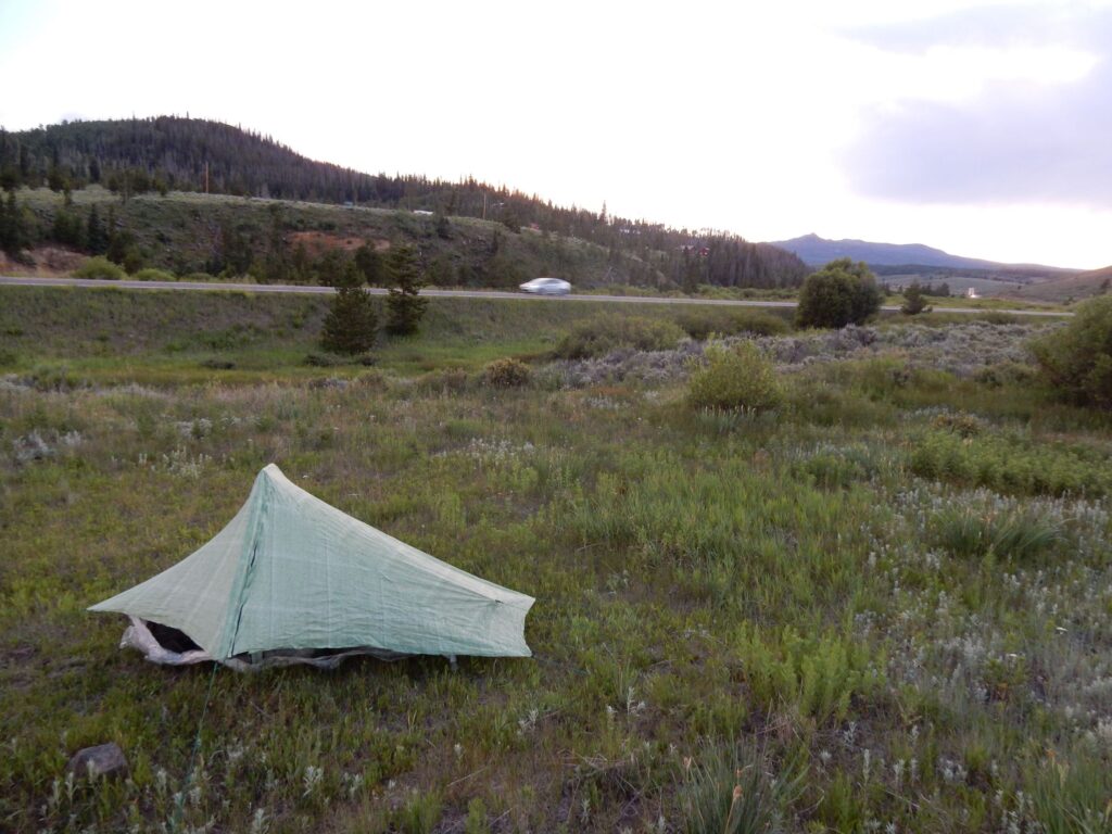
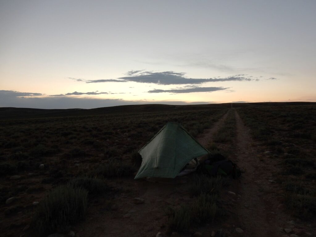
Great Divide Basin, Wyoming
Camping on the jeep track in the Great Divide Basin, Wyoming on July 31, 2016
Wind River Range, Wyoming as the thunderstorm approached, August 11, 2016
Ascending from the Green River area to Gunsight Pass, Wyoming, August 13, 2016
Sheridan Pass, Wyoming, August 14, 2016
Teton Wilderness, Wyoming in the heart of grizzly bear country, August 17, 2016
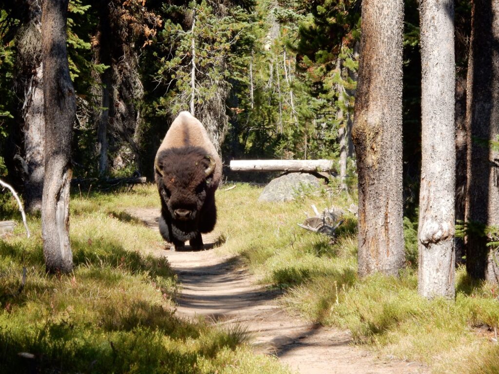
Bison approaching on the trail in Yellowstone National Park, August 22, 2016
Bannack Pass, Montana where the CDT crosses South Medicine Lodge Road on August 31, 2016
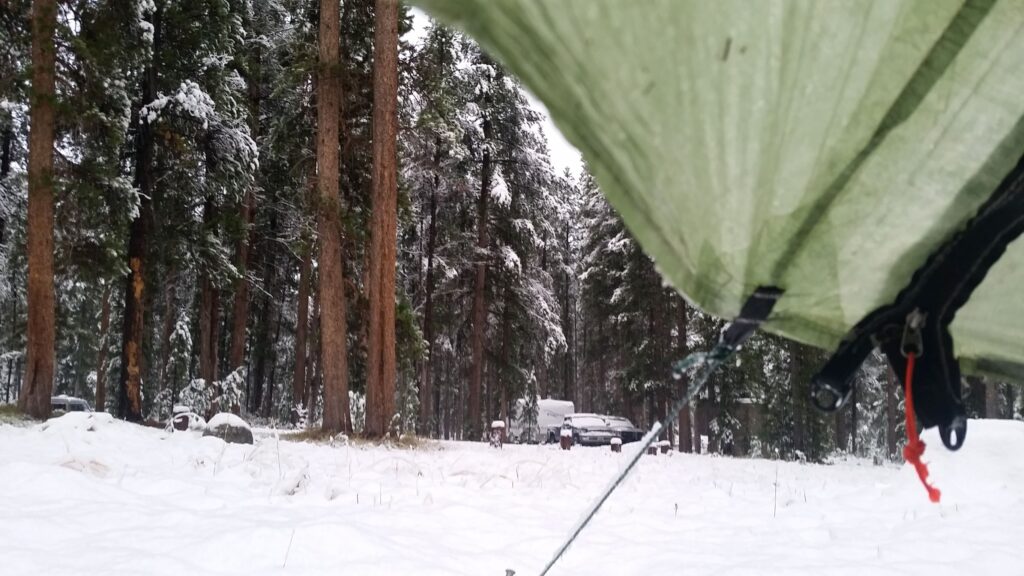
Several inches of snow at the Mono Creek Campground in the Pioneer Mountains, September 5, 2016
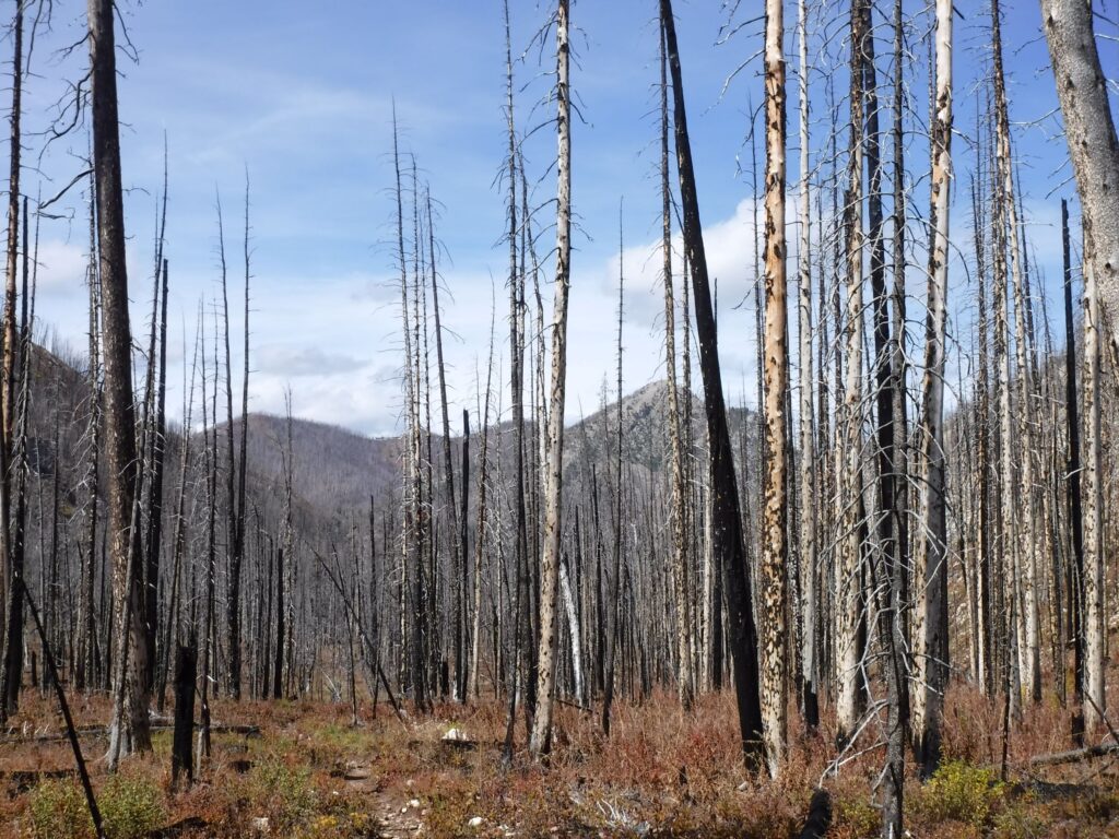
A burned area in Scapegoat Wilderness, Montana, September 19, 2016
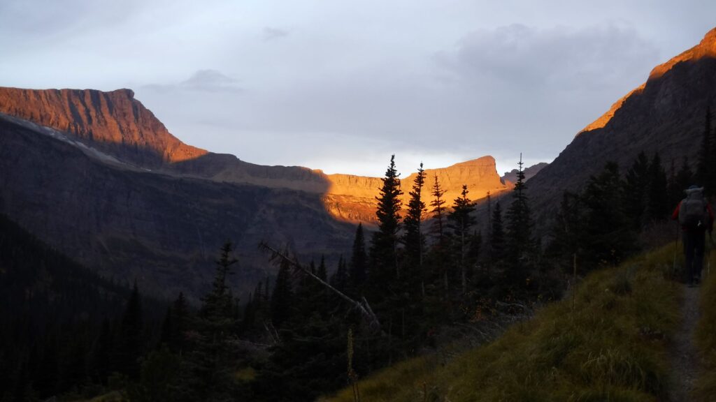
Ascending from East Glacier in Glacier N.P., September 28, 2016
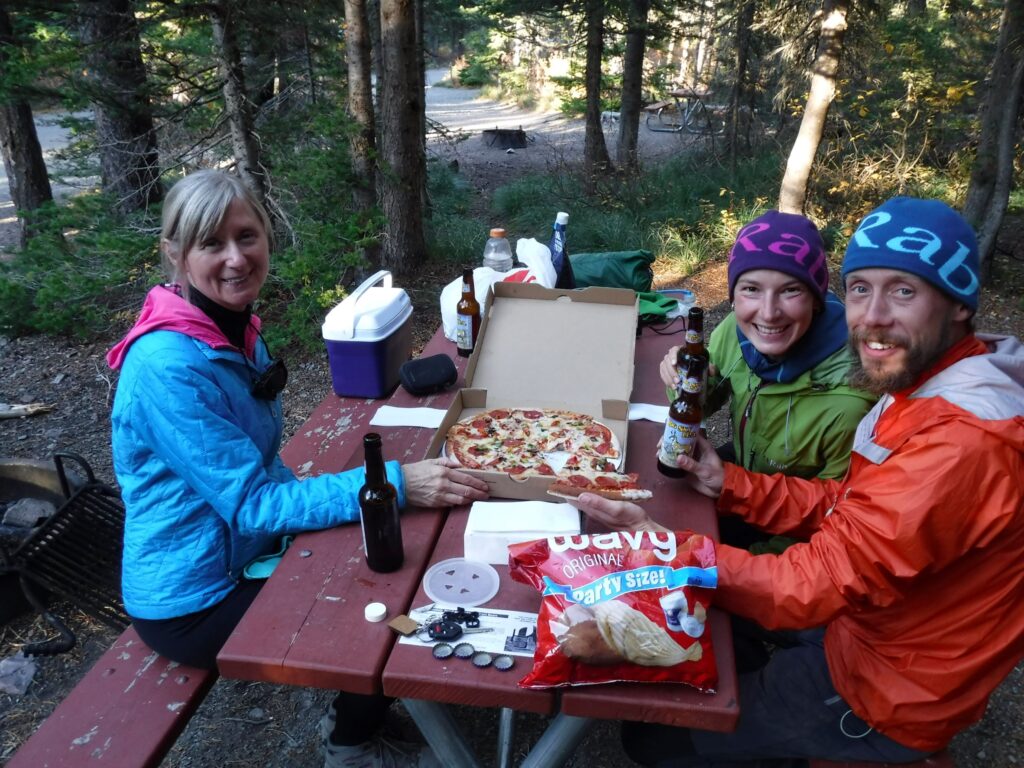
Cindy, Stormrunner and Footprint at the Two Medicine Campground in Glacier N.P., September 28, 2016
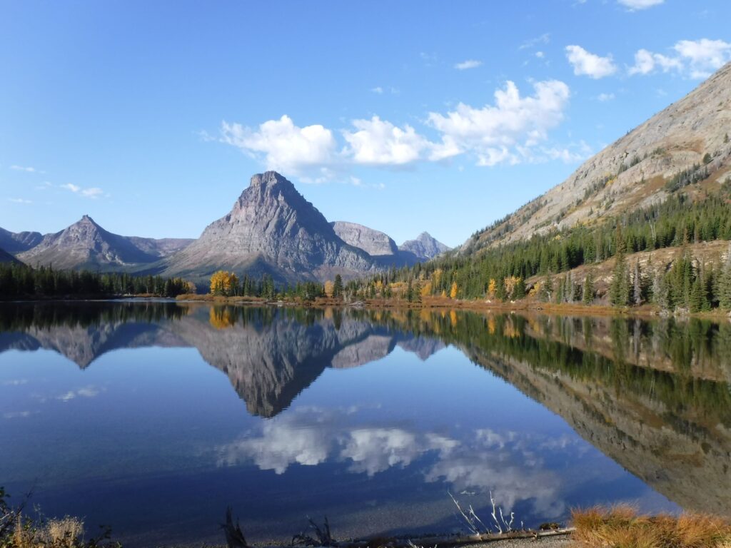
Iconic view of Two Medicine Lake, Glacier N.P., September 29, 2016
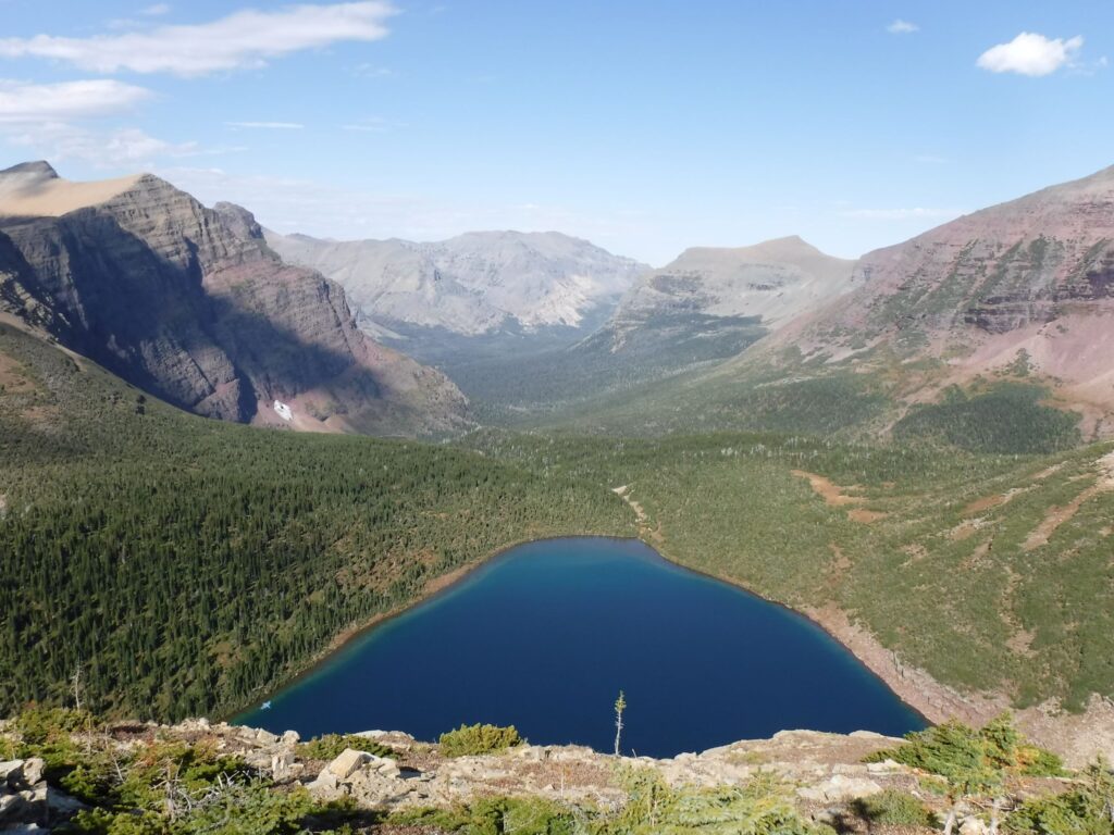
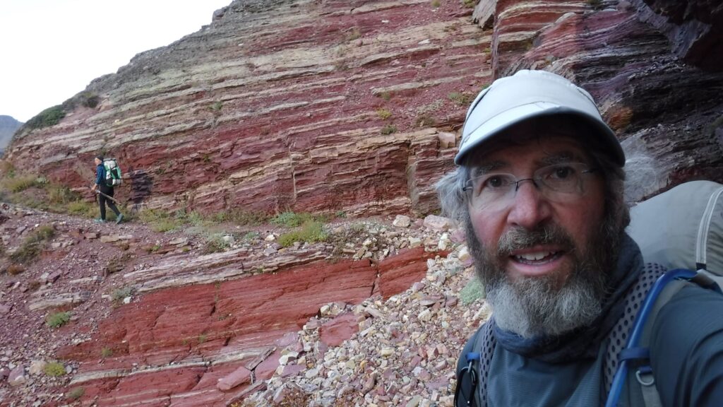
Pitamakan Lake and the Cut Bank Creek valley as viewed from Pitamaken Pass, Glacier N.P., September 29, 2016
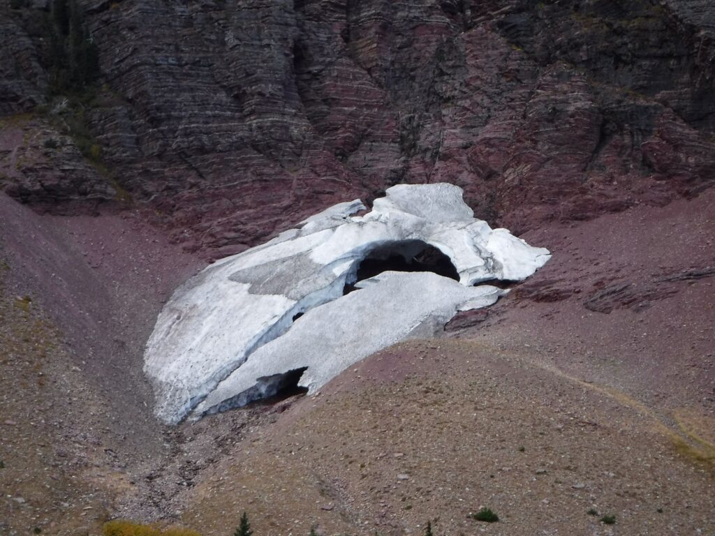
A disappearing glacier above Morning Star Lake, Glacier N.P., September 29, 2016
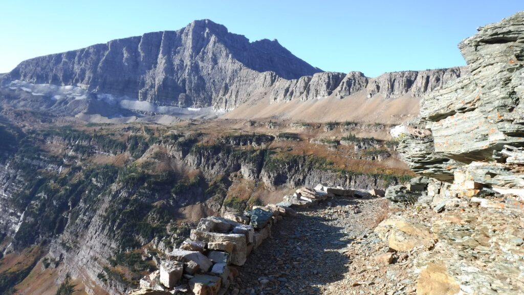
Approaching Triple Divide Pass in the early morning of September 30, 2016
Approaching Triple Divide Pass, Glacier N.P., September 30, 2016
Approaching Triple Divide Pass, Glacier N.P., September 30, 2016
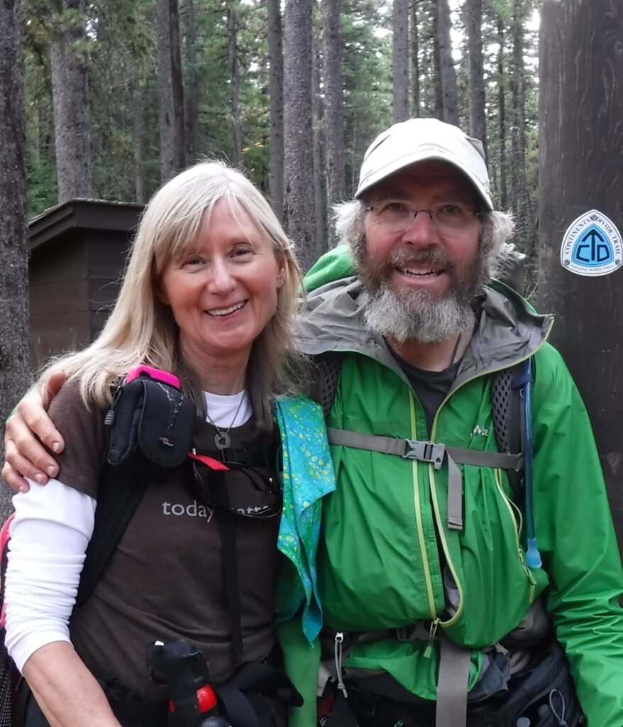
With Cindy just steps from Canada, October 3, 2016
Trouble happened even before I took step one on Day 1. After showering in the motel room in Lordsburg, I screamed fearfully after jamming a toe into the bathroom door. Despite the pain, and convinced that the toe was not fractured, I climbed in the vehicle driven by Tereasa Martinez, the Executive Director of the CDT Coalition, rode the bumpy gravel roads to the Mexican border, and soon took my first-ever steps on a hiking trail in New Mexico on April 18.
This is Post 1 of 3 about my pursuit of the Triple Crown of Long-Distance Hiking. This one is about the Pacific Crest Trail. Look for two more posts soon!
Introduction – 1993, 1994 and 1995
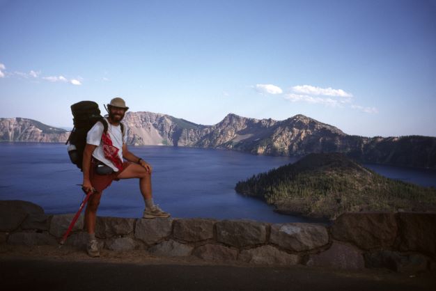
Crater Lake, Oregon on the Pacific Crest Trail, August 10, 1996
A lot changed while I pursued the Triple Crown over a span of 25 years. I aged from 42 to 67 years old and managed to complete three thru-hikes with ever improving gear, technology, and growing numbers of people hiking the trails. On the CDT in 2016, at 62 years old, I crafted my way northbound with strong feelings of optimism to overcome injuries and a slower pace. As one of the older thru-hikers on the AT in 2021 I respected need to “stay in my own lane,” while growing to love and appreciate the unique culture of the trail. But the increasing rate of wildfires, drought and extreme weather events along the trails concerns me more than it did when I hiked the PCT in 1996, a time when awareness of climate change was minimal compared to today.
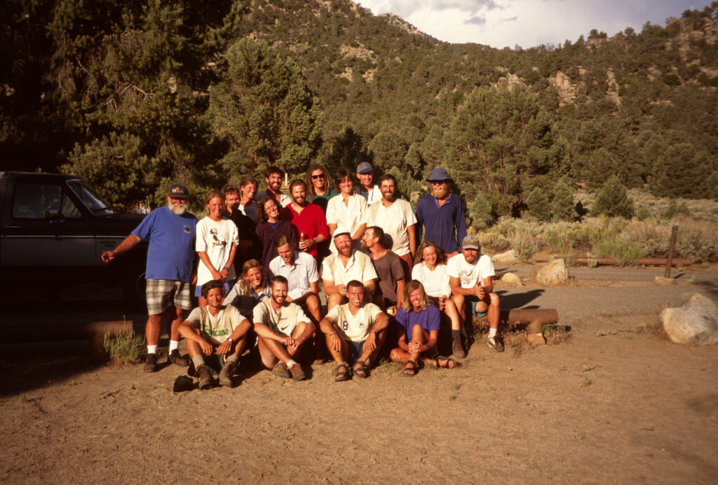
My triple crown journey really started at a central Oregon home I was invited to in the fall of 1993. It was a gathering of people who had enough experience on the long trails to create a sense of awe to this much less experienced hiker. Ray and Jenny Jardine completed the Appalachian Trail earlier that year. I was surprised to hear they recently hiked two other trails: the Pacific Crest Trail (1987) and Continental Divide Trail (1992). Brice Hammack, whom I met while doing PCT trail maintenance earlier that year, completed the PCT and the AT in sections and was nearing completion of the CDT. Scott Williamson was just back from his first thru-hike on the PCT. Lesya Struz and Joris Naiman, whom I also met on trail projects near Portland, Oregon, facilitated my invitation. Inspired by the people I met that weekend, I hoped I could complete a thru-hike someday.
In the late summer of 1994, a gift was handed to me: a layoff notice from my job at a large corporation. After counting severance pay and freelance opportunities for short-term income, the enthusiasm for hiking the PCT in 1995 outweighed the immediate continuation of a corporate career. Within a few weeks of the layoff notice I excitedly traveled to the first official ALDHA-West Gathering in Oregon with knowing the event would kick-start preparations for the thru-hike! At the Gathering, the first five recipients received Triple Crown plaques: Brice Hammack, Alice Gmuer, Ray Jardine, Jenny Jardine, and Steve Queen. My first steps to the Triple Crown would start on the PCT at Campo, California on May 11, 1995.
In the winter of 1995 I was aware of the extremely high snowpack in the Sierra Nevada . On May 24, while approaching Idyllwild, the deep, icy snow on the steep approach to San Jacinto Mountain was just a preview. One month later I met a young section-hiker and aspiring author, Cheryl Strayed, who later traveled with me to Sierra City to skip the high snowpack in the Sierra for what we hoped was much less snow. This is called a flip-flop, and it would require a return to California to hike the areas I skipped. I would have preferred a continuous footpath without the flip-flop, but I decided to go Sierra City with Cheryl. On July 4 I hiked ahead of Cheryl, but we encountered the lingering snow on the Sierra Buttes. The conditions convinced me to leave the trail for three weeks and return to the southern Sierra where Cheryl and I exited the PCT at Trail Pass. Cheryl kept hiking northbound to the Bridge of the Gods on the Columbia River in Oregon not knowing where I had gone. Read more in a story I wrote for the Pacific Crest Trail Association.
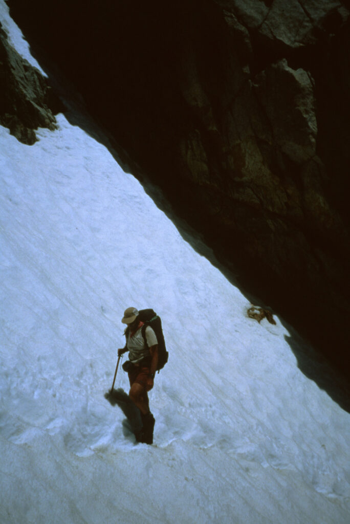
I returned to the PCT on July 25 at Trail Pass. With some nervousness but great satisfaction I steadily hiked over snow-packed Forester Pass (13,200 feet). But the next day at Glen Pass I glared north at the solid snow as far as I could see, peak to peak. I was discouraged and nervous at the sight of continuous snow ahead, and I was alone at 12,000 feet above sea level! After descending the snowy north side of the pass at sat down near Rae Lakes while paying attention to the pesky Marmot trying to eat my part of my lunch. I knew I had to decide, and in that moment, I could not know how life-changing my choice might be. The risks of pushing northbound, alone, in such conditions were significant. Questions and thoughts ran through my mind as swift as the meltwater in the nearby creeks. The solitude in the snow-packed Sierra was intense, not what I expected or desired. “Where are they?” I asked silently. Obviously, they flip-flopped and were far north of where I sat. Most importantly, I assumed the snowfields ahead would slow me down. Logic overtook anxiety as I wondered, “with just a little more than two months until October, could I really finish a thru-hike to Canada? Doing some math, I would need to push every day at a pace of 31 miles per day to reach Canada before serious snowfall could put an end to it. Would bad weather block my progress to the border? Could I re-start a thru-hike in 1996?” The next question was the key. “Could I lighten my gear and streamline my approach next year and hike the PCT well?” Yes, I concluded. It justified what I would do. The next morning, I hiked back over Glen Pass and eventually caught a Greyhound to start my journey home…and eventually to the 1995 ALDHA-West Gathering two months later.
Entering the San Bernardino Mountains, southern California, May 1995
Near Mt. Baden-Powell, San Gabriel Mountains, California, June 1995
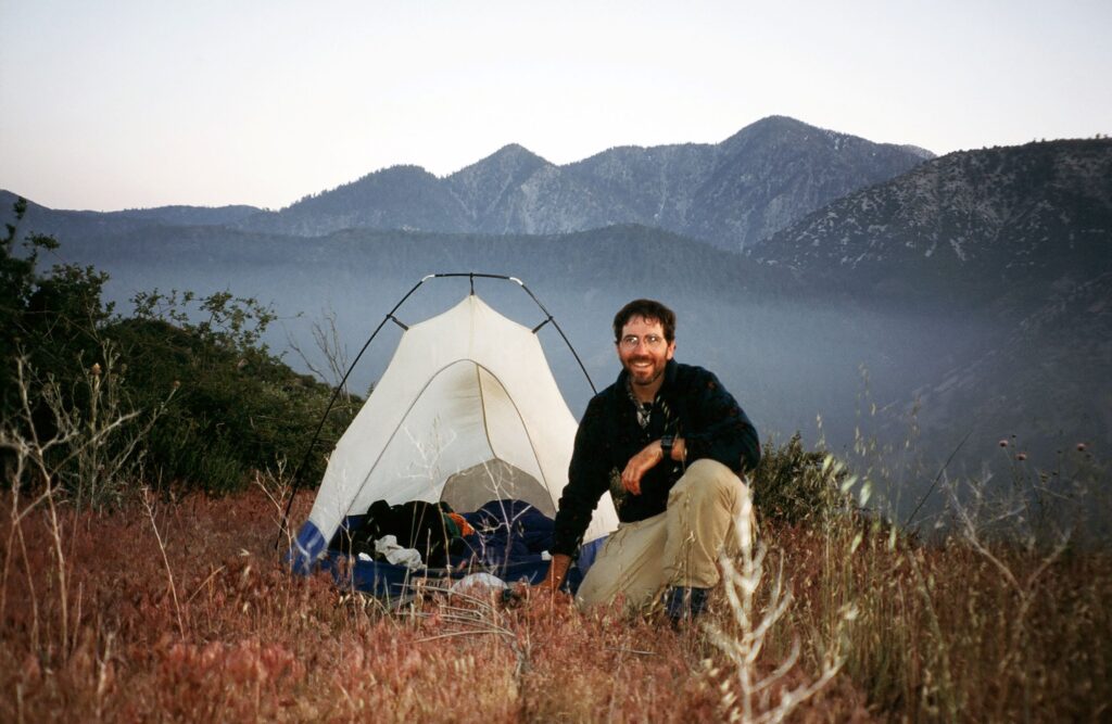
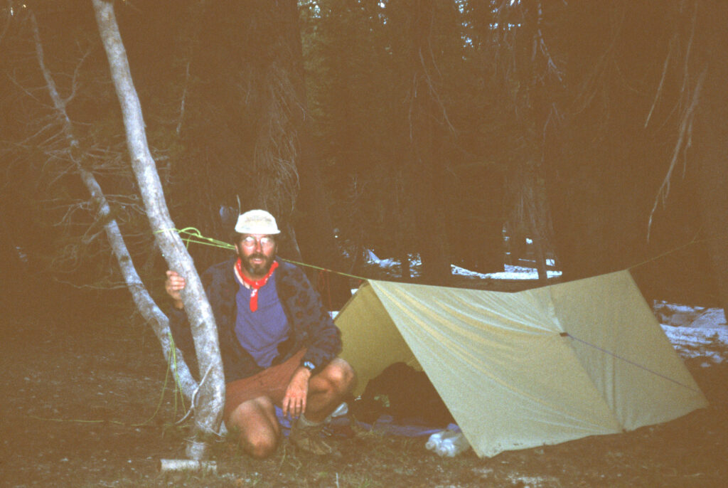
My heavy Sierra Designs Clip Flashlight tent, June 1995
Near Tehachapi Pass, southern California, June 1995
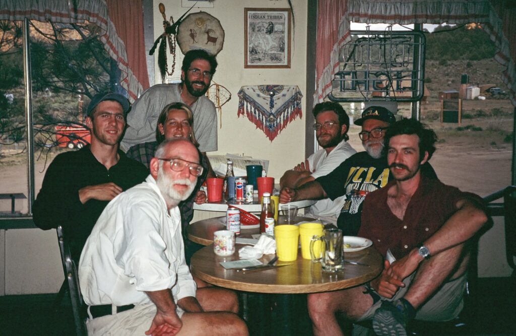
At Grumpy Bear Cafe, Kennedy Meadows: Doug Wiser, Charlie Thorpe, Cheryl Strayed, Roger Carpenter, Pete, Meadow Ed, Tony Thorpe.
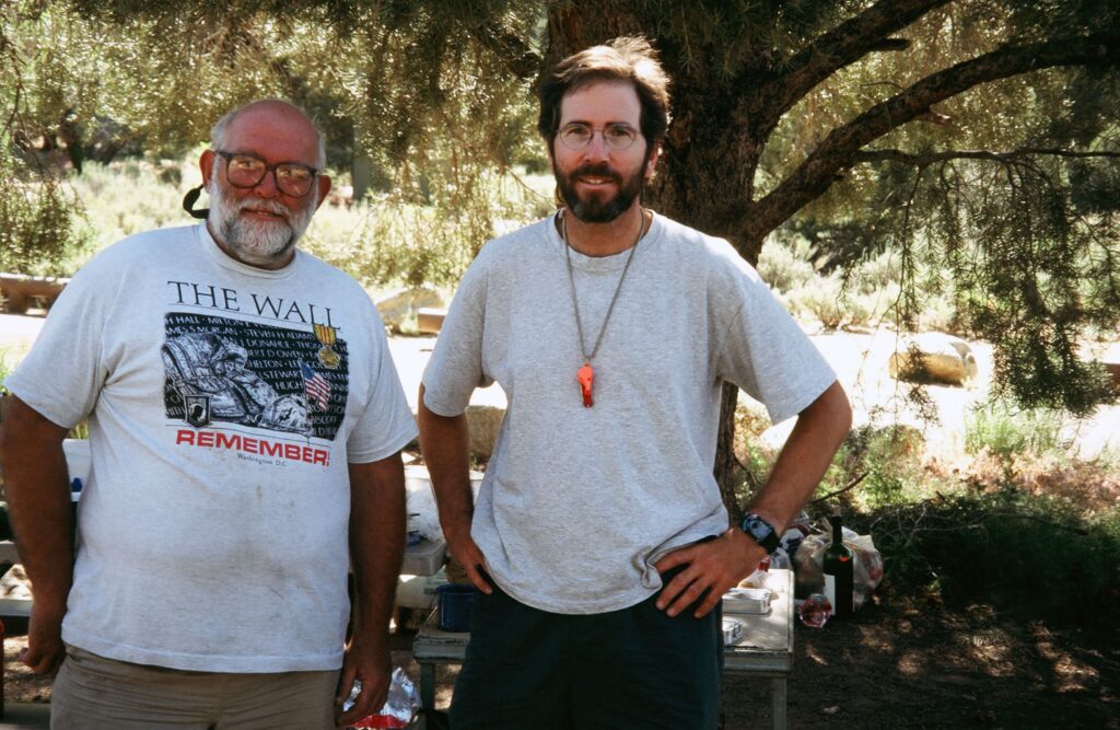
Meadow Ed Faubert, Roger Carpenter at Kennedy Meadows, June 1995
Roger Carpenter in the Sierra Buttes, July 4, 1995
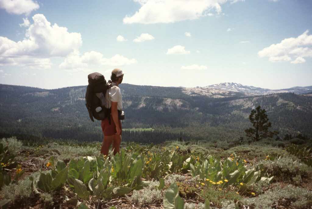
Pacific Crest Trail – 1996 The aborted 1995 hike was not a failure. I was determined to go ultralight on the trail in 1996. At the 1995 Gathering one I learned about a frameless, two-pound backpack made by Wild Things. I bought one, and I chose a tarp for shelter rather than a heavier tent. With a re-engineered approach to gear, hiking 30 miles per day was possible and even likely. Confident and evolved, I hiked out of Campo on May 8 with a long stride and gleaming eyes to the north. Having hiked 800 miles the previous year helped a lot, too. The difference was obvious on Day 1. In 1995 I camped at Hauser Creek. In 1996 I ate lunch at Hauser Creek! Apparently, most of the 150 thru-hikers started before me. It was not until Day 10 in Idyllwild when I met another PCT hiker.
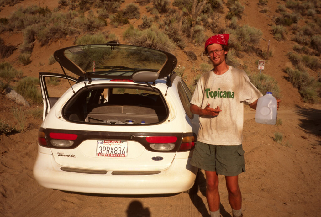
On May 26, the second day after I departed Big Bear, a small wildfire burned on a nearby ridge that required a few miles of walking a road. I was happy with my 24 mile per day pace as I hiked into Mojave on June 6. I knew safe, drinkable water would be an issue in the hot, dry desert north of Mojave after a bad experience in 1995 scooping cow piss smelling water from a nearly dry creek bed. Using a rental car I drove to several locations and hid many one-gallon jugs of water for me and the thru-hikers I had met five days earlier. After leaving water near Butterbrendt Canyon Road, thru-hiker Ryan Christianson appeared trudging in the dust, looking surprised and very thirsty. After introductions and hearing Ryan’s bad luck story of his search for water, I said, “nice to meet you, Ryan! Hey, there is plenty of water in the car, and how about some fresh fruit?” This is one of my best memories of the PCT.
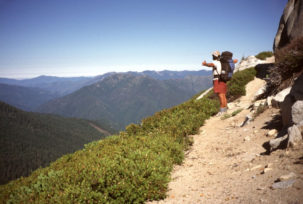
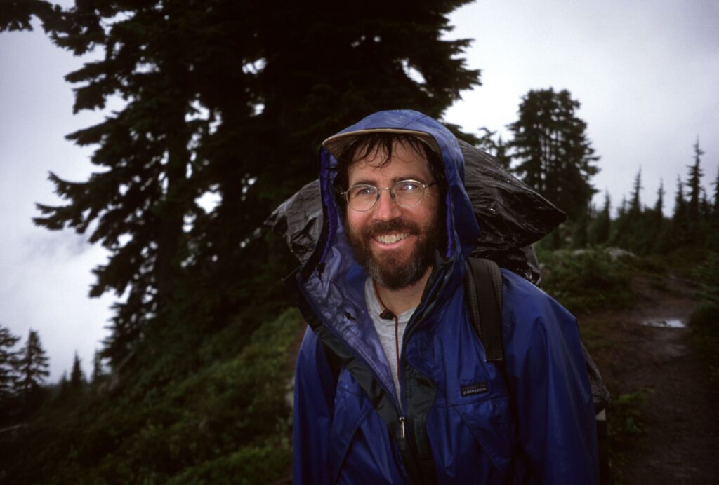
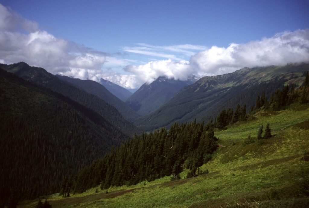
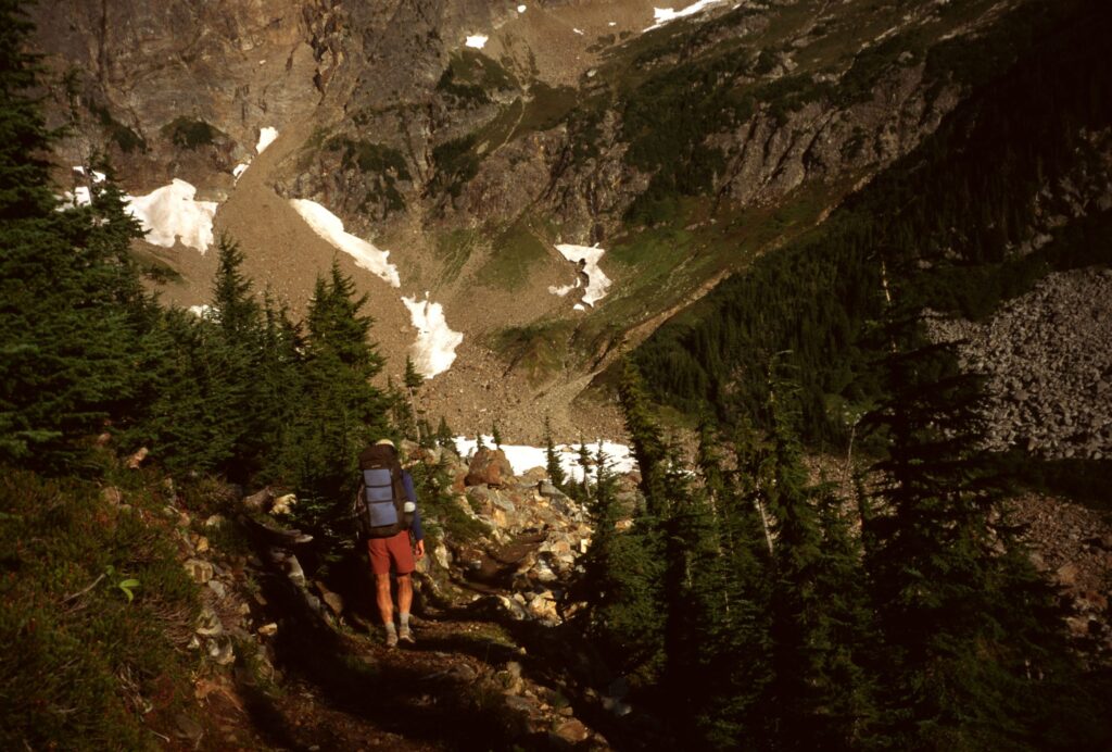
The camaraderie that was missing one year earlier was at the forefront of my experience in the high desert and continued at Kennedy Meadow and into the Sierra. Meadow Ed, whom I first met in 1995, hosted the PCT hiker campsite again. In the years after 1996 Meadow Ed continued to be one of the most known trail angels in the PCT community of hikers and received the Trail Angel of the Year Award from ALDHA-West. I departed Kennedy Meadows on June 15 with about 20 other thru-hikers. The weather in 1996 was seasonably average. The valleys were snow-free, the passes were pleasantly snowy for some fun challenges. I hiked the Sierra with two thru-hikers much younger than me: White Root (who later earned a Triple Crown) and Sparrow. With experience gained the year before, I guided us up Forester Pass. It is worth noting that no GPS devices or smartphones were available that year. In the Sierra I used a map and compass when needed. Aided by sunny weather we hiked over one pass each day. It snowed only once, but thankfully it while I was nicely bunked at Vermillion Valley Resort, where I met even more PCT hikers on June 25! The weather continued to be wonderful, and the forests continued to be free of wildfires until I reached Crater Lake, Oregon. A small fire was burning to the west of the PCT, close enough to see flames. However, that fire did not turn out to be very large. Hiking with Sparrow in Oregon I averaged 28.7 miles per day. In Washington I passed into a zone of solitude, with most of the other thru-hikers now behind me. With two rounds of tendonitis, I moved north with determination and grew to love the solo aspect of the journey. One of my best memories was hiking into Goat Rocks Wilderness, across the Packwood Glacier and over the “knife edge” with ravens soaring overhead, limping with tendonitis to a tiny campsite as darkness fell with snowmelt from Old Snowy Mountain as my source of water. Rain and a little snow fell as I headed into the wilderness north of Snoqualmie Pass on September 5. Ten days and 260 miles later, on September 15, with rain and snow giving way to timely sunshine, I reached Monument 78 at the U.S.-Canada border blissfully alone.
The start of the PCT and the Triple Crown, Campo, California, May 8, 1996
Cowboy camping on the PCT, southern California.
Ryan Christianson gets water!
PCT thru-hikers at Kennedy Meadows, June 14, 1996
Greg in Wild ascending to Forester Pass, June 18, 1996
Unconventional tarp setup, Sierra Nevada, California
Northern California
White Root and Sparrow, Sierra Nevada, California
Castle Crags Wilderness, northern California
Marble Mountain Wilderness, northern California, August 1, 1996
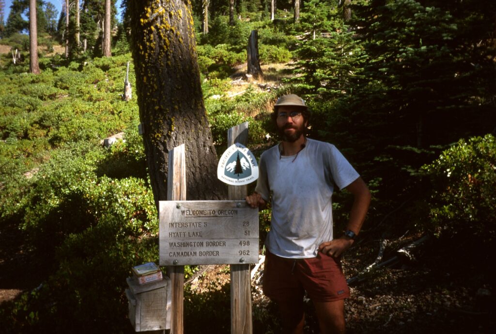
California / Oregon border, August 4, 1996
Southern Oregon
Small wildfire in Crater Lake N.P., August 10, 1996
Southern Oregon
Southern Oregon
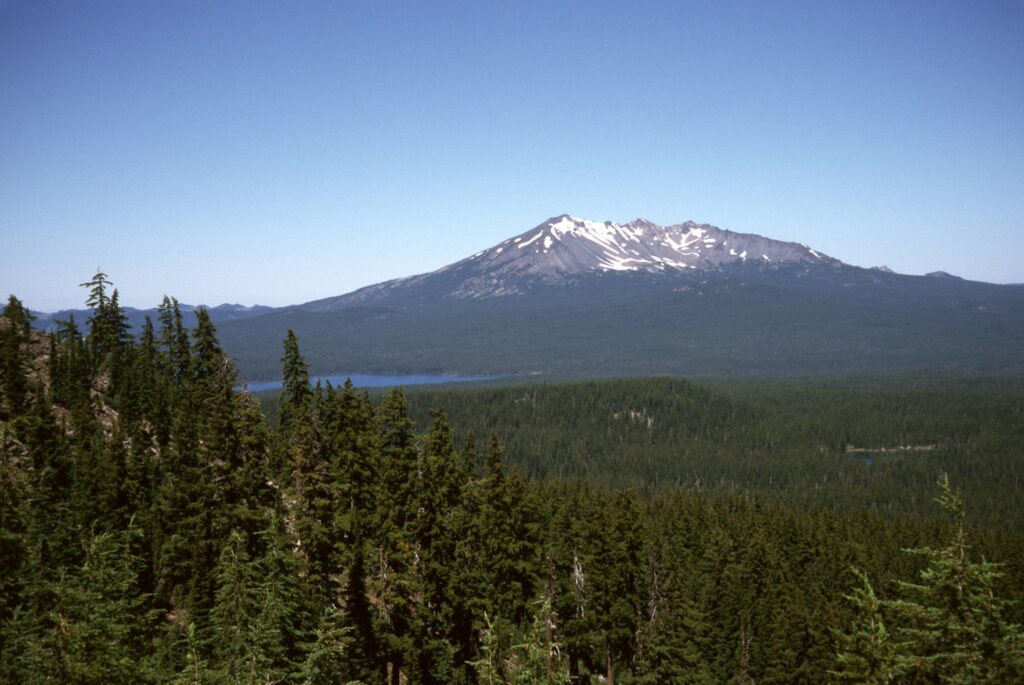
Diamond Peak, August 12, 1996
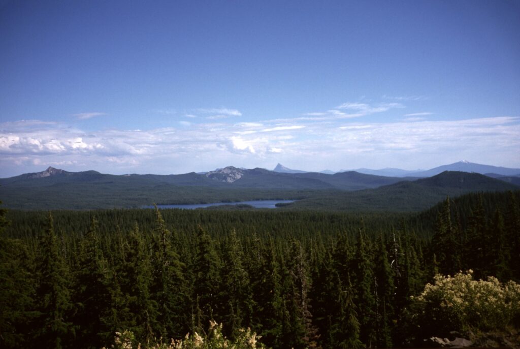
Central Oregon Cascades, August 14, 1996
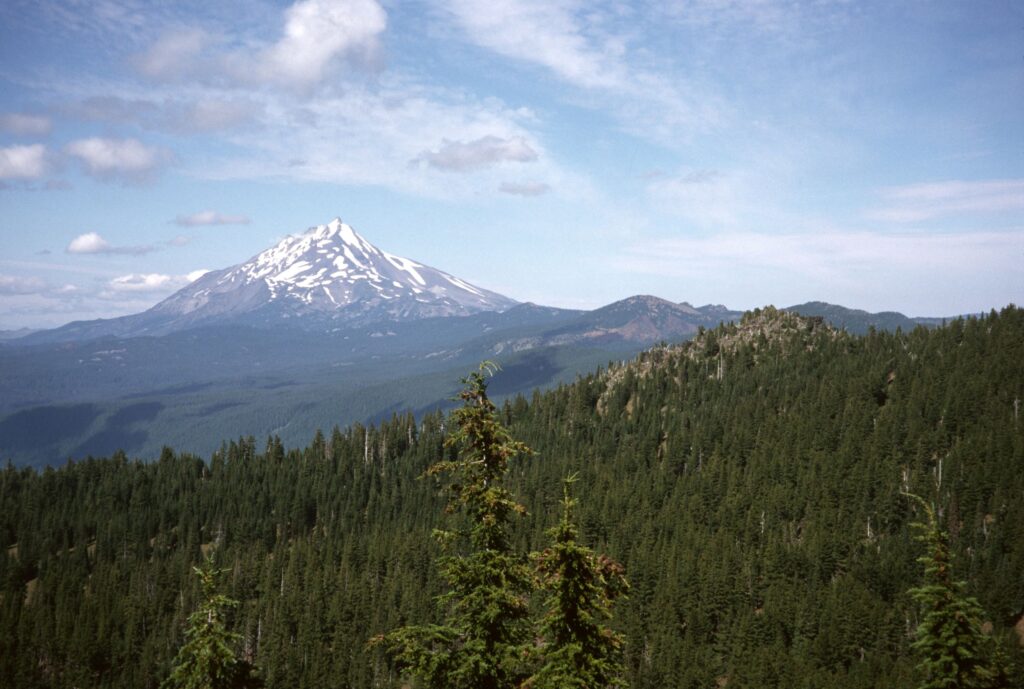
Three Sisters Wilderness, Oregon, August 16, 1996
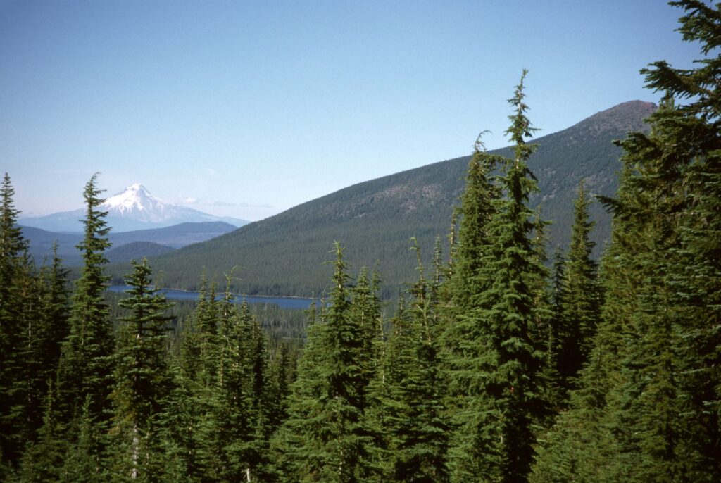
Mt. Hood, Olallie Lake, Oregon
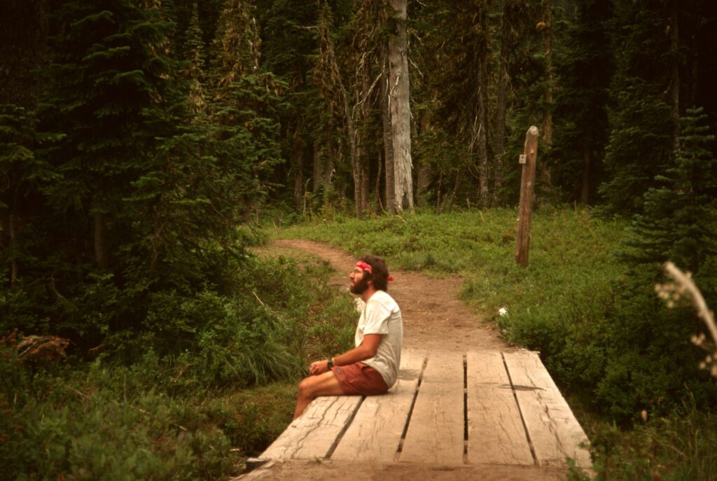
Fatigued in Indian Heaven Wilderness
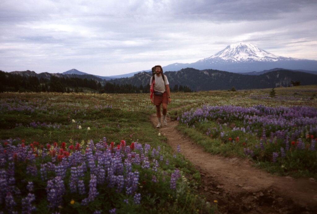
Snowgrass Flat in Goat Rocks Wilderness with Mt. Adams, Washington
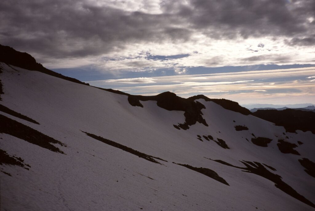
Footprints in the Packwood Glacier, August 28, 1996. Battling tendonitus I hiked across the snowfield and the Goat Rocks “knife edge” before dark.
Norse Peak Wilderness, Washington
Rain not dampening my spirits, northern Washington.
Northern Washington, Glacier Peak Wilderness.
Descending one of the passes in northern Washington.
Cutthroat Pass, northern Washington
In a tiny Eureka Gossamer tent on the last campsite, September 14, 1996
Approaching Monument 78 at the Canadian Border, September 15, 1996
NOTE: My previous blog post was sent out incomplete. Read the full post here: https://elkpass.com/2022/07/30/cdt-montana-idaho-days-14-15-july-22-23/
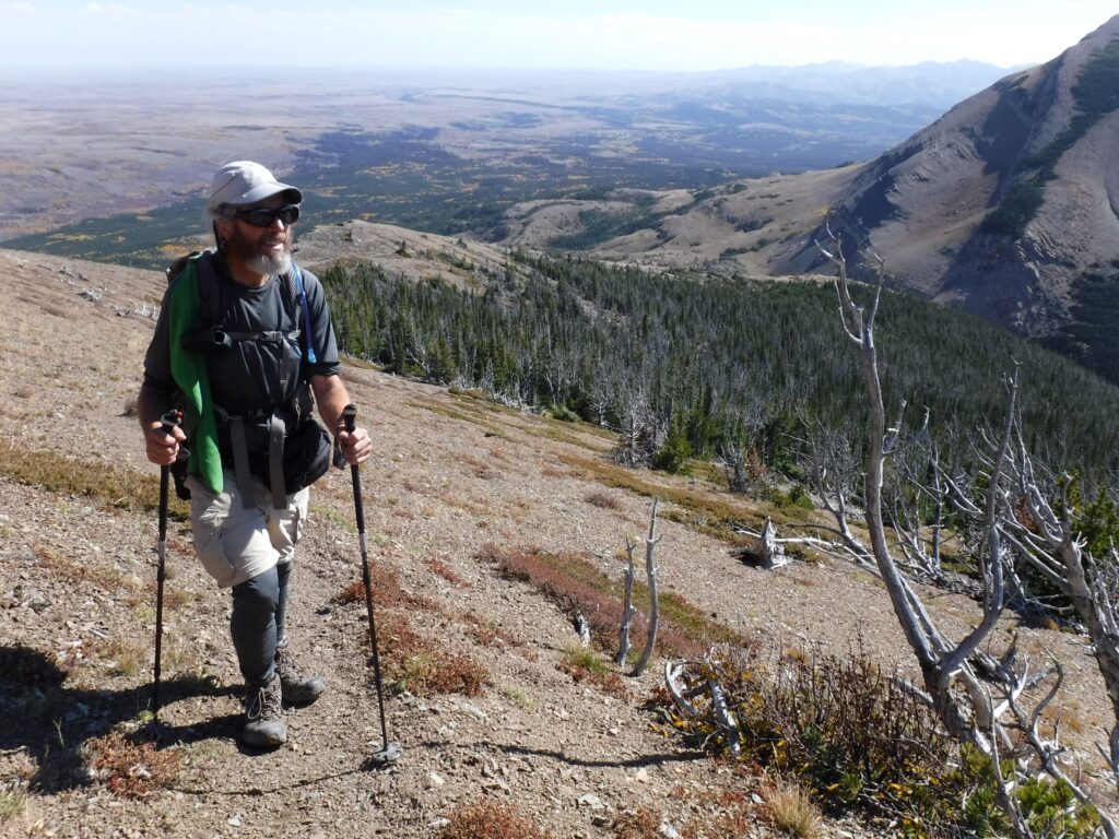
On the morning of July 24 I wished for a high energy level, at least for a 68 year-old hiker. I ate well the day before but I anticipated the terrain would be more challenging. Moreover, I wanted to complete the 220 mile hike on the 27th, the day I would run out of food. I wanted to feel good about this hike when it was over. Early in the morning I knew my first wish was granted!
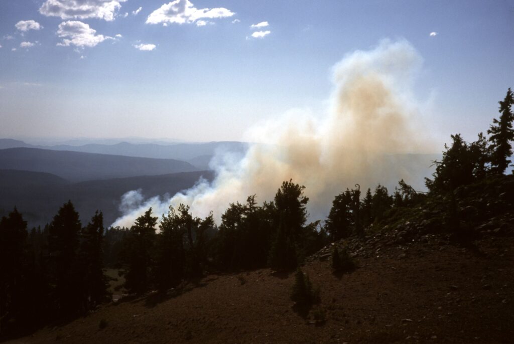
With a heavy heart I waited for Ronnie to pick me up for the drive from Salmon to Chief Joseph Pass. The nearby Moose Creek fire had expanded to over 20,000 acres and two helicopter pilots died in a crash while fighting the wildfire. My complaints of breathing smoke and watery eyes were trivial. The effort to hike on the first day back on the trail was easy compared to the tough and dangerous work done by fire crews.
Day 11, July 19: 17 miles (arrived in Salmon, Idaho)
Previous to arriving in Jackson, where I took a rest day off the trail, the annoyingly steep trail and oxygen starved high elevation encouraged me to slow down, stop and breath deeply. After the zero day I had hoped the rest would propel me up and down the CDT with renewed vigor. But, no.
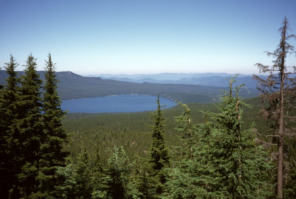
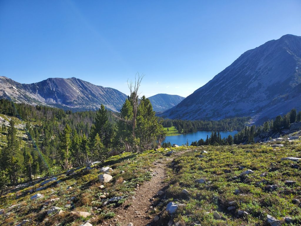
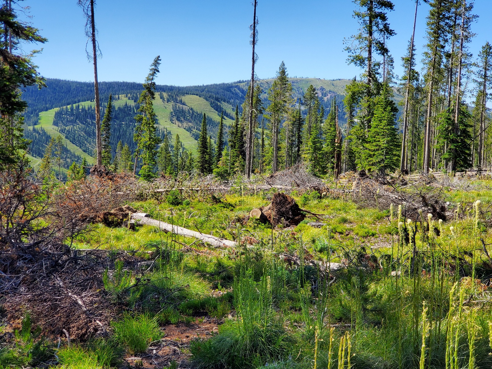
After leaving a campsite near Rock Island Lake I slowly climbed to a high saddle at 9227 feet while fending off mosquitoes that never really went to bed last night. The route on the downhill side was not obvious, so I took time to enjoy the view. I kept reminding myself that I am in no hurry, thanks to avoiding over 60 miles of trail I hiked two years before.
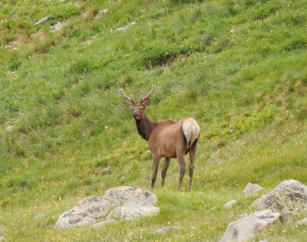
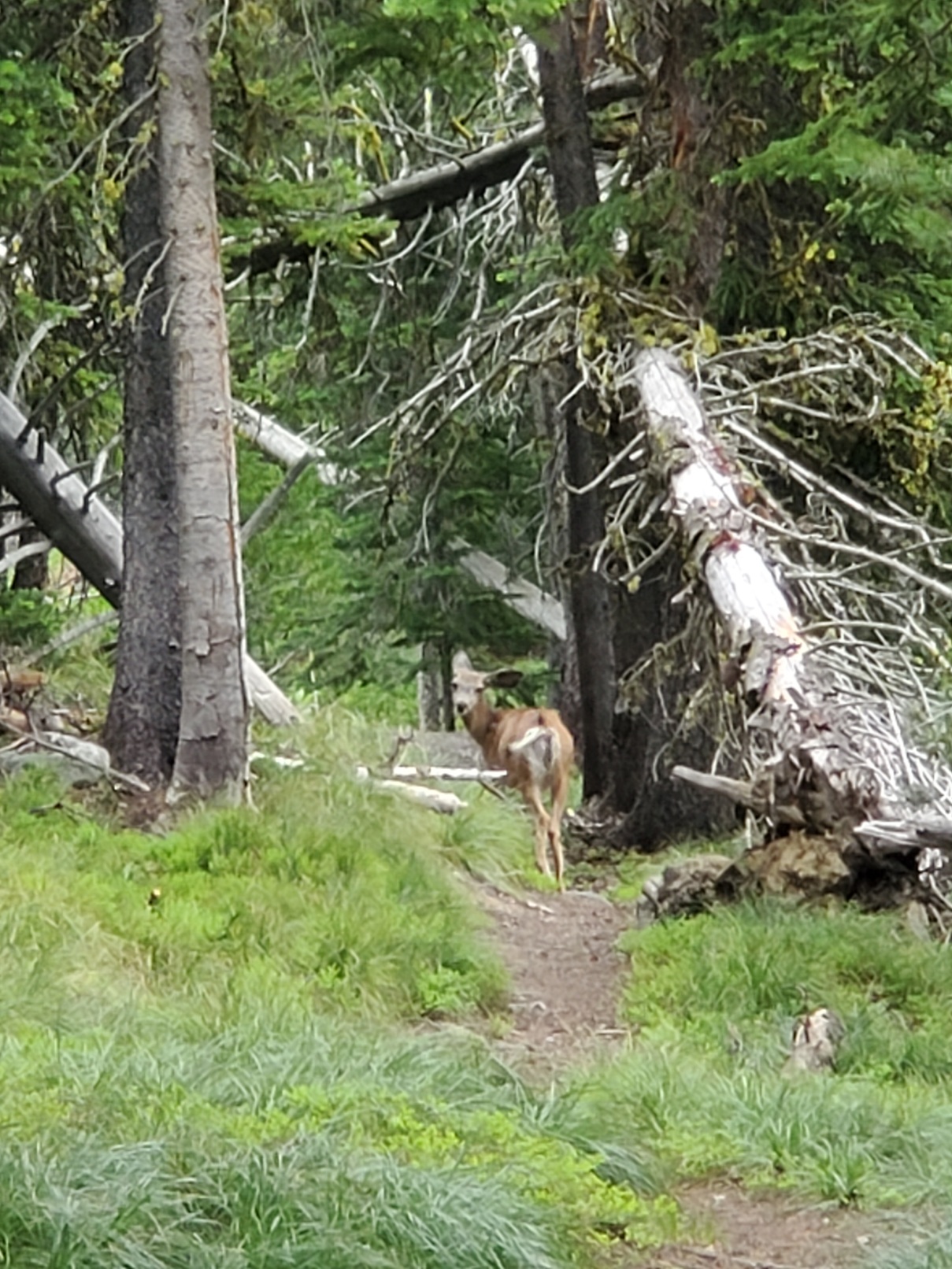
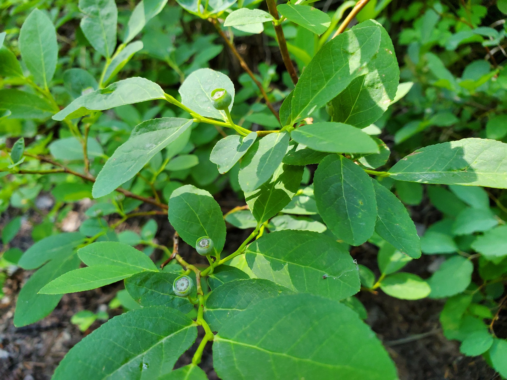
With the peaks of the Divide on my left and meadows and small lakes ahead I let gravity assist my downhill progress northbound. I was not feeling my best, though. However, the day off from the trail was an excellent mental break, and I viewed this part of the CDT with enthusiasm. Getting a good look at a mule deer helped, and meeting day hikers was nice. It was Sunday and trail users ranged from hikers to ATV users. During a short rest I noticed a huckleberry bush with tiny, green berries. In a month or so bears will come here to feed on the berries. For now, I was happy to have no bear encounters.
I have been very careful storing my food at night. I have an Ursack that is designed to prevent a bear from getting at the food, although the contents might be crushed beyond recognition. The purpose is to avoid bear from becoming habituated to human food. Grizzlies can’t climb trees, so the best storage technique is to get the bag above the ground.
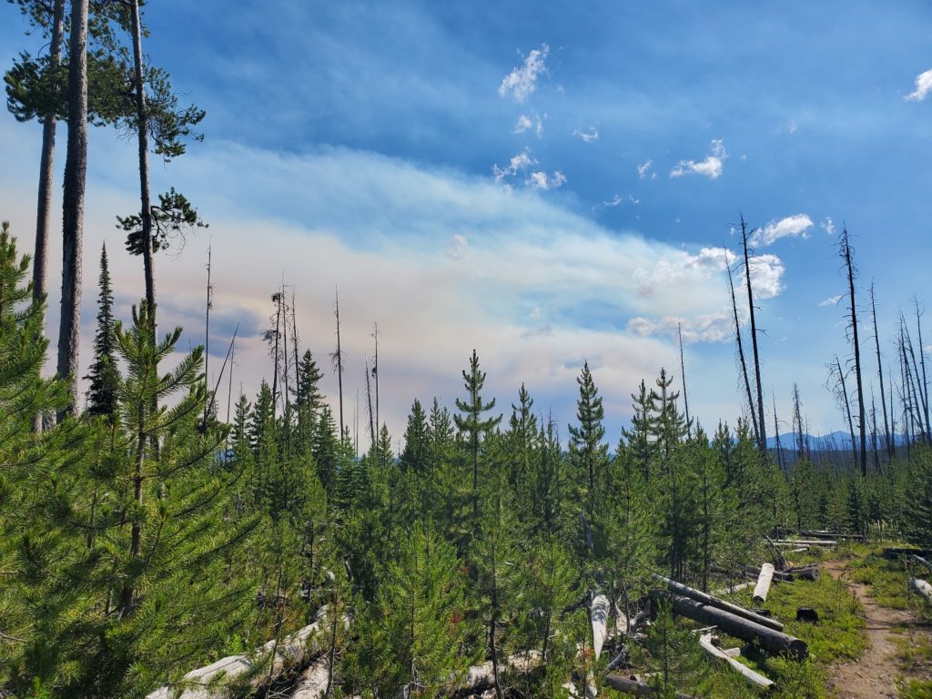
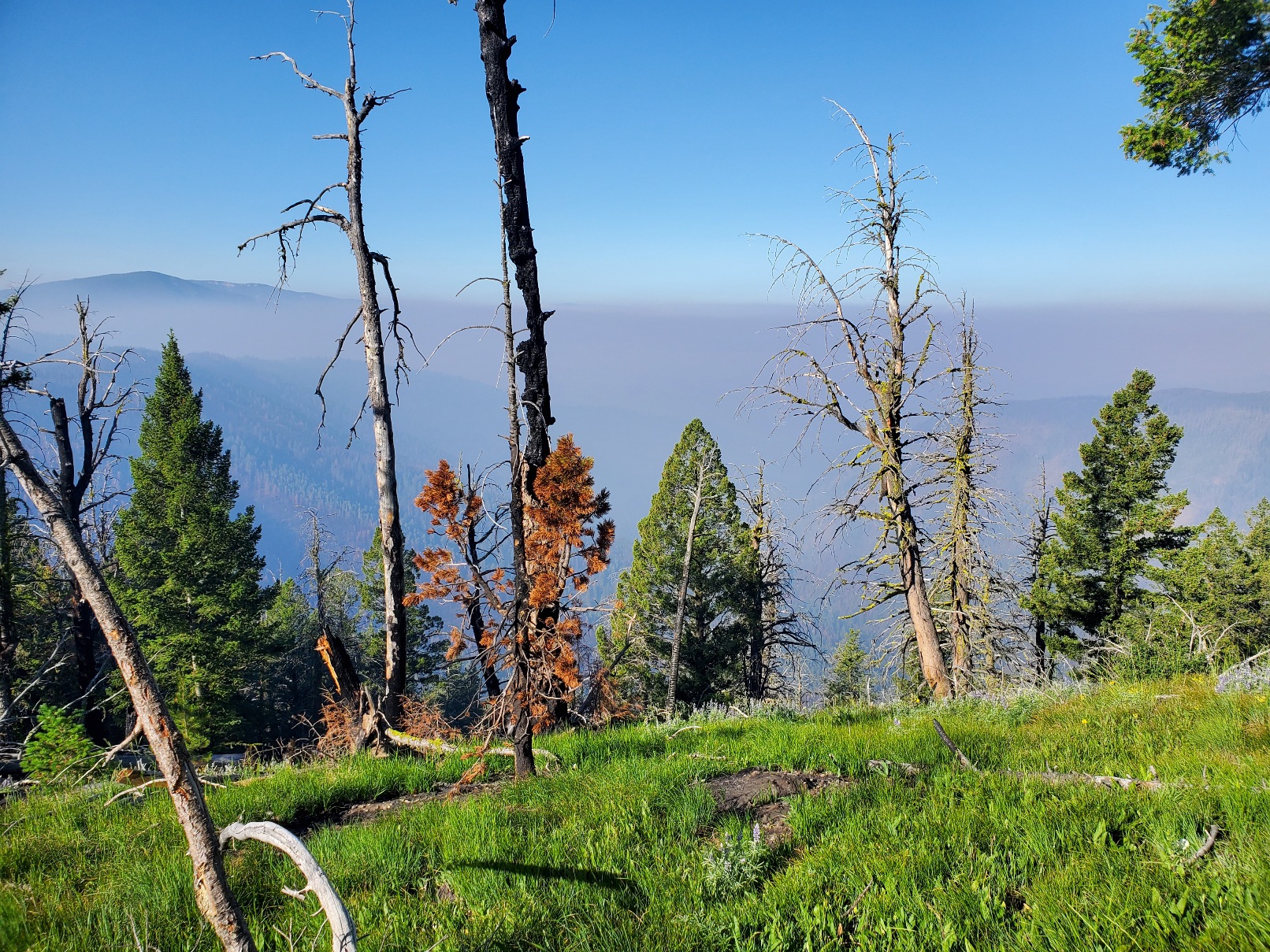
I became concerned about the air, which turned smoky even to the point of casting a reddish hue on almost everything. A day-hiker told me a fire started northwest of Salmon, the town I would go to within a couple of days. Yikes! I could see the plume of smoke rising at times, and a look into a GPS map app confirmed what the hiker told me.
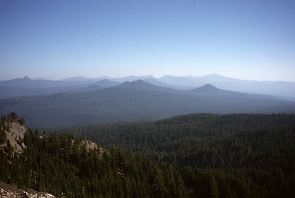
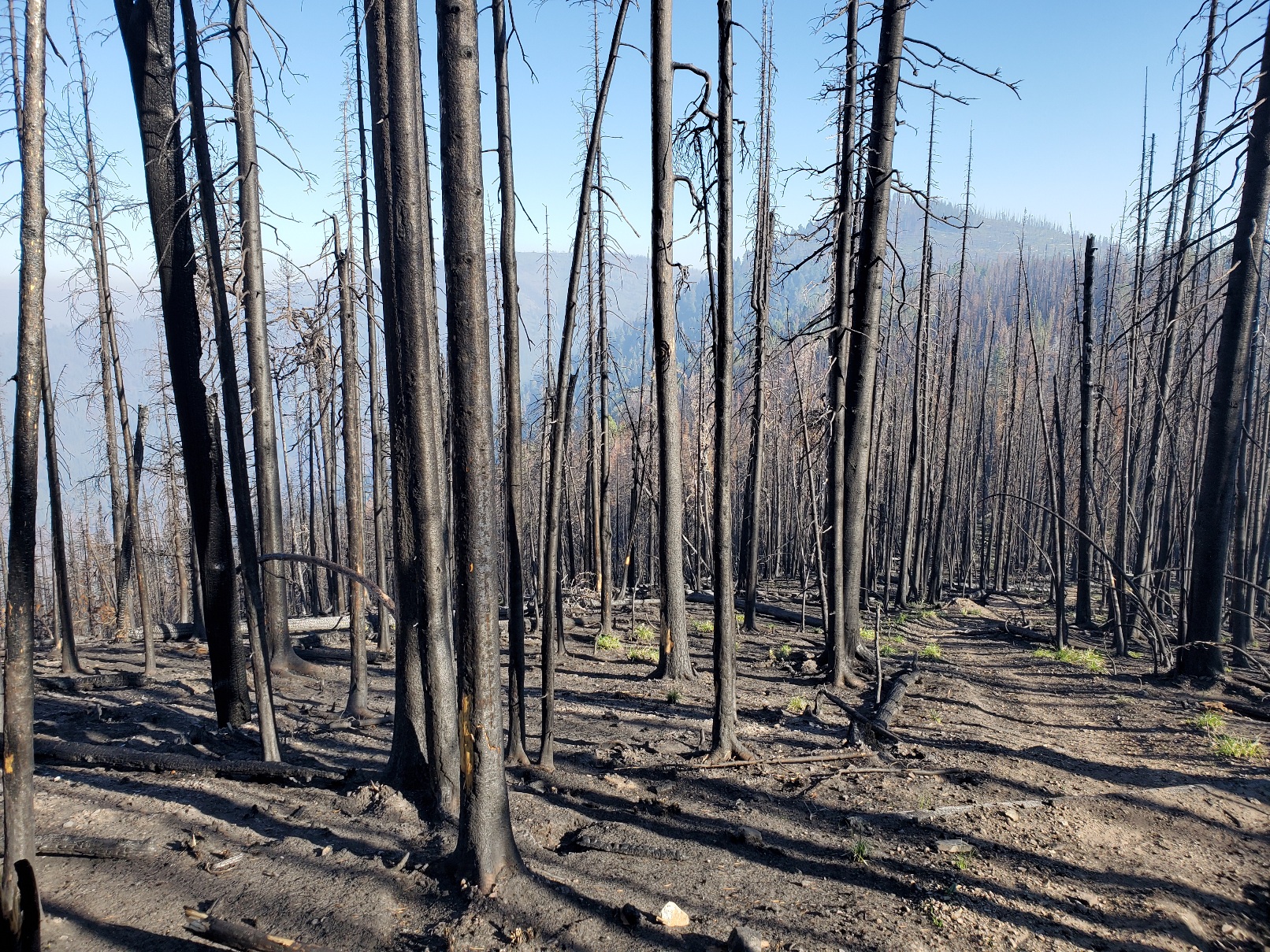
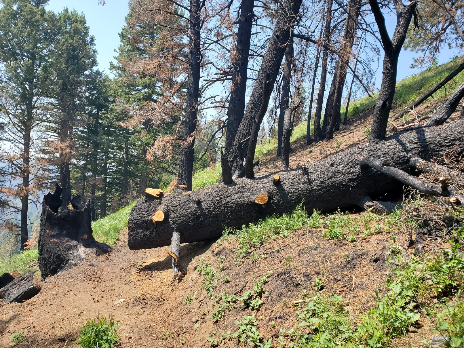
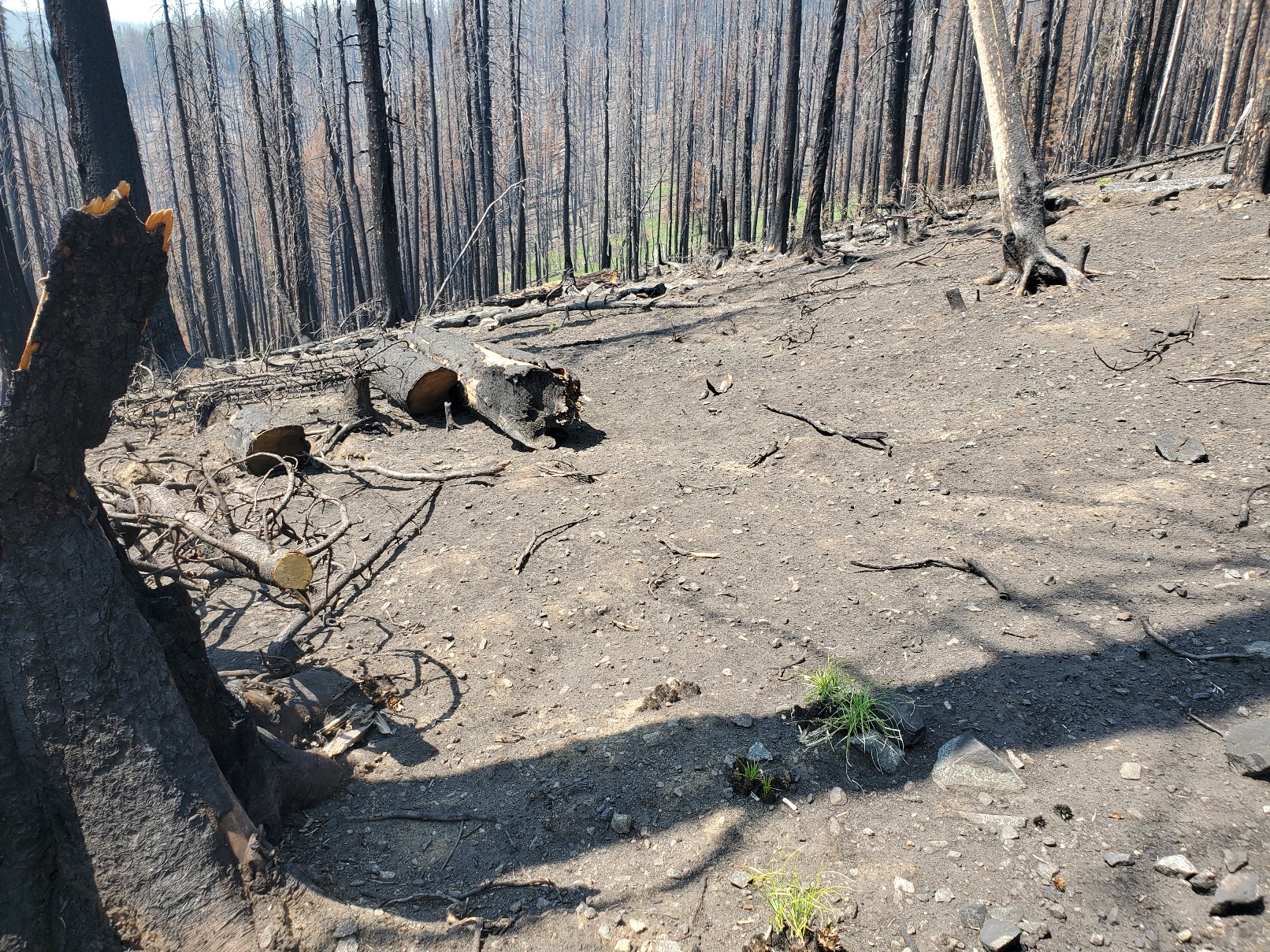
Moreover, the trail beyond Big Hole Pass is affected by several large burned areas. Wildfires are always a significant concern, but in the past decade or two the fires have become more severe. The extended drought in the mountain west has left trees compromised with bark beetles, weakened roots and tinder dry conditions. In the burned areas I observed the stark contrast with the greener, healthier areas I walked through. In some places the forest floor was nearly devoid of any vegetation. Some beargrass and lupin have managed to survive a sparse existence among mostly barren land. A huge, old growth tree burned and toppled to the ground. Trail crews cut the trunk to clear the path for hikers. The diameter of the trunk was greater than the length of my trekking pole.
Life still does exist even in among the dead trees. While resting on a rare and tiny patch of green ground cover that was spared from the recent fire I noticed a woodpecker doing its work on the blackened remnants of the standing trees above me. I used my smartphone to record this sign of life, which I appreciated while eating nuts and dried fruit.
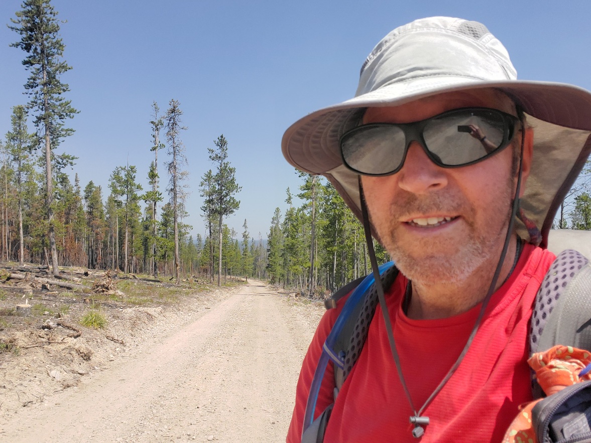
The area between Big Hole Pass and Chief Joseph Pass was hot, steep and a challenge to hike on a hot, low humidity day with the not-so-subtle hints of wildfire smoke entering my respiratory system. I committed to reaching Chief Joseph Pass late that afternoon so I could hitch a ride and sleep on a bed in Salmon rather than under the smoky sky of the Continental Divide. I did it, and it was fun despite the discouraging environment of climate change. Hike on!
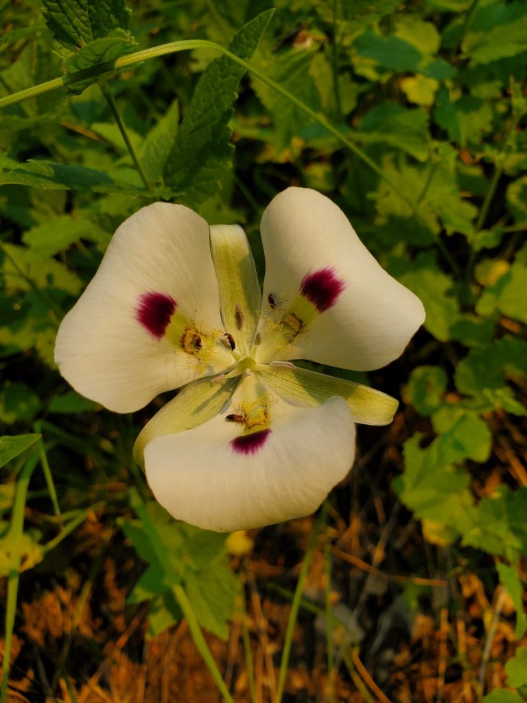
Ajax Peak: look up Hank Williams, Jr.Mule deer.Huckleberry. White Mariposa Lilly.Old growth tree killed by drought and fire.Dead.On the road to Chief Joseph Pass. Lost Trail Pass where Lewis & Clark lost their way temporarily.