Colorado: See ya later!
As I left Steamboat Springs on July 21 I was looking forward to hiking terrain that was more forgiving, less steep and at lower altitude. I was disappointed with my progress throughout northern Colorado, and my knee had begun hurting again since I ascended the 12,250 foot Parkview Mountain just a few days prior. I was so happy that my friend Scott Larson of Steamboat generously gave me a ride to the trailhead near Rabbit Ears Pass, and the home stretch toward the Wyoming border began! I didn’t even mind the cooling effects of the rain that made the forest look and feel like the southern Washington Cascades.
On July 22 I crossed Buffalo Pass and began an ascent of the Mt. Zirkel Wilderness. It was obvious that the trail was climbing to high country again. But once again, toward the late afternoon I was faced with a decision to climb higher in the face of a possible thunderstorm above tree-line, or set up camp early and tackle the final scent toward Lost Ranger Peak under the clear, blue morning sky. I happily set up camp at 5:30 pm also to ease the creeping pain in my left knee.
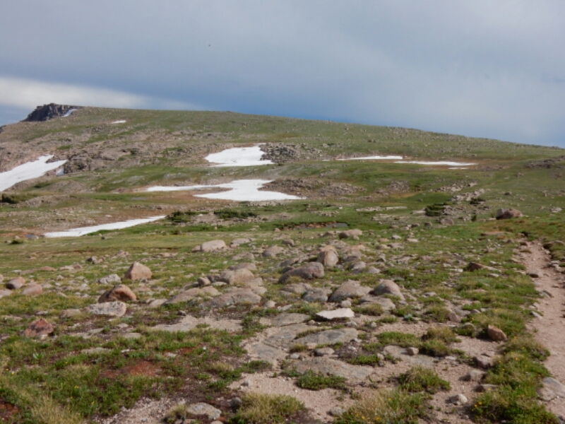
I felt fresh in the morning, and I enjoyed the panoramic views of northern Colorado, nearly the last such views I would gaze in the state the hiked within since June 3.
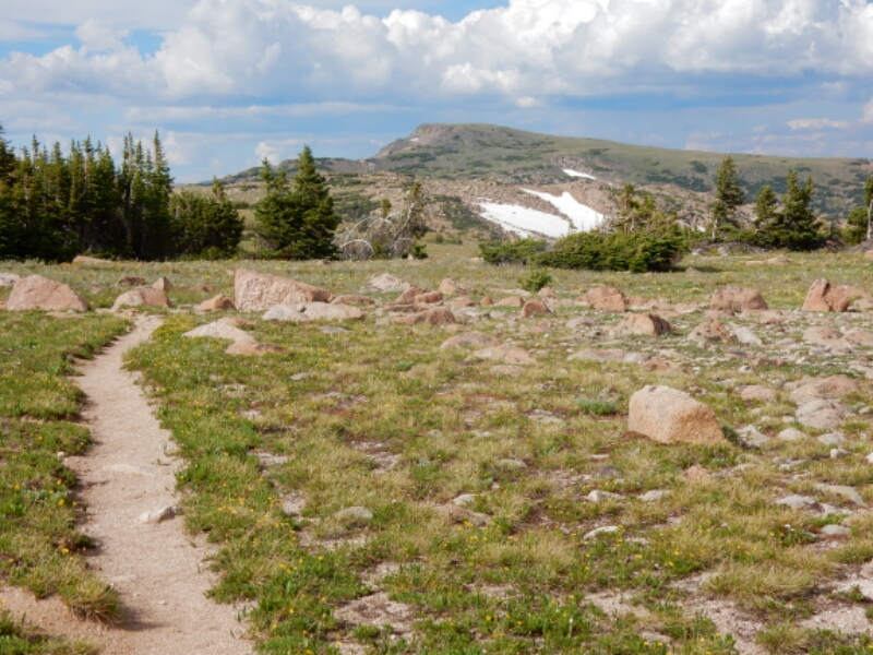
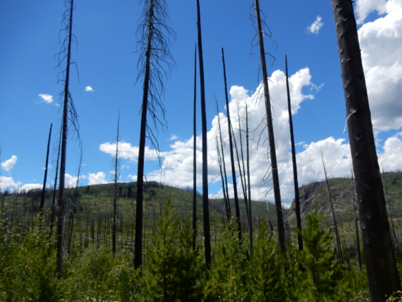
In the Huston Park Wilderness I was treated to lovely, green meadows and forests that unfortunately have been impacted by the beetles that left too many trees dead but still standing. At one moment I listened to a sound that resembled screams coming from the distance…human?…or perhaps a pack of coyotes? No. Rather, the scary sound was the effects of wind blowing through the skeletal branches of dead trees. Crys for help? It was a sad reminder of whatvis happening to our planet.
The day I reached the Wyoming border featured a long piece of trail that was on an old jeep track.
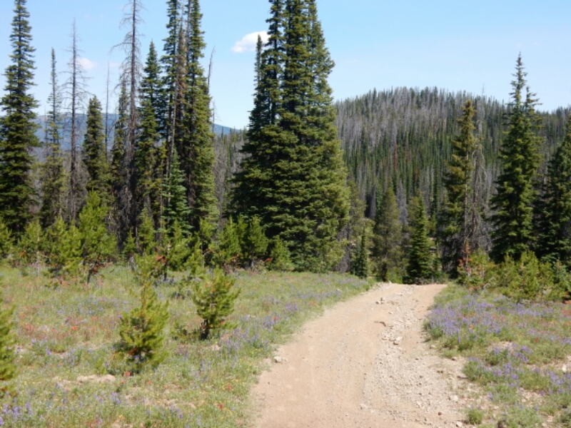
The jeep track made for low-stress hiking, which helped my sore knee considerably, until said jeep track began a steep descent. The track was eroded and held a significant amount of loose rock and gravel. I sometimes took baby steps to carwfully maintain traction, but what happened mere feet before end of the descent surprised the hell out of me. My right foot slipped on the steep, gravelly surface, my downhill momentum hurled me against the rocks on the eroded right side of the track, pushing my right leg hard against one of my trekking poles. The pain in my right leg was accompanied by the worrisome stress on the already sore left knee. Involuntarily, I shouted, “SHIT!” while grabbing what hurt the most and looking at the trekking pole that was now bent. Once again, I wondered if this fall would end my thru-hike because the shock and pain was acute enough to be the result of something broken, and not just a carbon fiber trekking pole.
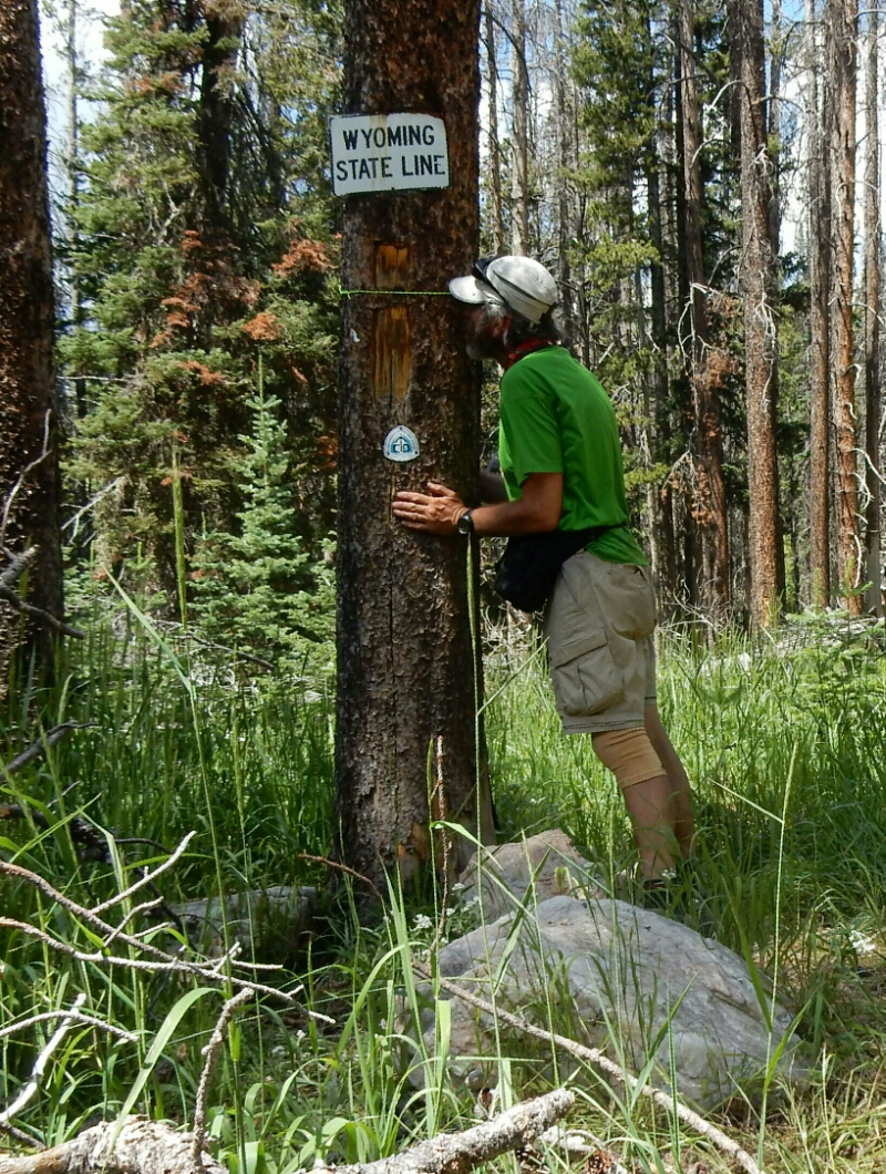
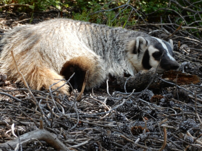
Thankfully, after pounding the dust and dirt off me I arrived at the Wyoming border. I was planning on a celebration at the border, possibly with hiker Dustbunny, who has been leap-frogging me on the CDT since Breckenridge. But she was not at the border, and I suspected she rightfully could not wait for me any longer. I had taken time to text Cindy about ordering new poles, and to vent my frustration of another fall. At the border I hugged and kissed a tree, and wondered why the badger I saw an hour before the fall seemed to symbolize a last attempt at breaking my confidence rather that a good omen, as I normally view wildlife.
In the end, the incident reminded me of the unofficial slogan of the CDT, “Embrace the Brutality”. No kidding. Colorado, see ya later! Hello Wyoming, a fresh start.
Link to my InReach tracking map (see where I have hiked, updated hourly): https://share.delorme.com/RogerCarpenter

Snowy Range National Park and Medicine Bow Peak are right on the Continental Divide. I camped and hiked there once. I saw my first moose there one early
morning-standing in a shallow pond. I think he was asleep and I woke him.
Medicine Bow Peak is about 12,100 feet if I remember correctly.
Take care!
Marv