CDT August 23-27: Yellowstone to Idaho and Montana borders

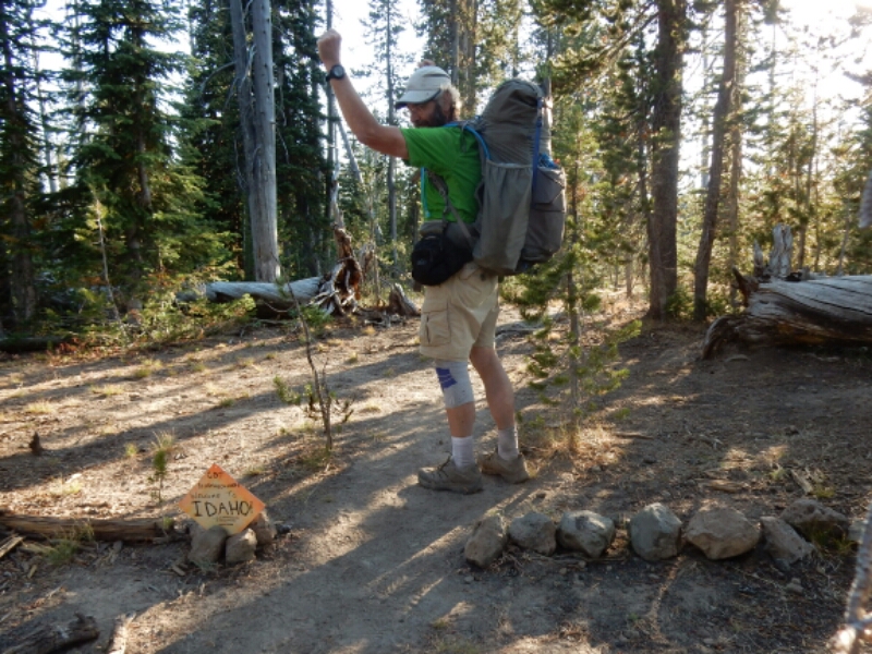
ENTERING THE FINAL STATE, MONTANA. I left Yellowstone on August 23 along very easy-going trail, but through a large burned area. Before leaving the National Park, however, I crossed the state line between Wyoming and Idaho, a state which the CDT merely straddles with Montana. Wyoming was very good to me. I entered the state with my injured knee a huge concern, and the mellow trails allowed the pain to subside, at least temporarily. I passed by the border with a slight expression of satisfaction, more interested in making more miles that day.

image

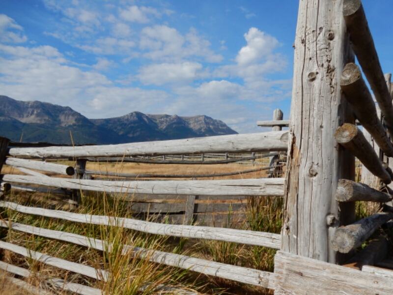
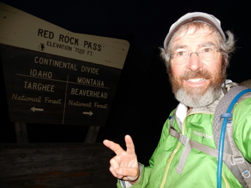
While at the Sawtelle RV park overnight I decided to take an alternate route to the next resupply town, Lima, Montana. This allowed me to get to Lima in less time with less wear and tear on me. Along the way, in the Centennial Valley, I hiked over Red Rock Pass and across the border to Montana early morning on August 26.
image

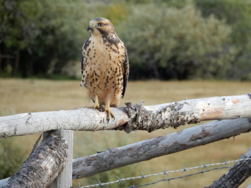
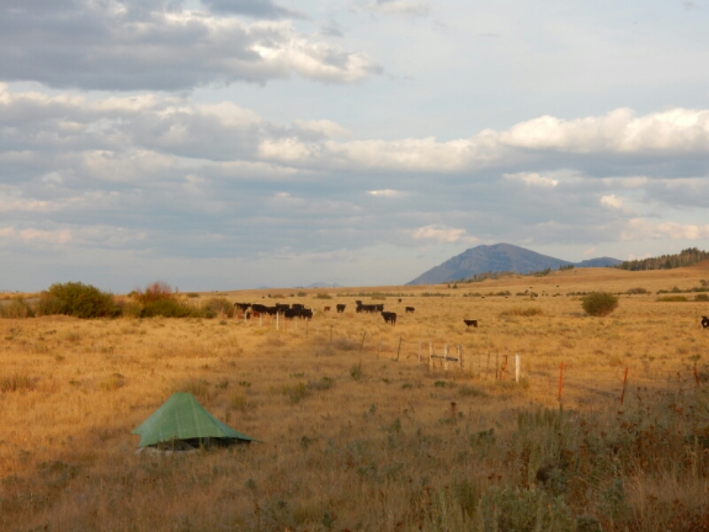
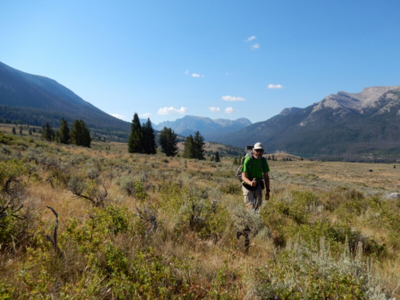
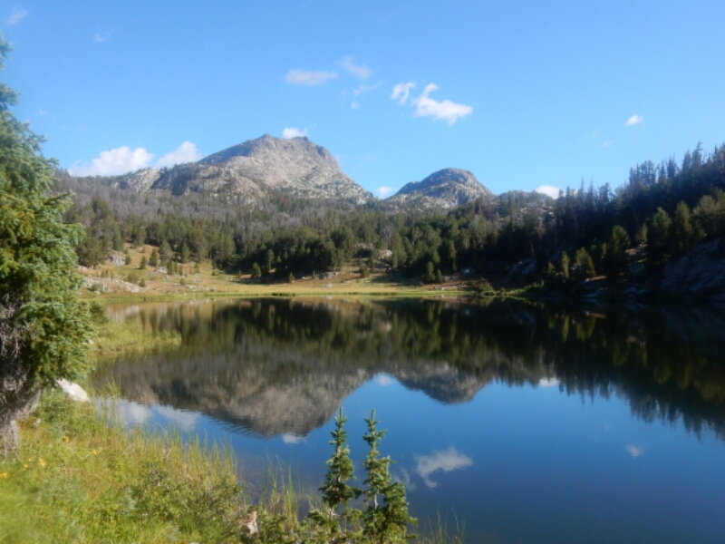
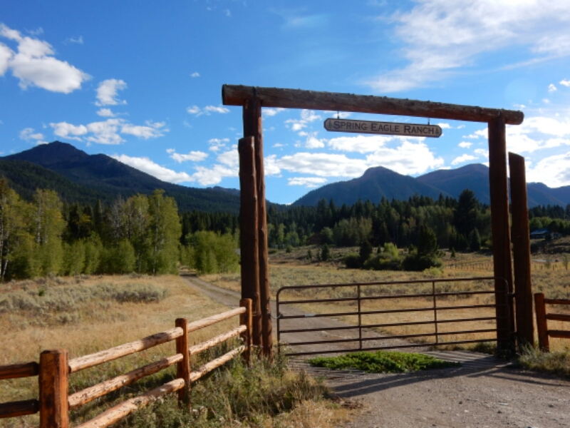
My choice of the alternate route was a good one. The valley featured Red Rock Wildlife Refuge, lovely ranches, birds of prey, and other wildlife such as the first fox I saw on the entire hike. I still had to be “bear aware”, the same as if I was hiking the divide 2+ miles to the south and 2000 feet higher.
image

image

image

image

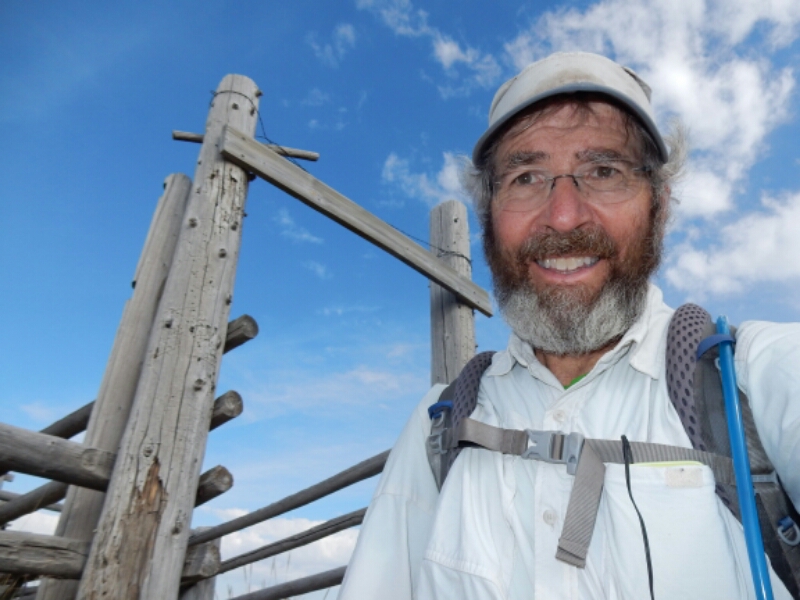
I plan on taking another alternate route about five days after departing Lima. The goal is to move up my arrival in Glacier National Park in late September to avoid the possibilities of cold, snowy weather and closed or limited route options through Glacier National Park. This will involve some backroad and highway walking between Lemhi Pass (the important Lewis and Clark Expedition milestone) and Anaconda. Regardless of the route choices, GREG IN WILD HIKES ON!

image

CDT August 16-22: Togwotee Pass to Yellowstone NP

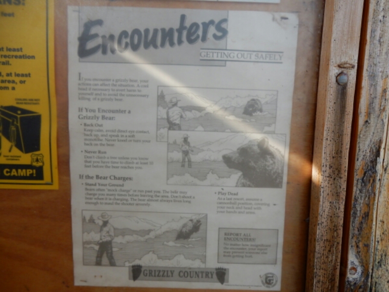
GRIZZLIES, GEYSERS AND A VERY NICE HIKE:  On August 16 I reached Brooks Lake, a large lake in the Teton Wilderness, I read signs posted by the Forest Service warning of grizzlies and how to deal with encounters. I was extra cautious while hiking. This included daily practice quick-drawing the bear spray, talking frequently to a possible unsuspecting bear, not cooking in camp and hanging food 300 feet away from my tent at night. Being confident with the potential for bear encounter allowed me to enjoy the mountains, river valleys and mostly mellow trail.
image

Continue reading “CDT August 16-22: Togwotee Pass to Yellowstone NP”

CDT August 12-15: Pinedale to Togwotee Pass, WY

WALKING WITH GRIZZLIES IN THE WIND RIVERS.  The Wind River Range is a lovely place to hike, and I was fortunate to enjoy the megestic scenery without any uncomfortable encounters with a griz. As I hiked I paid close attention to my ailing knee while managing to hike 20+ mile days three days in a row. It was not the pace I originally planned for, but not everything on a 2700-mile hike can go perfectly. Now, it’s about taking each day at a time and enjoying the Rocky Mountains, the Wind Rivera and Yellowstone.
image

Continue reading “CDT August 12-15: Pinedale to Togwotee Pass, WY”

CDT Aug 4-8: South Pass City to Pinedale, WY

BACK TO THE MOUNTAINS, THE WIND RIVER RANGE! 
I was happy to trade the hot, windy sagebrush land of the Great Divide Basin for the mountains.  I have been told by other CDT hikers the Wind Rivers were a pleasant surprise.
image

Continue reading “CDT Aug 4-8: South Pass City to Pinedale, WY”

CDT July 30- Aug 4: Rawlins to South Pass City, WY

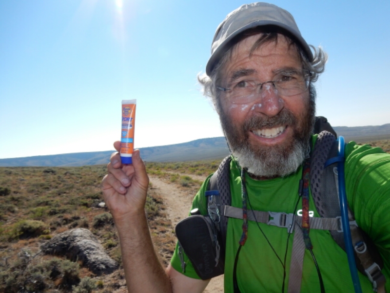
Okay, what is 160 miles long, is virtually treeless, has very little water, and features high winds up 40 mph all day?  You probably first think of death valley.  WRONG! It is the CDT inside the Great Divide Basin of southern Wyoming, plus the 40 miles south of Rawlins.  I just hiked that section, and I am sure happy that I carried plenty of sunscreen and water purification solution.

image

Continue reading “CDT July 30- Aug 4: Rawlins to South Pass City, WY”