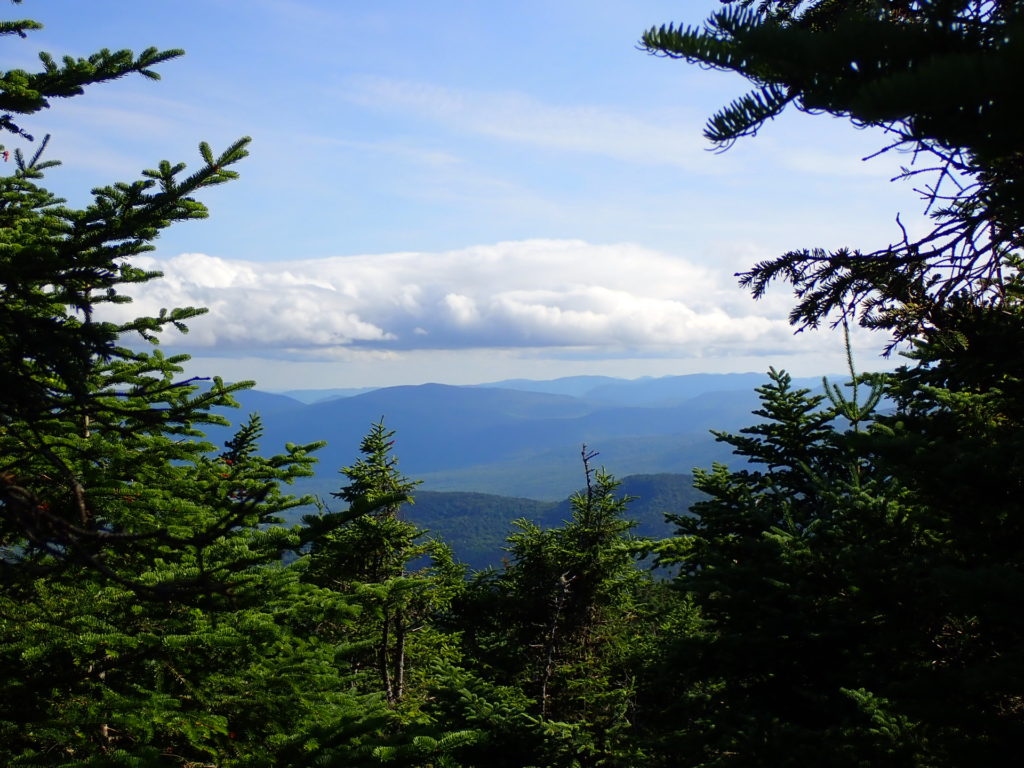
I returned to the trail on July 15 after a very restful zero day in the lovely lake resort town of Rangeley. Regardless, I felt sluggish from the previous days of tough hiking and was relieved the 13.8 miles ahead had much less elevation changes, although tedious as usual for the Maine AT. The most challenging day of this section was the second, July 16. Bemis Mountain and Old Blue were the highlight but did not provide the exceptional views I enjoyed on the Saddlebacks.
See my current location and daily log of my progress on the trail.
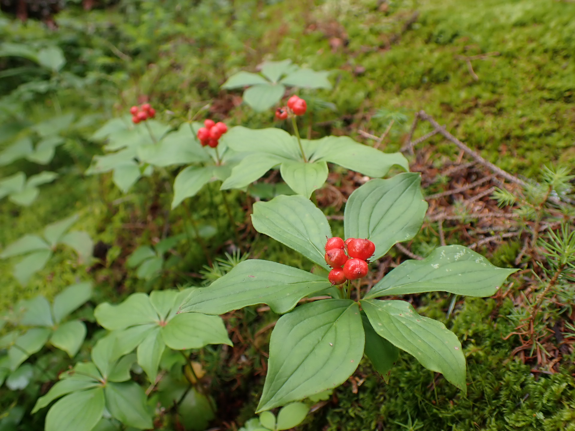
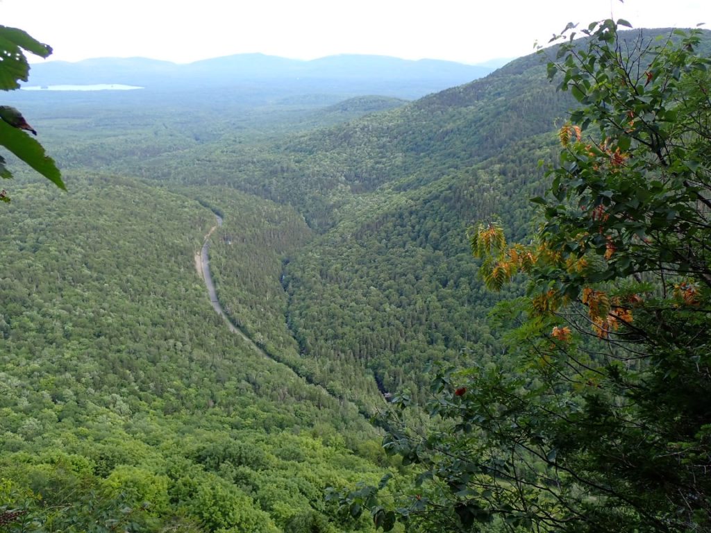
The climb up to Bemis Mountain was very steep, and rain started to fall as Bill, Tony and I reached the Bemis Lean-To. The timing was perfect in a way. We decided to stay dry in the shelter while the heavy rain shower fell for nearly two hours. After the nice lunch break we resumed the climb to Bemis Mountain. Next was Old Blue, a 3600’ mountain that was followed by an extremely steep, bouldery descent. On the long descent I noticed an overlook provided a great view of the valley where we planned to camp. About 500 feet above the campsite Tony slipped on wet ground and rolled down the hill before a tree stopped his fall. Shaken, but not hurt, Tony got up, checked his body and gear, and resumed downhill unhurt. This continues to be the reality of the AT in Maine, and most likely the entire trail.
At the large, streamside campsite there were already six northbound hikers with their tents set up. A couple, accompanied by their five year child, are thru-hiking to Mt. Katahdin! Three young women hiking together included one who is from Three Lakes, Wisconsin, the birthplace of my grandmother. The distance hiking community continues to surprise me with the connections and spirit of the people!
July 17 was a relatively easy day to finish the three day section and get a ride to The Cabin hostel.
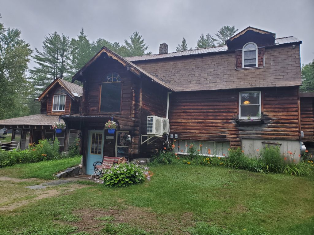
At the hostel I am listening to the advice from northbound AT hikers who recently hiked the southern end of Maine and the White Mountains of New Hampshire. My plan is to complete the 41 miles in five days, thus giving me options to hike a short day if any area wears me down. It will be nice to finish Maine and begin new challenges that I know will be amazing. Before reaching the Whites I will hike through the Mahoosuc Notch, considered the most difficult mile on the AT! Bring it on!

I congratulate you for pushing ahead but every photo I see of those massive boulders and slick tree roots causes me to wince in sympathetic pain. You were so lucky not to have been sidelined permanently by that sliding fall. I will keep reading (enjoying your colorful descriptions) but would rather not look at more photos of the treacherous trail… my imagination takes me to bad places (like the ominous-sounding Mahoosuc Notch).
Behind you in spirit (only),
Bonnie
It will be nice to get Maine behind you!
Hi Roger, aka Greg. Most delightful reads following you, Toni and Bill. thank you for sharing your adventure. My best wishes to the three of you. Stay safe.
Mahoosuc is a big jigsaw puzzle. I am sure you are getting lots of advice regarding the Whites. If you survive Maine, you will be fine in the Whites. The hardest part is finding places to camp along the Presidentials. Work for stay is a nice option at the huts for the thru hikers. The north side of Mooseaulakee is one of the worst sections to me in the Whites. Harder going down then up. You will be going up! Some non AT White/Green Mtn trails are brutal, but you will not have to deal with them. I head tomorrow to finish my last 55 mile stretch of the Long Trail (MA border to Rt. 11/30 which the AT follows). Stay safe, Brownie
Seems like you are running in to more hikers on the AT vs PCT/CD. Hope you keep up the good progress!
Don’t think of Mahoosic Notch as a difficulty. It is more like caving without the darkness.
Hi Elusive! I am looking forward to Mahoosuc Notch!
love your pictures and journal entries! Stay safe!!