One reason I chose to hike the AT southbound is my love of hiking in September and October. Cooler, crisp air brings my outdoor spirit to a nice place. On this thru-hike I will be hiking every day during my favorite months. September 1 would be celebratory, but not so much this time with the remnants of hurricane Ida sweeping across Connecticut and dumping at least three inches of rain! I had a plan to avoid spending a night in an AT shelter during the downpour. Eddie, who is the grandson of the elderly woman whose house I stayed in the previous night, drove me to Great Barrington. I hoteled there while buckets of rain fell all evening and night.
I returned to the AT on September 2. The trail was in better shape than I assumed it would be. But not everywhere. One creek named Guinea Brook was too dangerous to cross (no bridge). A convenient detour using roads was the best option. After camping near the raging Housatonic River I chose to road-walk to avoid the possibility of other dangerous crossings. I think it was a good decision.
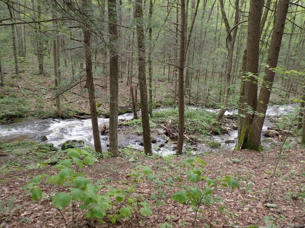


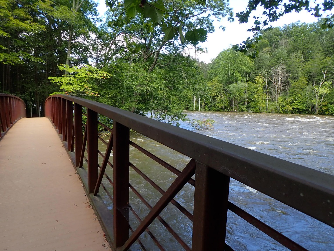
The weather improves after the storm and the trail was back to its normal boggy condition by September 4. The month looks very promising!
Summary:
Day 71, 1-Sep: Milepost 699.7 miled, Daily 9.0, Ascent 2030′, Descent 2150′, Highest 1470′. Town: Got ride from Salisbury, CT to Great Barrington for hotel overnight during torrential rain after remant of hurricane Ida passed. Rain began early in the day and got heavier throughout the day. 3.5 inches of rain of rain fell.
Day 72, 2-Sep: Milepost 715.5 miles, Daily 15.8. Ascent 3340′, Descent 3480′, Highest 1325′. Camp: Stoney Brook Campsite along Housatonic Rv, 390′. Crossed or forded fast moving, high streams. Chose roadwalk instead of dangerous ford of Guinea Brook.
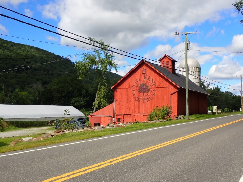
Day 73, 3-Sep: Milepost 735.6 miles, Daily 20.1. Ascent 1600′, Descent 1340′. Camp: 1340′, Highest 975′. Camp: Wiley Shelter 700′. Road walk through Kent, CT until Bulls Bridge to avoid possible dicey stream fords on official route. Entered New York! Stopped at a wonderful farm stand south of Kent.

Good idea to take the smart way. I had to do that in the Whites to avoid a roaring raging river. Found another trail which I took down to a bike path. Stay safe. There’s more weather coming possibly.
Now it’s New York. Don’t forget the “Secret Shelter”.Good spring. I loved that place. I also noticed that in a few places( not many) they are actually rerouting the trail off of steep rocky climbs/descents onto new switchbacks. That was such a treat. Also every once in awhile there are bad weather routes to stay off of exposed rock ridges. And I know I already told you—-there are use trails—maybe made by animals,around some of the slippery exposed stuff in really bad weather.