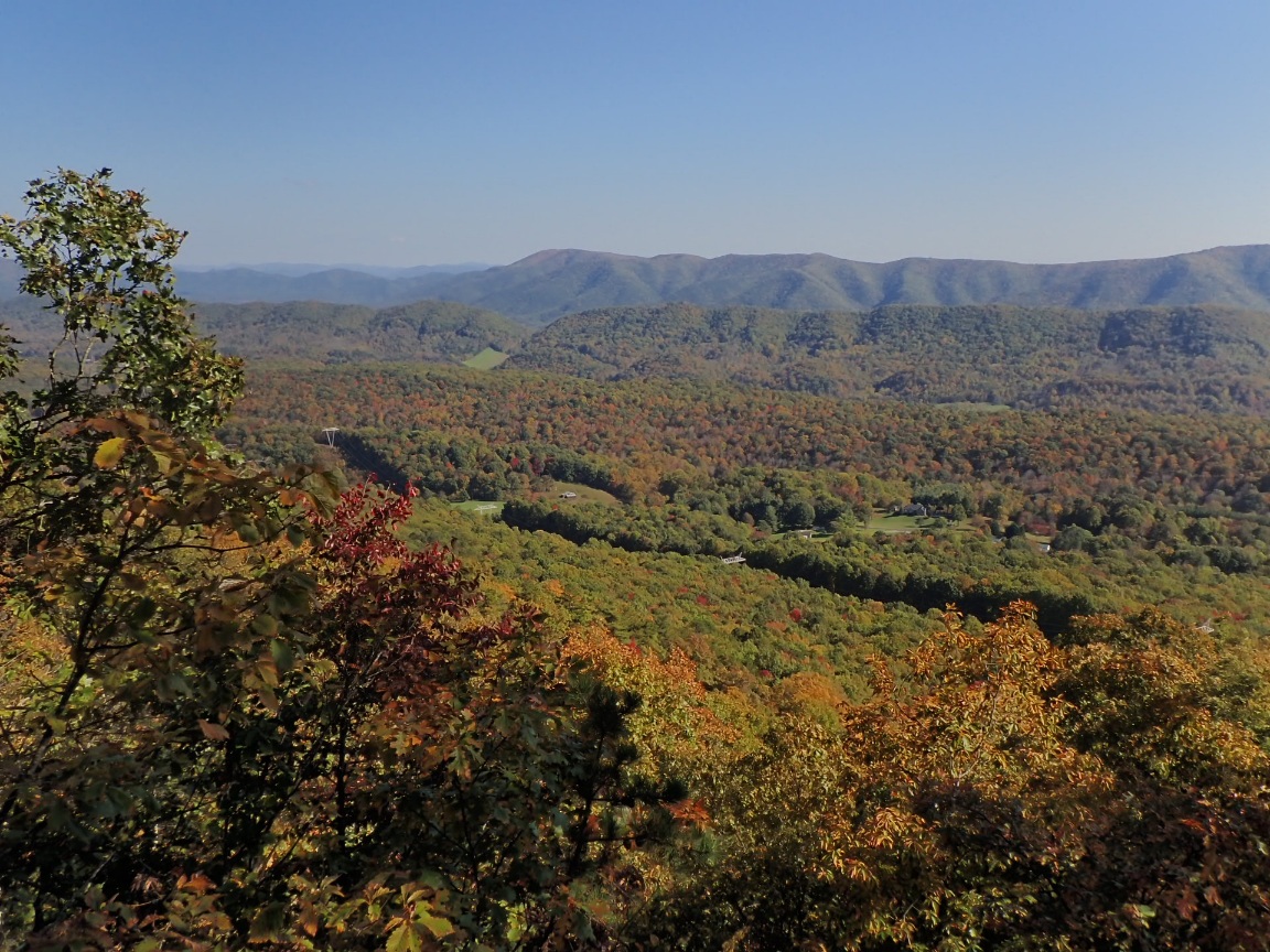
After hiking into Daleville on October 22 to resupply I returned to the trail the next day with clear sky and a sometimes strong, chilly wind. The temperature changed often depending on how much chill the wind delivered to the AT, which made a circuitous route above a wide, deep valley. One side of the ridgetops had views of the Daleville area, the side of the nice valley. The trail climbed to one of the iconic features of this part of Virginia, Tinker Cliffs.
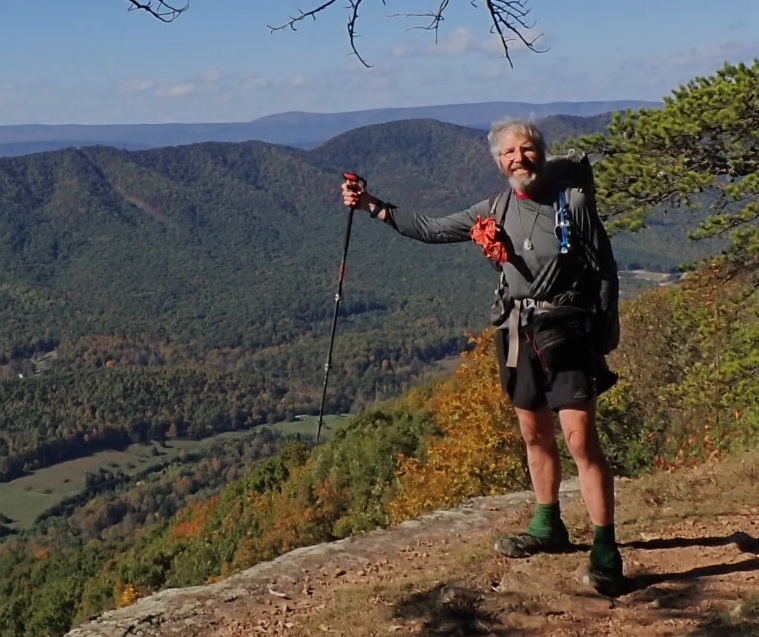
I arrived at the Campbell Shelter at 5pm and joined several groups of hikers who intended to climb to McAfee Knob the next morning, which happened to be my plan, too. I departed the camp at 5:45am while the other campers slept off their weekend reveling that appeared to include alcohol for some of them.
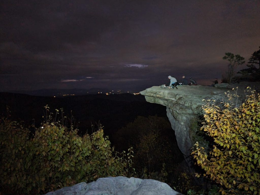
McAfee Knob was still very dark when I arrived at 6:30 and was occupied by a group of four sitting on the iconic ledge. The tarnished photo opportunity of the sunrise convinced me to move on to the next iconic feature, Dragons Tooth. McAfee Knob is the most iconic place along the AT. But it becomes very crowded on nice weekend days, like this day was. As I departed the photogenic cliff I saw the stream of bright headlamps and flashlights coming up the switchbacks. It reminded me of the final scene in the baseball film Field of Dreams with the long line of cars approaching the cornfield-turned-baseball field at dusk. Build a trail to it, and they will come!
In a strange change, after hiking among the many dayhikers, which was nice, I camped alone at the Pickle Branch Shelter. l
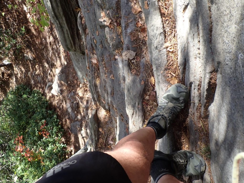
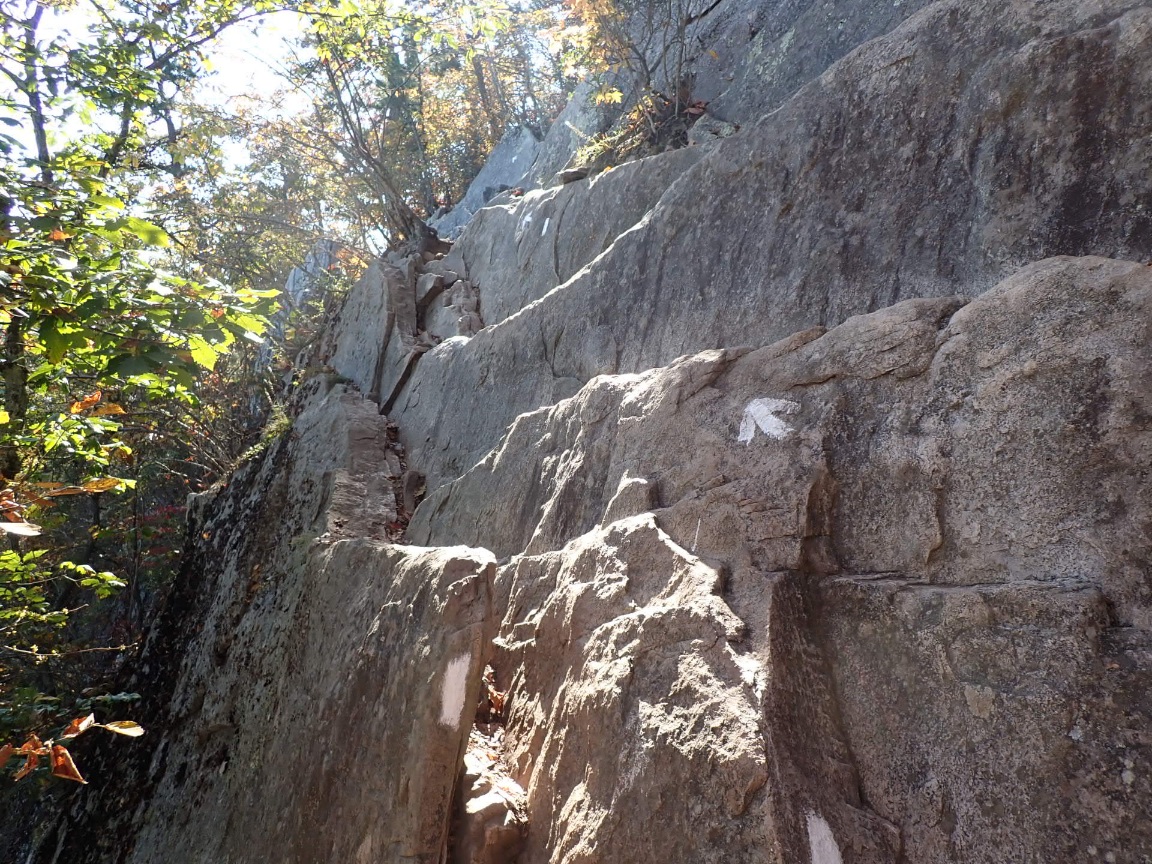
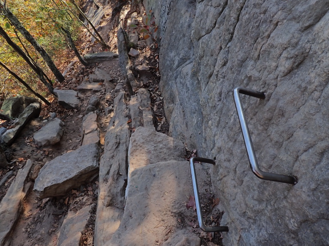
The steep climb to Dragons Tooth is slowed me considerably. The rocks, ledges and the necessary handholds were reminiscent of New Hampshire and Maine which created WTF moments! The views were nice from the ridges, but I was more eager to reach camp than gaze the views from the third landmark of what the locals call their “Triple Crown.” Not the Triple Crown I want to earn in about 50 days when I reach Springer Mountain!

Day 122, 22-Oct. Milepost: 1462.8 miles, Daily: 11.2, Ascent: 2320′, Descent: 2935′, Highest: 2625′. Town: Daleville. Hiked into Daleville at noon for resupply and rest.
Day 123, 23-Oct. Milepost: 1478.2 miles, Daily: 15.4, Ascent: 3765′, Descent: 2450′, Highest: 3020′. Camp: Campbell Shelter, 0.7 mile north of McAfee Knob, 2630′. Left Daleville; In excellent weather hiked along Tinker Cliffs with outstanding views that are a preview of tomorrow at McAfee Knob.
Day 124, 24-Oct. Milepost: 1495.2 miles, Daily: 17.0, Ascent: 3980′, Descent: 4760′, Highest: 3170′. Camp: Pickle Branch Shelter, 4.4 miles southbound from Dragons Tooth, Jefferson National Forest, 1850′. Reached McAfee Knob before sunrise; next, tedious climb to Dragons Tooth, both places crowded with weekend day hikers.

Sorry you didn’t get a moment on McAfee. Yes Dragon’s tooth is WTF!
Stay safe!
Wonderful pictures. Thank you Roger
Eeek, more boulderly!
Build a trail to it, and they will come, great phrase!