Day 8, July 16: 4 miles (departed Jackson, MT)
Day 9, July 17: 13 miles
Day 10, July 18: 17 miles
Day 11, July 19: 17 miles (arrived in Salmon, Idaho)
Previous to arriving in Jackson, where I took a rest day off the trail, the annoyingly steep trail and oxygen starved high elevation encouraged me to slow down, stop and breath deeply. After the zero day I had hoped the rest would propel me up and down the CDT with renewed vigor. But, no.
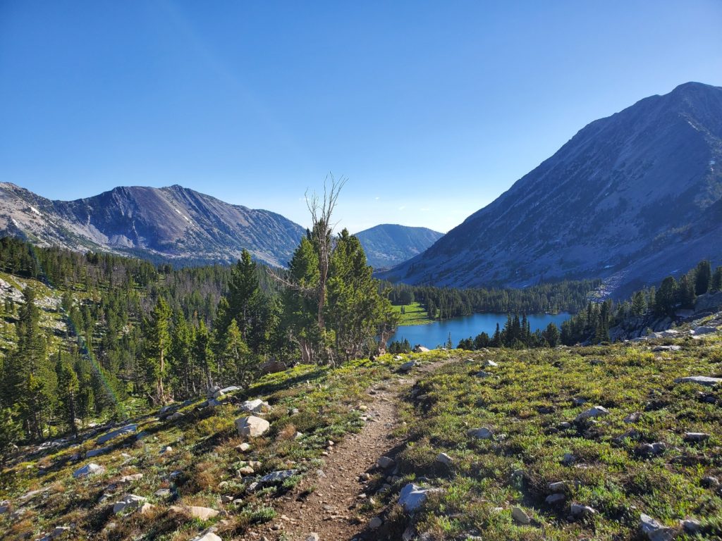
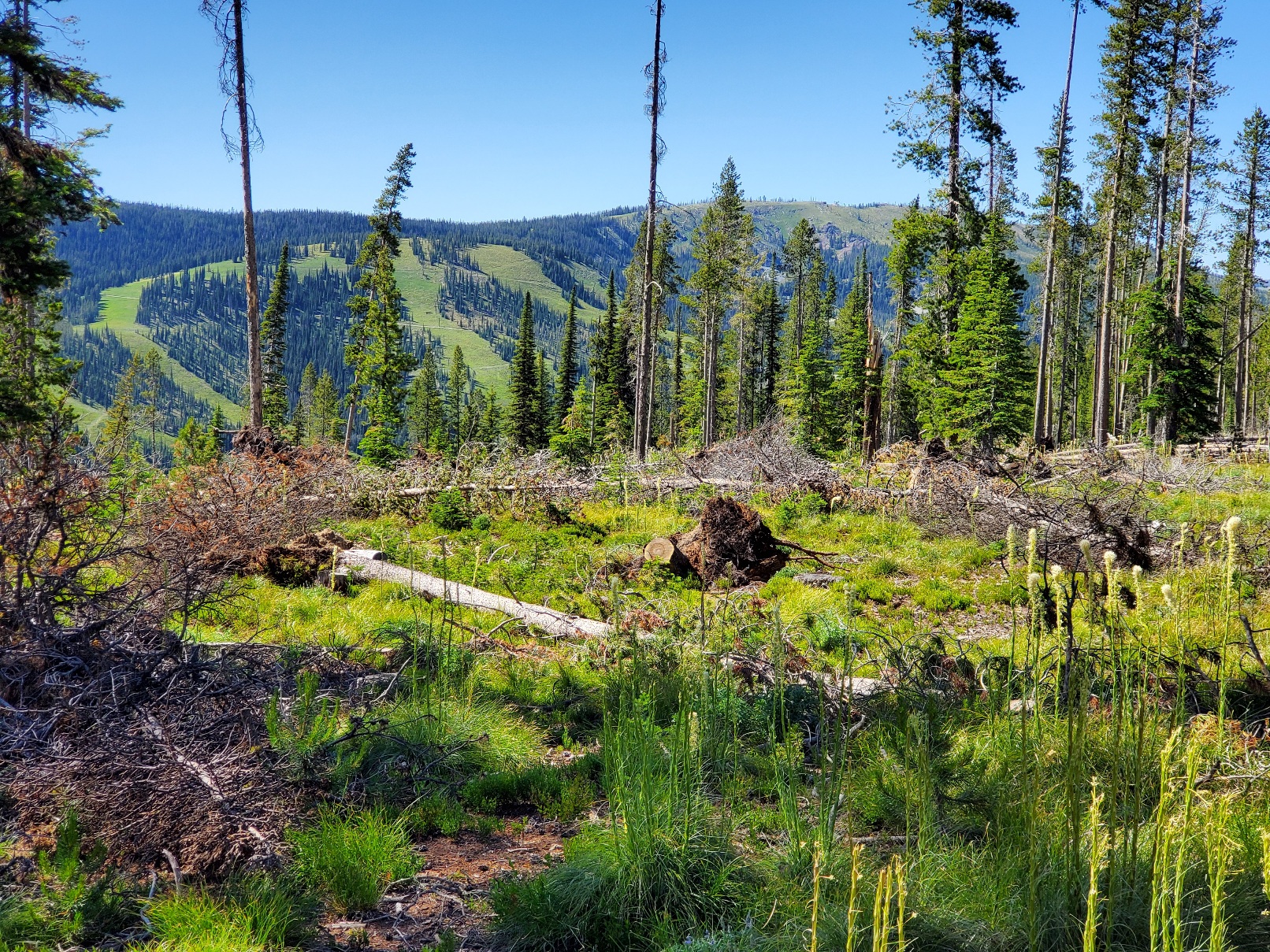
After leaving a campsite near Rock Island Lake I slowly climbed to a high saddle at 9227 feet while fending off mosquitoes that never really went to bed last night. The route on the downhill side was not obvious, so I took time to enjoy the view. I kept reminding myself that I am in no hurry, thanks to avoiding over 60 miles of trail I hiked two years before.
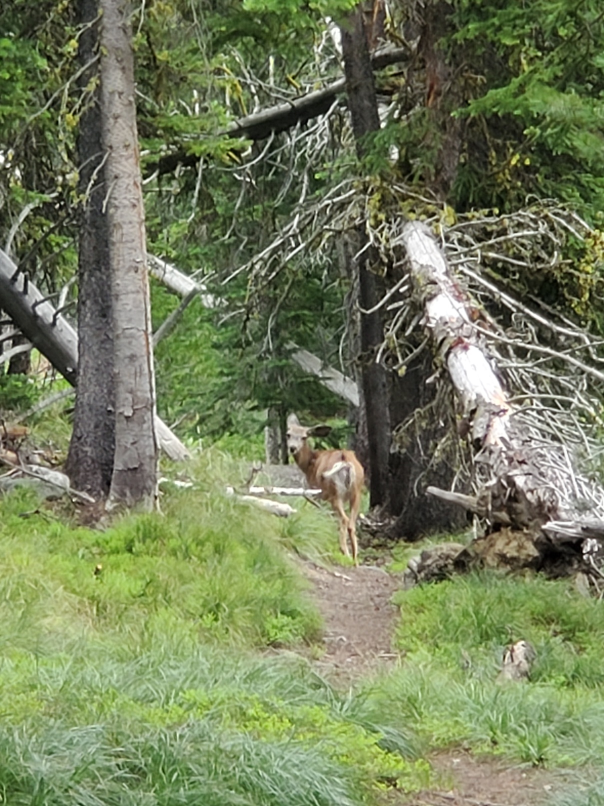
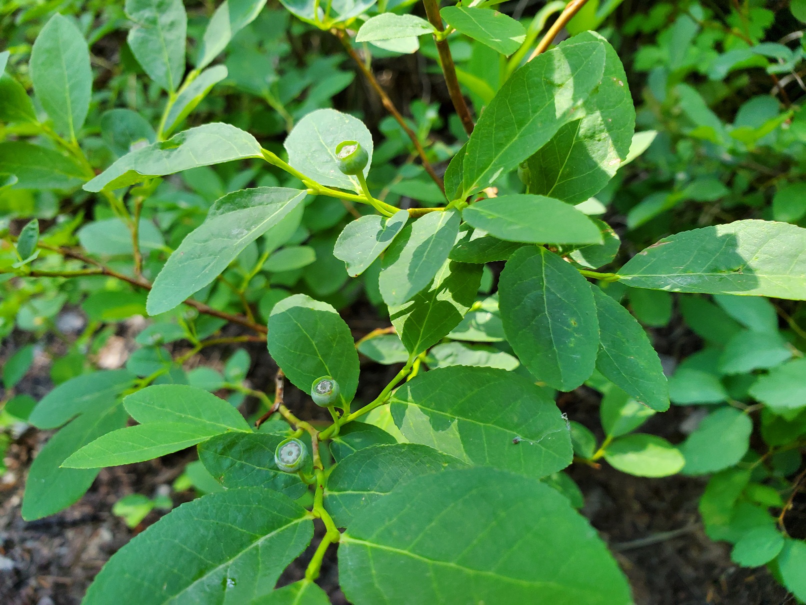
With the peaks of the Divide on my left and meadows and small lakes ahead I let gravity assist my downhill progress northbound. I was not feeling my best, though. However, the day off from the trail was an excellent mental break, and I viewed this part of the CDT with enthusiasm. Getting a good look at a mule deer helped, and meeting day hikers was nice. It was Sunday and trail users ranged from hikers to ATV users. During a short rest I noticed a huckleberry bush with tiny, green berries. In a month or so bears will come here to feed on the berries. For now, I was happy to have no bear encounters.
I have been very careful storing my food at night. I have an Ursack that is designed to prevent a bear from getting at the food, although the contents might be crushed beyond recognition. The purpose is to avoid bear from becoming habituated to human food. Grizzlies can’t climb trees, so the best storage technique is to get the bag above the ground.
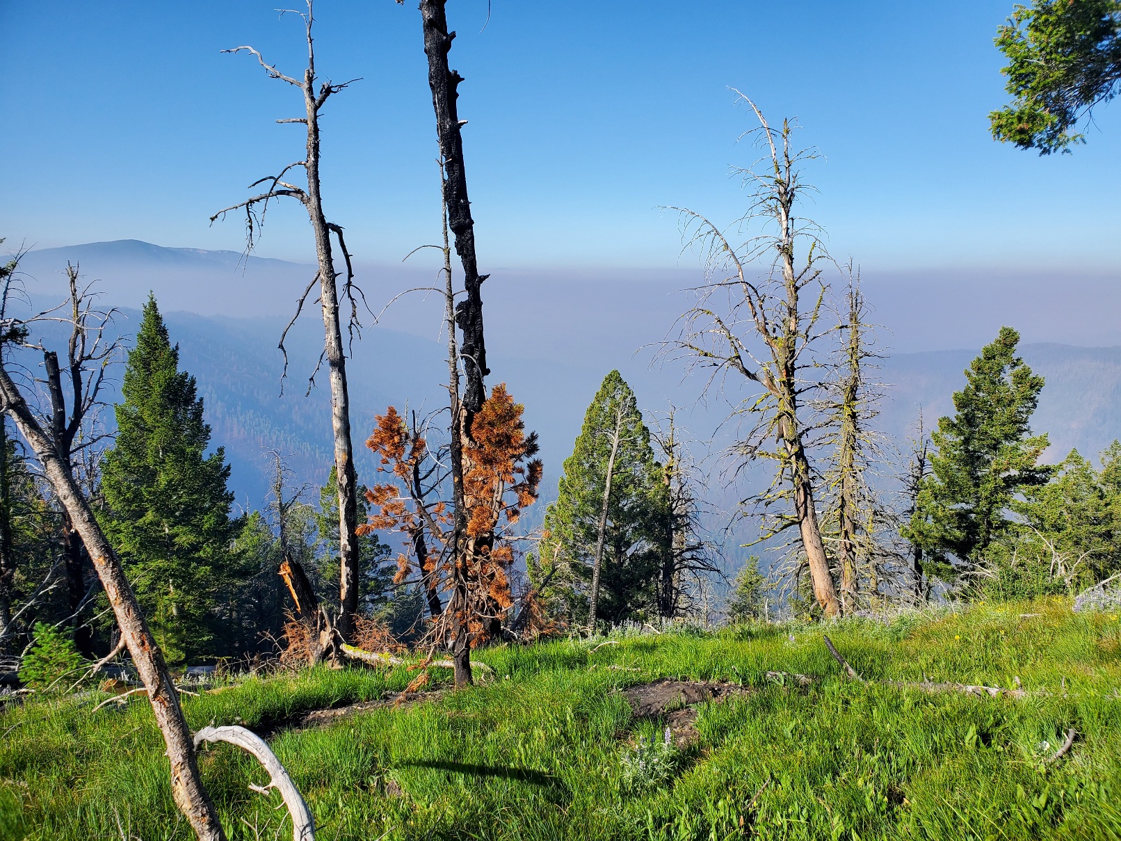
I became concerned about the air, which turned smoky even to the point of casting a reddish hue on almost everything. A day-hiker told me a fire started northwest of Salmon, the town I would go to within a couple of days. Yikes! I could see the plume of smoke rising at times, and a look into a GPS map app confirmed what the hiker told me.
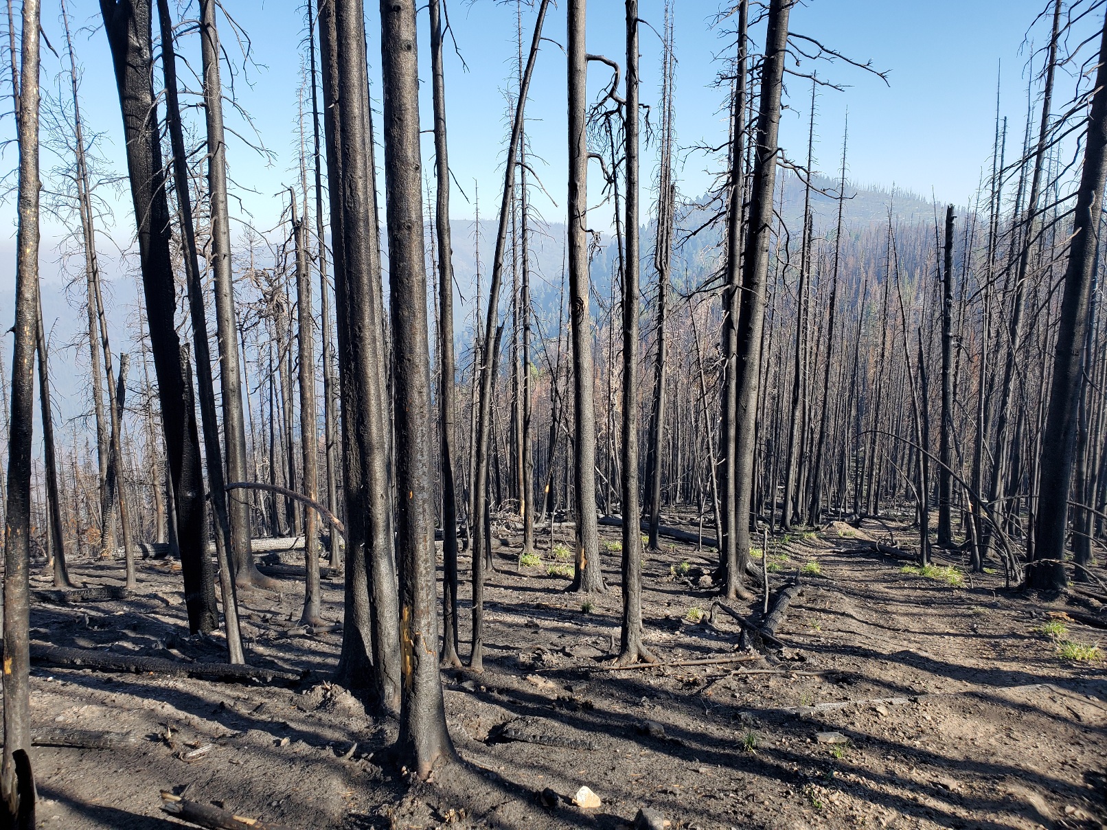
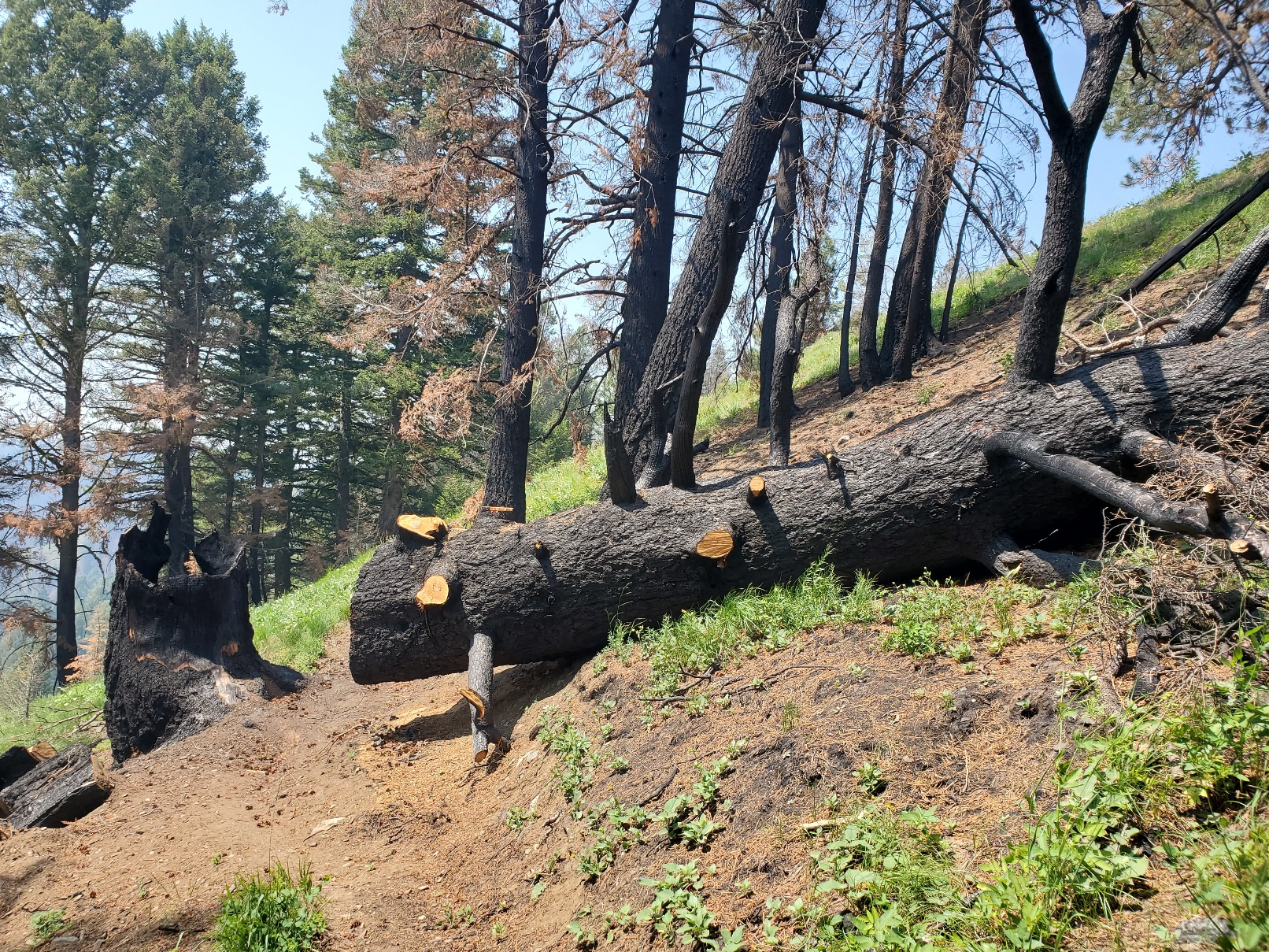
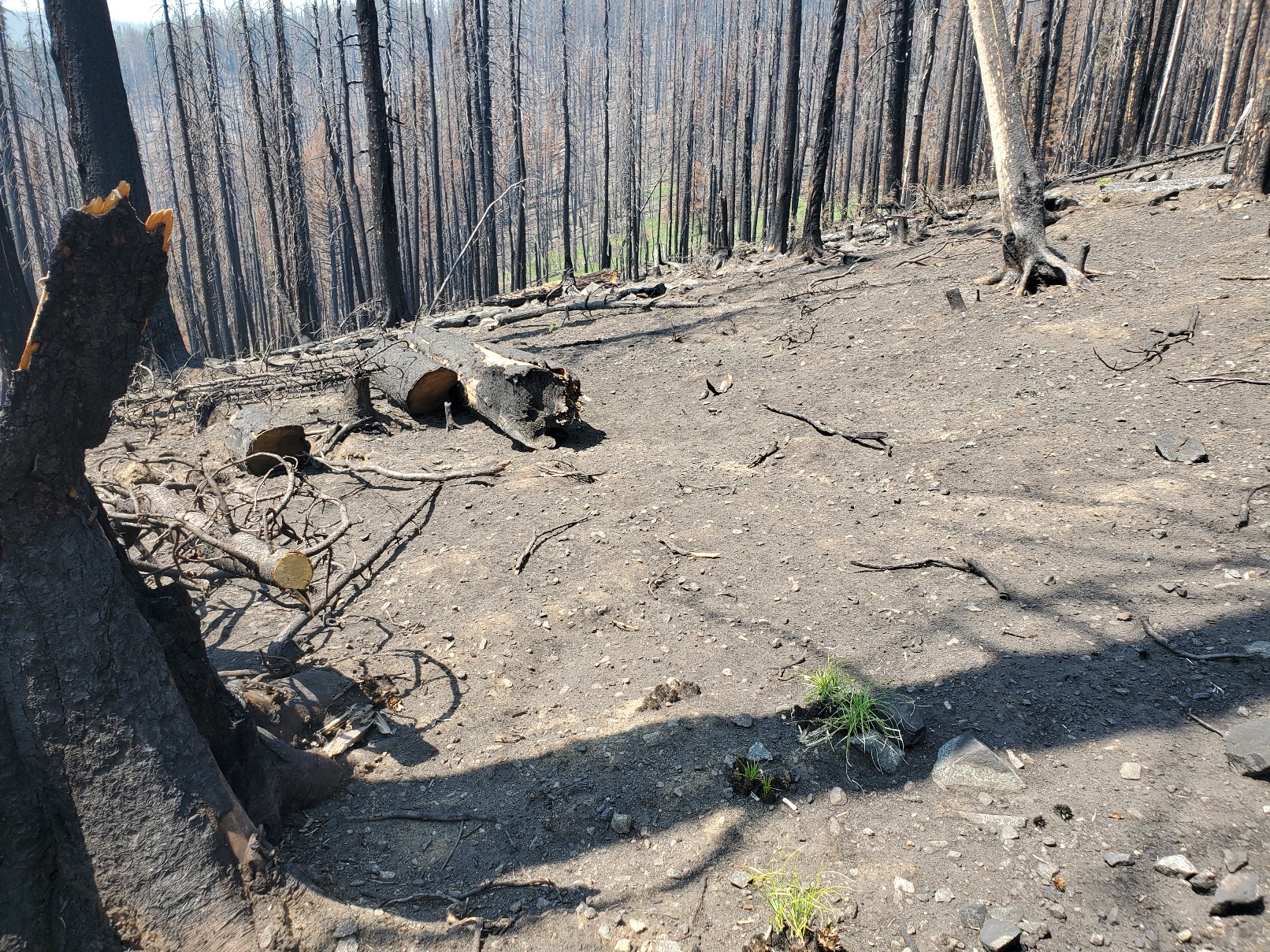
Moreover, the trail beyond Big Hole Pass is affected by several large burned areas. Wildfires are always a significant concern, but in the past decade or two the fires have become more severe. The extended drought in the mountain west has left trees compromised with bark beetles, weakened roots and tinder dry conditions. In the burned areas I observed the stark contrast with the greener, healthier areas I walked through. In some places the forest floor was nearly devoid of any vegetation. Some beargrass and lupin have managed to survive a sparse existence among mostly barren land. A huge, old growth tree burned and toppled to the ground. Trail crews cut the trunk to clear the path for hikers. The diameter of the trunk was greater than the length of my trekking pole.
Life still does exist even in among the dead trees. While resting on a rare and tiny patch of green ground cover that was spared from the recent fire I noticed a woodpecker doing its work on the blackened remnants of the standing trees above me. I used my smartphone to record this sign of life, which I appreciated while eating nuts and dried fruit.
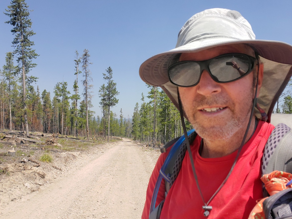
The area between Big Hole Pass and Chief Joseph Pass was hot, steep and a challenge to hike on a hot, low humidity day with the not-so-subtle hints of wildfire smoke entering my respiratory system. I committed to reaching Chief Joseph Pass late that afternoon so I could hitch a ride and sleep on a bed in Salmon rather than under the smoky sky of the Continental Divide. I did it, and it was fun despite the discouraging environment of climate change. Hike on!

Thanks for sharing, any new updates?
Not doing so well on posting to you this time Love your adventures love to hear from you. You are still doing so very well . You will probably be still doing this when you are eighty. Love hearing from you