June 3, 2025, by Roger Carpenter / Greg in Wild
Manitowoc is a smallish but busy industrial and port city. The vehicles on the streets of a light-industrial park were driven by workers getting to their jobs at 8 a.m. As I approached an intersection, I nearly jumped out of my Topos when the driver of a Mustang pressed hard on the gas pedal and accelerated to what looked like 60 but sounded like 100. I kept walking. A bicycle passed me, and I glanced at the young man quietly riding to work. “Happy trails!” he said to me before turning down another street. Thus, I began my walk through Manitowoc on a positive note.
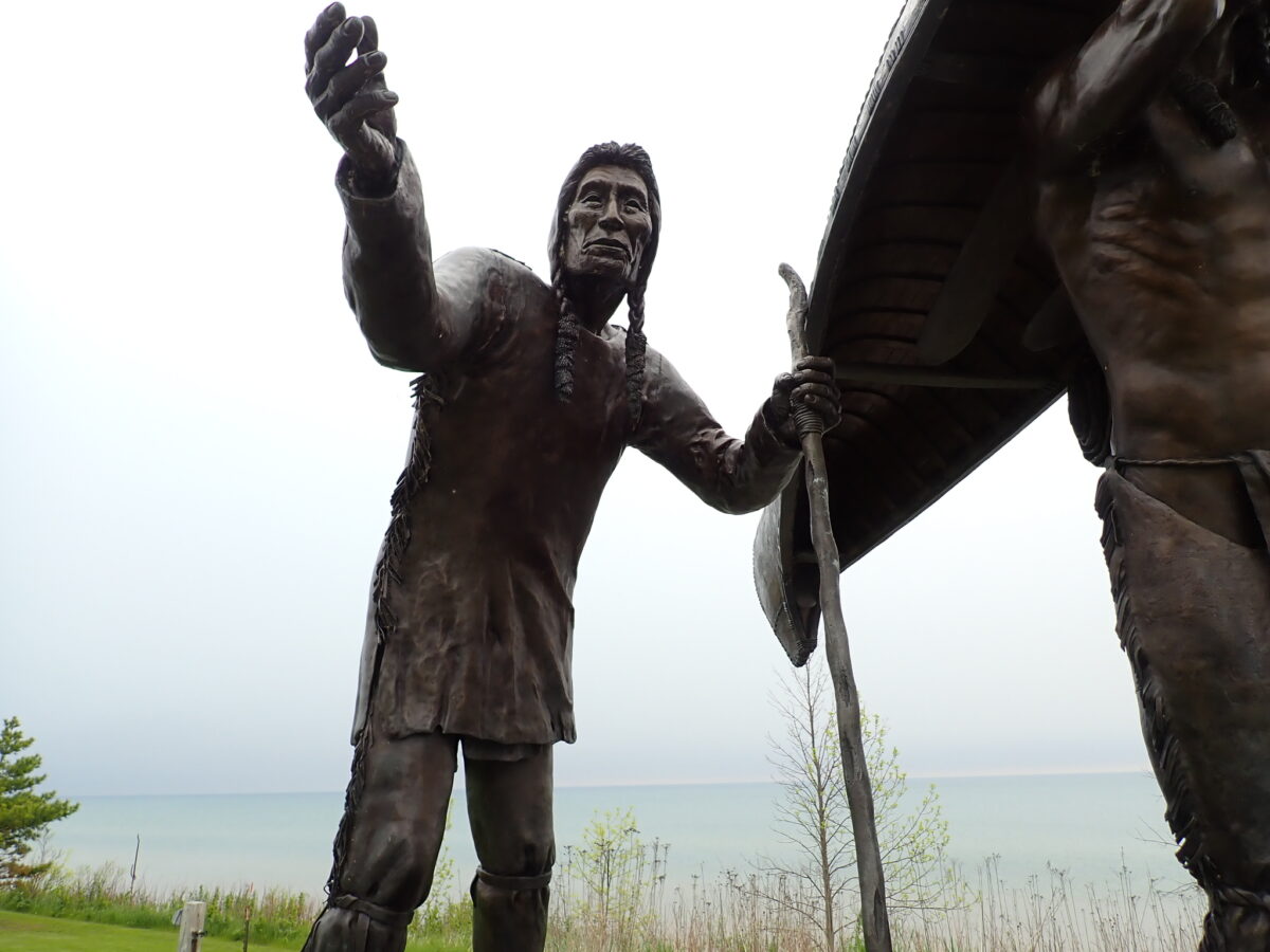
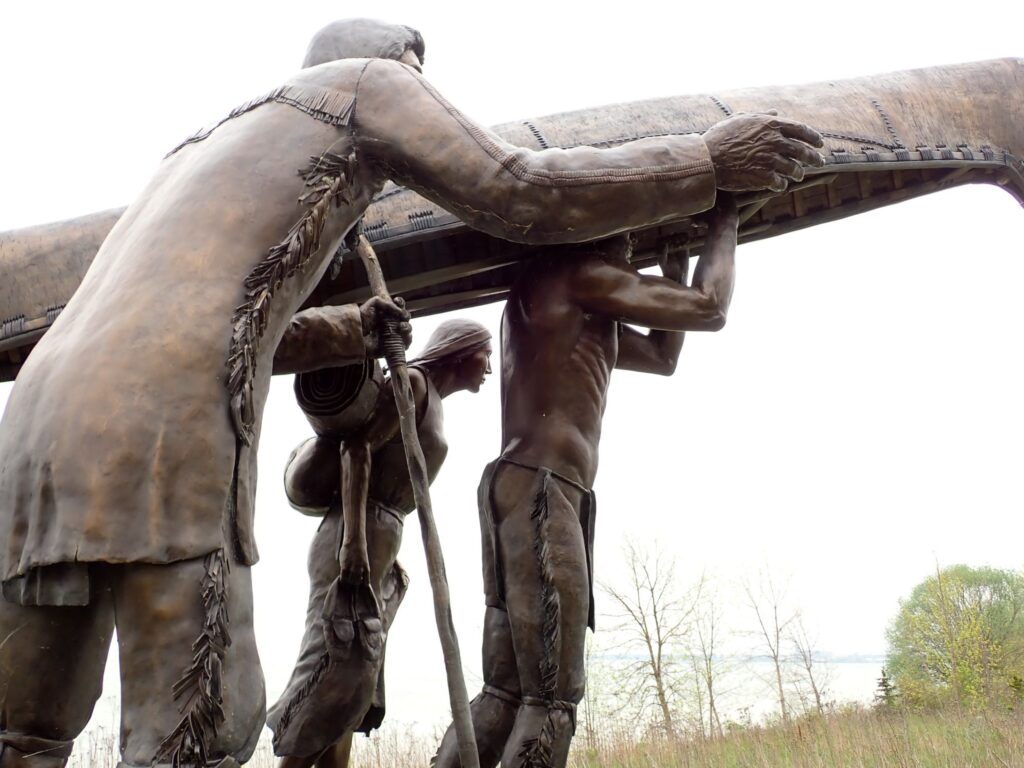
The IAT route through Manitowoc includes a leafy residential neighborhood where lovely, brick homes are framed with well-manicured lawns. Many of the towns along the IAT have this pleasing look and feel of small-town Midwest Americana. I stopped to rest in a city park before continuing to the lakefront. The vertical yellow blazes guided me to the Mariner Trail, which is essentially a sidewalk along the lakefront between Manitowoc and Two Rivers. To be clear, the sight of Lake Michigan is exciting because just over 100 miles remain on my hike. But, as I am more of a mountains man, I do not get carried away at the sight of large body of water. Just north of Manitowoc, it was the Spirit of the Rivers sculpture that captured my attention. The sculpture portrays three Native Americans, including one woman and two men, with one man holding a canoe above his head. The three figures, with facial expressions shown in fine detail, were mesmerizing. This is the land of the Menominee, Ojibwa, Ottawa, and Potawatomi.
In Two Rivers, I picked up my last supply parcel at the post office. I was impressed with the city as a trail town because it had a nice hotel, post office, brewpub, and a Piggy Wiggly grocery store, all within a reasonable walking distance. The Brewery is named Cool City, presumably because the ice cream sundae was invented in Two Rivers. The beer AND the ice cream were very tasty. During the zero day in Two Rivers on May 31, I carefully reviewed the maps and trail data in the FarOut app to create a plan for finishing the remaining 101 miles of the IAT. I considered potential campsites, water sources not polluted by agricultural chemicals, and the miles per day I felt I could do. The terrain leading to the Eastern Terminus was very flat, and I knew I could exceed well over 20 miles per day. Lastly, because I enjoyed camping so much, I chose to avoid sleeping in hotels in the towns I would pass through. My decision was to hike 8 miles to Point Beach on June 1 and hike the remaining 93 miles in four days, leading to June 5.
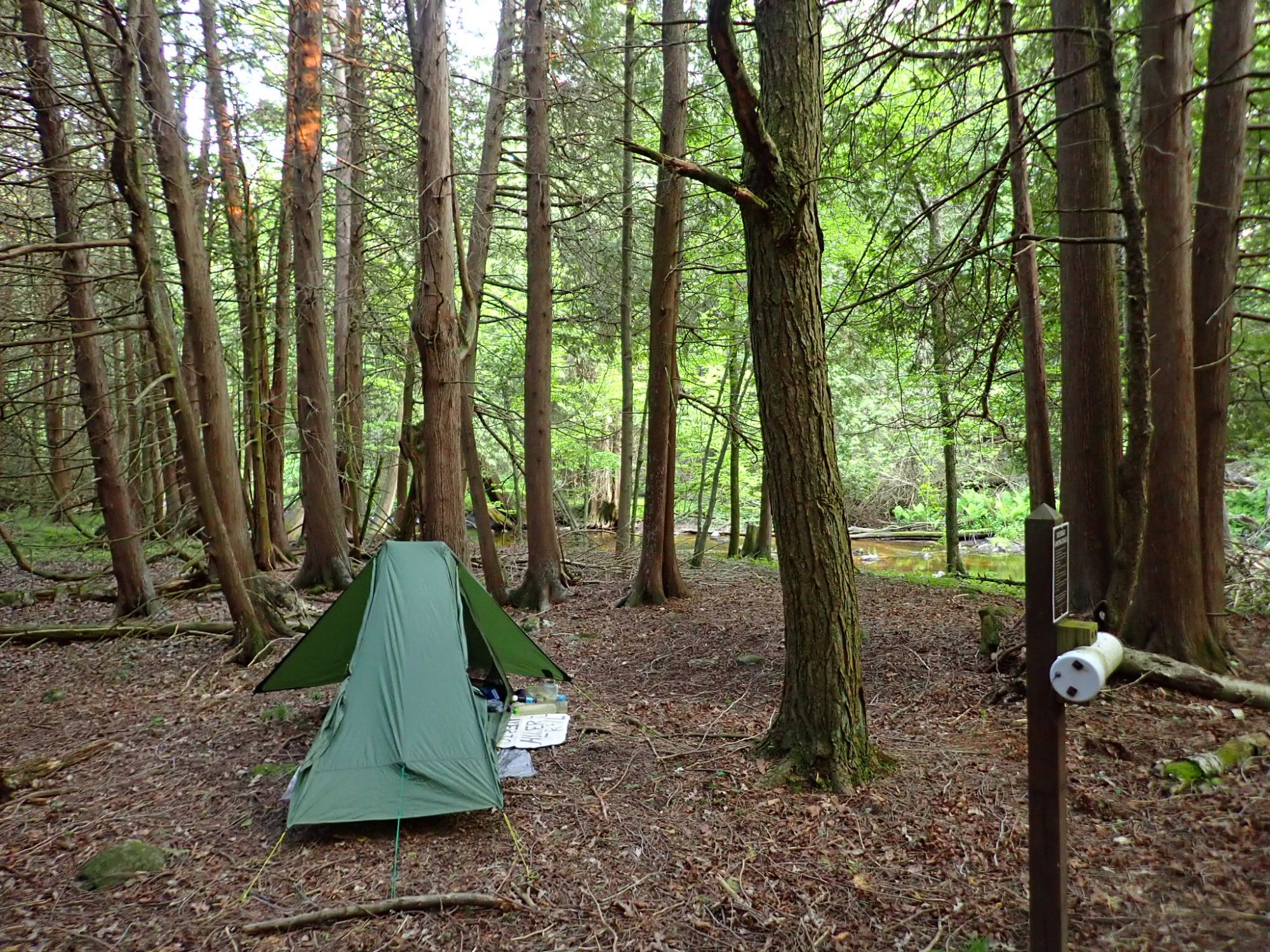
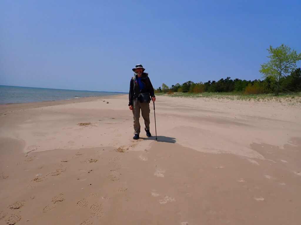
On June 1, I departed from Two Rivers for the short hike along the shore of Lake Michigan, much of it on the sand. At Point Beach, I camped at a site along the Ice Age Trail and just 100 feet from the beach. The weather was perfect that afternoon as I walked on sand and cooled by the slightest of onshore breezes. This part of the IAT is unique among the four national scenic trails I have now hiked.
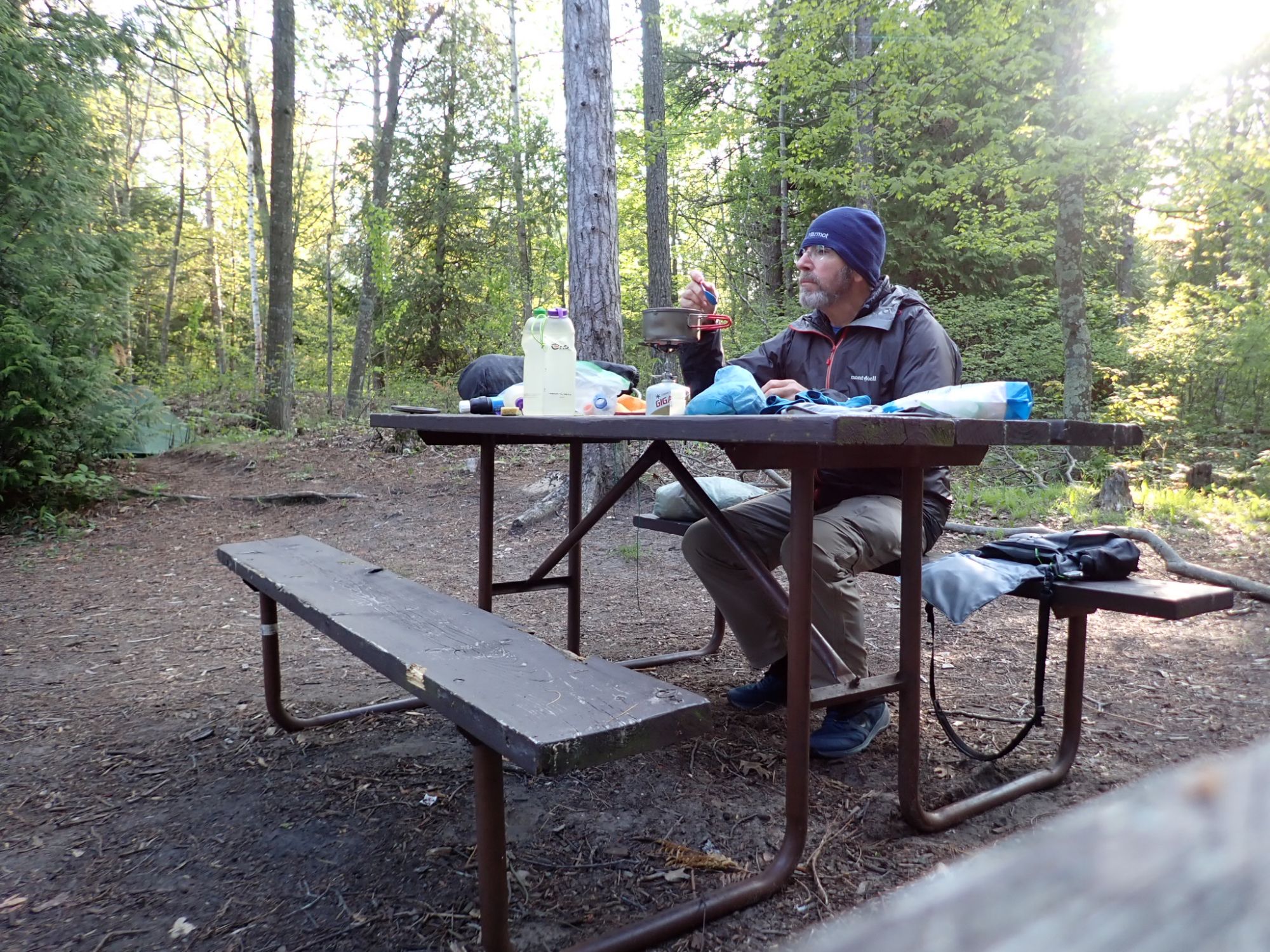
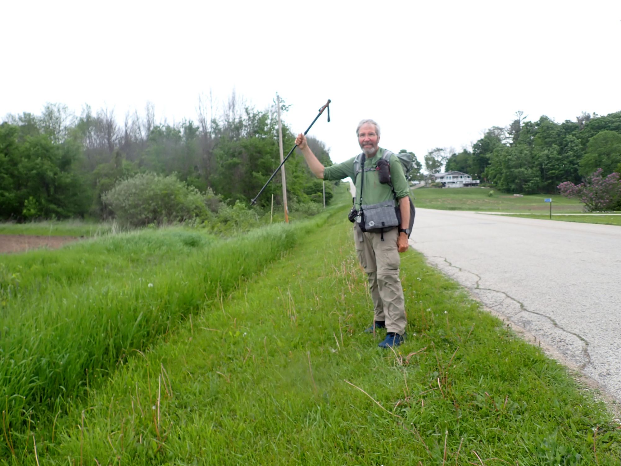
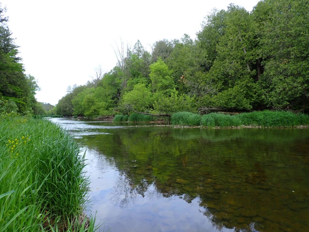
Beyond Point Beach, with 93 miles remaining, I faced a long roadwalk, a few brief segments through buggy meadows and forests, the edges of farm field, and an extensive walk along the Kewaunee River on a very flat rail to trail (R2T) known as the Ahnapee Trail. The highlight occurred on June 2 while walking on the shoulder of a road. I watched in awe a Bald Eagle soaring above tbe East Twin River. Below are a few photos. Needless to say, the anticipation of the finish was building! After making camp near the Kewaunee River on June 3, only 47 miles and two days remained.
Hike on!