
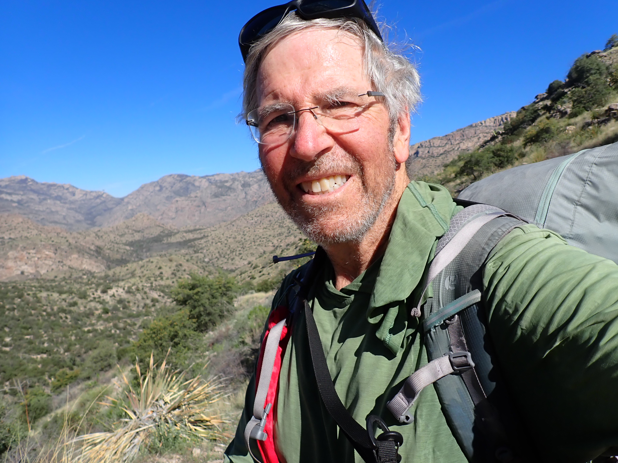
Santa Catalina Mountains and Mt. Lemmon, by Roger Carpenter / Greg in Wild
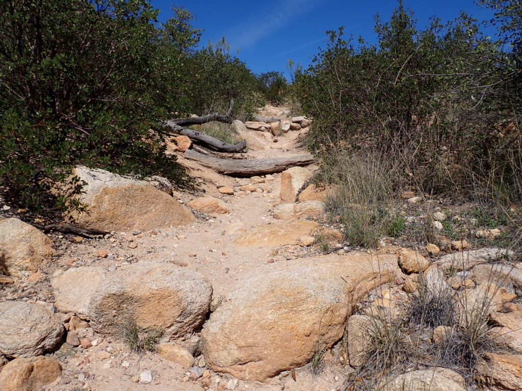
Another day of record high temperature was forecast on March 18. At least most of the miles would be downhill and below the 8,600-foot summit of Mica Mountain. Heading north, with the sunrise to my right, I stepped carefully on a trail that had not received much maintenance as far as I could tell. But I wanted to cover 17 miles, which would enable me to reach my next resupply town, Summerhaven, near the top of Mt. Lemmon, in three days.
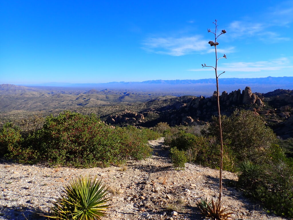
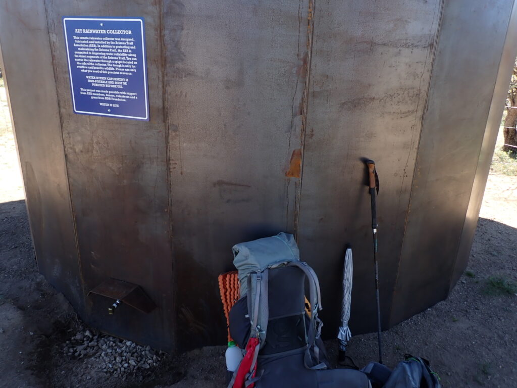
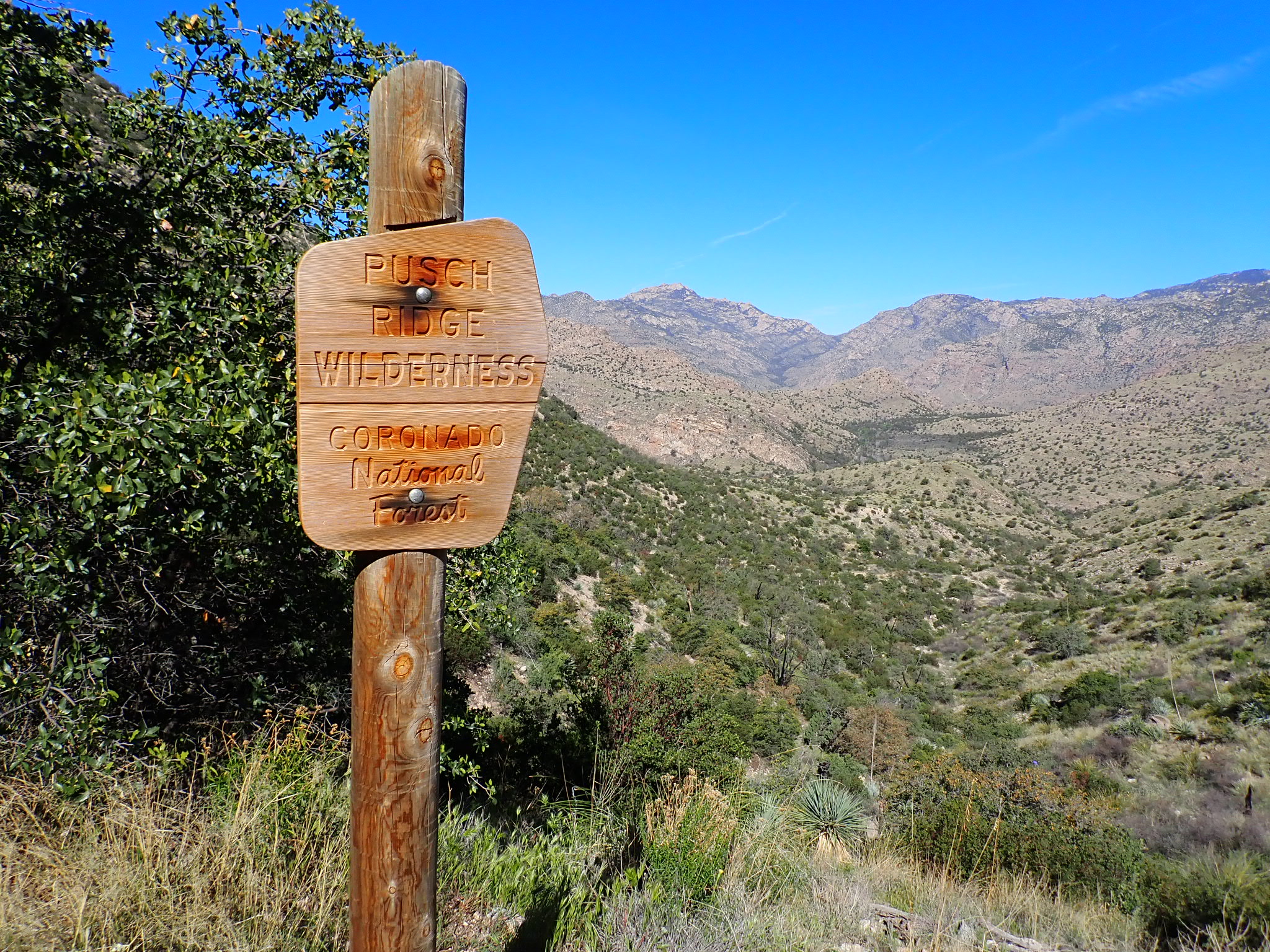
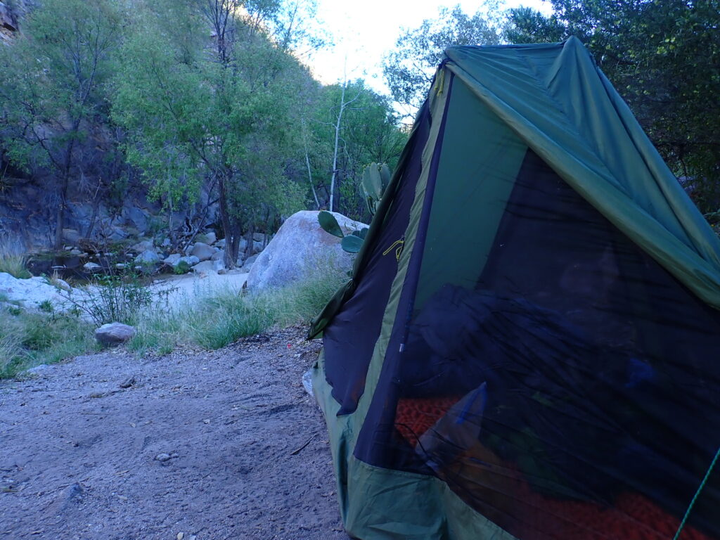
I hiked 18 miles on March 18, the most daily miles so far. The umbrella was a necessity! I continued on March 19 into the West Fork Sabina Canyon, where I looked forward to the shady creek the hikers described on the FarOut app. Water, shade, a campsite, and my lauchpad for climbing up to the Mt Lemmon and Summerhaven area.
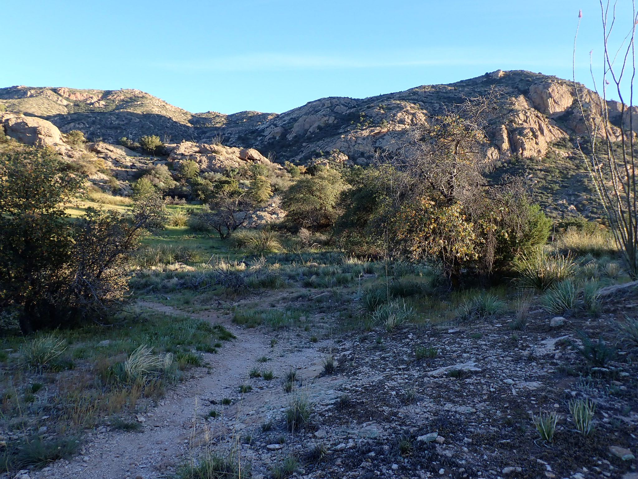
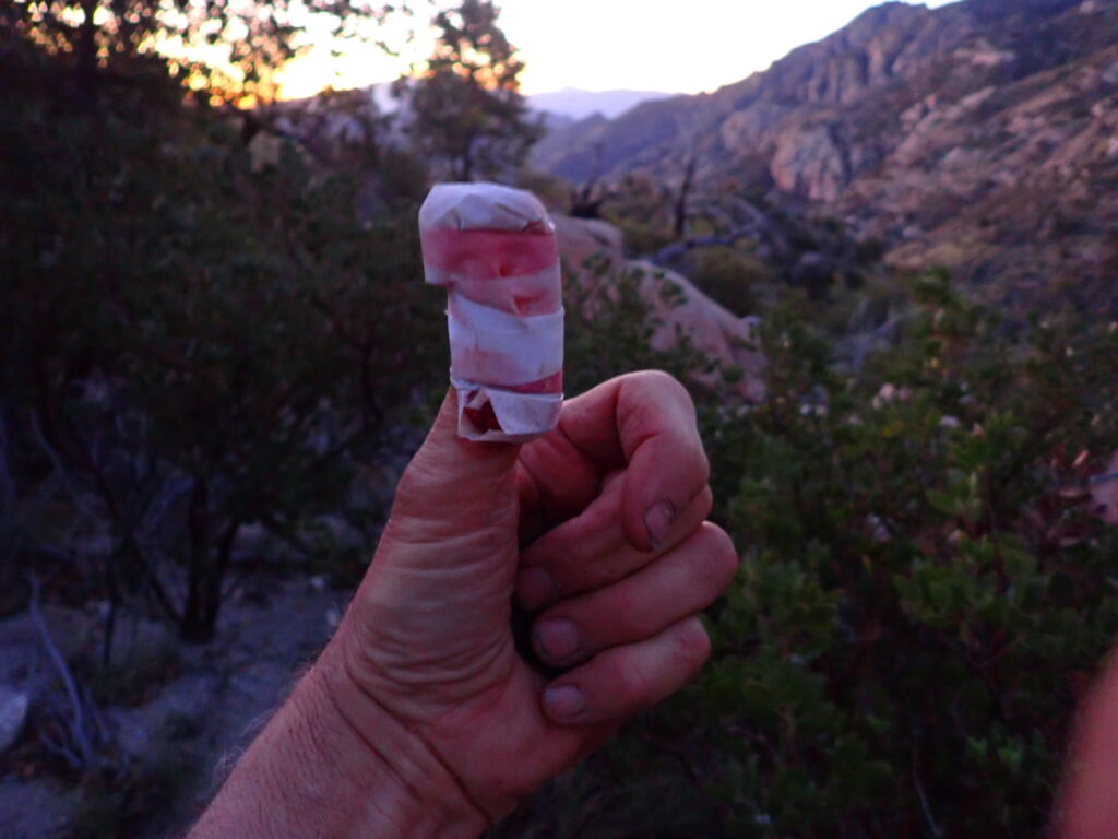
I woke at 2 a.m. on March 20 to ensure I reached Summerhaven in the early afternoon. But 0.1 mile after I began, and feeling a bit wobbly from my deep sleep, I slipped on a small washout on the trail, fell on my back while gripping my trekking poles tightly. The only damage done was where a sharp, spiny branch cut into my thumb. I immediately cleaned what appeared to be a laceration, applied a big gauze pad and taped it to stop the bleeding. “Better wake up Greg! A mile back the injury would have been much worse!” I thought.
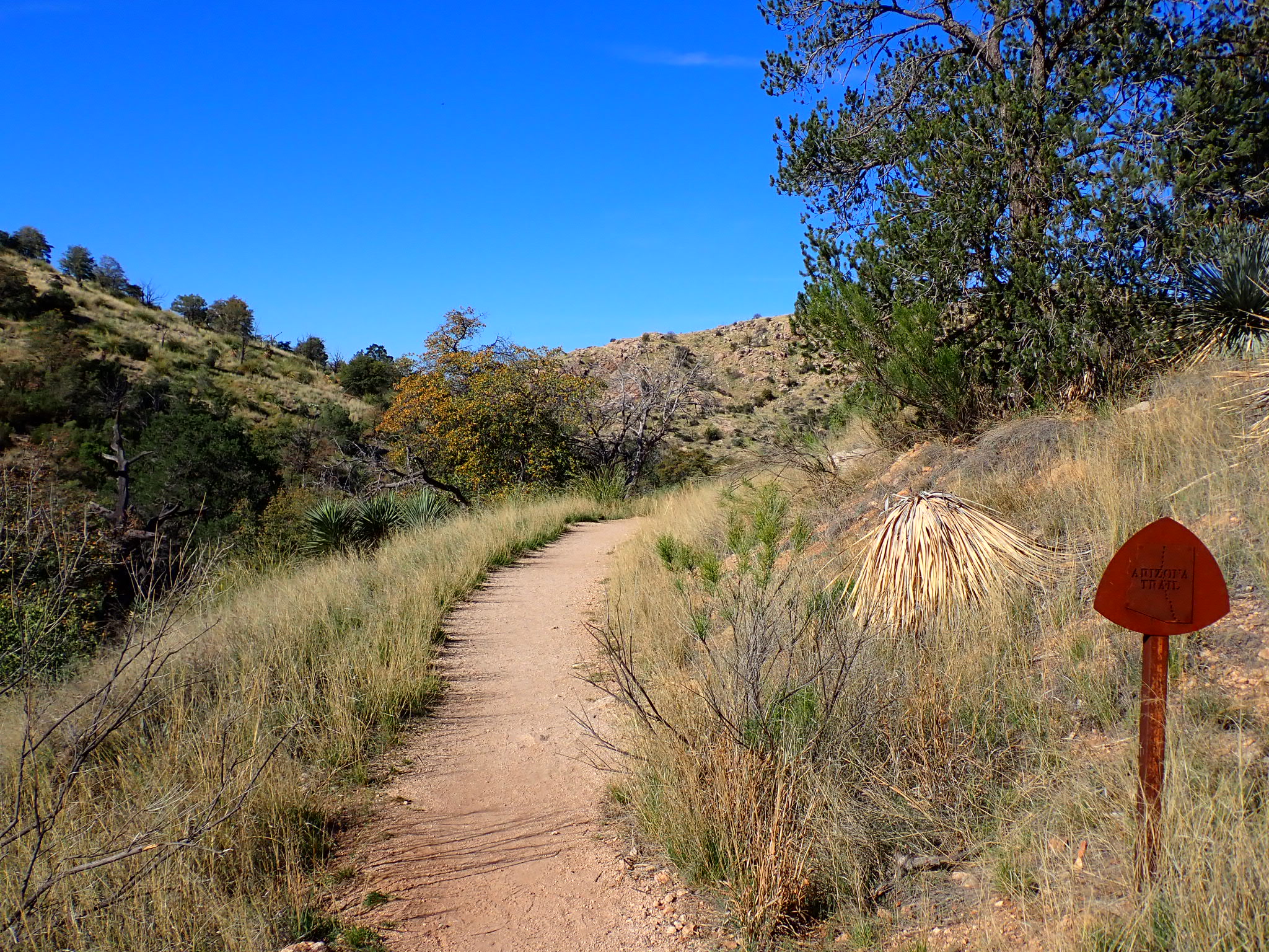
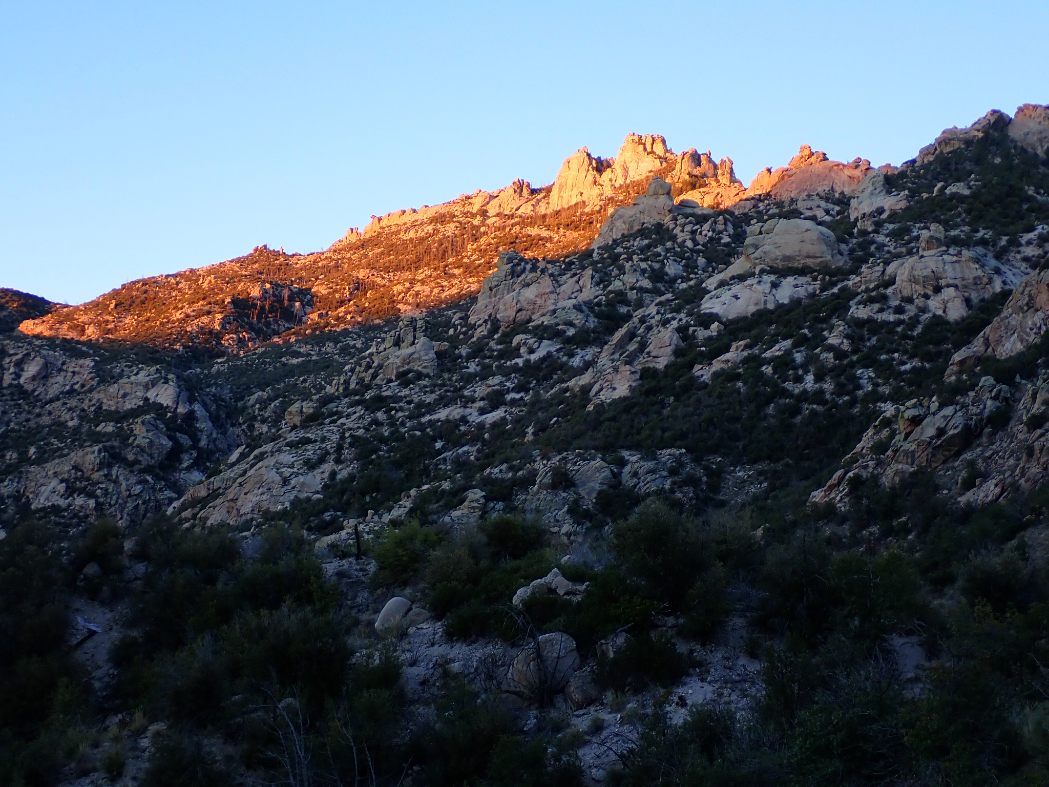
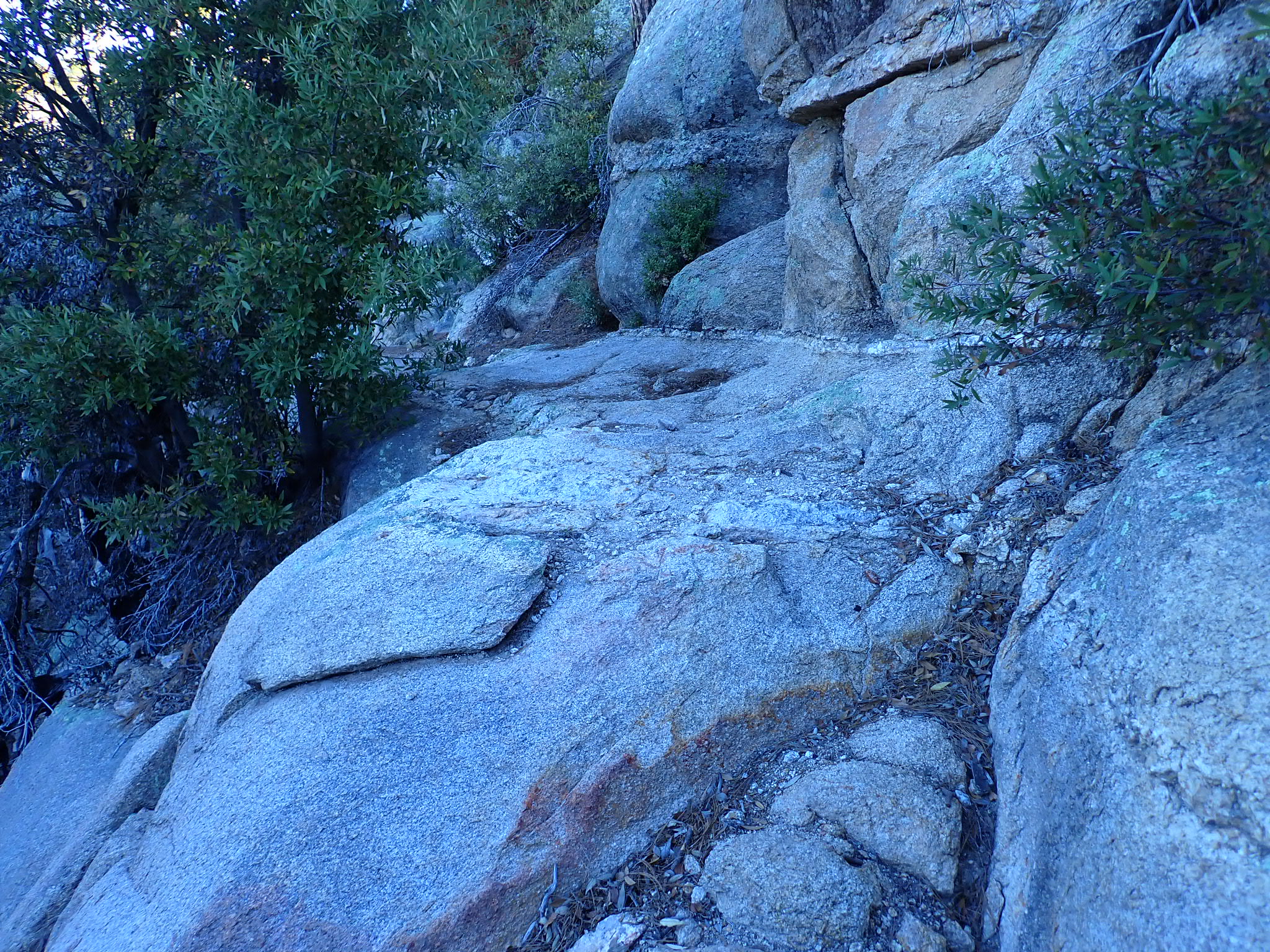
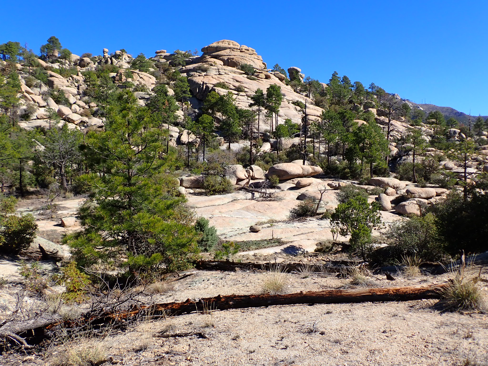
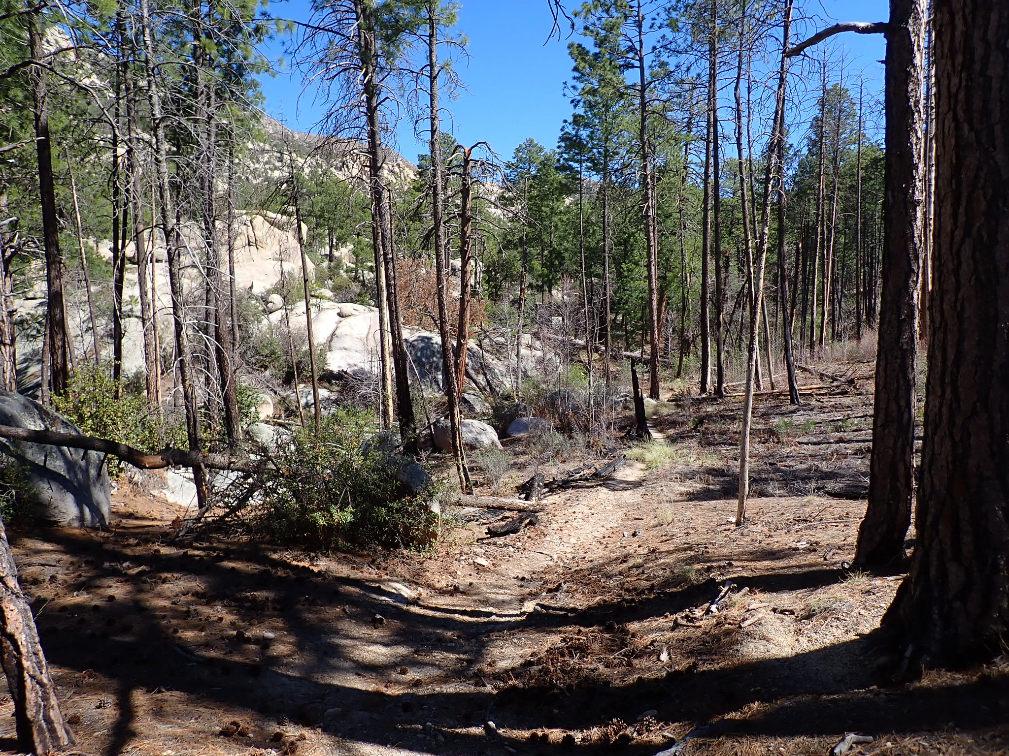
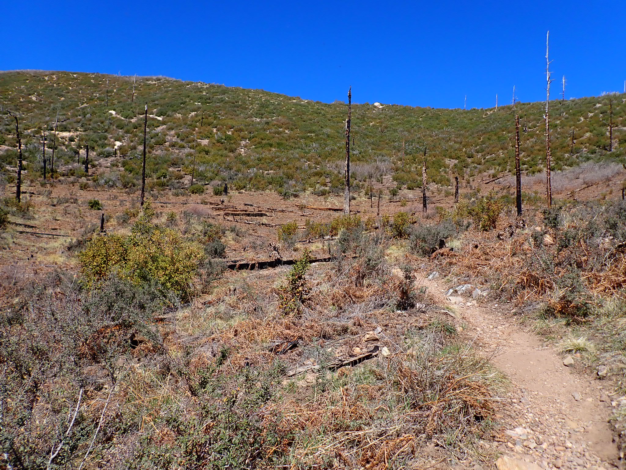
I continued the 5,000-foot climb in darkness at first. In daylight I encountered steep scree trail, rocks and boulders, downed trees, emerging heat, and eventually the display of rock formations that were comparable to the Sierra Nevada. Amazing! I had to persist in the hot conditions above 7,000 feet elevation, though. Little canyons had refreshing pools of water in the shade. I demanded rest and cooling breaks, the best defense against dehydration and heat exhaustion. Kind local Backpackers and day hikers offered advice and encouragement as I navigated the trail that often faded away after stepping over and around boulders in “Wilderness of Rocks. “
I made it to Summerhaven after hiking 13 miles and climbing 5200 feet. This is mile 184. I knew the AZT hike would be hard, and the heat made it even harder. A new plan is in the works!
“Life should not be a journey to the grave with the intention of arriving safely in a pretty and well preserved body, but rather to skid in broadside in a cloud of smoke, thoroughly used up, totally worn out, and loudly proclaiming ‘Wow! What a Ride!” – borrowed from a post by one of the hikers I met in 2025 on the Ice Age Trail, Mike Campos
Check my real-time location any time: https://share.garmin.com/RogerCarpenter
Also…Wildlife standings are coming soon. Hint: turkey, deer and rabbits are dominating so far!
Such a hard year to do the desert.