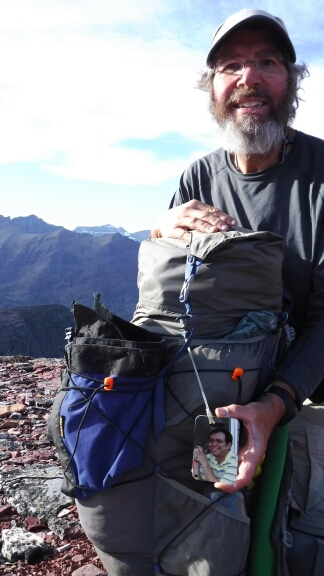
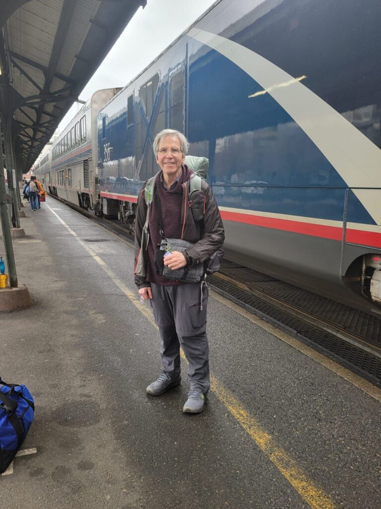
I entered a post on my blog in July 2024 after exiting the Pacific Northwest Trail (PNT) on just the seventh day. I did not make that decision lightly. On a steep climb just west of Glacier National Park, my pace slowed to a crawl, intense fatigue set in, and all I wanted to do was stop. I wrote about it here
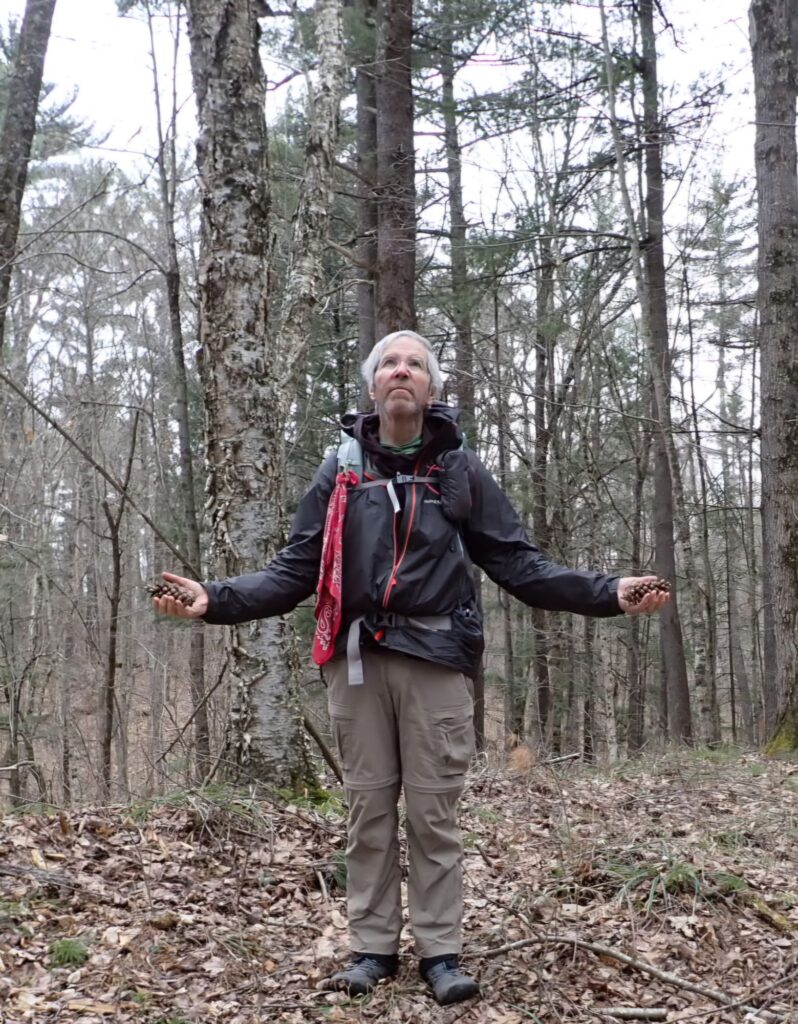
To be sufficiently fit to go on long hikes, I am training at a gym to improve my cardio fitness and overall strength with weights and strenuous mat Pilates. I lost weight, too, Yoga continues to be an important part of my overall fitness regimen. Like before, I hike on trails in the neighborhood where Cindy and I live.
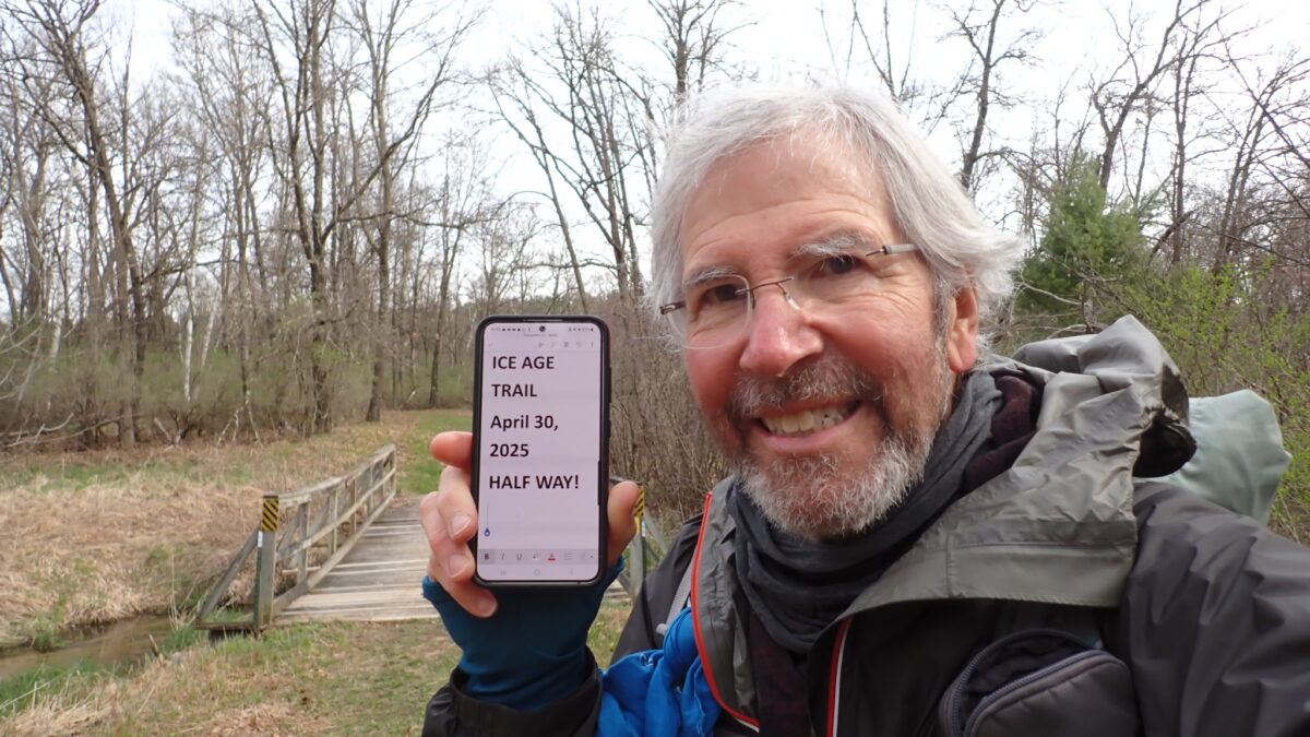
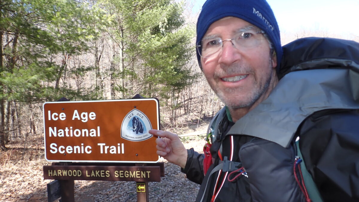
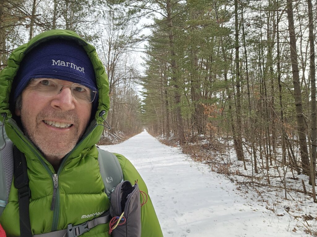
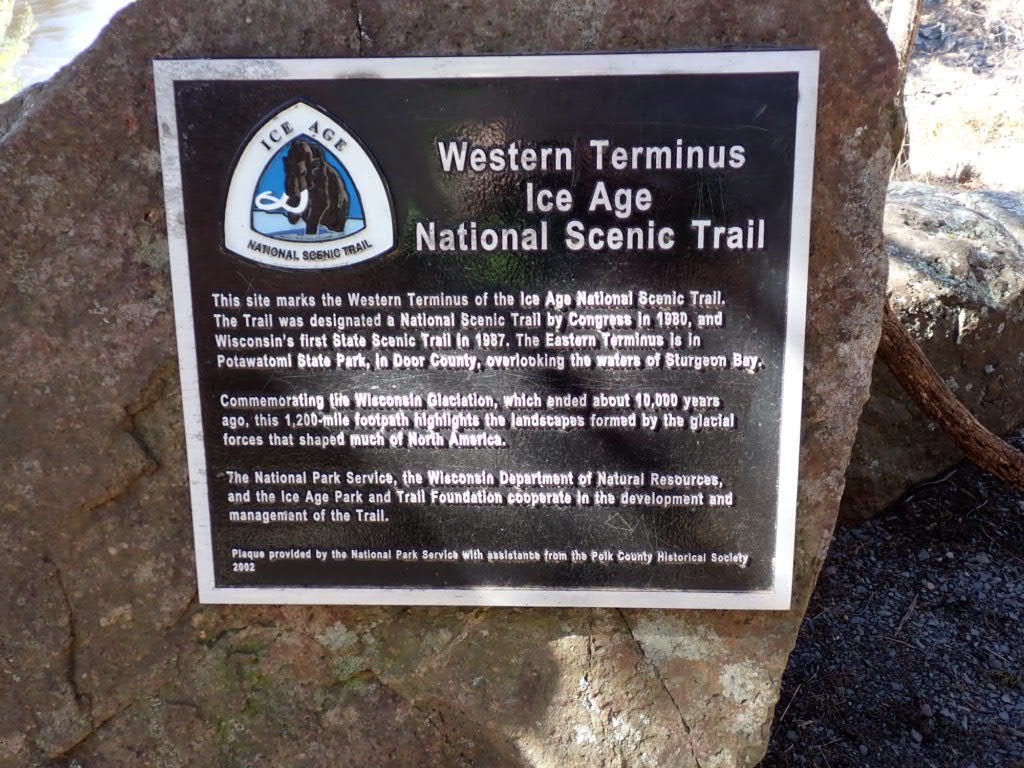
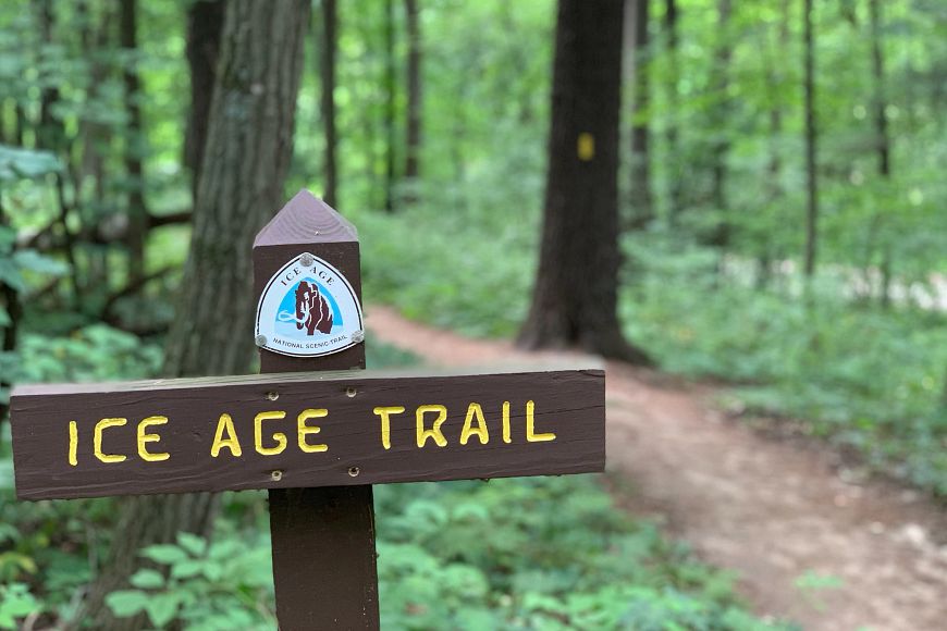
Day 1 on the Ice Age National Scenic Trail (IAT) will be on March 24, 2025! Enthusiasm and optimism are just two little ways to describe how I feel about starting another thru-hike. It’s earlier in the year when most people hike the IAT. But the cold weather will give my journey an edge: cold and snow is possible, but less buggy (mosquitos, ticks, etc)…until May, I suppose. When I finish the hike in early June, the heat and humidity might show up. But April and May will be a great time to see the forests and wildlife come alive.
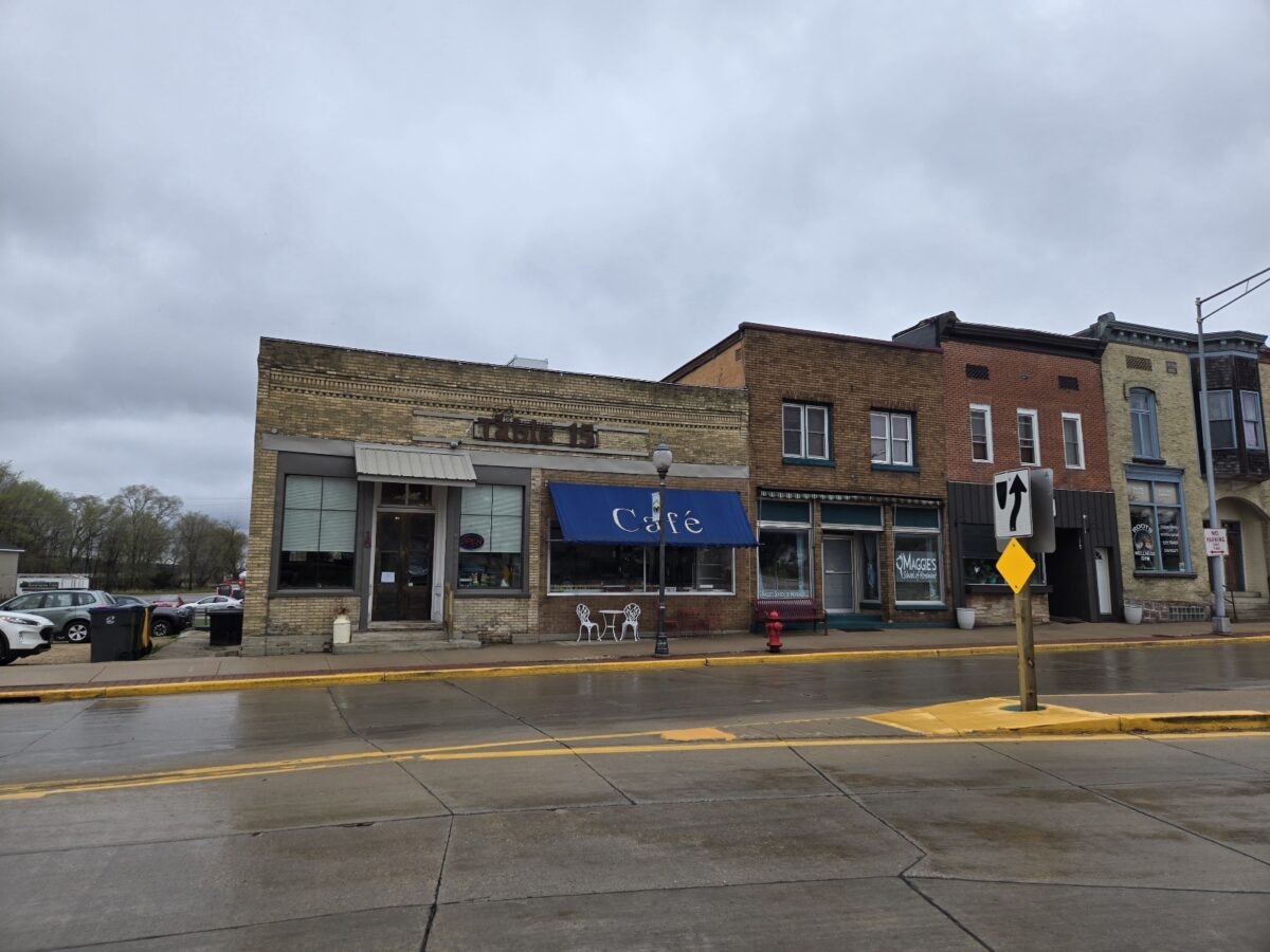
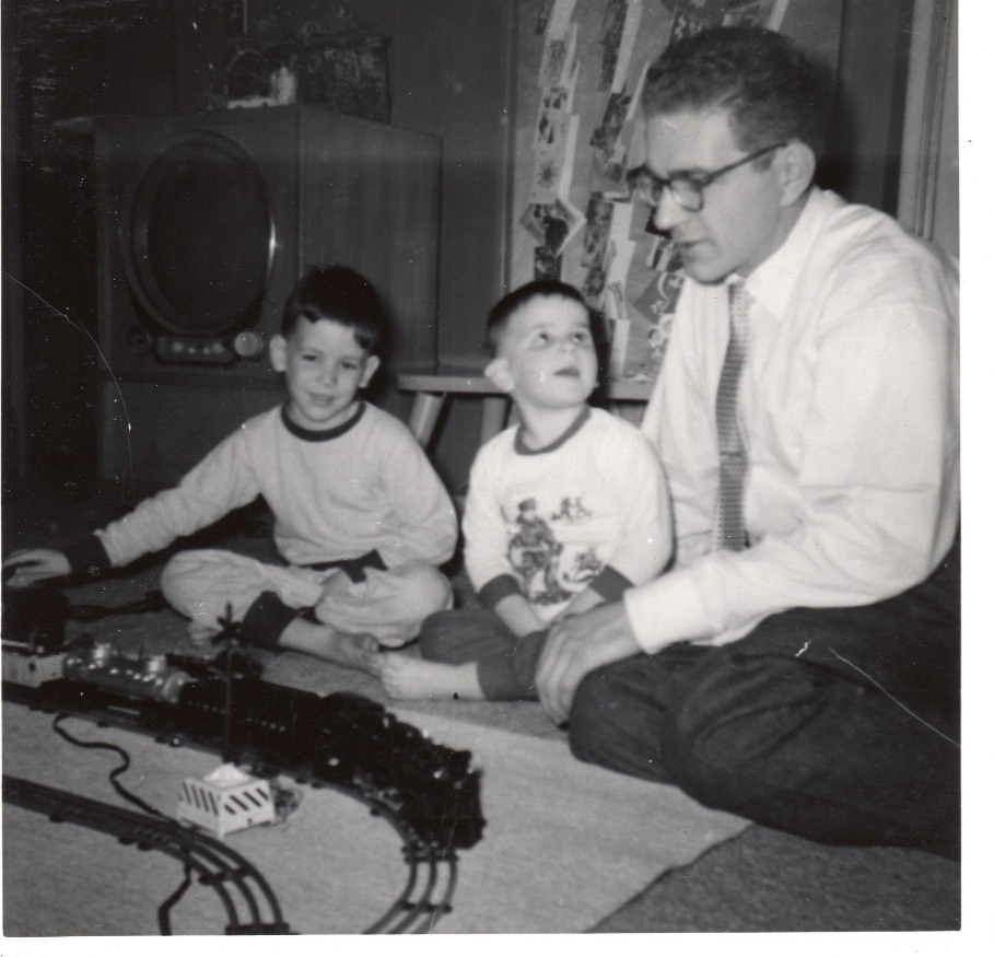
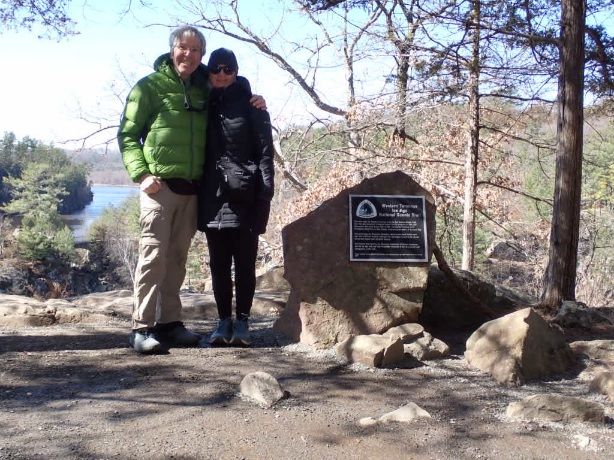
I have family roots in Wisconsin. My grandmother was born there after her parents migrated from Europe to work in the forests of the Northwoods near Three Lakes. When I was just five years old, my family relocated to Janesville, a small industrial city in southern Wisconsin. I attended kindergarten and first grade in school buildings that still stand over 60 years later. The IAT is only a few city blocks from those school buildings and the city lot where our old house was. I will take that alternate route as I hike out of Janesville.
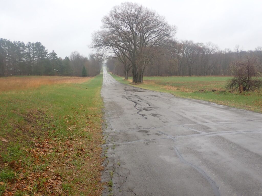
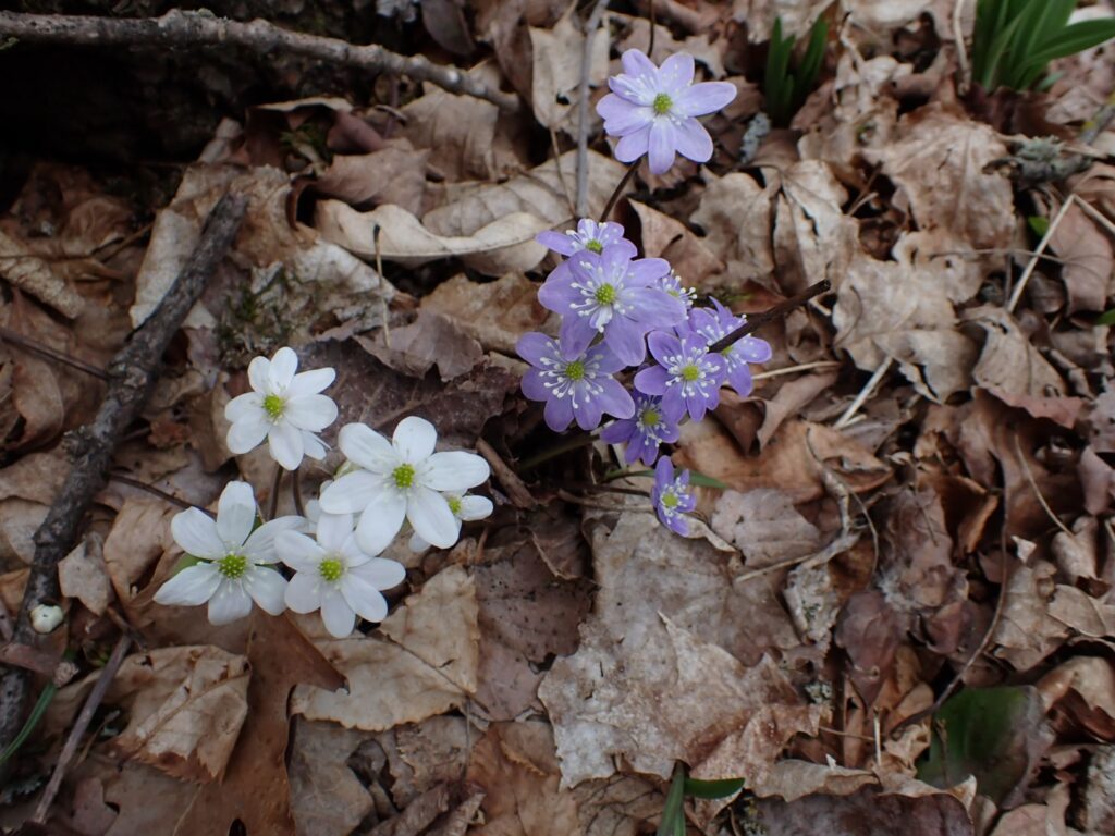
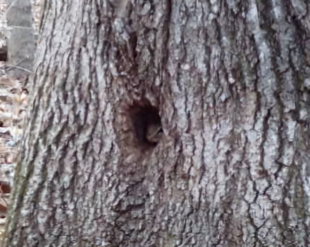
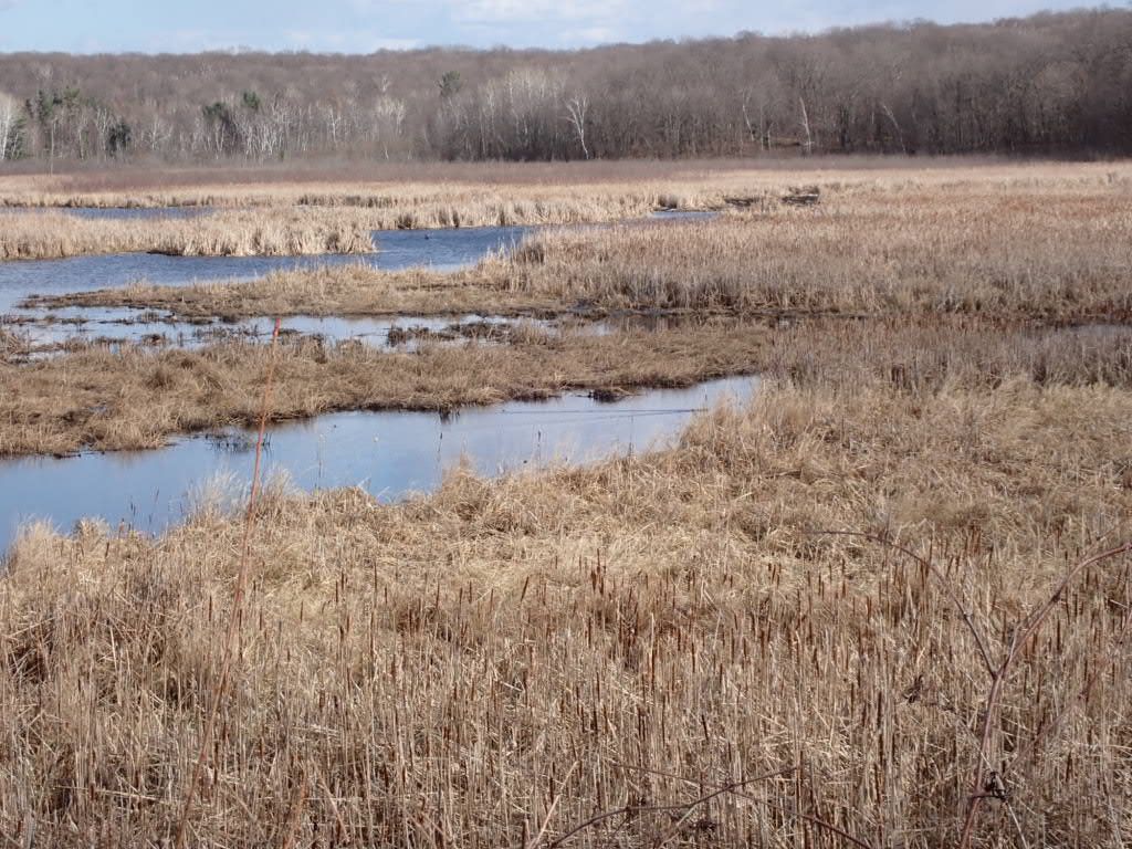
I will be looking for wildlife: bear, wolves, beavers, eagles, and more. I will meet the people of the towns the IAT passes through or nearby. I will enjoy hiking without the stress of high elevation (the highest point is a “hill” at 2,000 feet). Look for a celebratory photo on top of that one. The IAT might be less demanding than a high elevation trail, but I expect surprises in other ways. As always, I seek wild places to see, absorb and embrace.
Continue reading “Going to Wisconsin!”