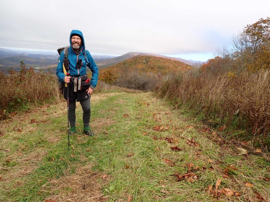
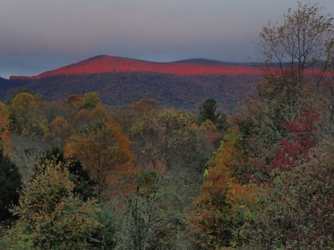
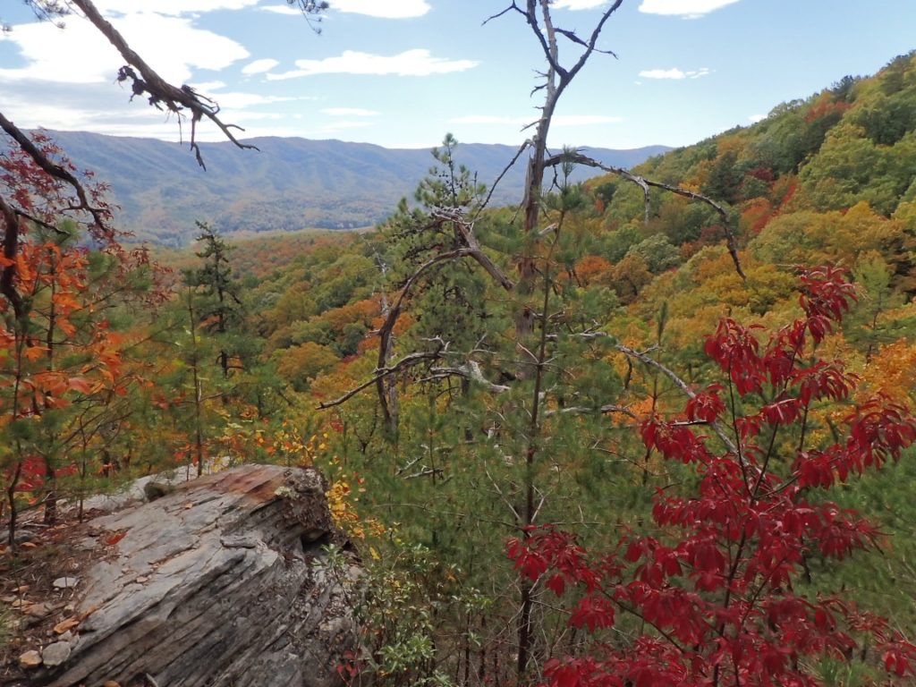
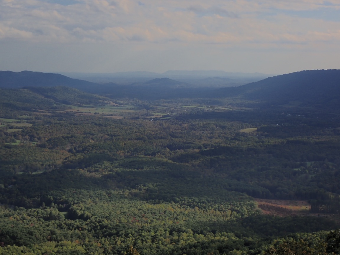
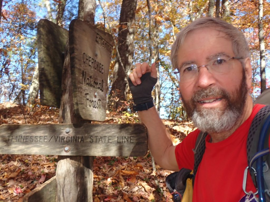
On November 9 I said goodbye to Virginia and hello to Tennessee on the Appalachian Trail. With no doubt Virginia gave me wonderful times on the trail and it was a little sad to leave it. The feeling will not last very long. At the end of the day the accumulated miles were 1737.4, and I have hiked 79.2% of the trail! Just 456 miles to the southern terminus at Springer Mountain, Georgia! I am healthy and hiking strong. On November 7, in a push to reach the town of Damascus one day earlier than planned, I hiked 28 miles by starting at 3:45am by headlamp and reaching a shelter at 6:00pm, again by headlamp. The daylight hours are going down and the pre-sunrise miles are routine now. The weather has been fantastic! Cold mornings are usually below freezing and the sun shining through the trees brings welcome warmth as high as 60 to 70 degrees. Rain is forecast for the evening of November 11, but after that much better.
Continue reading “November 9: Tennessee!”Tag: AT Thru-hike
Days 134-136, November 3-5: 75% of the way there!
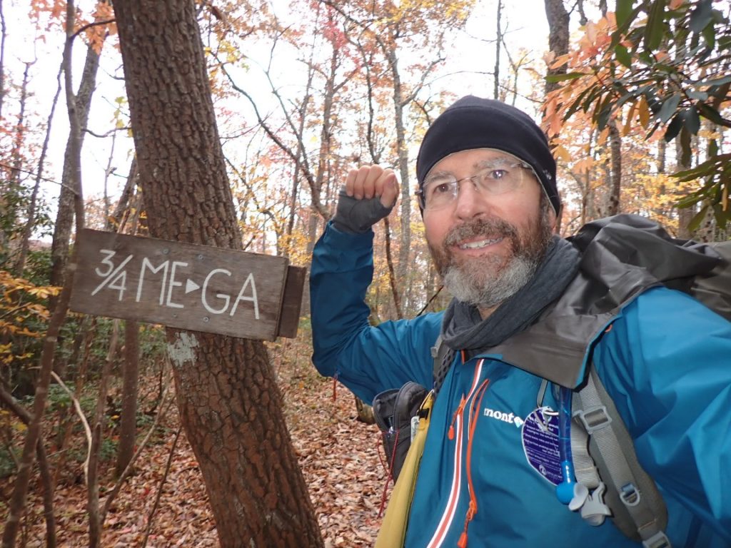
Where is “there?” Well, Springer Mountain, Georgia and the completion of the AT. On November 4 I walked past a sign that marked that milestone. Now it is up to me to hike the remaining 25%. Over 500 miles remains and I am determined to finish by December 15. The weather is getting colder, days much shorter now. For that reason I am going to cut back on the blog posts. In the evenings now it is more important to sleep and rest my body instead of typing text and uploading photos. I will continue to update the daily log, and you can track my hourly position on the InReach map. The links are below:
See my real-time location produced by the InReach unit I carry and a daily log of my progress on the trail.
If you are using Instagram or Facebook I will post a few photos when time and energy allow.
Day 142, November 1 on the AT: Another beautiful day in Virginia.
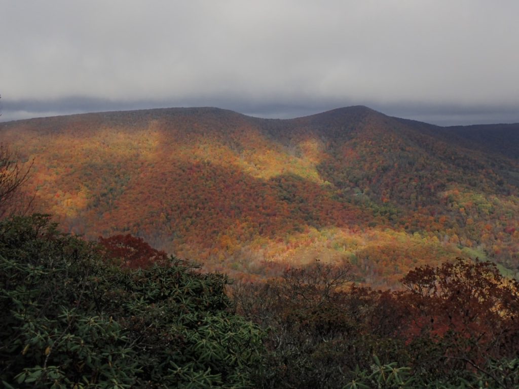
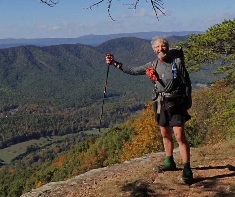
Virginia is the state with the most miles of all other 13 states along the Appalachian Trail. It continues to be very pleasant place to hike. The trail is not very steep in most places, although I am told that will change. The elevations will be higher as I continue southbound. I continue to be alone on the trail except for the occasional section hikers, who I enjoy talking to for breaks in the solitude. Today I arrived at the Weary Feet Hostel where I met a through hiker from Kentucky. He plans to hike for about one or two weeks. Because he is northbound and I am southbound we exchanged information about the trail and where to find water. The trail stays mostly on ridgetops where water cannot collect in ponds. Today there was 18 miles with no water along the trail, so I packed three liters when I left the Hostel in the morning. The photos, below, show why I enjoy hiking in Virginia so much!
Continue reading “Day 142, November 1 on the AT: Another beautiful day in Virginia.”Day 131, October 31 on the AT: Easy hike!
Leaving Woods Hole Hostel in drizzling rain was hard. But the rain stopped and I enjoyed an easy 15 mile green tunnel hike to the next Hostel, Weary Feet. And my feet were not too weary when I arrived! A hiker described to me recently the Triple Crown of Virginia hotels: Woods Hole, Weary Feet, and Bear Garden. The first two are very nice!
Day 131, 31-Oct. Milepost: 1582.9 miles, Daily: 15.3, Ascent: 1505′, Descent: 2935′, Highest: 4040′. Camp: Weary Feet Hostel 2035′. Easy hike is cool weather, 52 degrees in afternoon. Average on trail 2 mph, which is good for me.
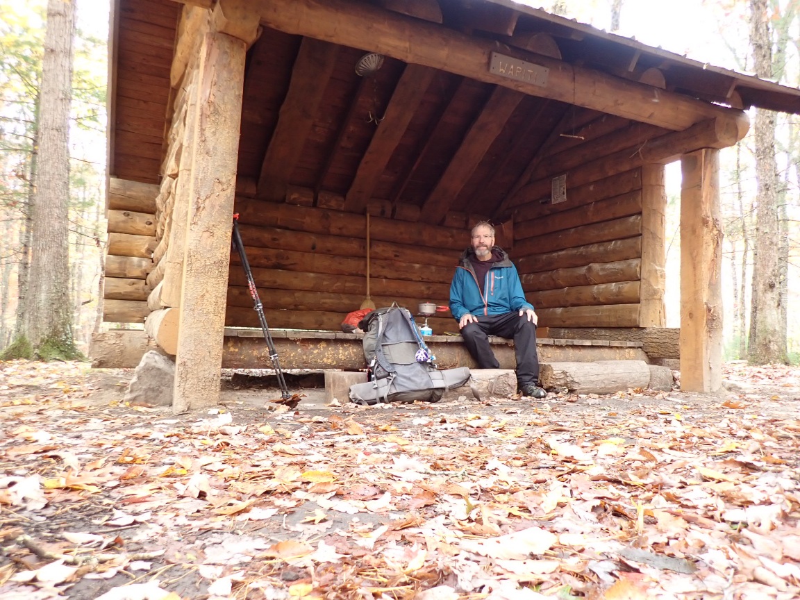
Taking a lunch break at Wapiti Shelter.
Days 129-130, October 29-30: Woods Hole and another zero day
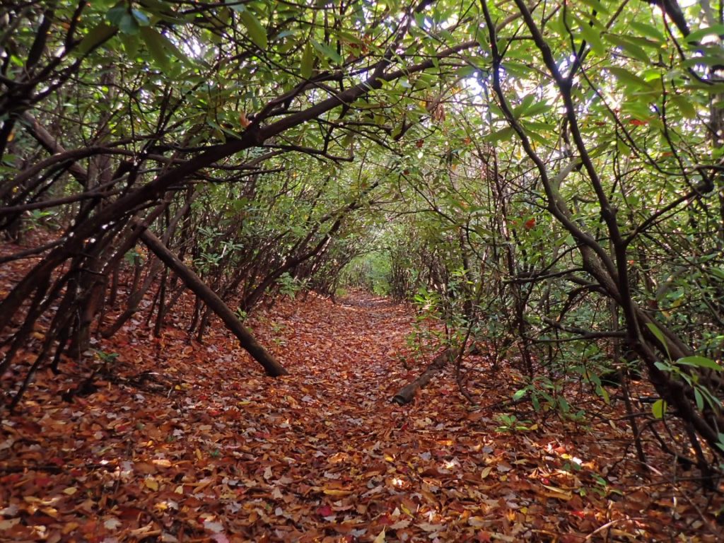
Taking a day off the trail at Woods Hole Hostel was on my mind for a long time. The hostel is just 0.4 mile from the AT along a gravel road high up at 3,355′. It has a very positive reputation as a quiet, peaceful rest stop. Neville, the owner, grows organic vegetables, raises goats and heats with wood. The heat is important because it is chilly! The hike to Woods Hole started in light rain which stopped during the 2,000 foot ascent up the ridge from town. The trail was covered in colorful leaves and rhododendrons sometimes formed a green tunnel with their long, green leaves.
See my real-time location produced by the InReach unit I carry and a daily log of my progress on the trail.
Continue reading “Days 129-130, October 29-30: Woods Hole and another zero day”Days 127-128, October 27-28: A 24 mile hike and a zero day!
Pearisburg was my next resupply opportunity and I had cold weather gear waiting for pickup at the post office. My plan was to arrive there on October 28. On the trail very early again my progress was good and the weather was fine. If I reached the Rice Shelter by 4pm it would be feasible to hike 8 more miles to a hotel in town. From the high ridge at 3350′ I began a pleasant descent as the sun sank lower toward the western horizon. By 6pm I retrieve the headlamp from my backpack and switched on the bright beam to light up the trail and Main Street to the Plaza Motel.
Continue reading “Days 127-128, October 27-28: A 24 mile hike and a zero day!”
Days 122-124, October 22-24: The Virginia Triple Crown
After hiking into Daleville on October 22 to resupply I returned to the trail the next day with clear sky and a sometimes strong, chilly wind. The temperature changed often depending on how much chill the wind delivered to the AT, which made a circuitous route above a wide, deep valley. One side of the ridgetops had views of the Daleville area, the side of the nice valley. The trail climbed to one of the iconic features of this part of Virginia, Tinker Cliffs.
Continue reading “Days 122-124, October 22-24: The Virginia Triple Crown”Day 126, October 26: It’s cold out here and I have a plan!
Day 126, 26-Oct. Milepost: 1532.5 miles, Daily: 21.2, Ascent: 4895′, Descent: 4870′, Highest: 4125′. Camp: Bailey Gap Shelter. Jefferson National Forest, 3515′.
Departed camp at 5:30am by headlamp with plan to hike 21 miles to Bailey Gap Shelter. Chilly wind blew strong as I ascended two ridges, the second at 4100′. Hiked through two wilderness areas and a tedius 5-mile, rocky segment. Temperature fell to 40 degrees in late afternoon. Arrived at Bailey Gap Shelter in 12 hours 15 minutes. COLD!
Continue reading “Day 126, October 26: It’s cold out here and I have a plan!”Day 125, October 25: Sun and rain
The day started nicely as I hiked up the next ridge to 3,000 feet from the campsite at 1,850′. The eyes of a not-so-shy deer reflected back toward me as my headlamp aimed in its direction. The top of the first ridge was level and mellow for several miles before descending to a valley. With a goal to hike 16 miles to the Sarver Hollow Shelter I climbed to the top of a 3,400′ ridge with some urgency because rain was forecast to begin at 3 or 4 pm. I enjoyed some fall colors as I hurried along the trail which had occasional nasty rock slabs reminiscent of New Hampshire. Rain began to fall shortly after 3pm, but the heavy rain started just as I reached the shelter, which provided an escape from the storm for the night. Tomorrow the weather is expected to be very nice!
Continue reading “Day 125, October 25: Sun and rain”Day 121, October 21: Looking at the Peaks of Otter.
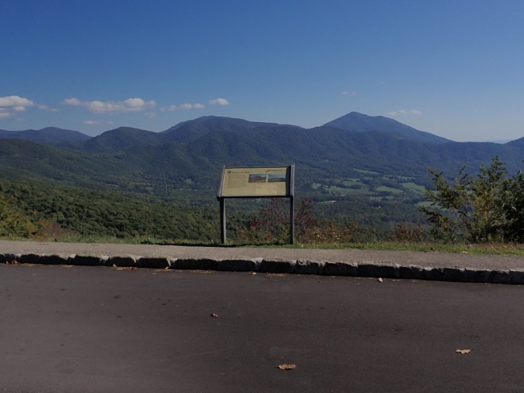
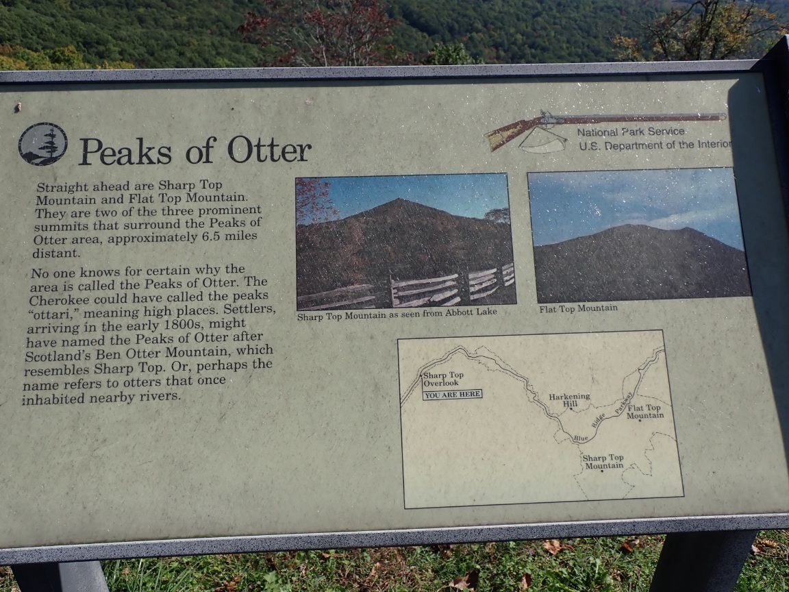
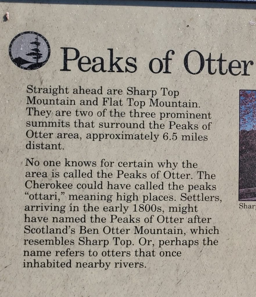
The highlight of my 18.7 miles along the AT was seeing the Peaks of Otter. My previous visit to these mountains was 1961! As a kid attending second grade my family lived in nearby Lynchburg, Virginia for just one year. Having been born in Chicago and lived the first seven years of my life in only the flat Midwest, living near such mountains was a special time. I discovered the wildness of nature in the creek and meadows near our home. A look out our living room window revealed the Blue Ridge Mountains. I knew nothing about the Appalachian Trail, but it certainly was there in 1961. One day we all got into our 1957 Plymouth and drove to an overlook with a view of the Peaks of Otter. I doubt it was the same spot as shown in these photos. Regardless, returning to these mountains as a thru-hiker rekindled many memories of Lynchburg and the beginning of a personal journey of the mountains and the natural world.
Day 121, 21-Oct. Milepost: 1451.6 miles, Daily: 18.7, Ascent: 3775′, Descent: 3850′, Highest: 2705′. Camp: Wilson Creek Shelter, Jefferson Natl Forest, 1855′. Sunny weather until rain shower at 6pm. I was fatigued despite the well graded trail.