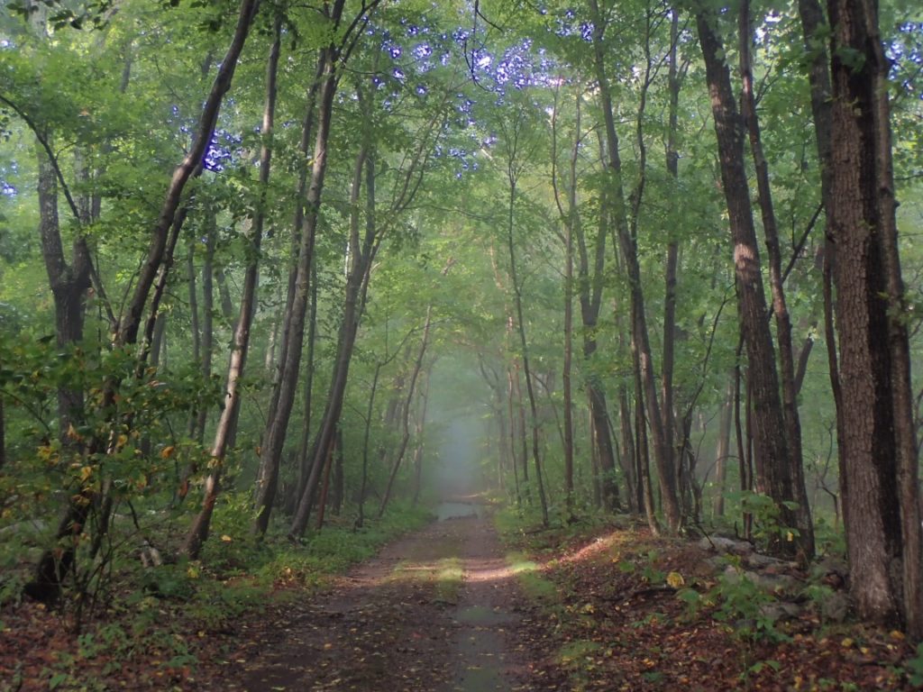
A heavy thunderstorm shook and drenched Deleware Water Gap last night. At first light walked out of the hotel and dodged wide puddles on the way to the AT. Knowing this part of the trail will be rocky I watched my footing carefully, although the first eight miles were surprisingly mellow and mostly absent of the rocks I am expecting in Pennsylvania.

After hiking about 8 miles I arrived at a blue blaze trail, an a alternative to the official AT route that avoided an short steep and rocky segment. The Guthook app recommended the alternate if the rocks are wet from rainfall. Well, that describes the conditions of the day and I went happily along the alternate.
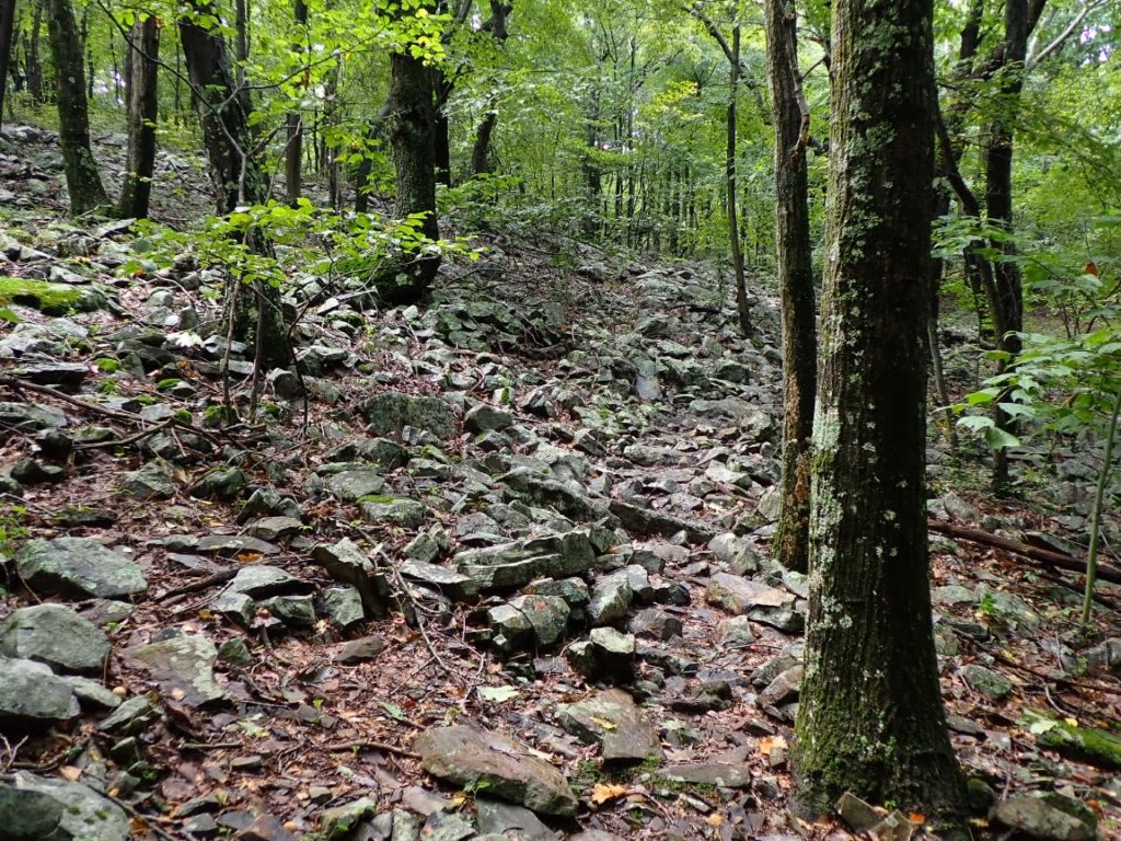
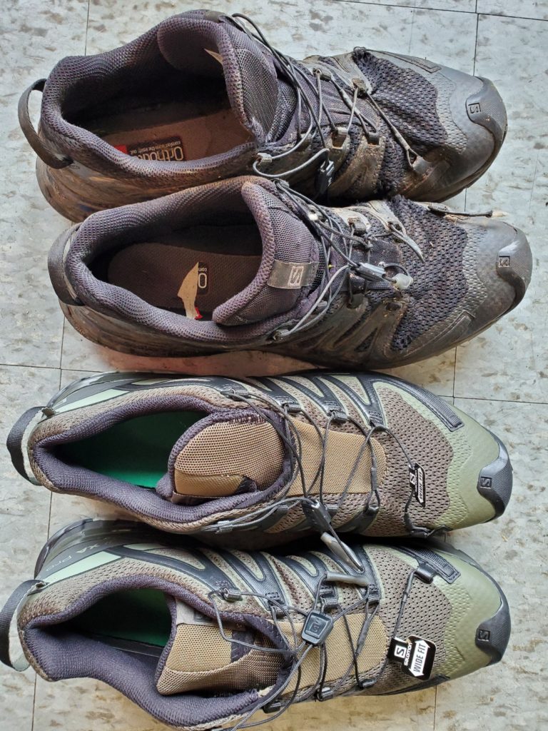
After rejoining the official route about one mile from the alternate I did at last encounter consistently rocky trail. But it was not difficulty to maintain a good pace. First, the trail rarely was steep. Second, instead of looking at the rocks as I walked I focused my eyes on the spaces BETWEEN the rocks! This did not work all the time, perhaps it was 70% of the rocky trail allowed me to dodge the rocks. The other times my steps firmly danced on the sharp objects repeatedly. It’s a good thing my Salomon shoes have rock plates.


I walked into the town of Wind Gap where the Post Office had several parcels waiting for me. One was a new pair of Salomons just in time for the state known for its rocks.

See my real-time location produced by the InReach unit I carry and a daily log of my progress on the trail.

Snake Maiden and I hiked about 20 miles of the AT near Delaware Water Gap in 2019. Our Road Scholar guide told us the state is known as Rocksylvania, particularly just south of DWG. Our hikes felt a lot like Colorado trails–no easy sidewalks!
Stay strong and stay vertical!
In Deleware Water Gap I met a group of Road Scholars on a similar trip as yours! They were eating lunch at the pie bakery.
Boulders, rocks, and more rocks. You’ve been battling the rocks since the beginning of your hike. Hopefully fewer rocks on down south.