
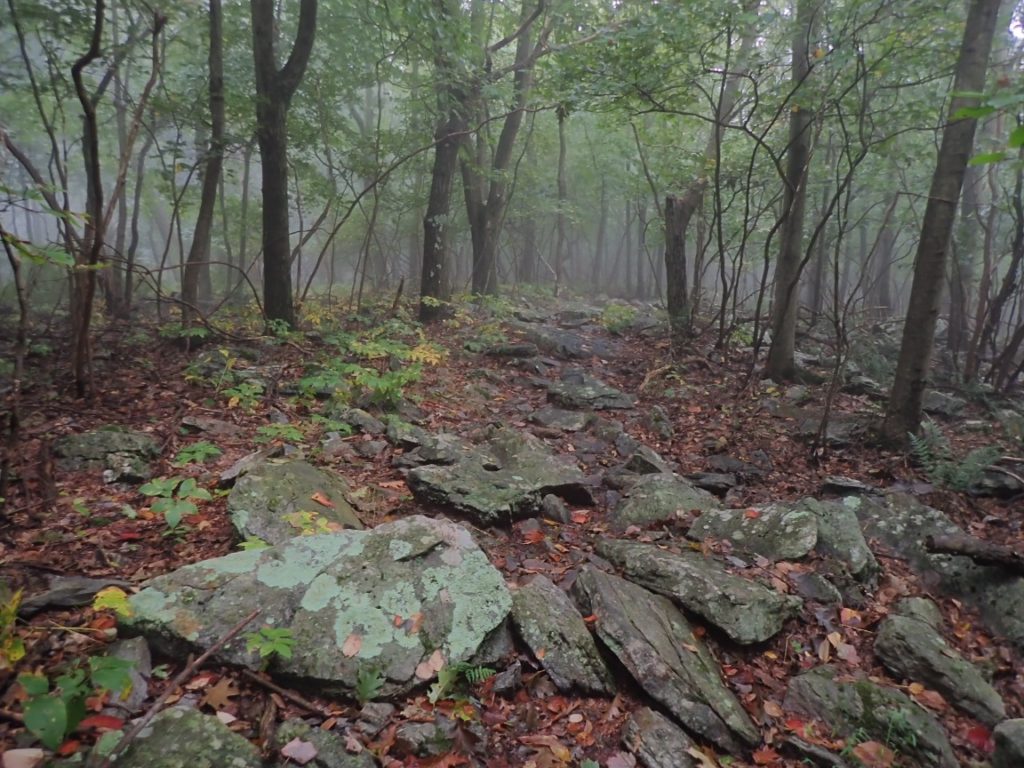
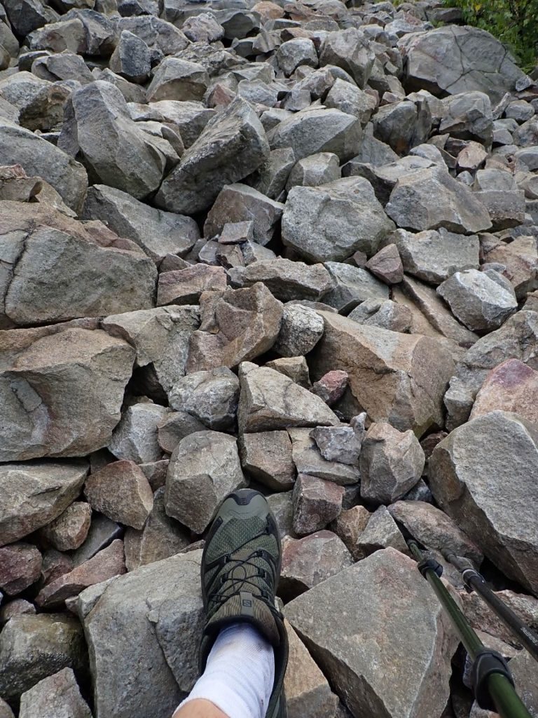
This part of the Pennsylvania AT looks easy on the topo map: Mostly level terrain at 1500 feet above sea level. There are some tough areas that involve a lot of rocks, then more and bigger rocks, and sometimes boulder fields. In between these places are marvelous, easy, level trail that is as easygoing as a neighborhood walk at home. Today had some drama, though. Because the AT stayed mostly on the top of the 1500′ ridge there were no on-trail streams or springs. Even good campsites were without water sources. I found one good spring that was about 15 miles from a shelter that was near water. And if I chose to camp there I would need to hike 21.7 miles for the day, including a sketchy bouldery descent for over 500 feet down to the Lehigh River highway bridge. In the morning, after loading my backpack with 3 liters of water (6 pounds) I was up to the task of going all 21.7 miles. It really depended on the trail conditions.
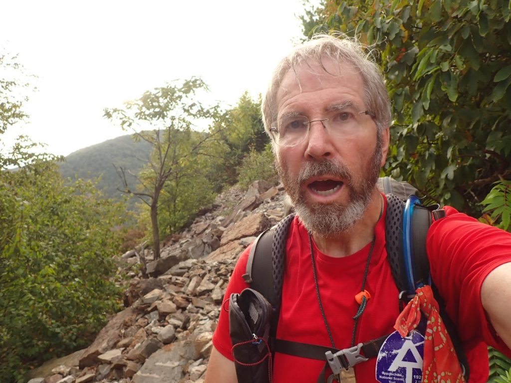
I was happy that much of the trail was mellow and easy to hike as I lugged the 6 additional pounds of water. I was surprised that the weight did not slow my pace. I checked my pace often. In order to reach camp by 7pm I needed to average 1.8 mph including rest stops when I would eat snacks. The trail did get very rocky at times. The pain in my feet was noticeable, although the new pair of shoes made a huge difference.
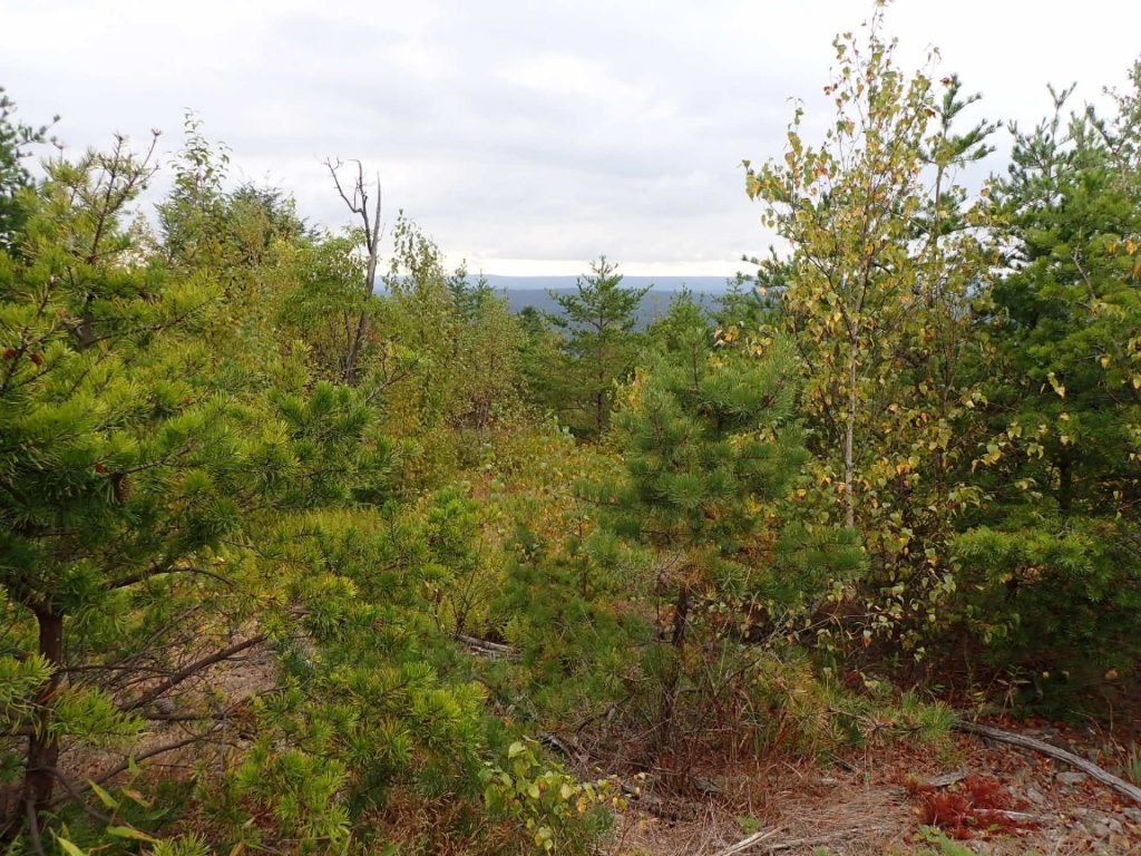
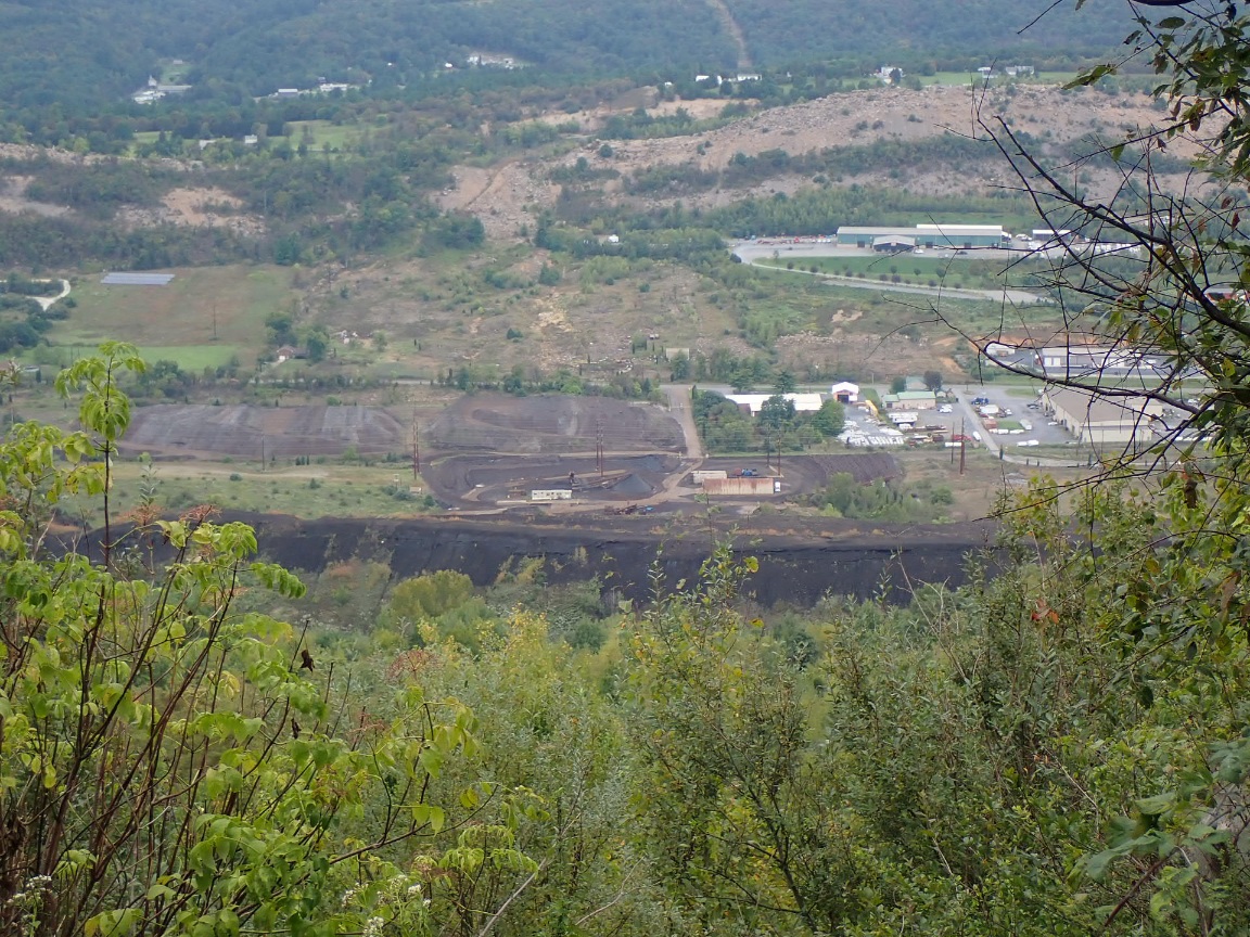
In mid-afternoon I entered an area that was negatively impacted by a 100-year old zinc production facility. The pollution left the mountain which the AT traverses a wasteland. Decades ago the Federal Government designated that area as a Super Fund site, and work commenced to restore the land to a more natural condition. As I hiked through the restoration zone I was happy to see trees and other plants growing. But it was not the same as the forests along the AT I have enjoyed for over 85 days. Occasionally I could see the zinc plant in the valley below. It looked old, ugly, and had mountainous piles of black material. It appeared to still be operational. One reason for the near-trail scarcity of water is the heavy metals that continues to pollute the water and make it unsafe to drink.

As my own water supply was decreasing on a warm, thirsty day, I reached a crossroads. An alternate trail avoided what one guidebook described as the most difficult boulder descent since New Hampshire and strongly suggested the alternate if the rocks were wet. In the Guthook app some AT hikers recommended the alternate for all SOBO hikers like me. Earlier in the day I asked two northbound hikers about what I was convinced was a treacherously steep boulder descent. With his smartphone one of the hikers showed me photos. “There are just two rocky pitches that you should put away your trekking poles and use your hands to hold on to the rock. Just two places. The rest is just boulders you can walk over.”
I was not fully convinced. The other hiker reassured me. “Take the white blaze.” He meant the official route. “I will see when I get to the blue blaze.”
Upon arriving at the blue blaze alternate I felt bold and adventurous. If I slip on one of the big rock pitches it could end my hike if, say, I broke an ankle. On the other hand, I WAS hiking the AT for true adventure. The trail tried multiple times to break me but ultimately did not. Moreover, the rocky descent could not be any worse that what I conquered over two months ago up north. I went for it!
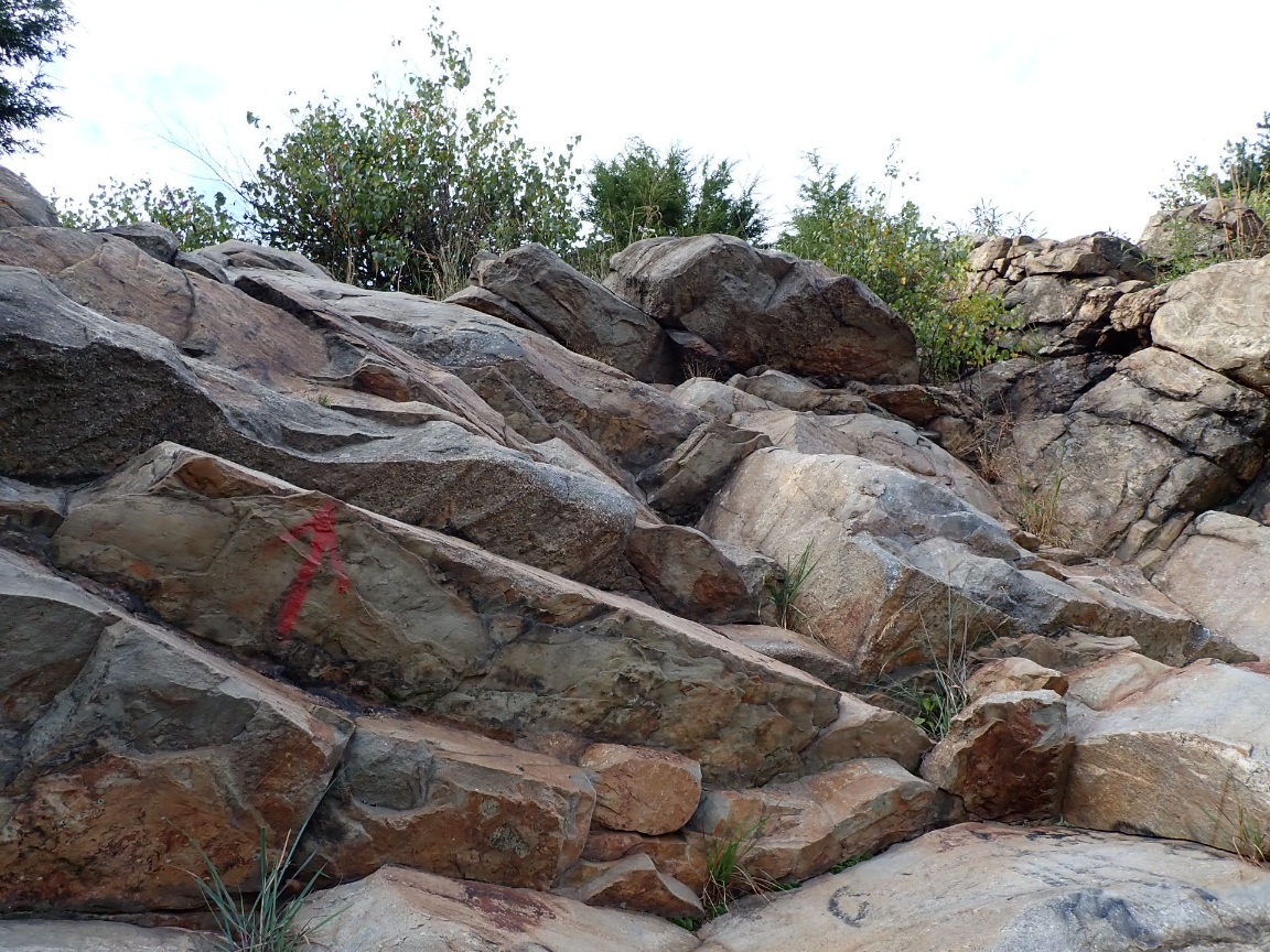
The descent to the Lehigh River was one mile and 1,000′ down, and the first part was easy going. But soon I was stepping over huge rocks while carefully using the poles and hands to balance myself. It was 5:15pm, and sunset was just two hours away. Once I reach the trailhead below only one easy mile remained to hike to camp and water. Rushing could result in a careless fall. I put all my focus on each step, each rock. The sweat flying off my forehead may have been more adrenalin induced than from heat. Speaking of heat, it can bring out rattlesnakes on boulder fields like this…another thing to focus on!
I arrived at the first treacherously steep rock pitch. After assessing the potential routes down I made a quick decision, tossed my trekking poles to the bottom, positioned myself facing the rock, located handholds, held on for dear life, looked down for the best footsteps, and very, very carefully lowered myself down. It was scary but I felt more alive than I had all day. The second pitch was more challenging when I had to move laterally across the rock to reach the larger footholds that I was more likely to hold without slipping. With a feeling of relief I had both feet firmly on flat ground. As I picked up my poles my hands shook slightly. Nerves, no doubt, fueled by a feeling of accomplishment and the satisfaction of making a choice, sticking with it and doing it right and safely. The experience of the PCT and CDT guided me with the confidence earned from the thousands of miles on those trails and other wilderness travels. My body is old. Confidence can mitigate an aging body if used wisely.
My goal to reach camp by 7pm was beat by 15 minutes. Sometimes a good tired comes along. Today it did, no doubt. 21.7 miles. Highest daily total so far on the AT!
Well done!!!!!❤️❤️♀️
Looks like you just made some well thought out decisions. Those rocks looked mighty hazardous . One bad slip and your journey is over. Of course you already know this . Good thoughts coming your way. ❤️
So many rocks and boulders for you. And old environmental damage. As you go further south, you’ll see the damage from mountaintop removal for mining purposes. It hurts to see it.
Sounds like you had a stellar day, Roger. Your elation and relief was evident in your recounting at the end of the day! I’m enjoying your travels very much. Jill
So glad you are down that hard climb at Lehigh gap. That was one of the most difficult climbs for me.
I know that there are more rocky sections coming up for you. But, you seem to be handling it well.
There’s also a lot of easy stuff too
Ninja AT hiker! Well done!