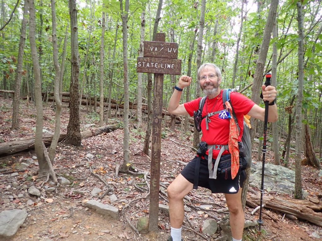
On October 5 I woke up in West Virginia at the David Lesser Shelter, which is about eight trail miles from the Virginia border. I looked forward to entering Virginia because it is the only Appalachian Trail state I once lived it (1962 in Lynchburg). But the border crossing was not the first thing I considered when getting a pre-dawn start with my headlamp beam pointed down toward my footsteps. Before entering Virginia the AT becomes a so-called “roller coaster” with numerous ups and downs which could be steep. I did not know if the 14-mile segment of roller coaster would be challenging or slow my progress toward my goal for the day 21 miles ahead. Yes, that is 21 miles, including 14 on a roller coaster!
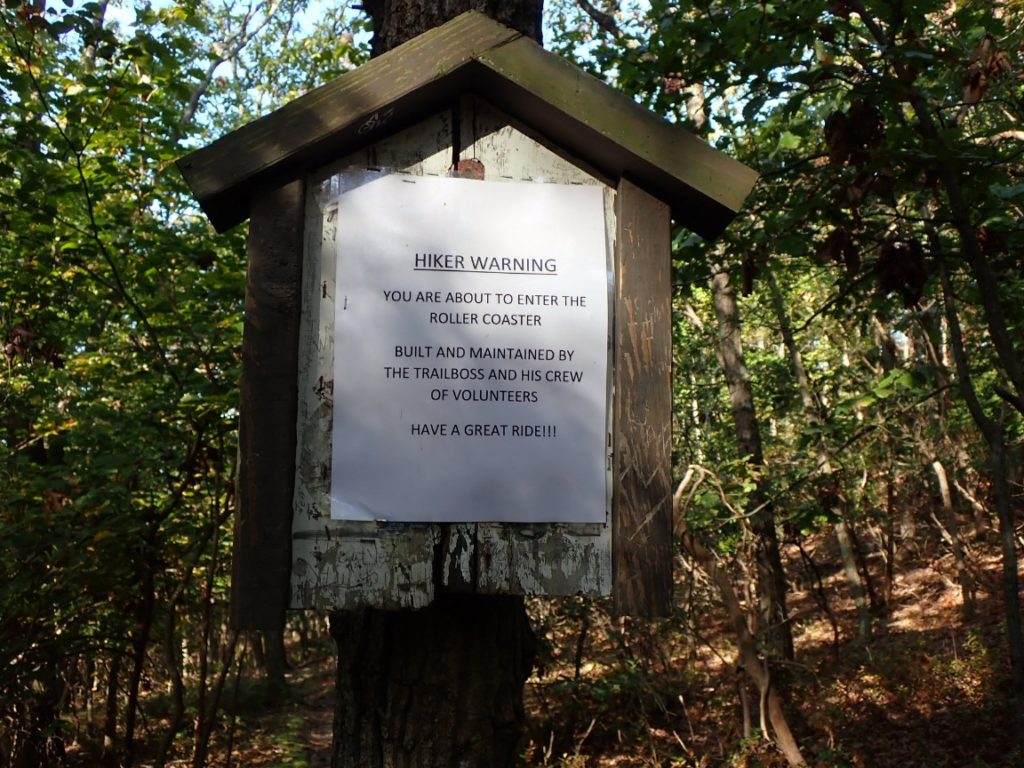
I was surprised a trail sign for the northern end of the roller coaster started with “hiker warning.” I doubted a hiker could get lost, hurt or killed. Slowed down, maybe. In my fashion I decided to quantify the roller coaster as my feet landed on every low point, record the elevation, and do the same when I reached the high points. The weather did not cooperate. As the low clouds burned off the air hot warmer and more humid. I managed my water supply carefully when I realized beads of sweat rolled into my eyes. The bandana that hung from a shoulder strap got wet from the constant wiping of my forehead.
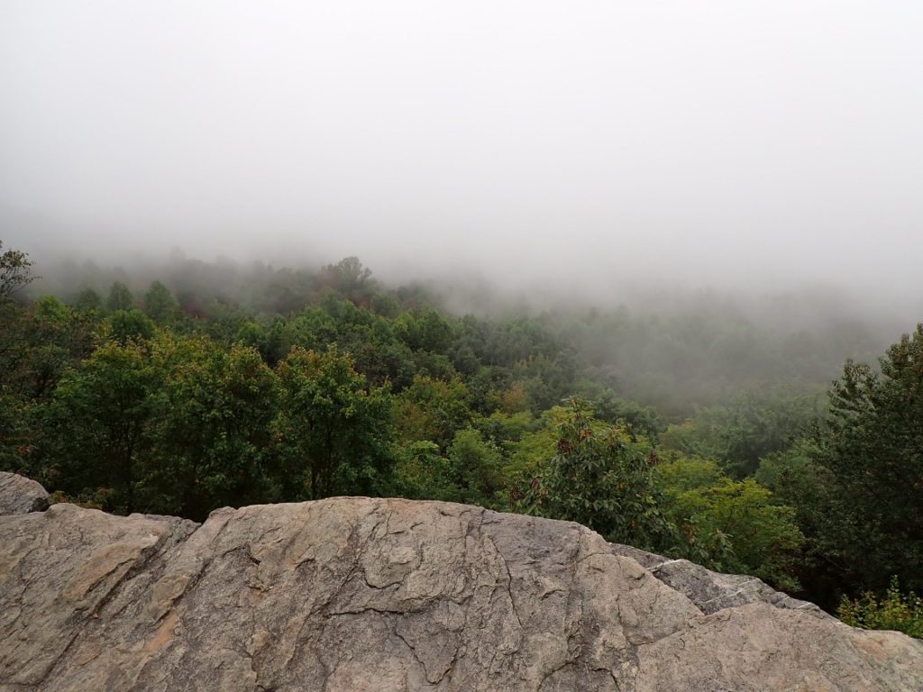
In addition to watching my water supply I had to watch my progress toward reaching my 21-mile goal to the Rod Hollow Shelter, where water would be available at the campsite. In mid-afternoon I began to have my doubts, as I told fellow SOBO thru-hiker Torpedo. “I just need to be persistent and not stop as often to eat snacks,” I admitted. Well, persistence is a valuable attribute to complete a long thru-hike. I kept going, stopping only take a Cliff Bar out of my backpack to eat as I hiked.
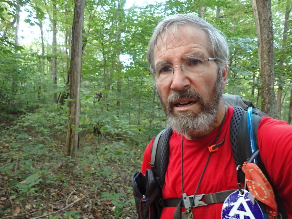
About half a mile before reaching my intended destination the roller coaster officially ended. The downhill glide to the shelter in darkness was a nice end to a victorious day! To make the evening enjoyable I prepared dinner on a wooden table next to the shelter while listening to music by four hikers, including two women SOBO hikers.
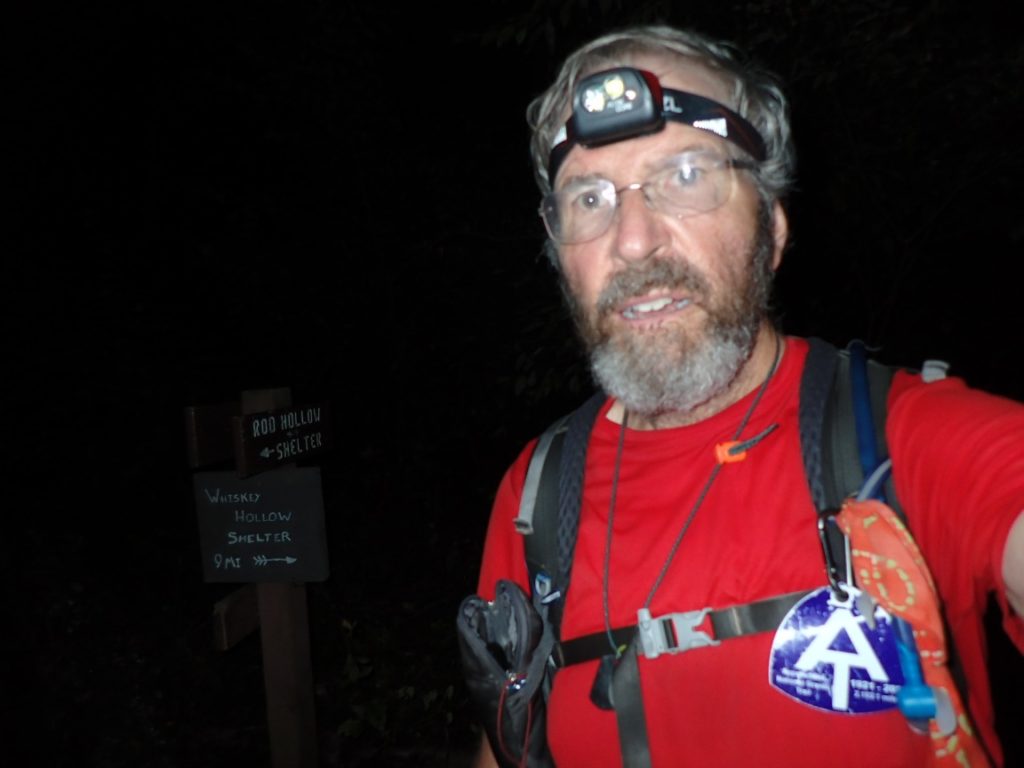
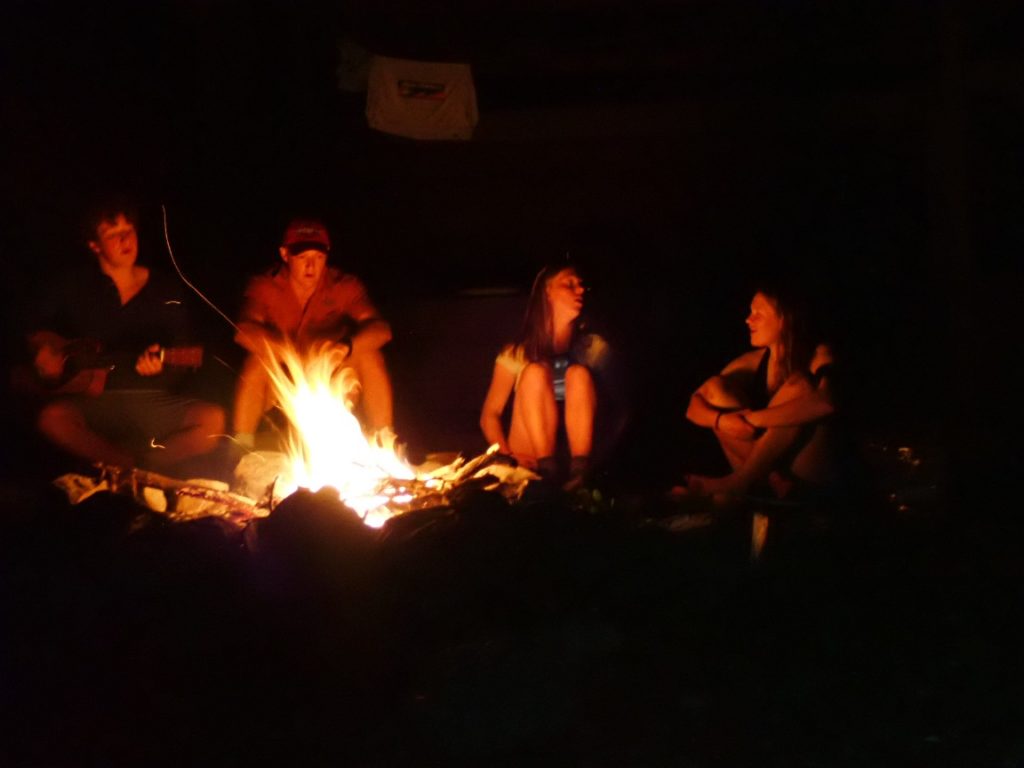
Oh, what about the statistics for the roller coaster. There were ten climbs totalling 3,400 feet of ascent with a range of 138 to 582 feet. These were not long climbs, but some were steep and even rocky. Same with going downhill. Combined with 21 miles hiked for the day, AND the total ascent of 4,790 feet over that distance, it was by these measurements the most difficult day on the thru-hike so far.
October 6 and 7 were much easier. The trail was great, rarely steep, and cooler thanks to the light rain that turned heavy for a short time in the afternoon. I have a strong feeling this good feeling will carry forward into the Shenandoah Mountains I will enter on October 8.
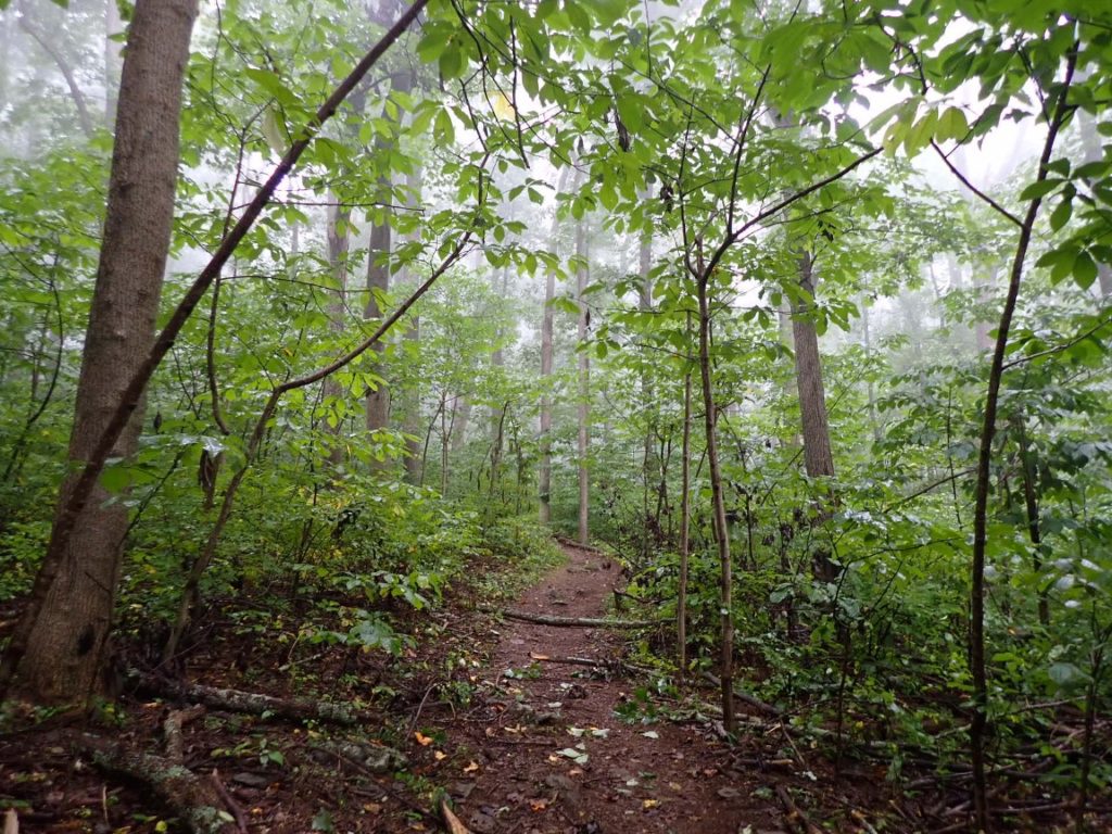

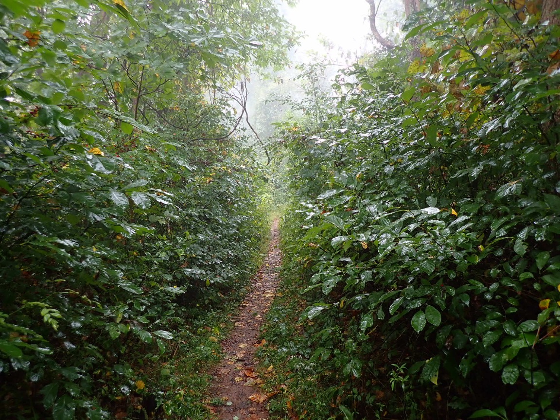
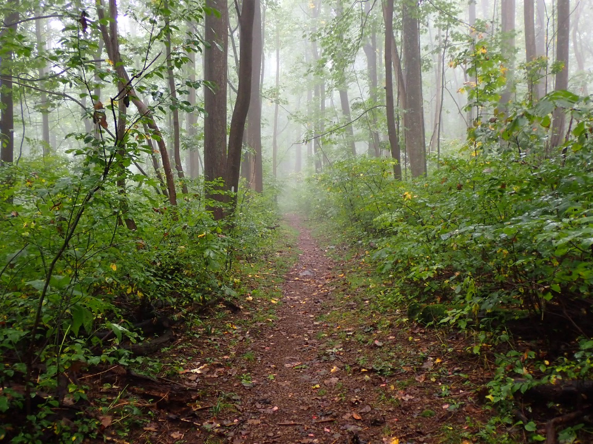
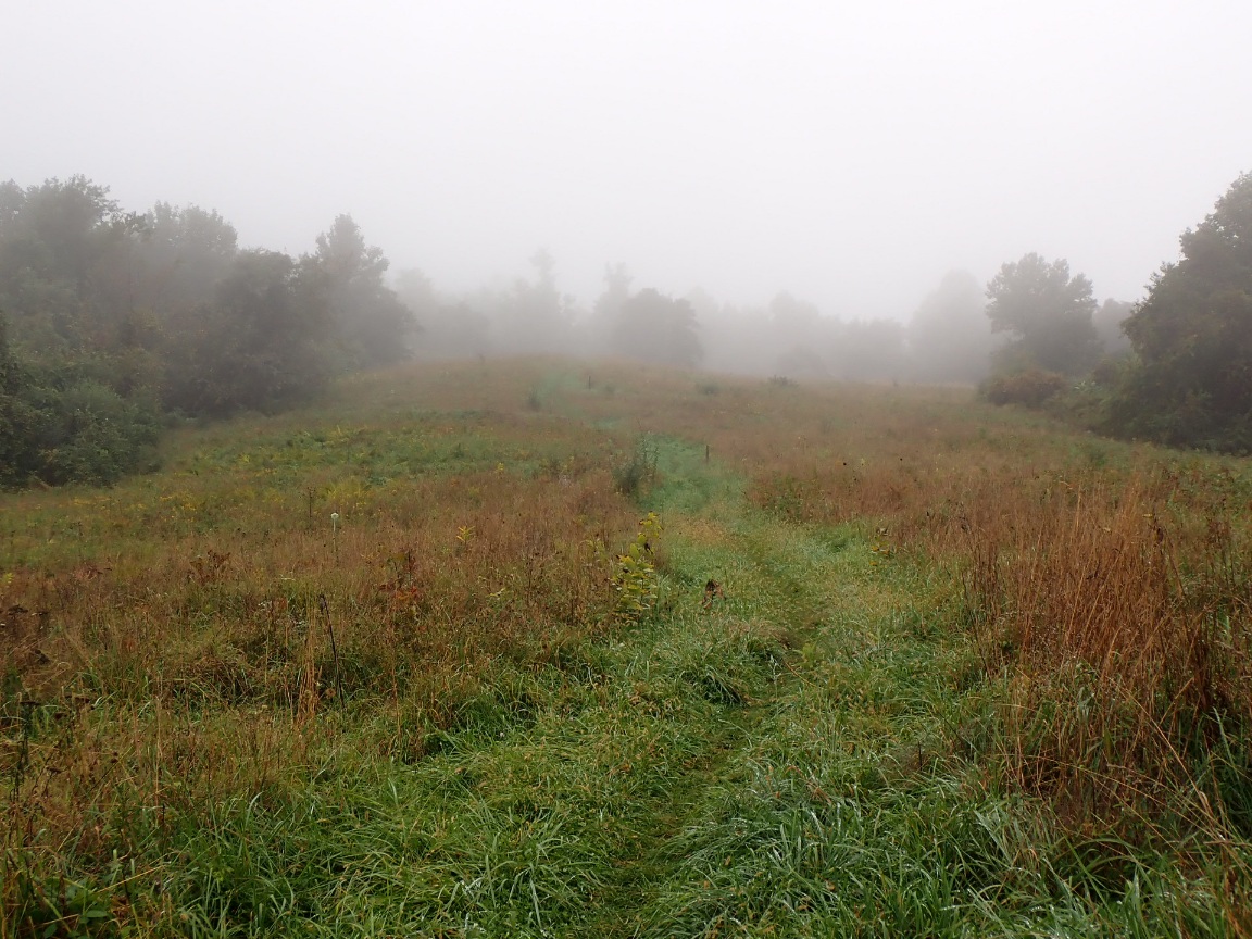
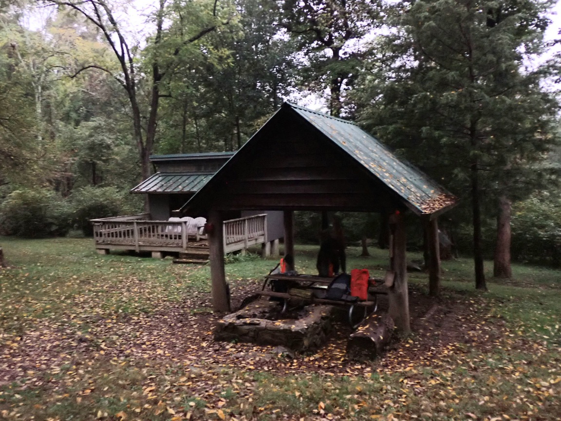
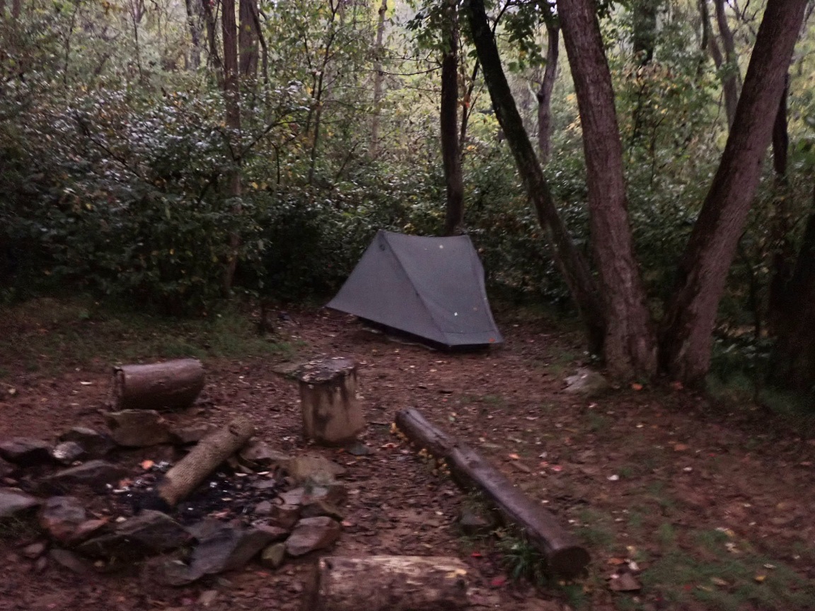
See my real-time location produced by the InReach unit I carry and a daily log of my progress on the trail.
Link to a short video I made on the trail on October 7:

Lots of inclines/declines to test your stamina! Yet another turtle!!! Keep it up!
Great hiking job!! Hope you enjoy the Shenandoah
Nice picture of you popping right along. You are in your element . ❤️♀️
My admiration Roger. I wonder if the trailboss and his crew can do the 21 miles in the same time