Hiking the Triple Crown of Long Distance Hiking, 1995 to 2021: Part 3 of 3, the Appalachian Trail

This is Post 3 of 3 about my pursuit of the Triple Crown of Long Distance Hiking and the Appalachian Trail. I started in 1995 with the Pacific Crest Trail, but finished far short that year. I hiked the entire Pacific Crest Trail in 1996 and the Continental Divide Trail in 2016. To read the previous posts look for the link “Triple Crown Hikes” or click here.

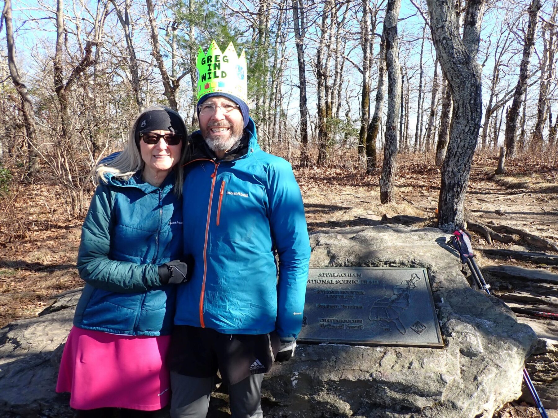
I was nervous about hiking the AT. “Welcome to New England hiking!” my friend Brownie wrote in an email. “Why the nerves?”, I blogged the night before climbing Katahdin. This was not the well-graded PCT I hiked in my 40s, and Brownie knew it. I was 67, and about to walk and sometimes crawl over steep, rocky terrain for 2,169 miles on the AT for the first time.

The five-hour hike up and down Mt. Katahdin was spectacular. In Maine I embraced the lush forests, ponds and lakes, but learned quickly how the steep, rocky terrain can beat up a SOBO hiker. My good friend Marmot had advice when our paths crossed in Maine. “This is the hardest state on the AT; take more zero days here!” I took the advice and ultimately loved hiking the White mountains and the Presidential range in New Hampshire in great weather. Thru-hiking southbound was a good choice for me.

Continue reading “Hiking the Triple Crown of Long Distance Hiking, 1995 to 2021: Part 3 of 3, the Appalachian Trail”
CDT Montana-Idaho, Days 14-15, July 22-23

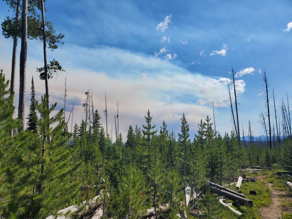
With a heavy heart I waited for Ronnie to pick me up for the drive from Salmon to Chief Joseph Pass. The nearby Moose Creek fire had expanded to over 20,000 acres and two helicopter pilots died in a crash while fighting the wildfire. My complaints of breathing smoke and watery eyes were trivial. The effort to hike on the first day back on the trail was easy compared to the tough and dangerous work done by fire crews.

July 22: 18 miles, 2130′ ascent

July 23: 14.7 miles, 2,640′ ascent

Smoke rising from the Moose Creek fire in nearby Idaho.
Continue reading “CDT Montana-Idaho, Days 14-15, July 22-23”

Day 104, October 4: West Virginia

See my current, real-time location and daily trail log.

According to the Appalachian Trail Conservancy the West Virginia portion of the AT is only 25 miles. After hiking 9 miles today I expect my stay in the state will end tomorrow! Virginia, the next state going southbound, has the most distance of all 14 states along the trail.

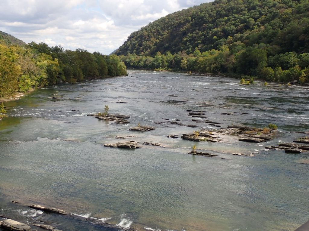
Shenandoah River from a highway bridge near Harpers Ferry.
Continue reading “Day 104, October 4: West Virginia”

CDT August 23-27: Yellowstone to Idaho and Montana borders

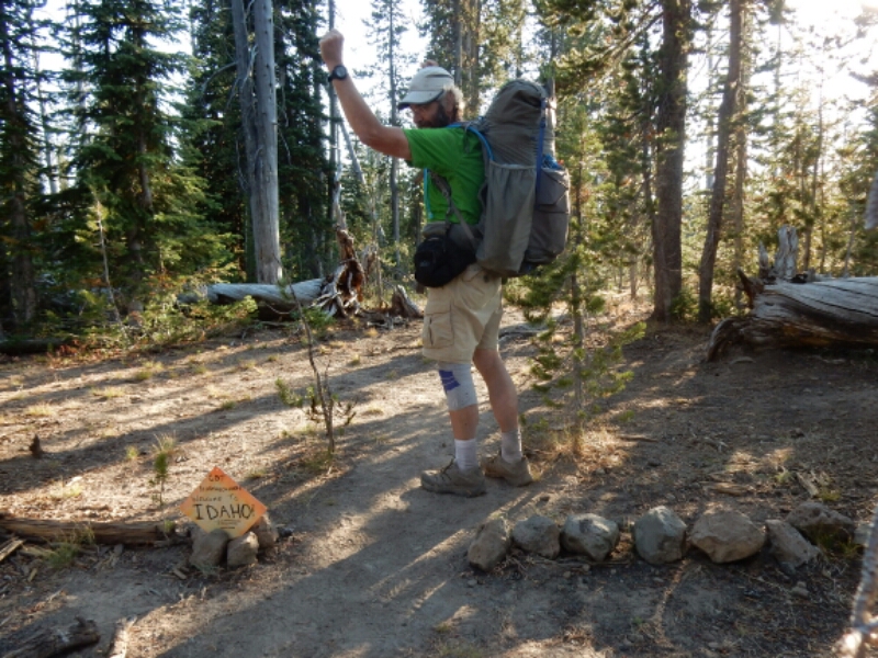
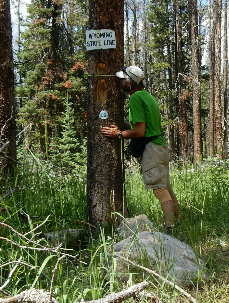
ENTERING THE FINAL STATE, MONTANA. I left Yellowstone on August 23 along very easy-going trail, but through a large burned area. Before leaving the National Park, however, I crossed the state line between Wyoming and Idaho, a state which the CDT merely straddles with Montana. Wyoming was very good to me. I entered the state with my injured knee a huge concern, and the mellow trails allowed the pain to subside, at least temporarily. I passed by the border with a slight expression of satisfaction, more interested in making more miles that day.

image

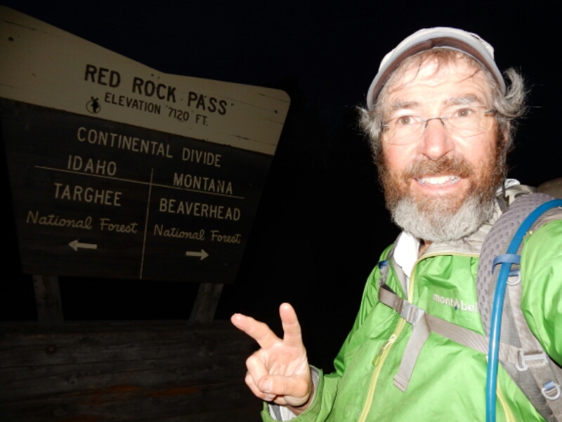
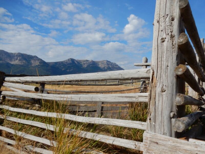
While at the Sawtelle RV park overnight I decided to take an alternate route to the next resupply town, Lima, Montana. This allowed me to get to Lima in less time with less wear and tear on me. Along the way, in the Centennial Valley, I hiked over Red Rock Pass and across the border to Montana early morning on August 26.
image

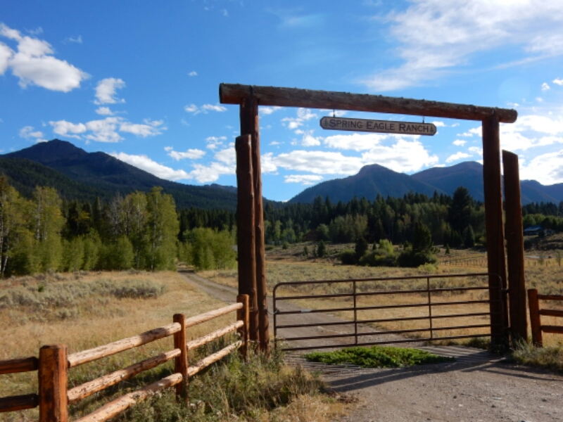
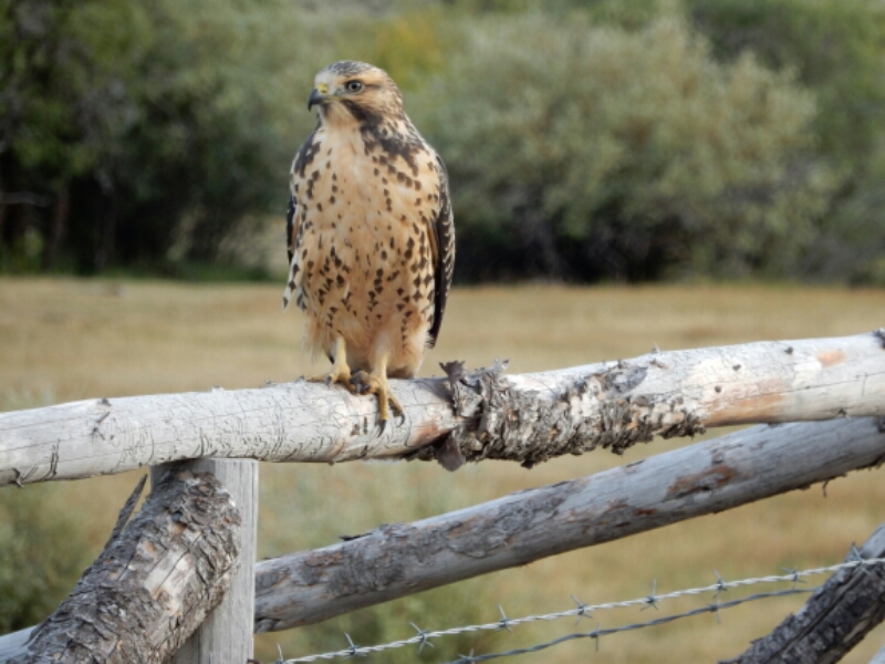
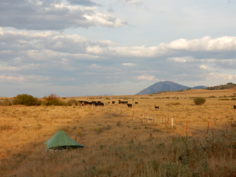
My choice of the alternate route was a good one. The valley featured Red Rock Wildlife Refuge, lovely ranches, birds of prey, and other wildlife such as the first fox I saw on the entire hike. I still had to be “bear aware”, the same as if I was hiking the divide 2+ miles to the south and 2000 feet higher.
image

image

image

image

I plan on taking another alternate route about five days after departing Lima. The goal is to move up my arrival in Glacier National Park in late September to avoid the possibilities of cold, snowy weather and closed or limited route options through Glacier National Park. This will involve some backroad and highway walking between Lemhi Pass (the important Lewis and Clark Expedition milestone) and Anaconda. Regardless of the route choices, GREG IN WILD HIKES ON!

image

CDT August 16-22: Togwotee Pass to Yellowstone NP

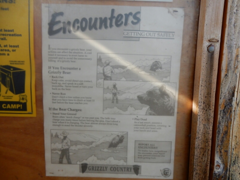
GRIZZLIES, GEYSERS AND A VERY NICE HIKE:  On August 16 I reached Brooks Lake, a large lake in the Teton Wilderness, I read signs posted by the Forest Service warning of grizzlies and how to deal with encounters. I was extra cautious while hiking. This included daily practice quick-drawing the bear spray, talking frequently to a possible unsuspecting bear, not cooking in camp and hanging food 300 feet away from my tent at night. Being confident with the potential for bear encounter allowed me to enjoy the mountains, river valleys and mostly mellow trail.
image

Continue reading “CDT August 16-22: Togwotee Pass to Yellowstone NP”

CDT August 12-15: Pinedale to Togwotee Pass, WY

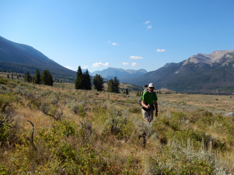
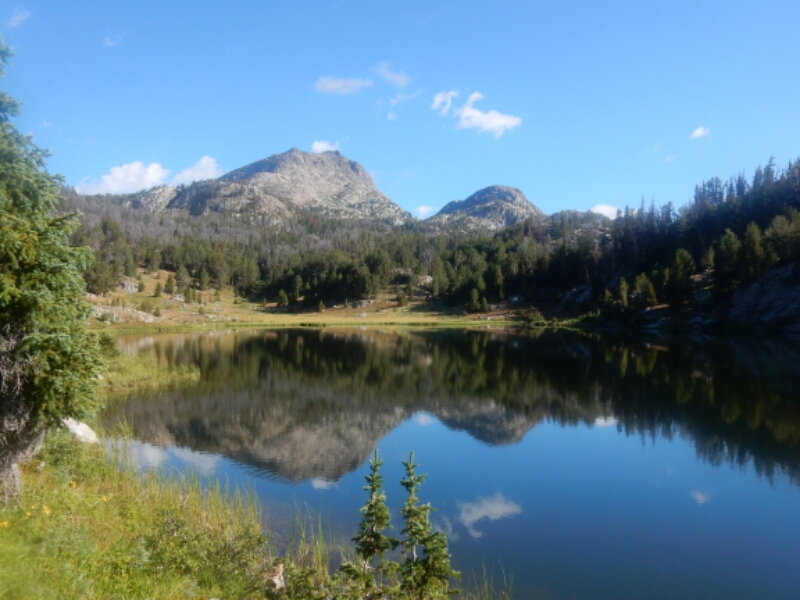
WALKING WITH GRIZZLIES IN THE WIND RIVERS.  The Wind River Range is a lovely place to hike, and I was fortunate to enjoy the megestic scenery without any uncomfortable encounters with a griz. As I hiked I paid close attention to my ailing knee while managing to hike 20+ mile days three days in a row. It was not the pace I originally planned for, but not everything on a 2700-mile hike can go perfectly. Now, it’s about taking each day at a time and enjoying the Rocky Mountains, the Wind Rivera and Yellowstone.
image

Continue reading “CDT August 12-15: Pinedale to Togwotee Pass, WY”

CDT Aug 4-8: South Pass City to Pinedale, WY

BACK TO THE MOUNTAINS, THE WIND RIVER RANGE! 
I was happy to trade the hot, windy sagebrush land of the Great Divide Basin for the mountains.  I have been told by other CDT hikers the Wind Rivers were a pleasant surprise.
image

Continue reading “CDT Aug 4-8: South Pass City to Pinedale, WY”

CDT July 30- Aug 4: Rawlins to South Pass City, WY

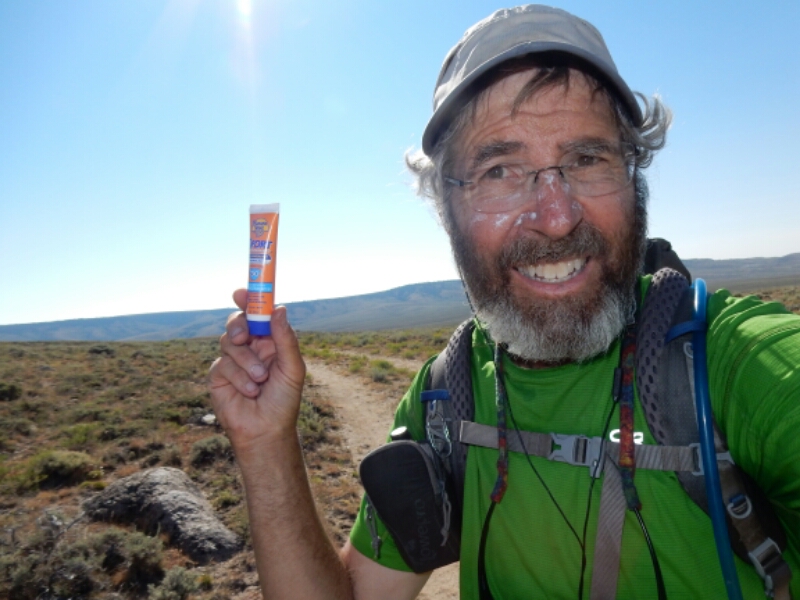
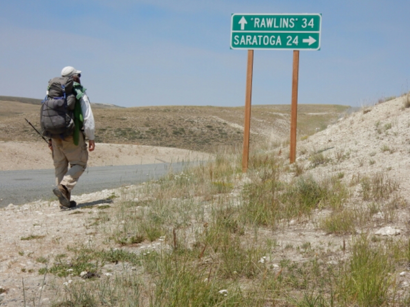
Okay, what is 160 miles long, is virtually treeless, has very little water, and features high winds up 40 mph all day?  You probably first think of death valley.  WRONG! It is the CDT inside the Great Divide Basin of southern Wyoming, plus the 40 miles south of Rawlins.  I just hiked that section, and I am sure happy that I carried plenty of sunscreen and water purification solution.

image

Continue reading “CDT July 30- Aug 4: Rawlins to South Pass City, WY”

CDT July 24-29: CO/WY border to Rawlins, Wyoming

Hello Wyoming!  A Tail of Trail Magic.

I really wanted reach the next trail town, Rawlins, Wyoming, with as much road walking as possible.  But my maps of the official CDT route did not seem to have as many miles on roads as I expected after reading various accounts on Facebook from hikers in front of me, including Allgood, the founding member of the Portland Mafia group I embarked with on April 18.  A couple of hours after crossing into Wyoming I encountered Mammoth, the second southbound thru-hiker I met within a one hour period.  Wow, southbounders already!  Mammoth and Phantom started at the Canadian border on June 1 and they reached the half-way point of the CDT already.  But it was Mammoth’s description of the alternate route on a long stretch of road that easily, although in a dry and boring way, led to Rawlins.  I wanted to take that route.
image

Continue reading “CDT July 24-29: CO/WY border to Rawlins, Wyoming”

CDT July 21-24: Steamboat Springs to Wyoming border

Colorado: See ya later!

As I left Steamboat Springs on July 21 I was looking forward to hiking terrain that was more forgiving, less steep and at lower altitude.  I was disappointed with my progress throughout northern Colorado, and my knee had begun hurting again since I ascended the 12,250 foot Parkview Mountain just a few days prior.  I was so happy that my friend Scott Larson of Steamboat generously gave me a ride to the trailhead near Rabbit Ears Pass, and the home stretch toward the Wyoming border began!  I didn’t even mind the cooling effects of the rain that made the forest look and feel like the southern Washington Cascades.
image

Continue reading “CDT July 21-24: Steamboat Springs to Wyoming border”