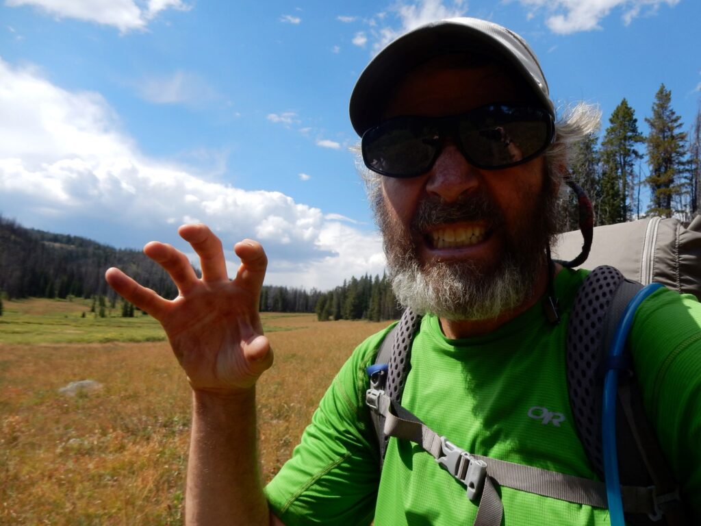
April 20, 2025, Westfield, Wisconsin, by Roger Carpenter
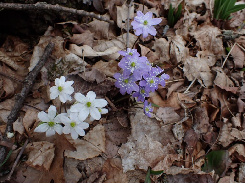
I left chilly Antigo knowing that I was, at last, leaving the Northwoods and heading south. Would the weather begin to warm with the change in latitude? I also knew that over the next eight days and 162 miles, much of the IAT route would be on roads. It meant no more bushwacking around fallen trees like I did in the Kettle Bowl segment. The sight of newly blossomed wildflowers along the Plover River lifted my spirits. While the Northwoods was teaming with beaver, Geese, and Wood Ducks, the presence of flowers was a good omen.
April 22, 2026, Antigo, Wisconsin, by Roger Carpenter / Greg in Wild
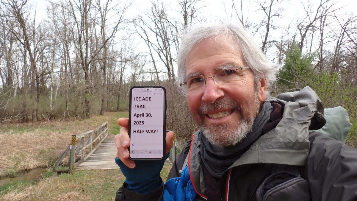
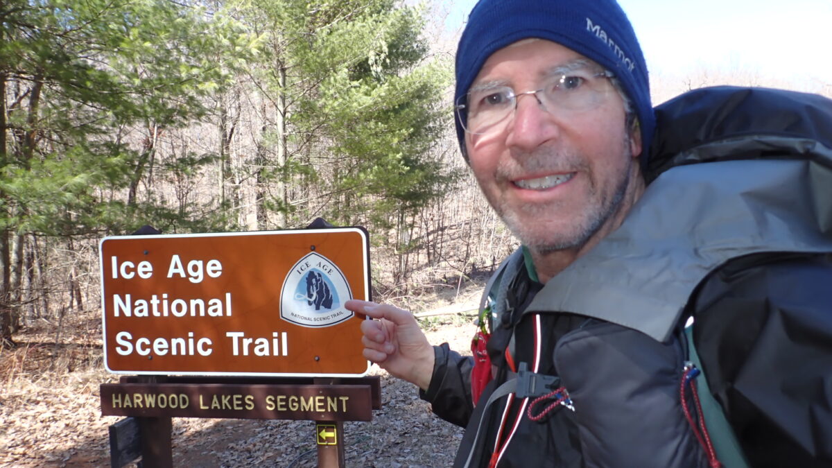
No wonder it still feels cold! For four weeks, I hiked the portion of the IAT that stayed in the northern part of Wisconsin…the Northwoods. Warmer weather is coming, especially as I begin to walk southbound out of Antigo, where I enjoyed another zero day. The map, below, has the waypoints I recorded at every overnight stop.
Waypoints on Gaia
Merrill area Trail Angel, Ruby, drove me back to the IAT, where I headed east along miles of roads before entering the Underdown segment of the Trail. My destination was a wonderful shelter that protected me from the rain showers that fell overnight. It was true luxury! The shelter included a small table where I prepared dinner. How awesome is that! The shelter was reminiscent of the Appalachian Trail.
April 16, 2025, Merrill, Wisconsin, by Roger Carpenter / Greg in Wild
I appreciate the numerous kind comments written on this blog and Facebook about the passing of my brother, Jim. The thoughts expressed have comforted me and helped me move forward on the IAT. Thank you.
For three days and 51 miles, I experienced most of the discomforts an upper Midwest hiking trail in early spring: rain, deep, cold water, boggy trail, mud, snow and freezing temperatures. To make the experiences even more complete, I fell into a creek up to my lower torso! This is what the hiker community calls Type 2 fun! As I navigated the IAT gauntlet of these trail conditions, I kept reminding myself that I was not bothered by heat, humidity, mosquitos, and ticks. I came to the IAT well prepared because I made good decisions about clothing and gear. The photos, below, are in chronological order and provide the best description of the 51 miles of the IAT.
Soon after Pat Kosher, a Trail Angel in Cornell, gave me a ride back to the IAT on April 8, I received a message from Chalice, the wife of my brother Jim. He was going to enter hospice. Jim seemingly had beaten lymphoma that was diagnosed in 2015, but complications from infections made him progressively weaker for three months.
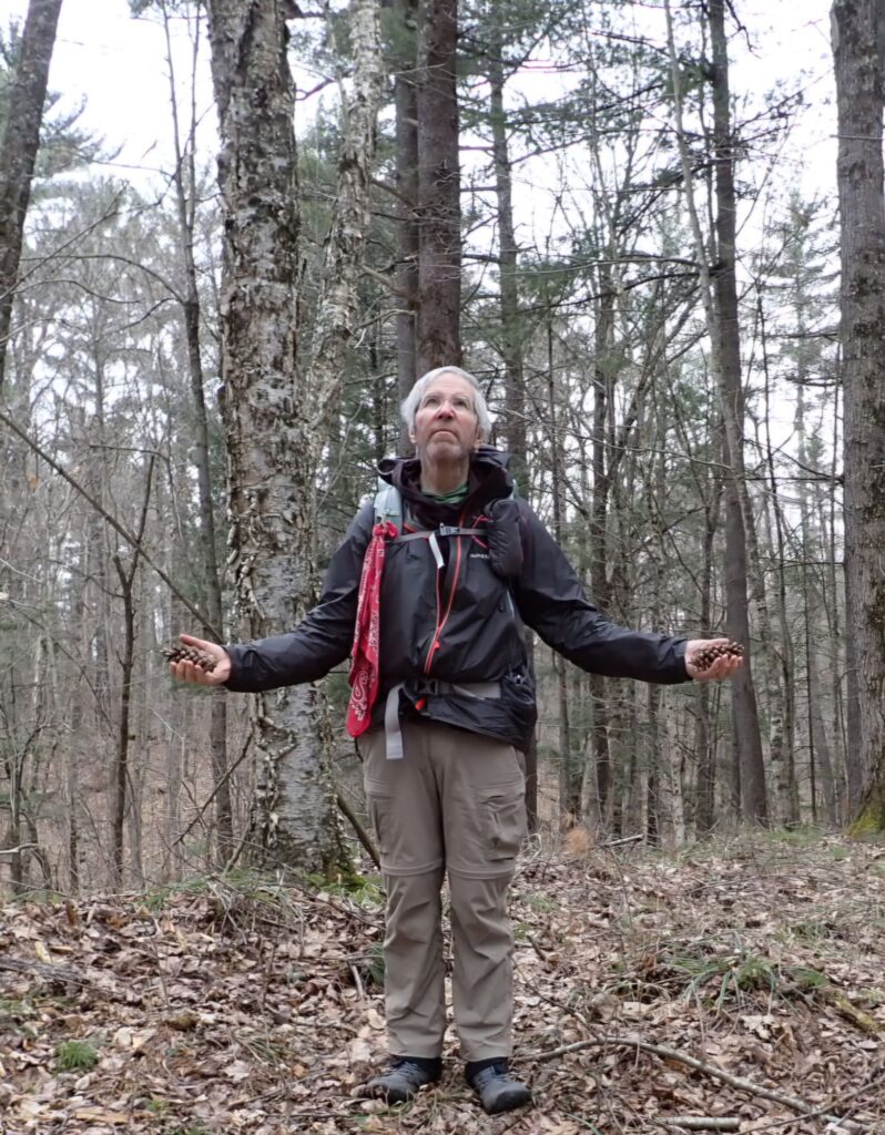
The reality of Jim’s situation shifted my energy on the trail to one of despair, fatigue, and pain. There was no doubt that sadness made my body ache and my hiking uneven. The hummocks were mostly devoid of wildlife except for the occasional squirrel and waterfoul flying away. Silence was no comfort.
Pine cones held up for Jim as a wish for a peaceful passing
On April 9, while thinking constantly of my brother, the tedious, muddy, and boggy trail served to remind me of the courageous battle Jim fought for nearly ten years. So I fought the Ice Age Trail’s boggy Jerry Lake segment all day, desperate for dry, level ground to pitch my tent. When I finally found a suitable campsite in a dark, dense forest carpeted with fallen leaves, I realized Jim’s wife had sent no updates that day. Waiting. I moved slowly while preparing my dinner until I collapsed into my sleeping bag. Zipping the tent fully shut helped me hide from the universe for eight hours. In the darkness of midnight, I checked for messages. Nothing.
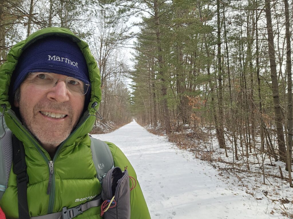
The snow was nearly all melted when I departed the comforts of Rice Lake. After the Uber driver dropped me off at the start of Tuscobia Trail, a wide, flat rail-to-trail, I entered another snowy but easy 11-mile hike to the Bluegill capitol of Wisconsin, Birchwood. Along the way a enjoyed a can of Hamms with my lunch in a bar. The friendly nature of the people I meet is make the short town stops a pleasure. Necessary, too, because sometimes bars are the best places to refill my water bottles! It is also reassuring to know that Bigfoot is alive and well in Wisconsin! With a forecast calling for more snow overnight, I stayed in a motel again.
On April 2, I ventured back to the IAT with 1 to 2 inches of new snow. There are many kinds of snow. For the next two days, I walked in a fresh, slightly wet.snow that lit up the hummocky forest dotted with ponds built by beavers that engineered dams several feet high and solid enough to walk on. At least one such dam crossing was the official IAT trail.
From inside my tent next to the St Croix River I heard what sounded like a large object splashing into the water. Again and again it was the same splashy sound. A big fish, or a very big fish? It was 24 degrees outside, and I could no longer delay my exit from my warm sleeping bag. I looked to the river. Beavers! The two beavers near my camp would slap their flap-like tails before diving into the depths of the river. Perhaps it is their way to scare up breakfast. But the sound of beavers set the tone for the first week of my hike.
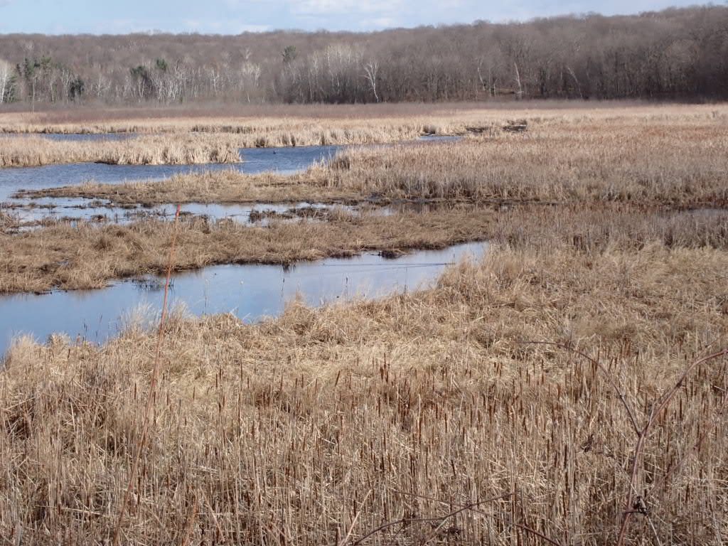
One of the many wetlands along the IAT, this one with a beaver creating a wake in the water
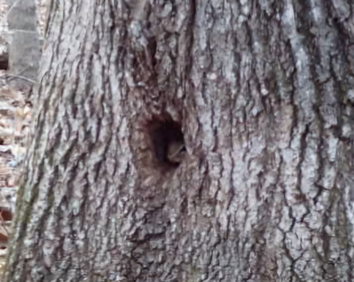
On Days 2 through 5, the weather was outstanding, and the conditions enabled me to enjoy the sights and sounds of wildlife along the IAT. The many ponds and small lakes are homes for swans, Canada Geese, Snow Geese, ducks, and, of course, the beavers. I stopped often to listen. I heard several species of owls hooting day and night. Sometimes, near one of many partially frozen lakes, two Geese would honk in protest of my presence. Nearly all of the first 98 miles of my IAT experience have been solitary except for the birds, waterfowl, a couple of deer, and beavers. Oh, but I will never forget the tiny, curious chipmunk peeking through a tiny hole in the trunk of a large tree.
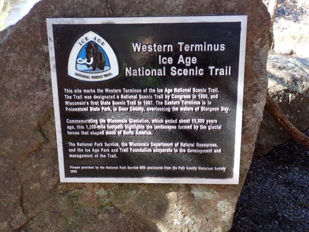
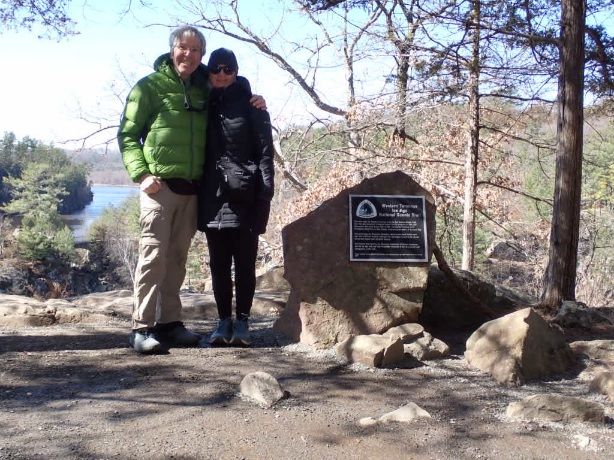
March 24 2025: Cindy and I arrived at the parking lot near the western terminus at noon while I had the Day 1 jitters. A 5 minute walk to the plaque deaignating the IAT and I was ready to start the 1200-mile hike in sunny, chilly weather. Oh, how I was thankful for the nice weather. It could snow in late March. I was grateful for Cindy’s loving support and driving me 45 miles to the trail from St Paul.
Below are photos of the day, 7.9 miles to a riverside campsite on the St Croix River. Check out the links, too!,
This is Post 3 of 3 about my pursuit of the Triple Crown of Long Distance Hiking and the Appalachian Trail. I started in 1995 with the Pacific Crest Trail, but finished far short that year. I hiked the entire Pacific Crest Trail in 1996 and the Continental Divide Trail in 2016. To read the previous posts look for the link “Triple Crown Hikes” or click here.
I was nervous about hiking the AT. “Welcome to New England hiking!” my friend Brownie wrote in an email. “Why the nerves?”, I blogged the night before climbing Katahdin. This was not the well-graded PCT I hiked in my 40s, and Brownie knew it. I was 67, and about to walk and sometimes crawl over steep, rocky terrain for 2,169 miles on the AT for the first time.
The five-hour hike up and down Mt. Katahdin was spectacular. In Maine I embraced the lush forests, ponds and lakes, but learned quickly how the steep, rocky terrain can beat up a SOBO hiker. My good friend Marmot had advice when our paths crossed in Maine. “This is the hardest state on the AT; take more zero days here!” I took the advice and ultimately loved hiking the White mountains and the Presidential range in New Hampshire in great weather. Thru-hiking southbound was a good choice for me.
After hiking the PCT in 1996 I waited twenty years before I could begin a thru-hike on the CDT. Family obligations, a mortgage and an interesting but tumultuous career limited my hiking on the long trails to occasional section hikes. Getting laid off from my job of eleven years relieved me of the stresses or a corporate career. After I announced to my Facebook friends I would attempt the CDT in 2016 I received an invitation from Whitney “Allgood” Laruffa to join a group he named the “Portland Mafia,” a collection of our friends who planned to hike the CDT. I knew nothing about hiking in New Mexico, and attending CDT Trail Days in Silver City before starting the hike was an introductory course for hiking the state. The old mining town has a rich history and robust revival as an arts community, and I looking forward to hiking into town soon after embarking from the border with Mexico on April 18.
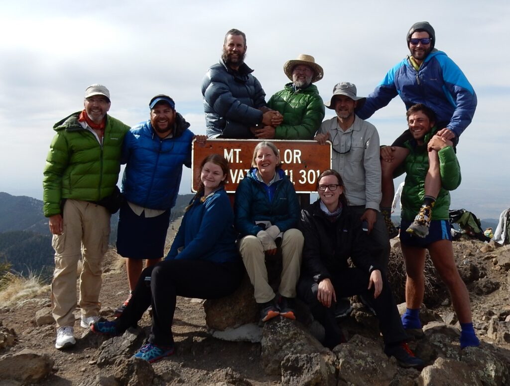
The “Portland Mafia” and friends on Mt. Taylor, New Mexico, May 14, 2016
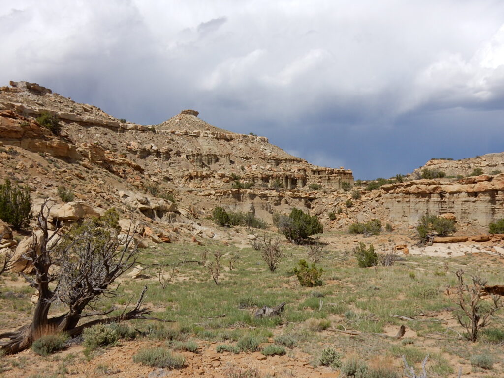
Mesa Portales, New Mexico, May 16, 2016
Mesa Portales, New Mexico, May 16, 2016
With Moni (Cheezy) and Emma having south of Chama, New Mexico, May 26, 2016
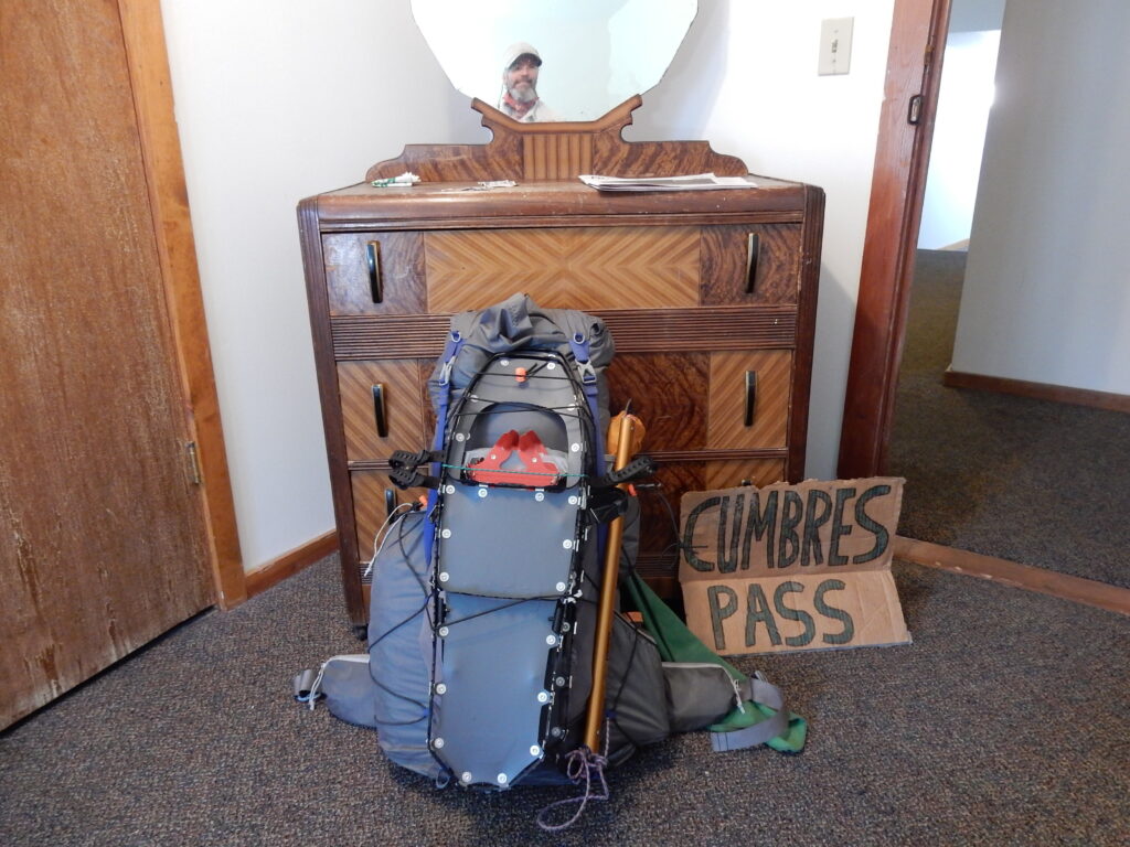
Packed and ready to head into the South San Juan Mountains, June 3, 2016
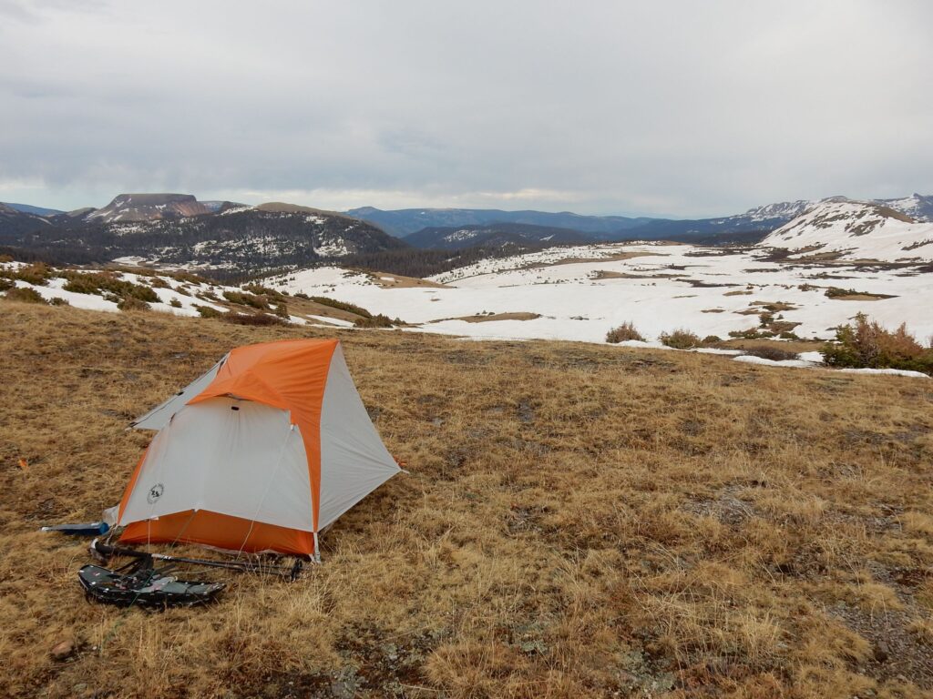
South San Juan Mountains, Colorado
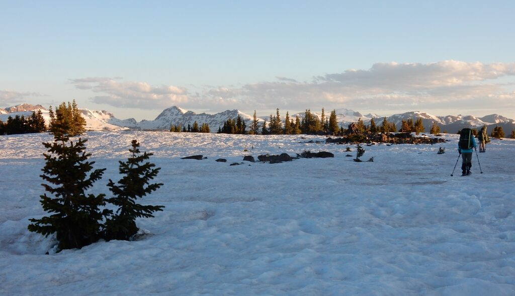
South San Juan Wilderness, June 5, 2016
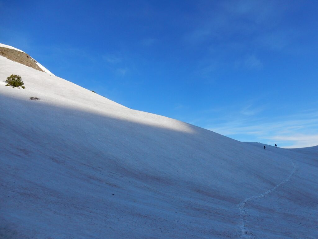
Traversing in the South San Juan Mountains, Colorado
CDT hiker Elusive takes a precision slide at Lake Ann Pass, Colorado
Hope Pass, south of Twin Lakes, Colorado, June 27, 2016
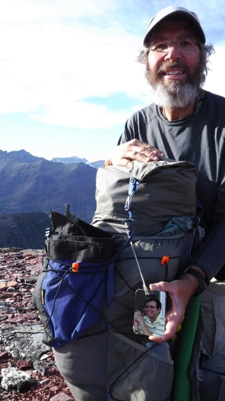
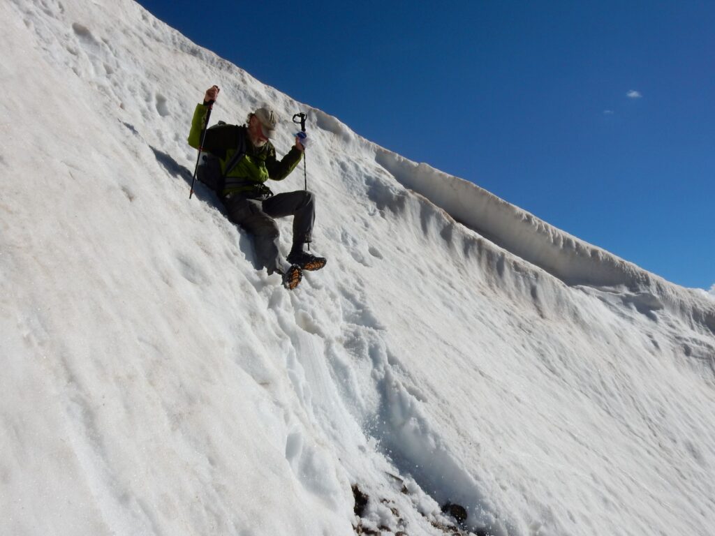
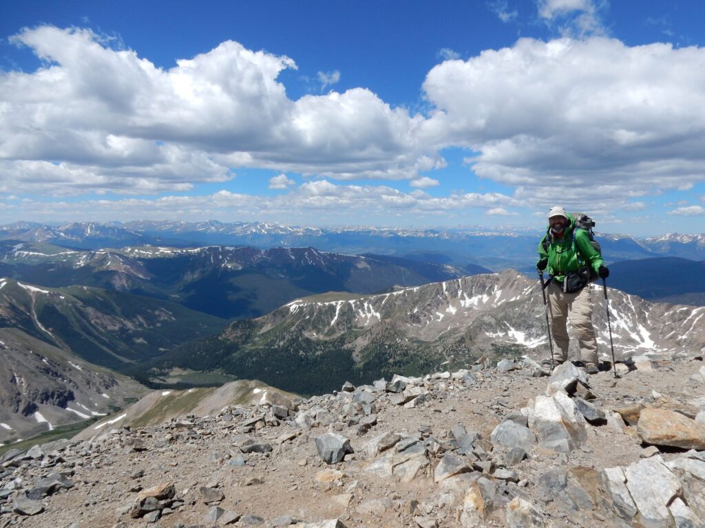
Footprint and Stormrunner near 14,270′ Gray Peak, Colorado on July 6, 2016
Grays Peak (left) is on the official route of the CDT, July 6, 2016.
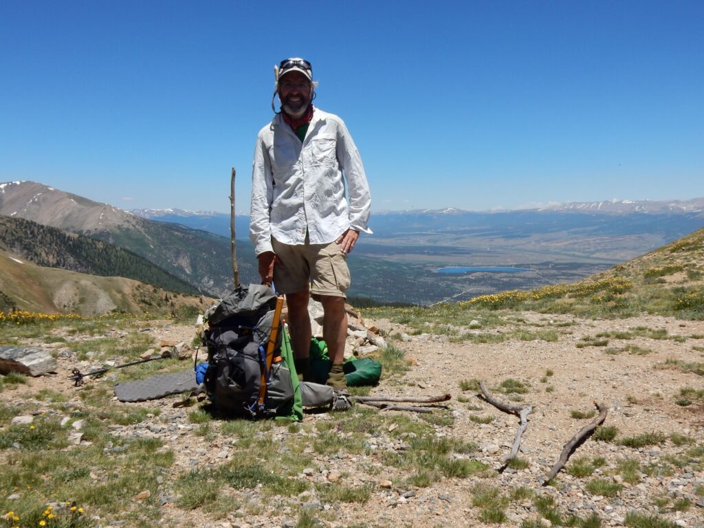
On the summit of Grays Peak (14,270′) on July 6, 2016
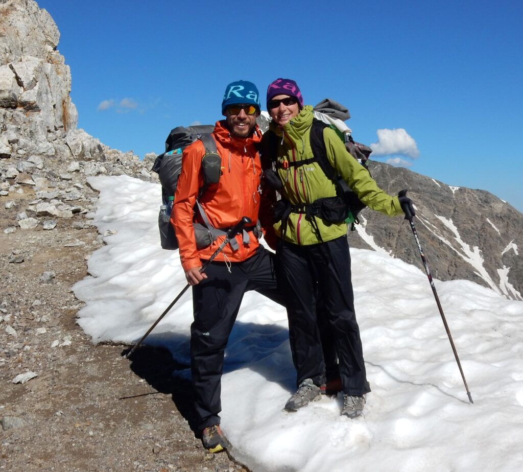
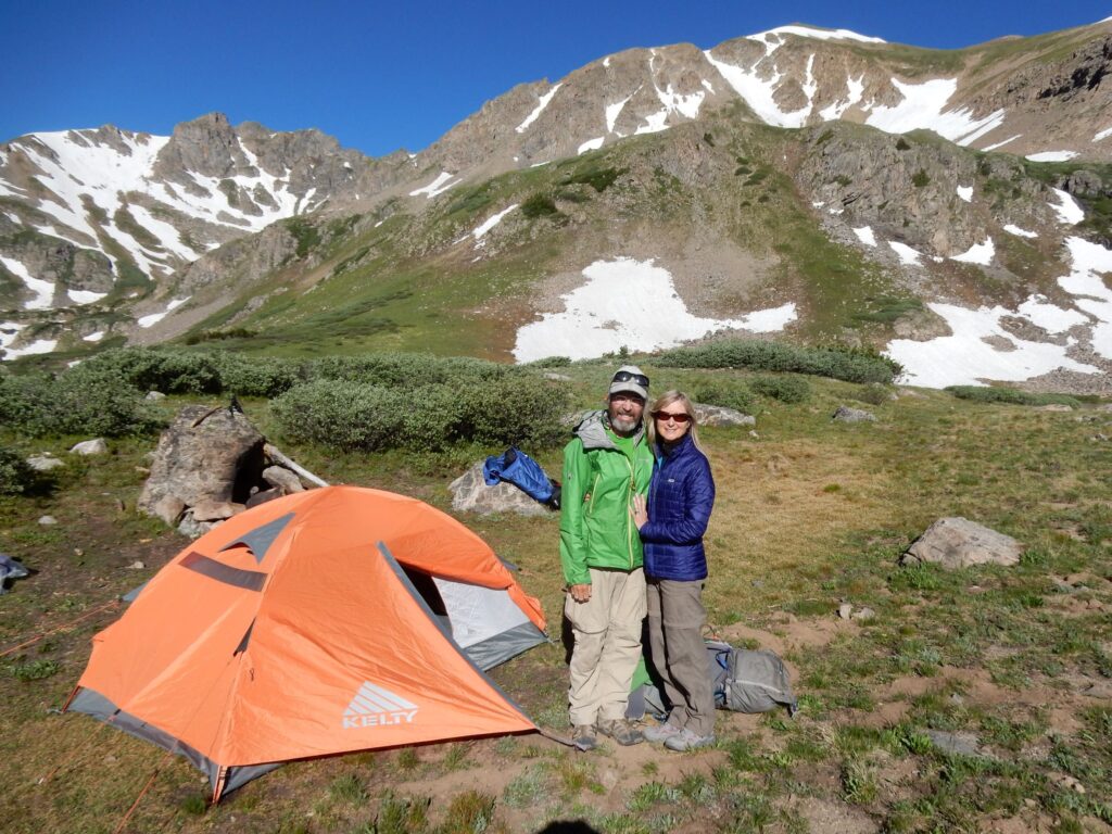
Cindy and I celebrated our wedding anniversary on the CDT next to Herman Lake, Colorado, July 6, 2016
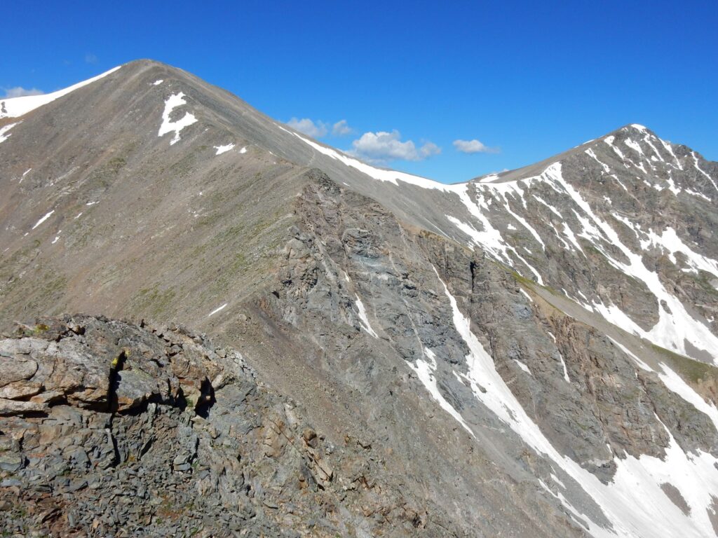
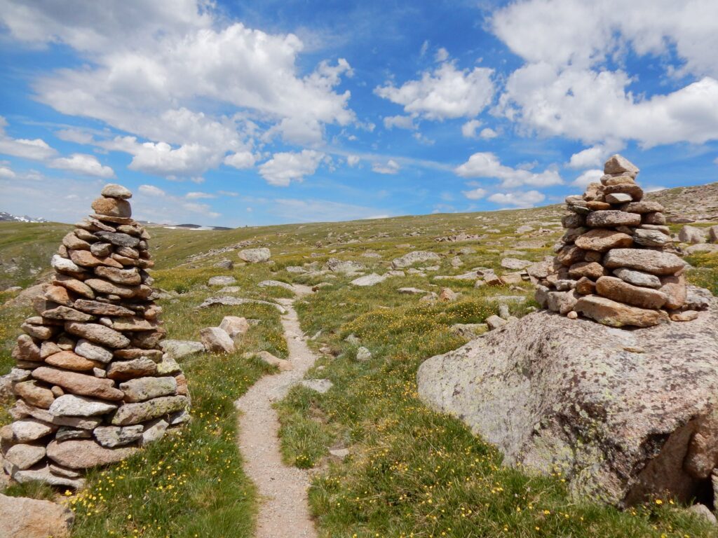
On the Rocky Mountain N.P loop, July 15, 2016
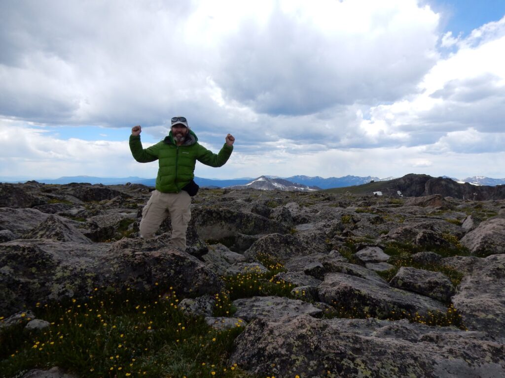
On the summit of Flattop Mountain (12,329′) in Rocky Mountain National Park, the place of my first wilderness hike in 1977.
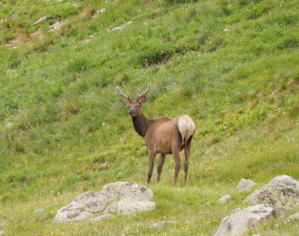
Elk along the Rocky Mountain N.P. loop, July 15, 2016
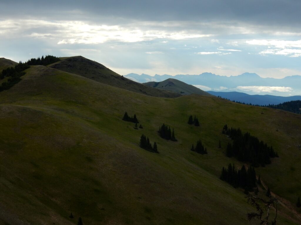
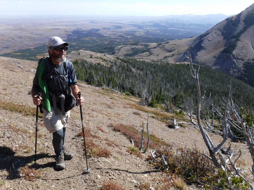
View from Sheep Mountain (11,825′) back towards Rocky Mountain N.P., July 19, 2016
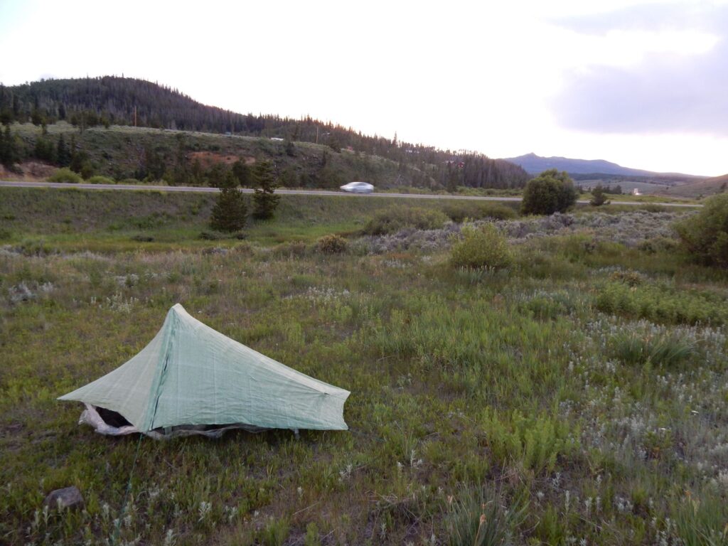
Not a great camp, along Hwy 14 south of Steamboat Springs, Colorado, July 19, 2016
Encampment, Wyoming for a short, unplanned stop to rest the injured knee on July 26, 2016
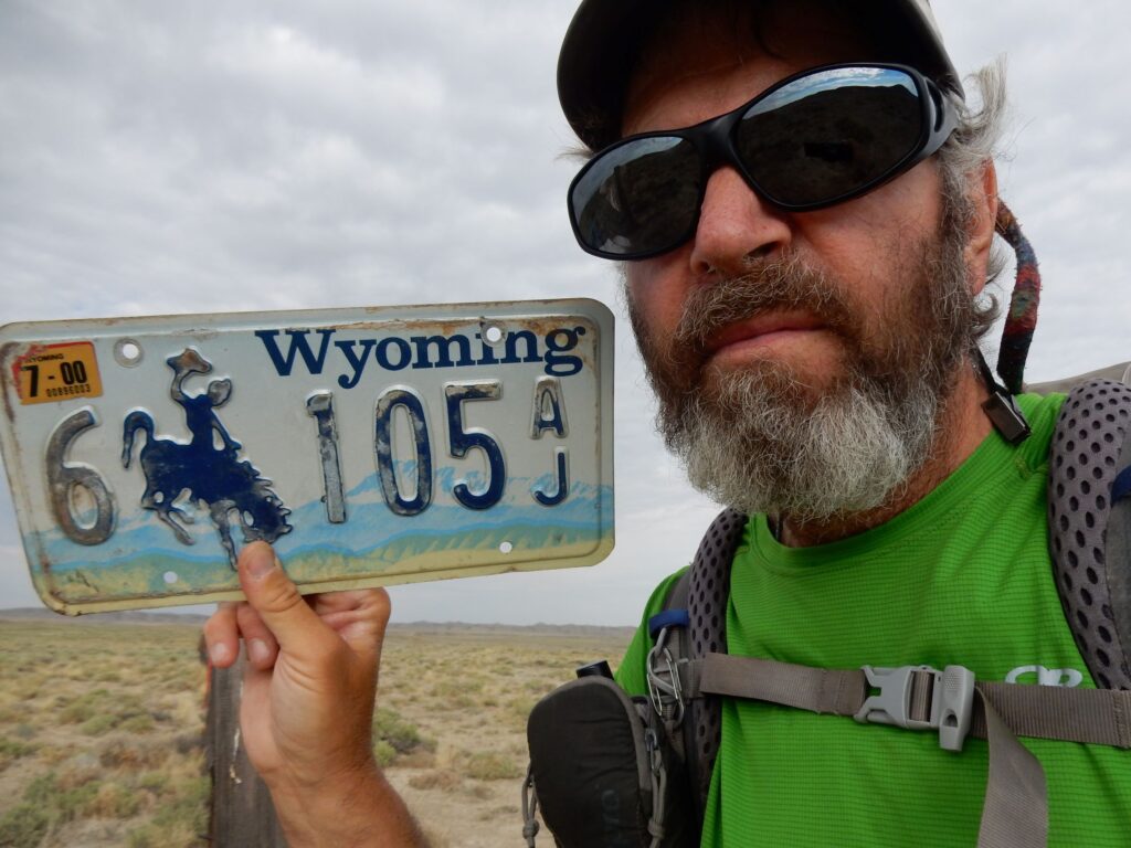
Great Divide Basin, Wyoming
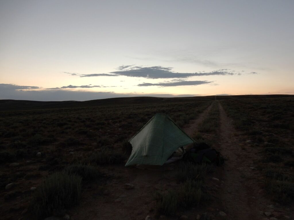
Camping on the jeep track in the Great Divide Basin, Wyoming on July 31, 2016
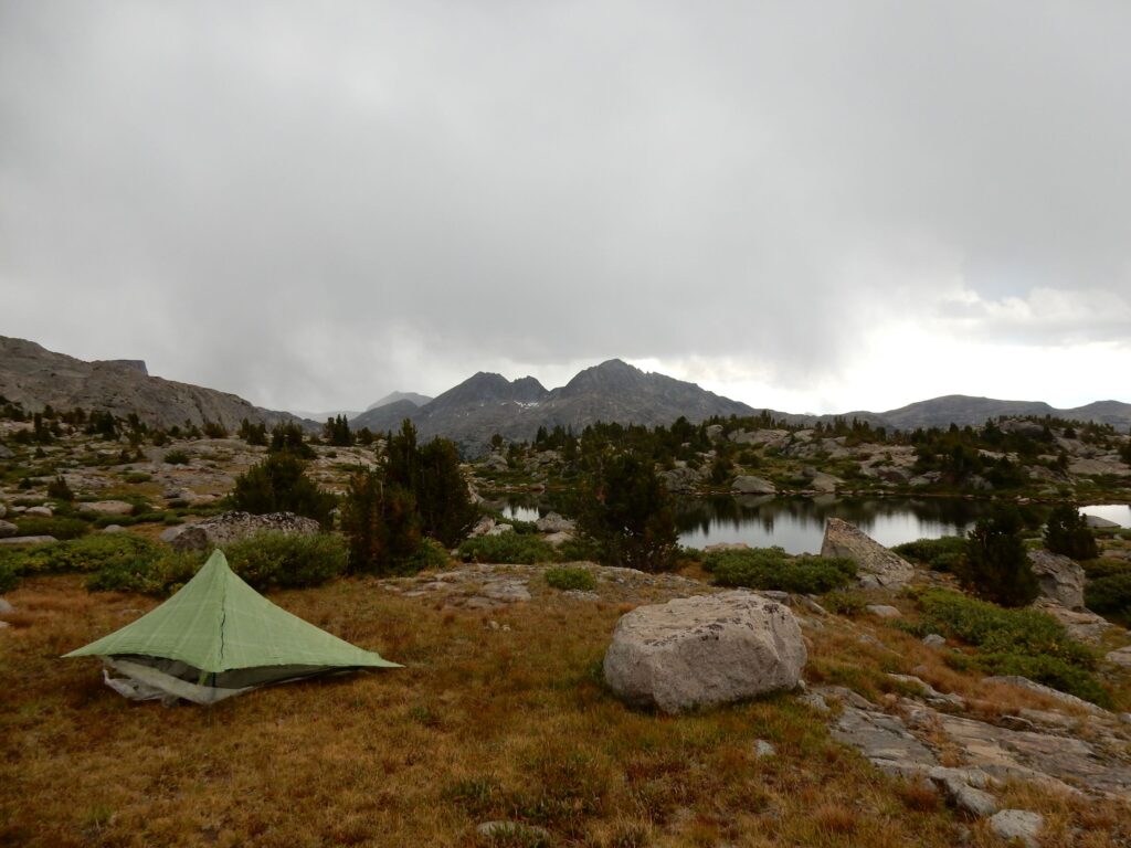
Wind River Range, Wyoming as the thunderstorm approached, August 11, 2016
Ascending from the Green River area to Gunsight Pass, Wyoming, August 13, 2016
Sheridan Pass, Wyoming, August 14, 2016
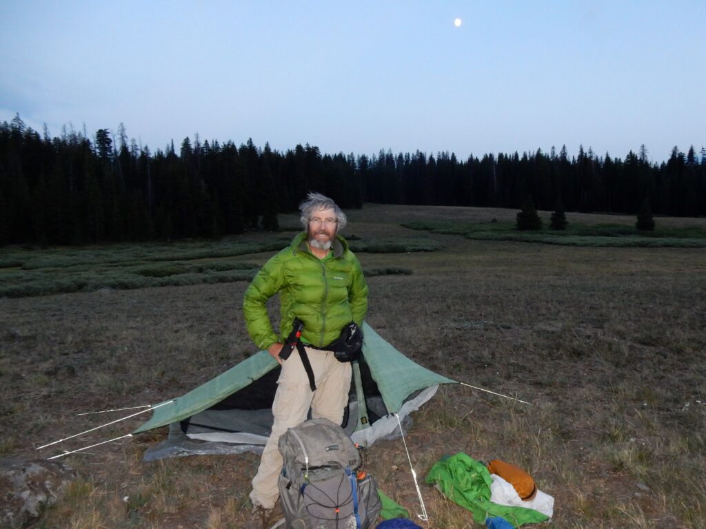
Teton Wilderness, Wyoming in the heart of grizzly bear country, August 17, 2016
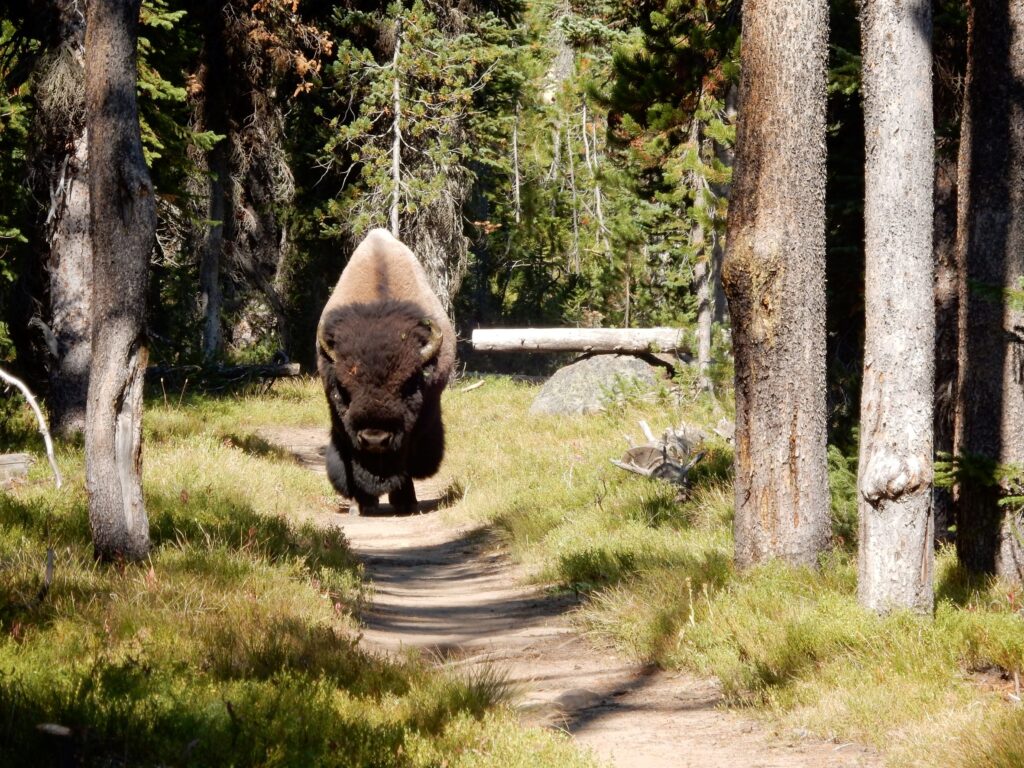
Bison approaching on the trail in Yellowstone National Park, August 22, 2016
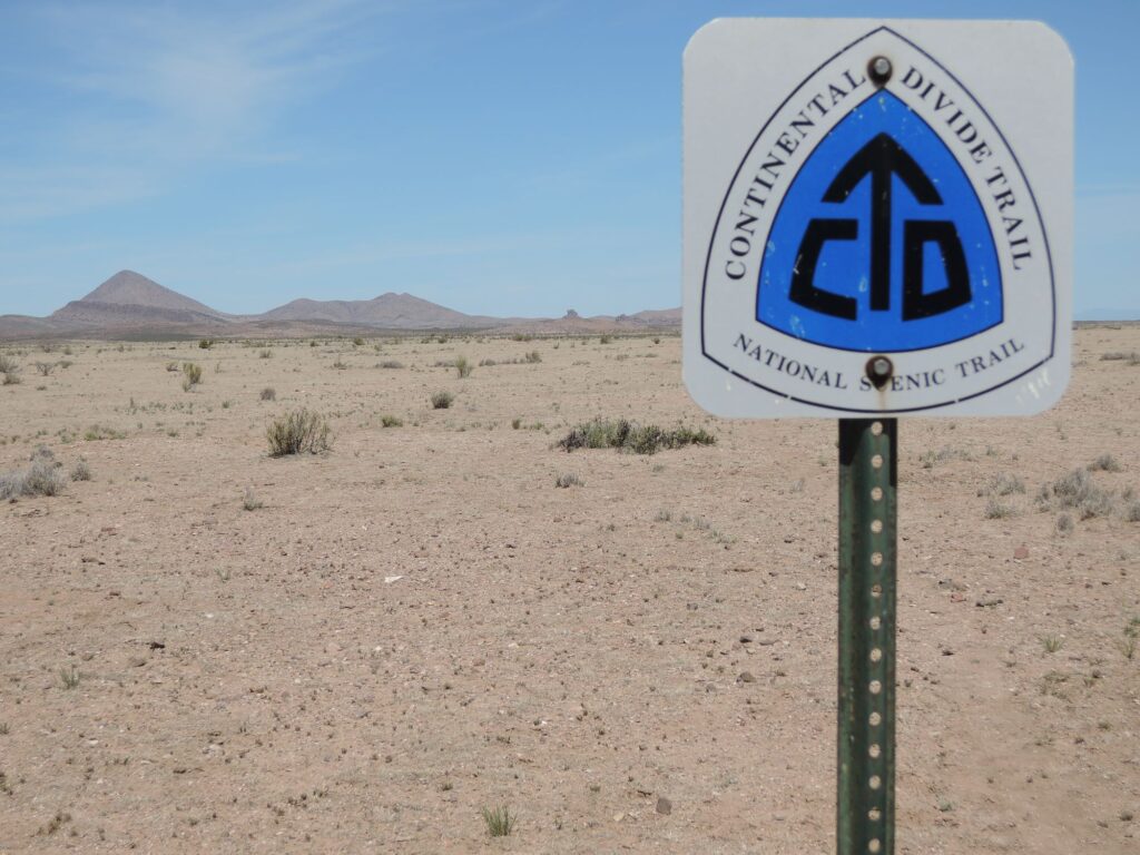
Bannack Pass, Montana where the CDT crosses South Medicine Lodge Road on August 31, 2016
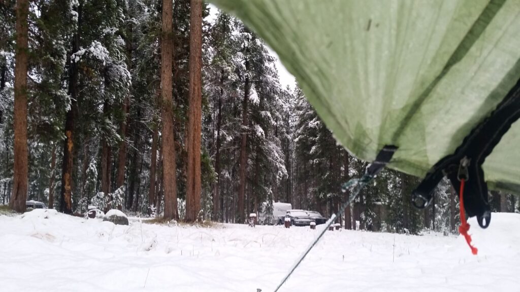
Several inches of snow at the Mono Creek Campground in the Pioneer Mountains, September 5, 2016
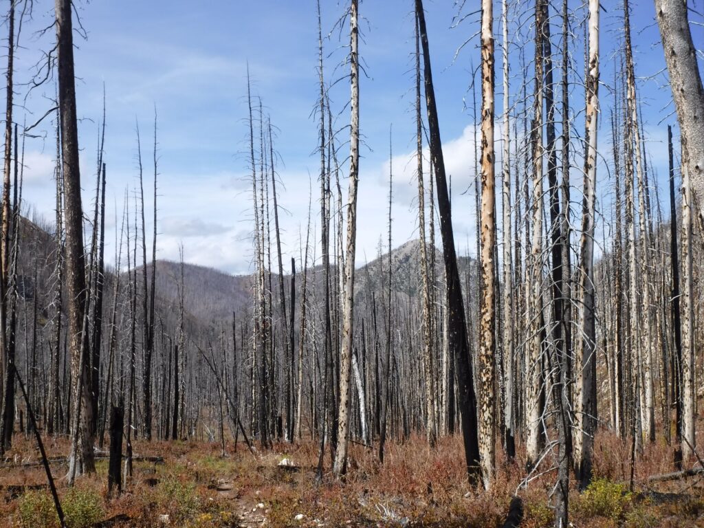
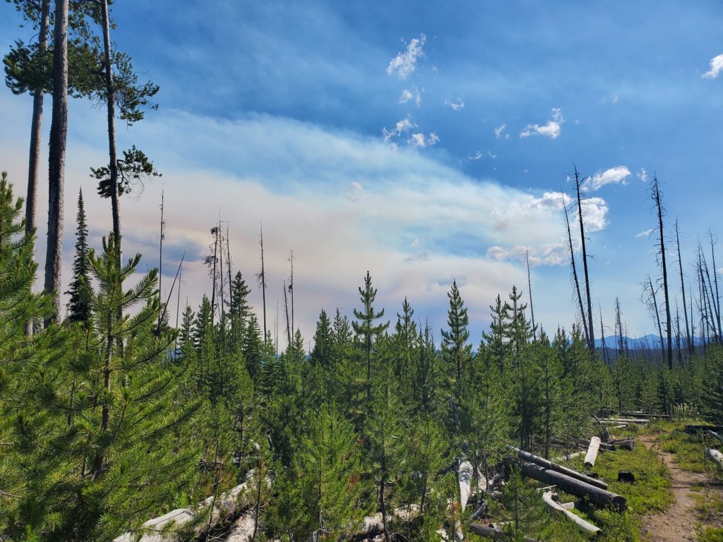
A burned area in Scapegoat Wilderness, Montana, September 19, 2016
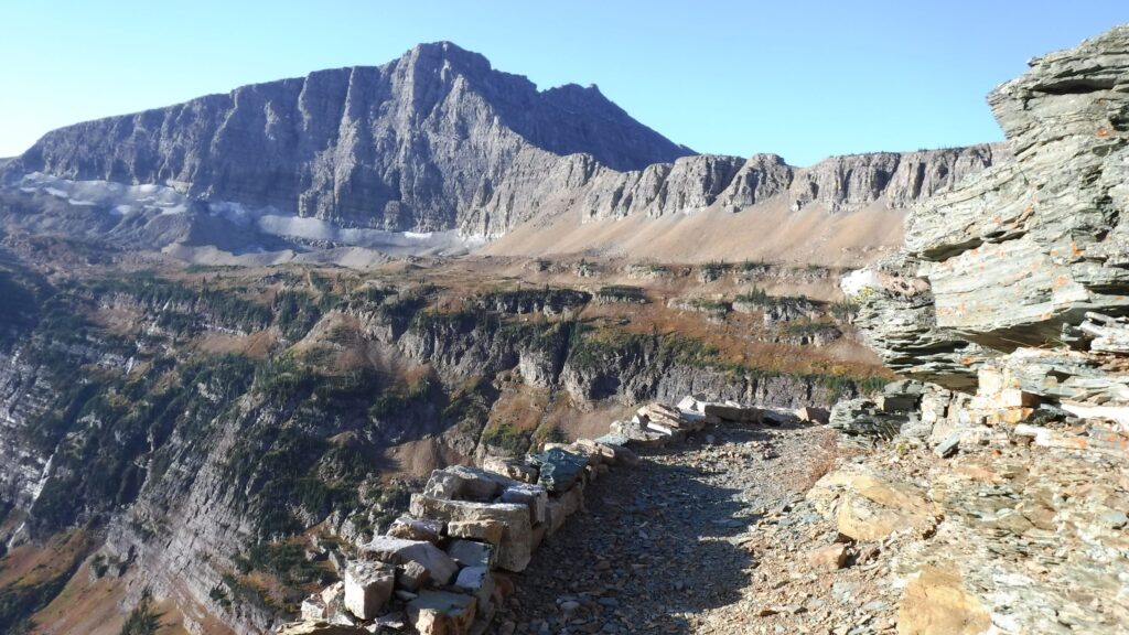
Ascending from East Glacier in Glacier N.P., September 28, 2016
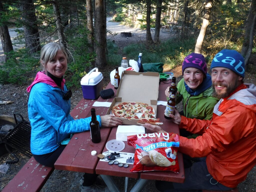
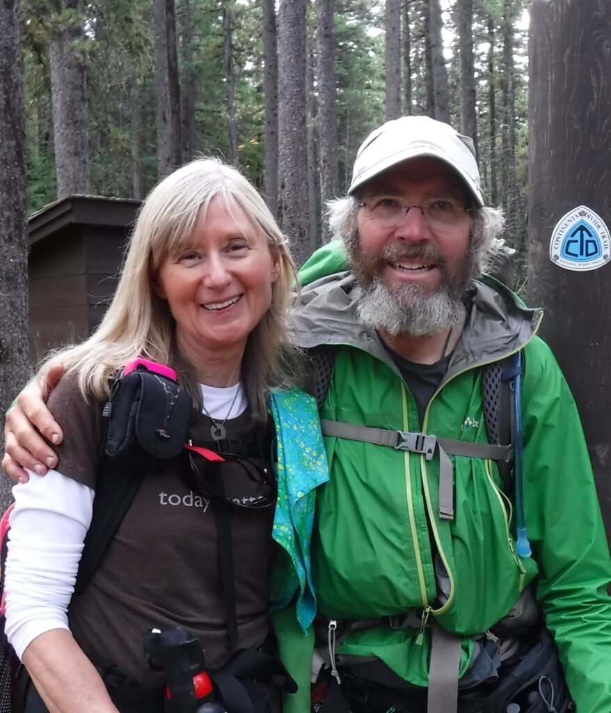
Cindy, Stormrunner and Footprint at the Two Medicine Campground in Glacier N.P., September 28, 2016
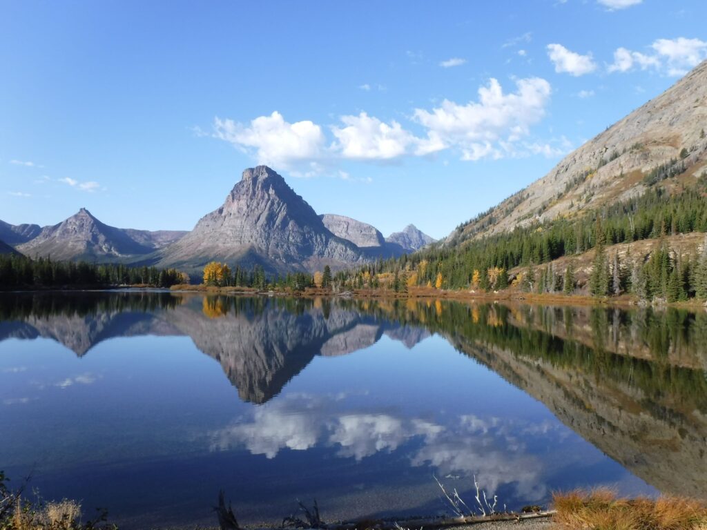
Iconic view of Two Medicine Lake, Glacier N.P., September 29, 2016
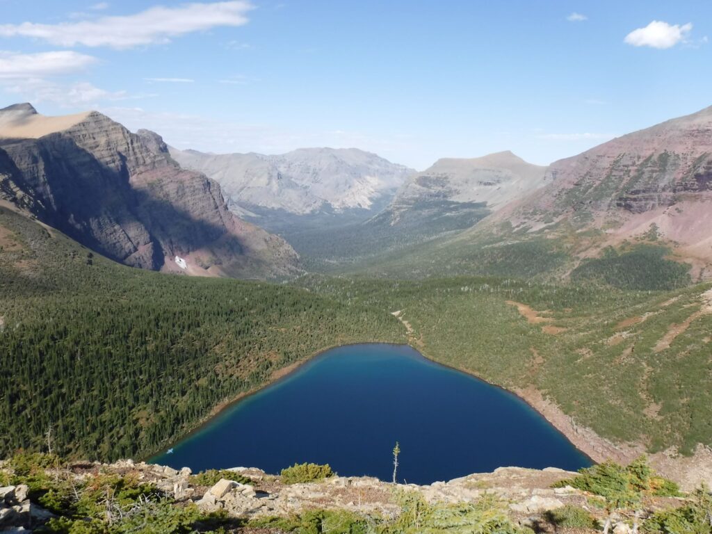
Pitamakan Lake and the Cut Bank Creek valley as viewed from Pitamaken Pass, Glacier N.P., September 29, 2016
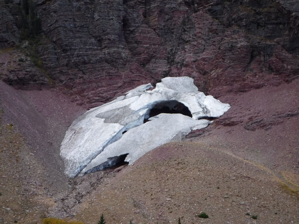
A disappearing glacier above Morning Star Lake, Glacier N.P., September 29, 2016
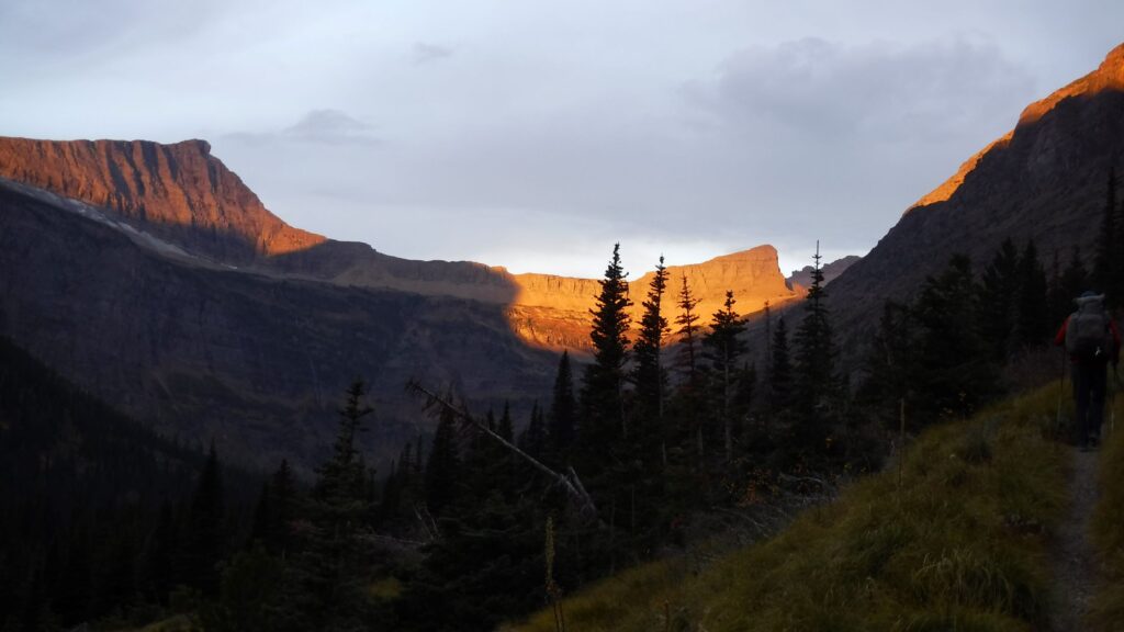
Approaching Triple Divide Pass in the early morning of September 30, 2016
Approaching Triple Divide Pass, Glacier N.P., September 30, 2016
Approaching Triple Divide Pass, Glacier N.P., September 30, 2016
With Cindy just steps from Canada, October 3, 2016
Trouble happened even before I took step one on Day 1. After showering in the motel room in Lordsburg, I screamed fearfully after jamming a toe into the bathroom door. Despite the pain, and convinced that the toe was not fractured, I climbed in the vehicle driven by Tereasa Martinez, the Executive Director of the CDT Coalition, rode the bumpy gravel roads to the Mexican border, and soon took my first-ever steps on a hiking trail in New Mexico on April 18.
With a heavy heart I waited for Ronnie to pick me up for the drive from Salmon to Chief Joseph Pass. The nearby Moose Creek fire had expanded to over 20,000 acres and two helicopter pilots died in a crash while fighting the wildfire. My complaints of breathing smoke and watery eyes were trivial. The effort to hike on the first day back on the trail was easy compared to the tough and dangerous work done by fire crews.