
Jeff, who owns the Green Mountain House hostel in Manchester Center drove me to the trailhead about eight miles from town as a few raindrops hit the windshield. The weather was to improve, though, and I was optimistic my return to the AT after a zero day would be physically and mentally positive. The map of the trail, especially the part that represented a day’s worth of progress, foretold a great day on the trail. Even better, though, I looked forward to hiking into Massachusetts in just over three days.

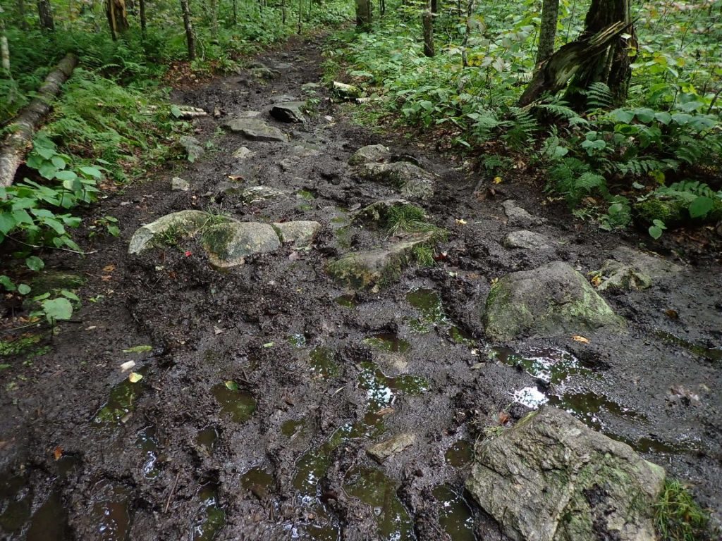
Over the first few miles I felt a good pace under my Salomon shoes, although the mud pits on trail coated them with the black muck. Vermud is what they call this state. When I reached an old, closed road I began to think of trying for 20 miles. I picked up the pace and thought, “how about three consecutive 20-mile days. That would land me in Williamstown, Massachusetts by Sunday. But there was also the potential drama of a storm moving in. Another hiker doing the Long Trail asked me if I knew about the hurricane approaching. “Really?” I filed this away for a later moment with good cell coverage.
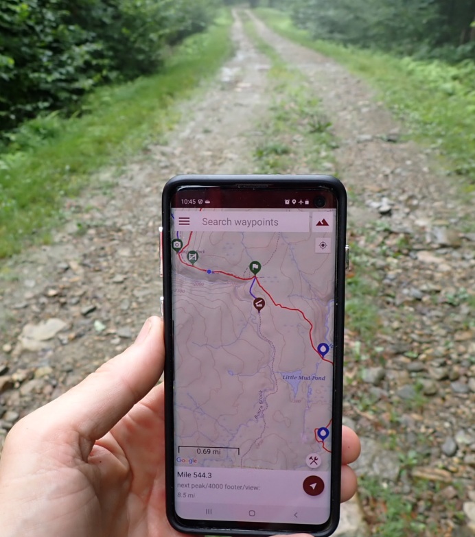
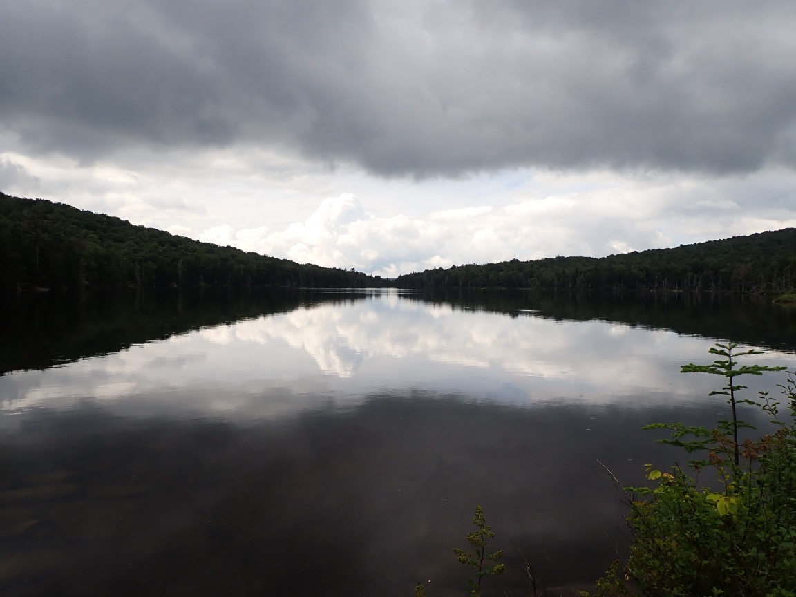
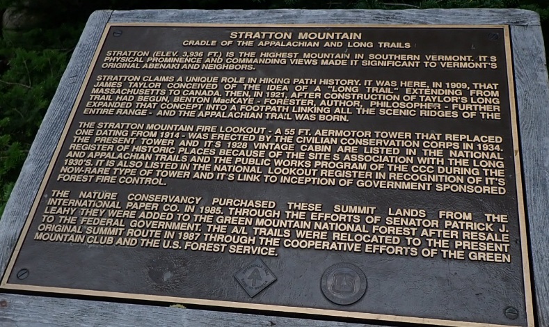
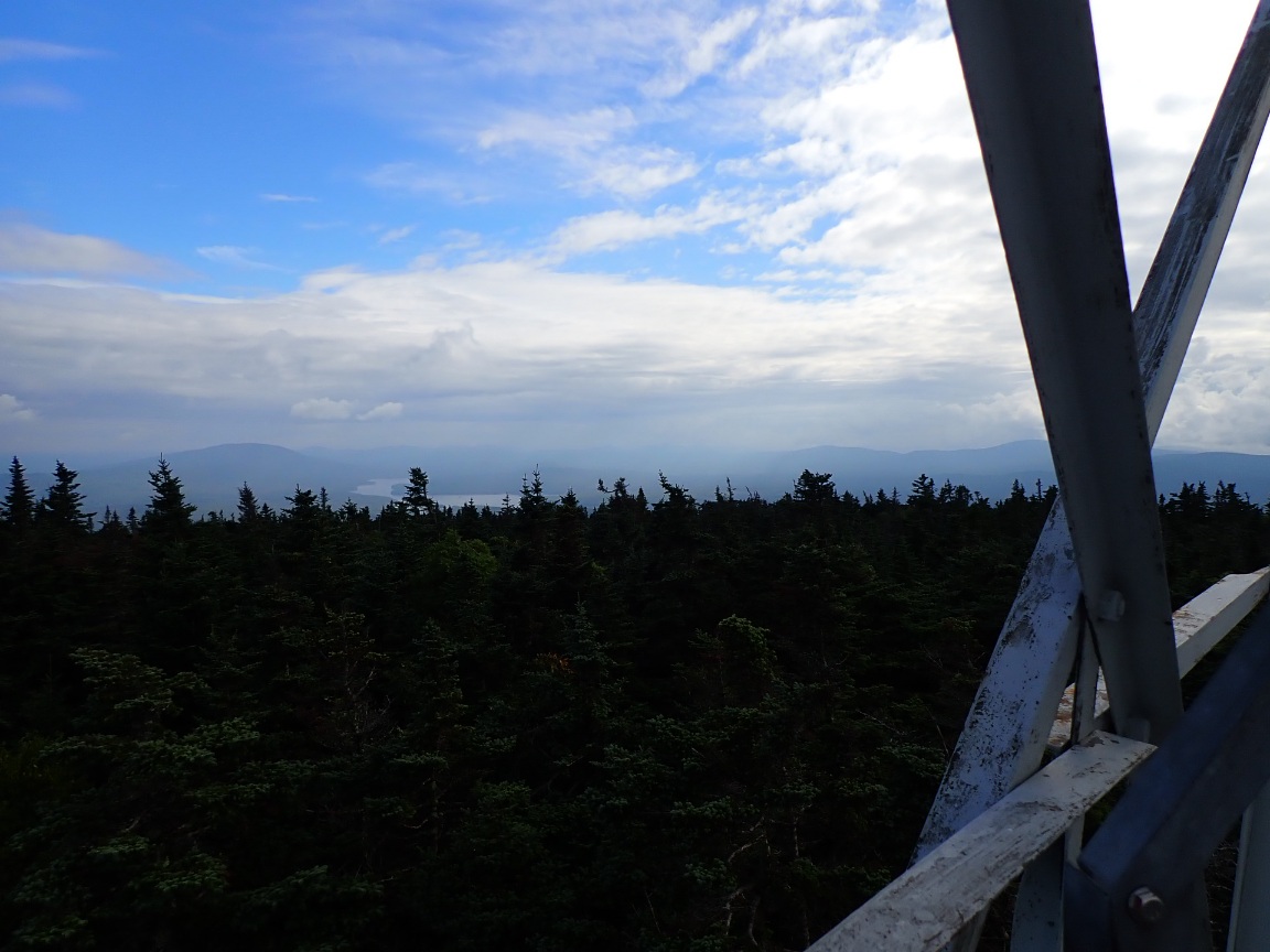
After hiking past Stratton Pond I felt I still had a chance to reach 20 miles for the day. On good, smooth trail I ascended toward Stratton Mountain (3,940′). On the top I climbed part way up a historical lookout tower. The high elevation facilitated strong LTE coverage. It was there I checked a weather app and began to learn about Hurricane Henri, which was approaching New England! The worst of the storm and heaviest rainfall was predicted for Monday. If I could get to Williamstown, Massachusetts by Sunday by hiking 20 miles per day I could shelter in a hotel while the hurricane made landfall not that far away.
On the descent from Stratton Mountain my legs got wobbly, the right knee occasionally flaring with minor pain, the result of Killington Mountain days ago. It was obvious 20 miles would be way too much for me at this point in my thru-hike. A more reasonable goal was a brook at the 18.5 mile point. Now in mid August the dense forest was darkening earlier in the evening. Even at 7pm I was concerned about visibility under the forest canopy shaded even more by cloud cover. A well-used campsite near the gravel Kelly Strand Rd. looked inviting. I tallied 17.5 miles for the day and realized it was the second highest daily mileage of the hike. I accepted the fact I am not a 20-mile per day AT hiker yet. Maybe in Massachusetts but not Vermont. In my tent I fell asleep wondering how to deal with a hurricane. A hurricane! In Vermont.