
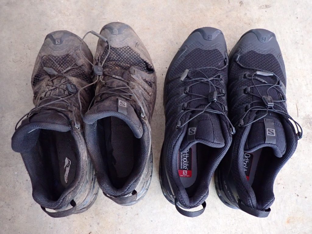
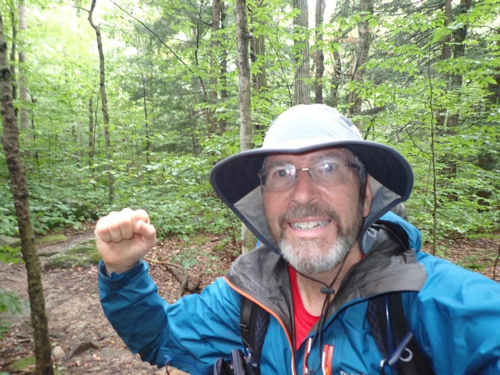
Oh, the energy to write daily posts for this blog is not always present. I am happy to report that no trail drama, injuries or gear failures have set me back. In fact, I feel great physically and mentally. At this point in the hike, having hiked over 600 miles and completed over 25% of the AT, I feel like a thru-hiker now. And I can make some judgements.
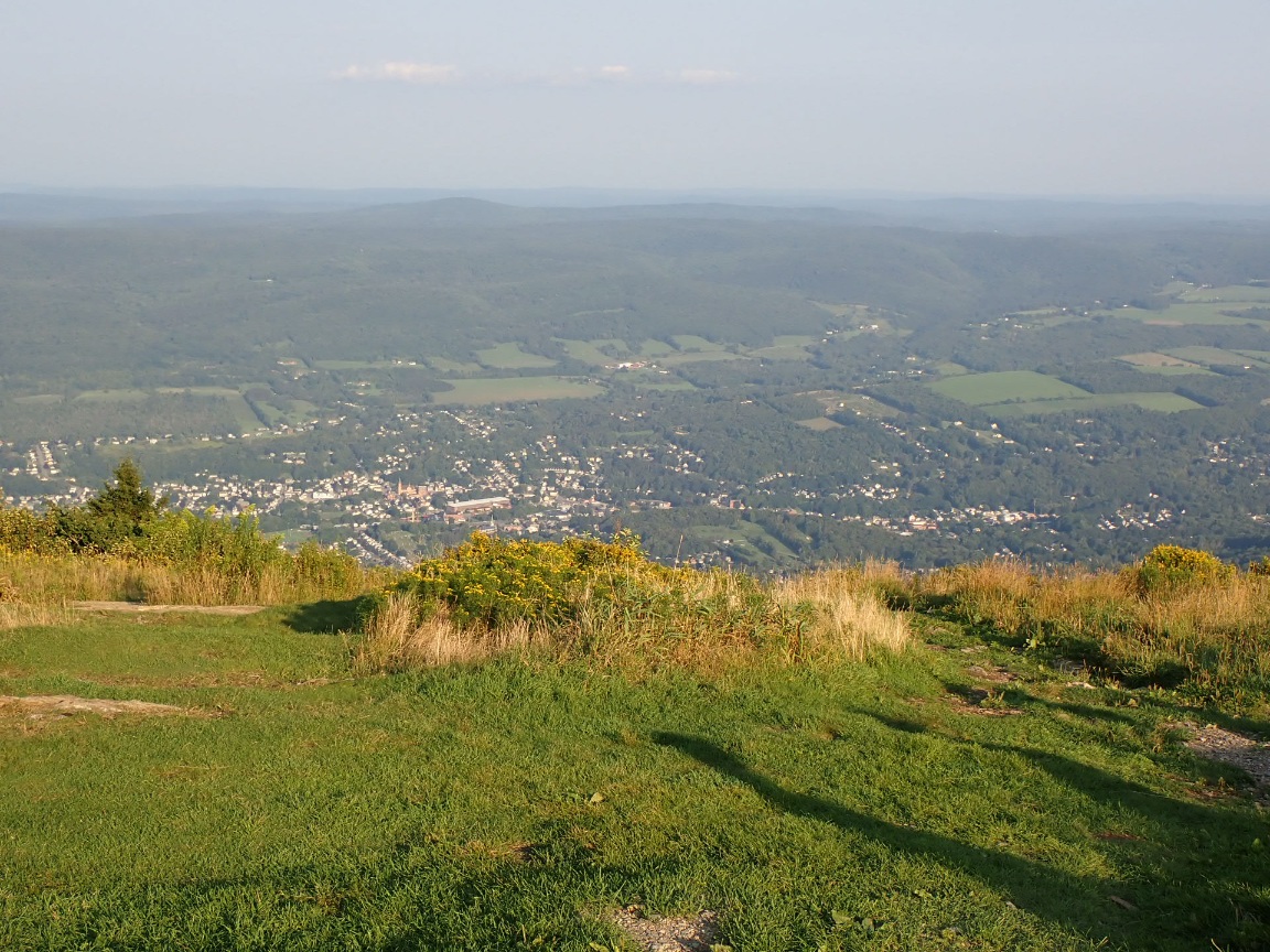
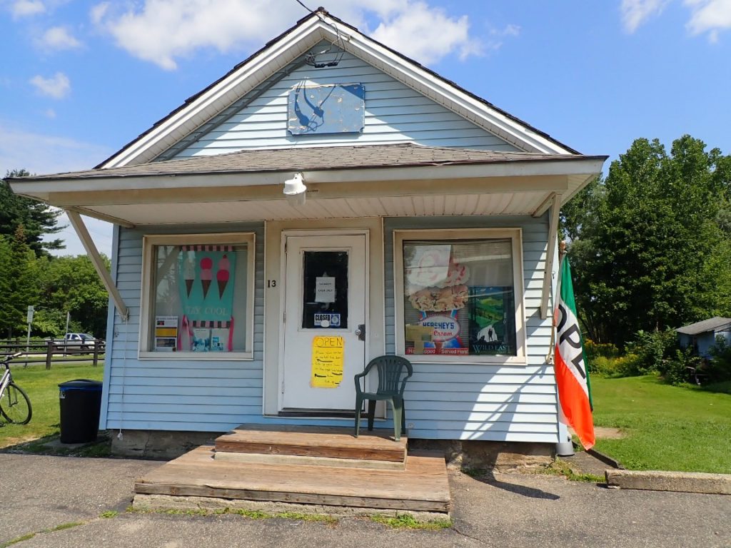
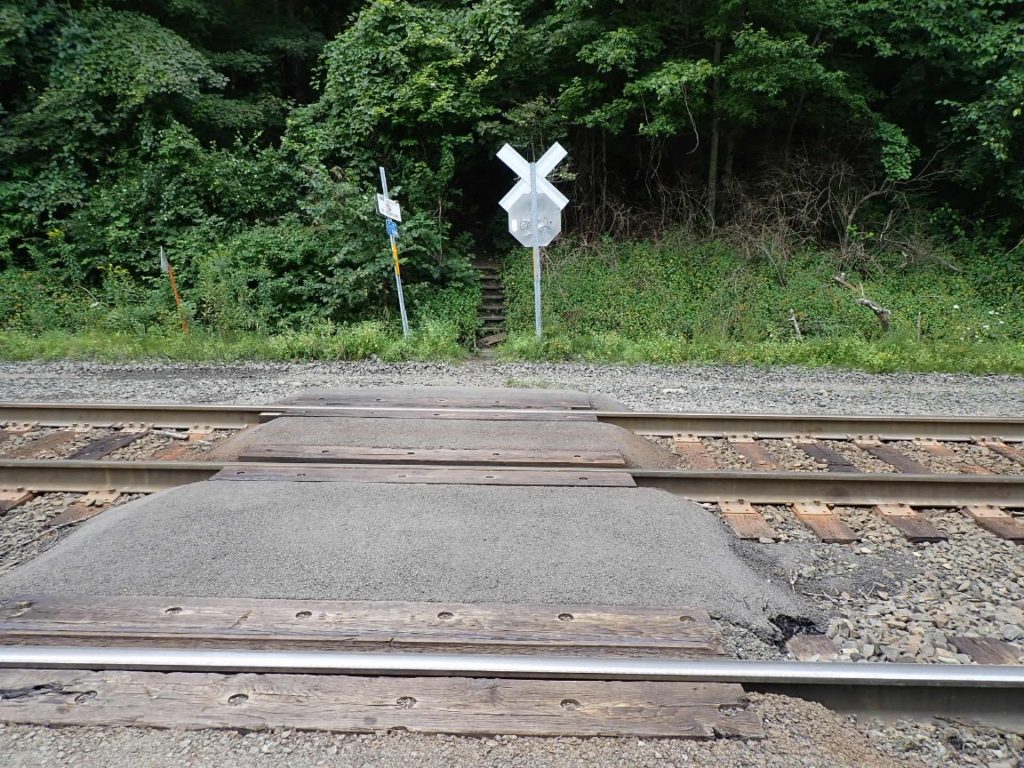
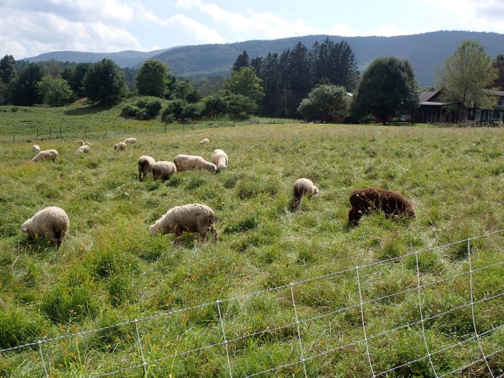
The AT does not feel like a wilderness trail experience. There are so many encounters with civilization now. Ever since I descended from Mt. Mousilauke in New Hampshire on August 6, when I saw the first pastures and lawns along the trail, the scenes are nothing like the challenging and more remote mountains I struggled with and conquered. This observation is not a complaint. Rather, it is a recognition the thru-hike is in a phase that includes ice cream, nice food co-ops, roads, farms, livestock and miles and miles of the famous Green Tunnel…I mean tree canopy!
Since entering Massachusetts my days went like this:
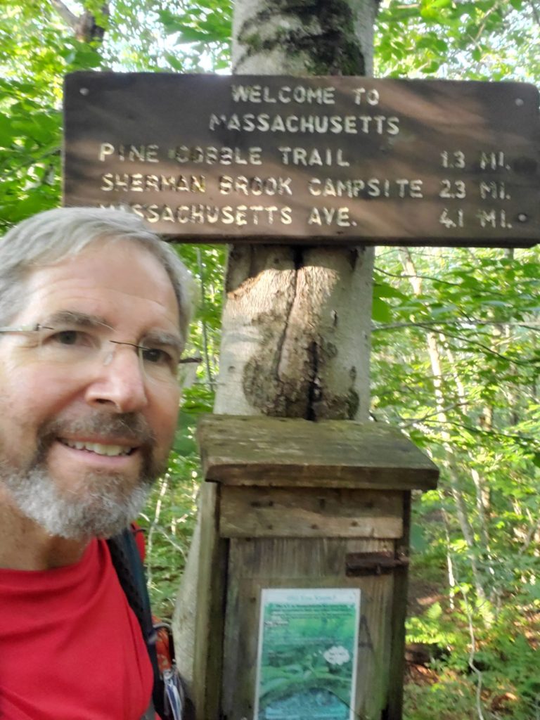
Day 64, 25-Aug: Milepost 604.2, Daily 11.5 miles. Ascent 3545′, Descent 2475′, Highest 3455′. Camp: Mt. Greylock, below summit. 3260 Entered Massachusetts! Very tough 3400′ climb to Mt. Greylock, 3487′. Stealth camp below summit and Bascom Lodge.
Day 65, 26-Aug: Milepost 619.5, Daily 15.3 miles. Ascent 1910′, Descent 3995′, Highest 3305′. Town: Dalton, Bill Shea’s home. I hiked with Bill and his brother-in-law Tony in Maine. Fun days!
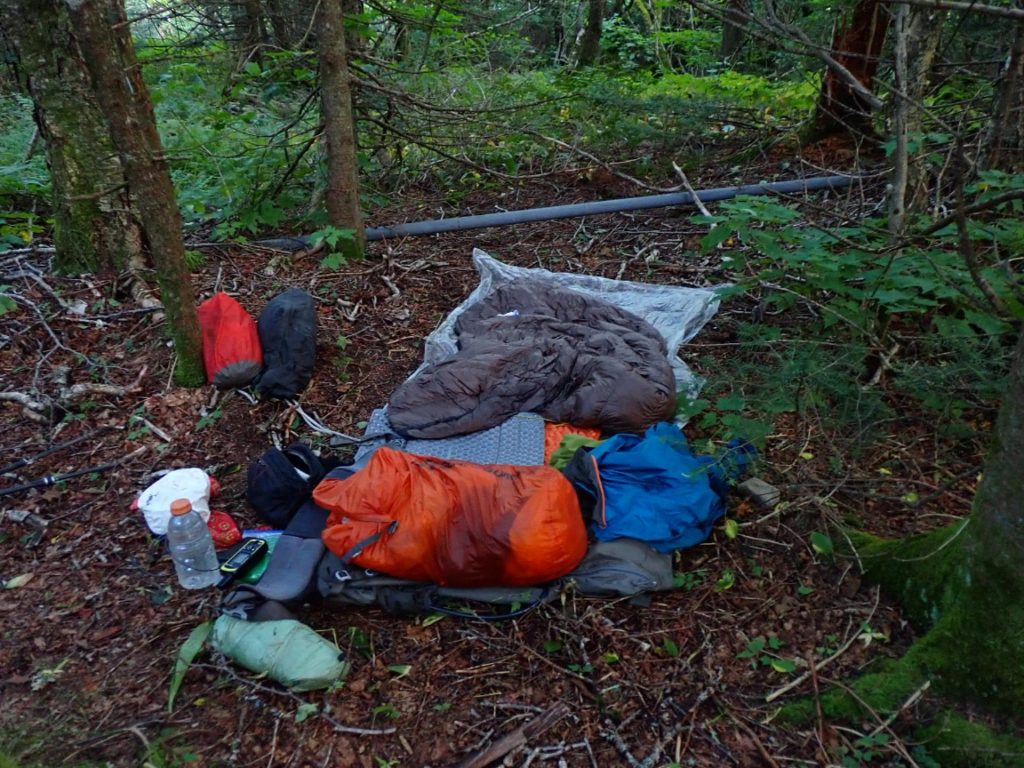
Day 66, 27-Aug: Milepost 632.7, Daily 13.2 miles. Ascent 1915′, Descent 1310′, Highest 2075′. Camp: October Mtn Shelter, October Mtn State Forest, 1915′. Departed Bill Shae’s home. Easy but sweaty hike for 7 hours in hot, muggy weather.
Day 67, 28-Aug: Milepost 651.5, Daily 18.8 miles. Ascent 2825′, Descent 3915′, Highest 2170′. Camp: Shaker Campsite, Beartown State Forest. Most daily miles so far. Cool temps with showers, excellent hiking in lush forest, moderate trail grade.
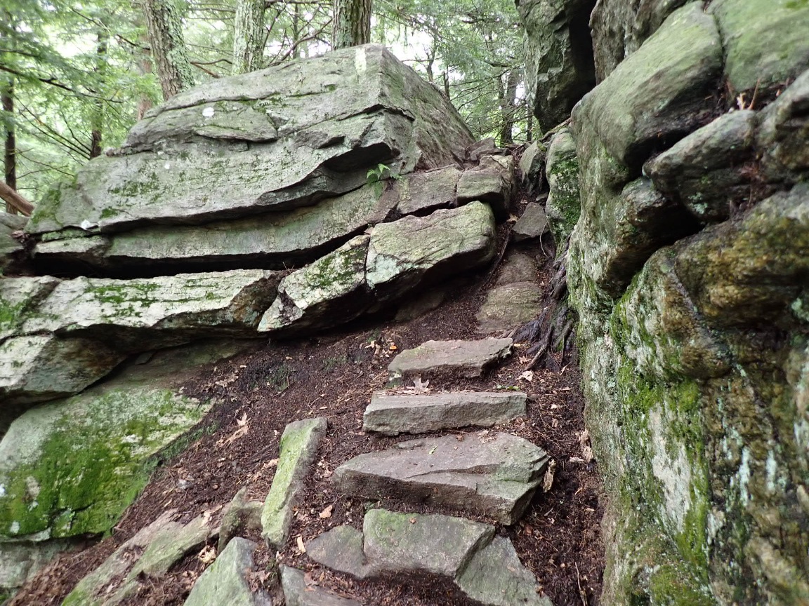
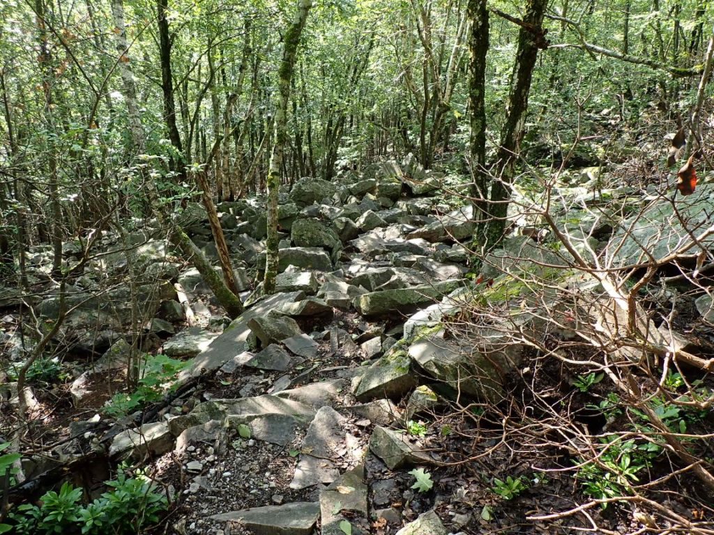
Day 68, 29-Aug: Milepost 669.2 miles, 17.7, Ascent 3595′, Descent 3785′, Highest 2050′, Town: Great Barrington, MA. Easy start, tedius, strenuous last 6 miles through East Mtn State Forest.
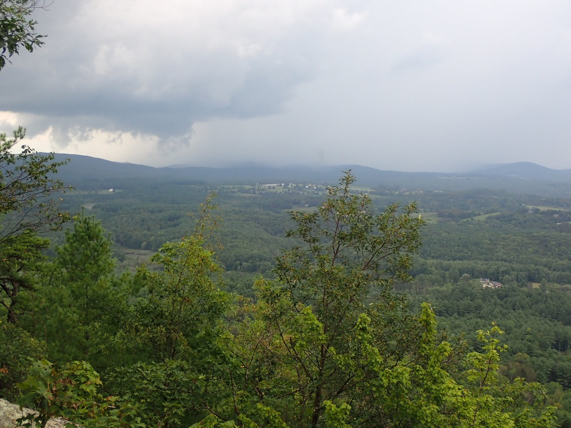
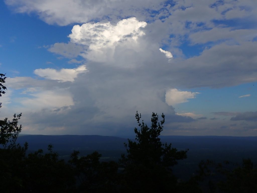
Day 69, 30-Aug: Milepost 677.1 miles, Daily 7.9, Ascent 1855′, Descent 665′, Highest 1985′, Camp Glen Brook Shelter, Mt Everett area, 1896′. Left Great Barrington after a resupply. After flat, mosquito area, climb to and along 2 mile long ridge was tough going. Thunderstorms were in the area. Last full day in Massachusetts.
Almost eclipse the 19 mile mark, your next goal? Keep staying healthy! My knees could never handle the rocks you have to climb
Hello Greg in Wild. Your lovely wife ” Snake Maiden”, aka my daughter Cindy, is leaving this morning for her adventure of hiking El Camino in Portugal. I wish both of you safe travels and tons of JOY. Love to both of you.
Happy, safe travels!