
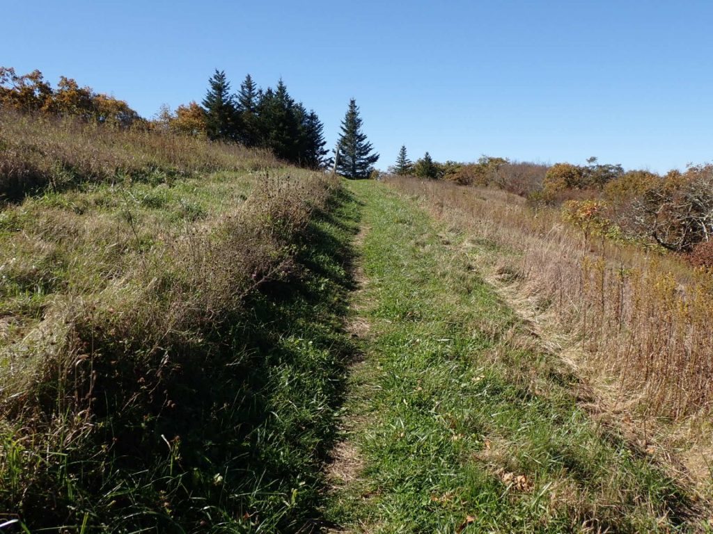
Day 120, 20-Oct. Milepost: 1432.9 milrd, Daily: 19.4. Ascent: 4985′, Descent: 5330′, Highest: 4250′. Camp: Ridgetop between North and Middle Creeks, Jefferson National Forest, 2025′. Cool weather and awesome hike over Apple Orchard Mtn (4,200′) and other ridgetops. Walked through deep layers of crisp, dry leaves on the trail. Camped alone on nice ridgetop. 65.3% completed, 760 miles to Springer Mountain!
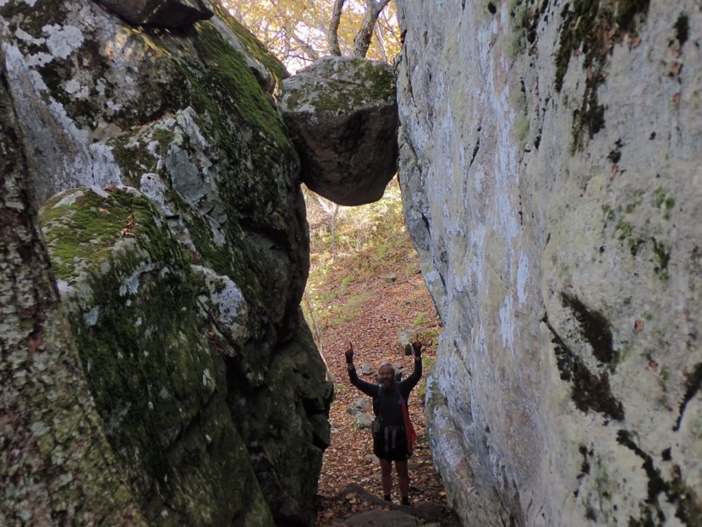
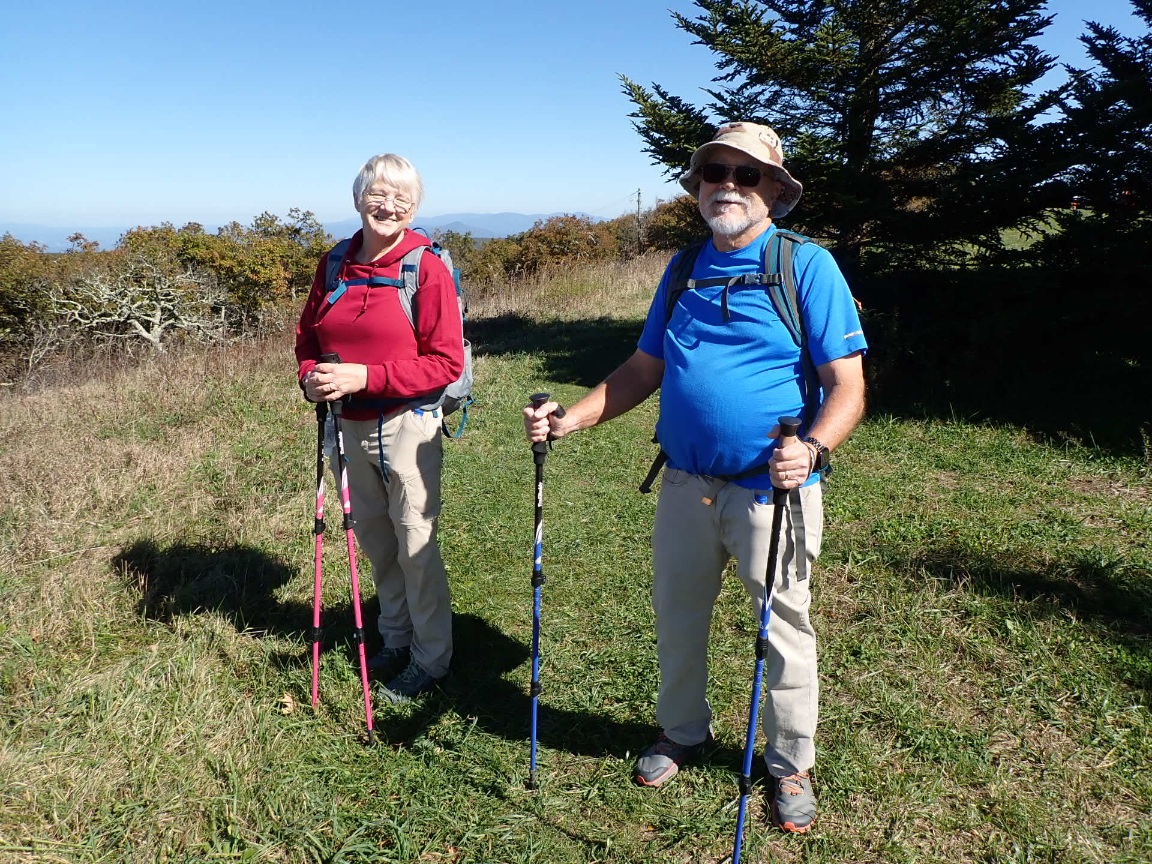
It was a fun day on the Appalachian Trail! Despite having the highest combined ascent plus descent (4985 feet ascending and 5,330 feet descending) the trail mostly goes up and down without being too steep. Sometimes it felt like waking in Forest Park in Portland! After studying The Guillotine and setting up the selfie photo (above) I met two day hikers from Lynchburg, Ron and Debbie. It is nice chatting with people such as them who know the trail well because they live near it.
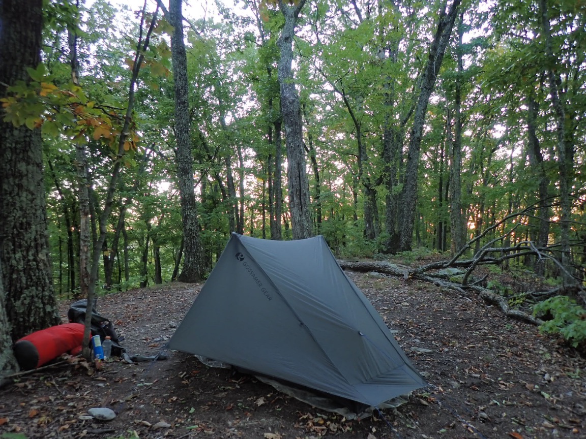
I hiked a couple of extra miles with three liters of water in my pack so I could sleep in an awesome ridgetop camp
Highlights of the past week:
Making great progress. Congratulations. Thank you for sharing your wonderful experience.