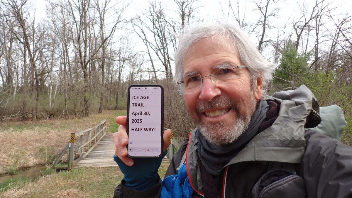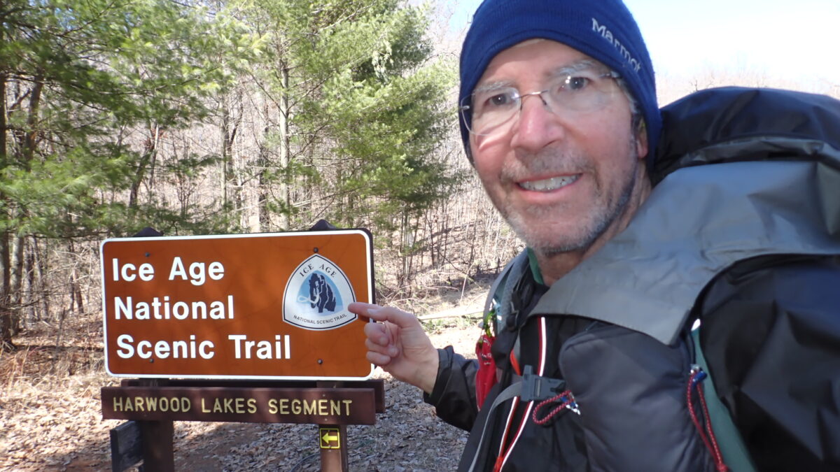
May 5, 2025, Devils Lake State Park, Wisconsin, by Roger Carpenter / Greg in Wild
My real-time location: Garmin InReach
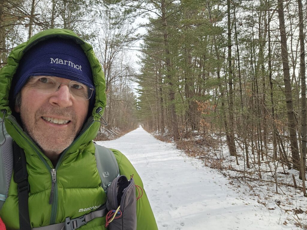
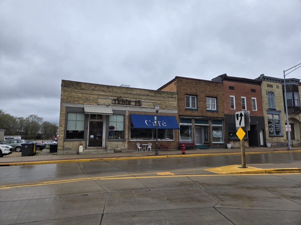
The view outside from my hotel window on May 1 was not encouraging. The parking lot had large puddles of rain that fell most of the night. My weather app predicted high temperature in the upper 40s. “Really?” I thought. The hike would be easy because it was one more day on the ‘great IAT roadwalk to southern Wisconsin”. Great! It should be warmer in the south, right? Less rain? Maybe, just not that day. I needed to hike 26.7 miles, but a brief stop in the small town of Montello could provide midday relief.
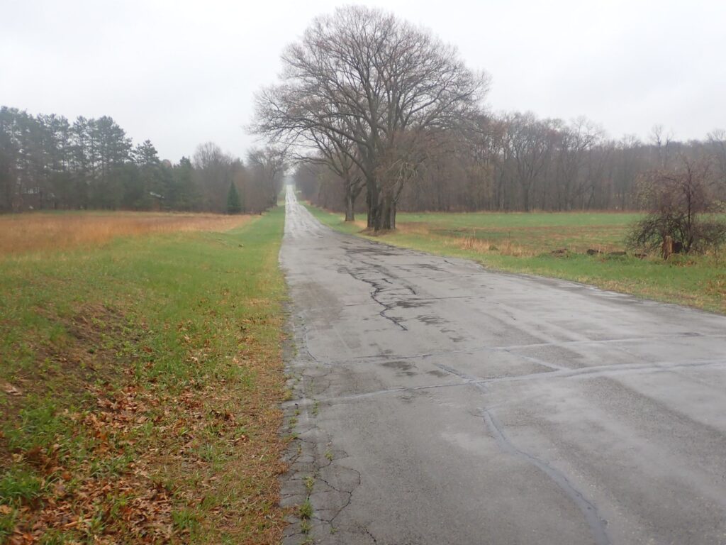
Neither the rain nor wind were strong, but both were persistent. After 12 miles, as I felt the cold dampness deep under my base layers and rain jacket, I noted a pit toilet building in a parking area next to a lake . Without hesitation, I went inside to get dry and perhaps warm up.
Continue reading “Ice Age Trail Days 39-43, May 1 to 5, 94 miles: Is it spring now?”