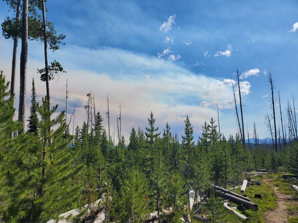
With a heavy heart I waited for Ronnie to pick me up for the drive from Salmon to Chief Joseph Pass. The nearby Moose Creek fire had expanded to over 20,000 acres and two helicopter pilots died in a crash while fighting the wildfire. My complaints of breathing smoke and watery eyes were trivial. The effort to hike on the first day back on the trail was easy compared to the tough and dangerous work done by fire crews.
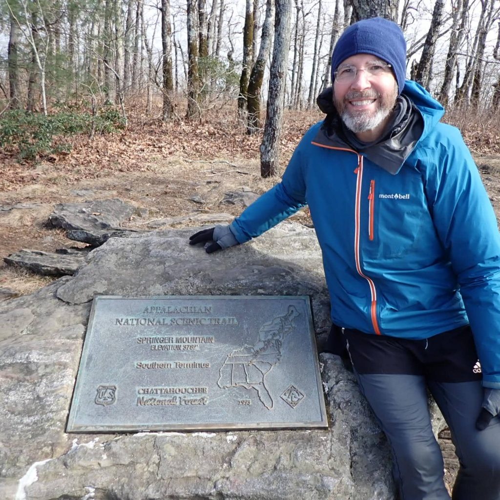
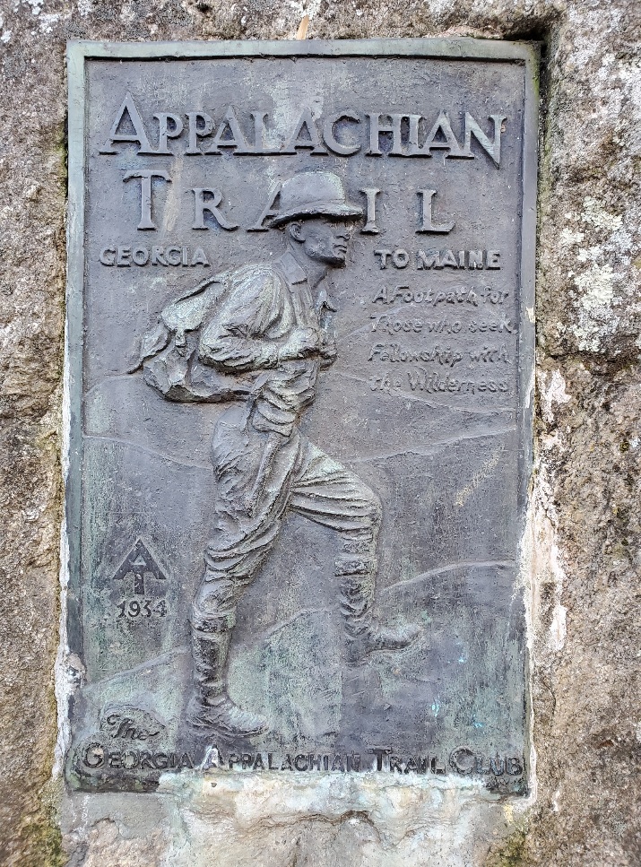
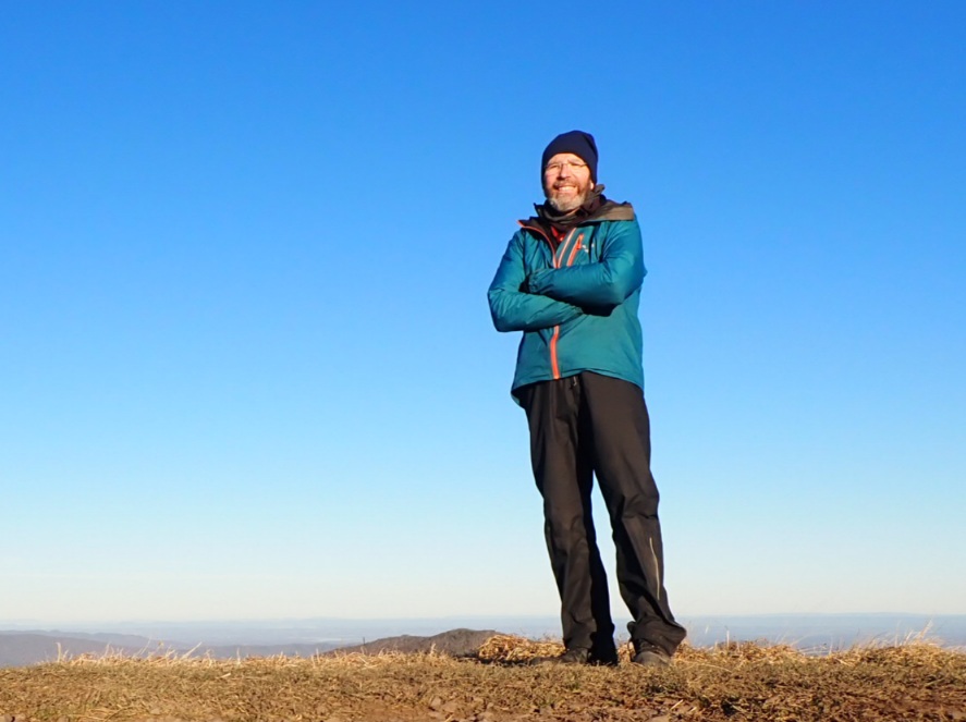
I really did it. On a nice sunny and breezy day I arrived at Springer Mountain in Georgia at 11:41am on December 15, 2021. Cindy and our friend Sharon hiked up to Springer Mountain along the Approach Trail and arrived at the same time as I did.
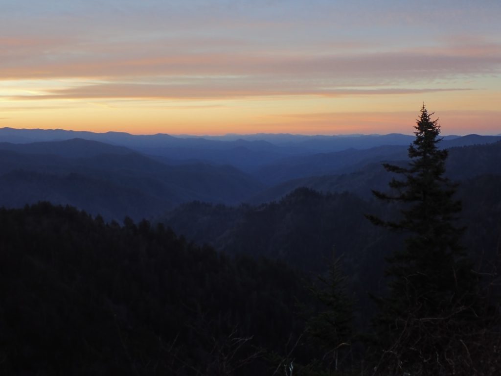
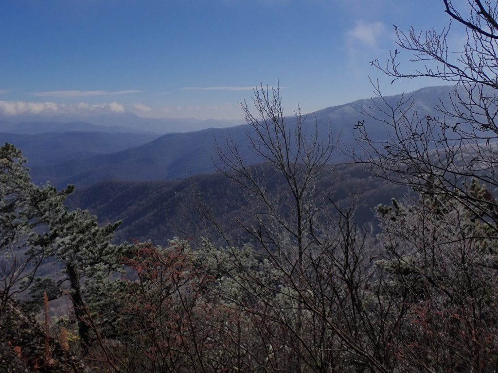
The weather is perfect…enabling me to savor the last few glorious days on the Appalachian Trail. I am embracing some special moments: seeing a Spotted Towhee, my favorite bird which are rarely seen on the AT but numerous in Oregon; conversations with other hikers who are passionate about this trail and curious about my thru-hike; the clear sky at night with the moon, planets and stars illuminating my campsites; owls hooting; the incredible sunrises and sunsets; and simply walking!
Since I last posted on December 8 I hiked 16.7 miles from Dick’s Creek Gap to Unicoi Gap, a section that looked easy on the map. In reality the altimeter watch I wear indicated I climbed 5,295 feet, many of which were steep. Only on three other days did the ascent exceed what I did on December 10. It’s no wonder I was tired! Lisa, the owner of Hostel Around the Bend, drove to Unicoi Gap and returned me to the hostel. I will resume hiking on December 12. The zero days at the hostel are conveniently timed for the rainy weather on the 10th and 11th. Along the 51 miles to Springer Mountain sunny and mild weather will inspire my footsteps to the completion of the Appalachian Trail!
Yesterday, December 9, there were no panoramic views or small things that inspired me to capture images for the blog. However, as I got closer to and crossed into Georgia I noticed the unusual and somewhat funny names of places on trail signs. I am devoting the images posted here to those signs and others I photographed during the last few days.
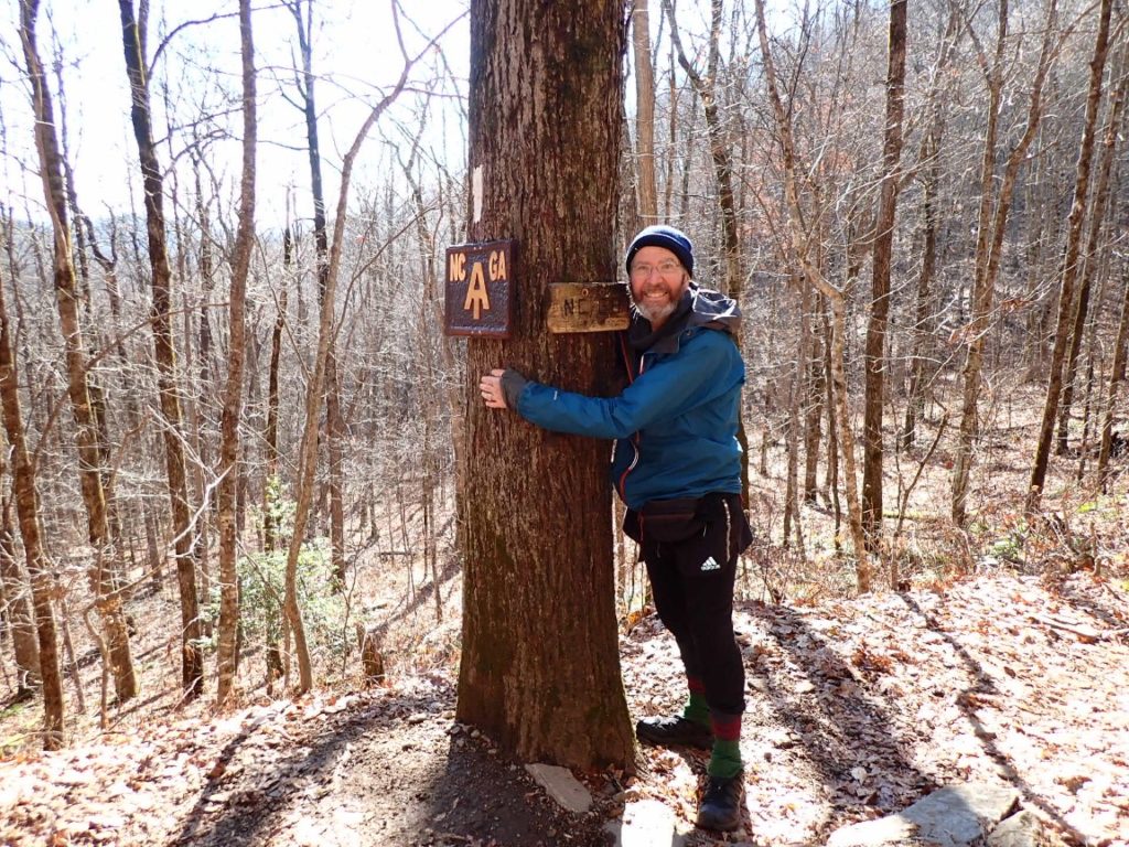
69 miles! That is all that remains of the Appalachian Trail for me to hike between today, December 8, and December 15, the day Cindy will meet me at Springer Mountain. There were signs that the end of my journey was near. I crossed the place on the AT that was just 100 miles from Springer Mountain. Soon after that was the border between North Carolina and Georgia, the final state to enjoy.
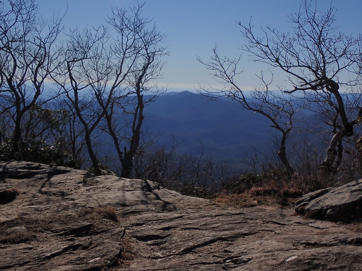
The southern border of Great Smokies National Park represented a transition on this 2,193 mile hike. Going forward from there it is only 168 miles to Springer Mountain, the southern terminus of the AT. As of today its even fewer, 151 miles! The mountains will be lower than the Smokies, although sometimes just as steep. I will finish on December 15 when my lovely wife Cindy will meet me at Springer Mountain. I really look forward to our reunion! The schedule enables a welcome level of flexibility for my hiking to the finish.
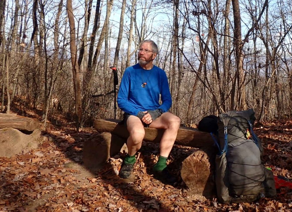
My mind wanders as I walk these near-the-end miles, often landing on a larger perspective of the journey.
I hiked through 77 miles of the Great Smokies National Park in five days. The elevation was as high as 6,610 feet, the weather was cold and icy one day. But the rest of the time it was very pleasant.
First day in Great Smokies National Park. Above 4000′ ice clung to trees, trail had dusting of snow, temperature dropped below freezing in shaded areas. The higher I hiked the more icy everything got. The trail looked like winter sometimes. In camp I have a hot water Nalgene bottle inside sleeping bag. It’s too cold to write much more. Enjoy the photos!
Happy Thanksgiving to my American friends who celebrate this holiday. By chance I am staying at the Standing Bear Farm Hostel to let a minor rain and snow pass through the Smokey Mountains tonight. Today the hostel has arranged to take a couple of us AT hikers to Hot Springs where a large gathering of hikers are partaking in a traditional holiday meal. This is a very kind effort by the trails community and reinforces my belief in strong southern hospitality! I will enter Great Smokies National Park on November 26.
I give thanks to the many people, including hostel owners and local residents, who have provided trail magic and support along the AT. Because of them my respect for the AT has grown as I get closer to Springer Mountain, Georgia!
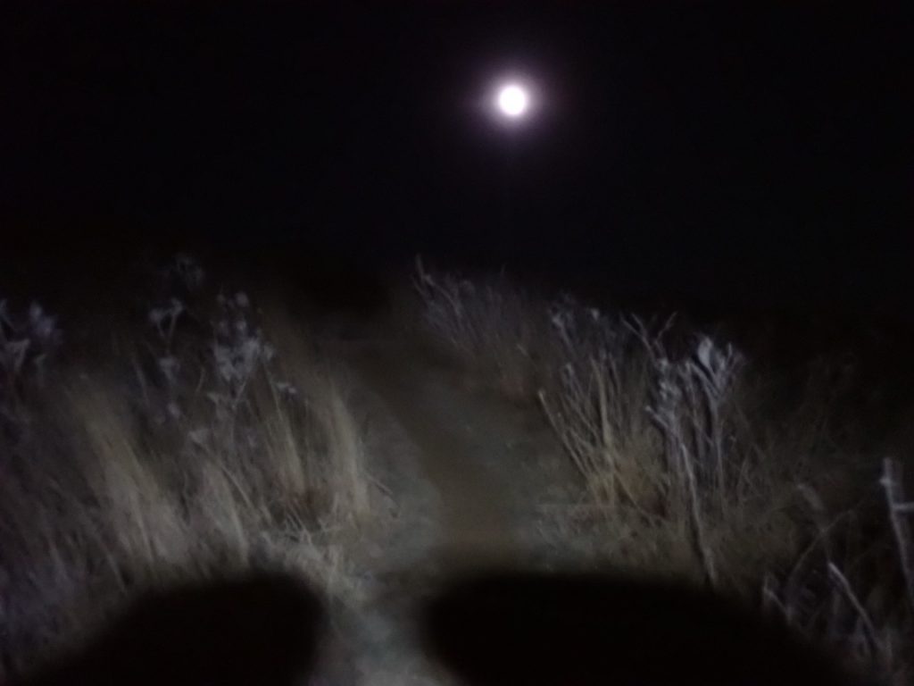
The sky cleared at around midnight while I slept in the Bald Mountain Shelter after an afternoon and evening of light rain. The clear sky was a welcome sight as I looked skyward after leaving my new, dreamy sleeping bag to find a place to pee. A lunar eclipse was in progress and I could see a mere sliver of the moon, a rare sight on any night. Very early, before dawn, while the eclipse was waning, I switched on my headlamp and headed uphill toward Big Bald. At first I was leary of climbing higher in the cold wind. Moving forward and upward was the best thing to do for warming my body. Soon, while still in darkness, the trees gave way to Big Bald, where nothing could calm the wind which was blowing strong and gusty.